Parking
There is no vehicle access at either endpoint. Reach Fifty Mountain by a connected backcountry trail; Goat Haunt is accessible by trail or boat from Waterton. Arrange a through-route or return before setting out.
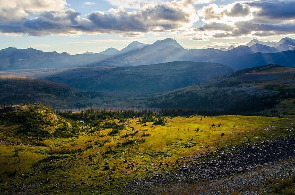
Glacier National Park, MT
A steep drop from alpine meadow to remote Goat Haunt.
Overview
Map & elevation
Plan your hike

The highest, rockiest slopes around here are a summer buffet for grizzly bears.
Glacier Tour Guide
Parkwolf is a GPS audio tour guide for Glacier National Park. As you drive, it chimes in with what’s ahead: hidden gems, upcoming stops, history, geology, and wildlife, right through your car’s speakers.
See the Glacier audio tour“Our first time to glacier and we used the audio portion for Going to the Sun Road. Wonderful information with perfect advice of what to see and do along the road.”


Trail guide
Waterton Valley Trail is a 10.5-mile point-to-point backcountry route from Fifty Mountain Campground to Goat Haunt Ranger Station. Allow about 6 to 8 hours for the crossing, with extra time for a side trip. This is one leg of a longer wilderness itinerary: neither end is a roadhead, and Fifty Mountain is reached on foot. From Fifty Mountain toward Goat Haunt, the trail loses about 2,400 feet overall; travel the other way and it becomes a long climb.
The route starts beside the broad subalpine meadow at Fifty Mountain, with the campground tucked near Kootenai Creek. It crosses the open basin, then drops through forest, avalanche swaths and rocky outcrops. Views open toward the Citadel Peaks as you descend. At the meadow’s north end, look for the remains of an unfinished stone shelter. The meadow is the route’s signature view; include a strip of trail or camp edge in a photo to show its scale.
The steep descent eases near the Waterton River valley. On this section you pass the Pass Creek patrol cabin and footbridge, then the Stoney Indian Pass junction. Near Goat Haunt, the Kootenai Lakes Trail branches west toward the largest lake and its backcountry campground; that spur is separate from the 10.5-mile route. The Waterton Valley Trail continues to Goat Haunt Ranger Station at the south end of Upper Waterton Lake.
There is no vehicle access at either endpoint. Reach Fifty Mountain by a connected backcountry trail and plan a through-route or a very long return; Goat Haunt is accessible by trail or boat from Waterton. Boat arrivals at Goat Haunt involve an international border, and hikers going beyond the ranger station must follow current entry procedures. Overnight camping in Glacier requires a wilderness permit. Pets are not permitted on park trails or in the backcountry. This is bear country: carry bear spray where you can reach it and follow food-storage rules.
Wildlife
 404 sightingsGrizzly BearMost seen around 6 AMSighting map
 11 sightingsWolverineMost seen around 8 PMSighting map
 1,173 sightingsMountain GoatMost seen around 6 AMSighting map
 1,000 sightingsBighorn SheepMost seen around 6 AMSighting map
 395 sightingsMooseMost seen around 6 AMSighting map
 506 sightingsBlack BearMost seen around 8 PMSighting map
Sighting maps show where each species has been reported across Glacier. Wildlife moves, so no sighting is guaranteed.
Keep exploring
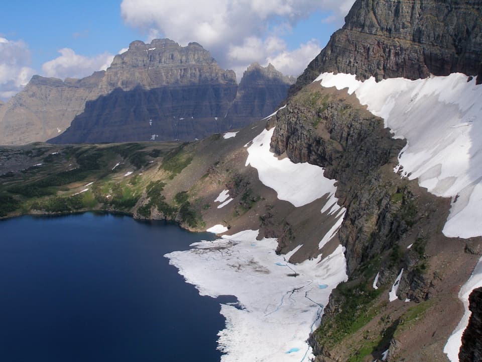 ModerateSue Lake Overlook Trail0.8 mi · 45 min · 0.6 mi awayA steep spur climbs to a high perch above Sue Lake.
 ChallengingPorcupine Lookout Trail10 mi · 8 hr · 4.4 mi awayA remote ridge climb to Glacier's old fire lookout.
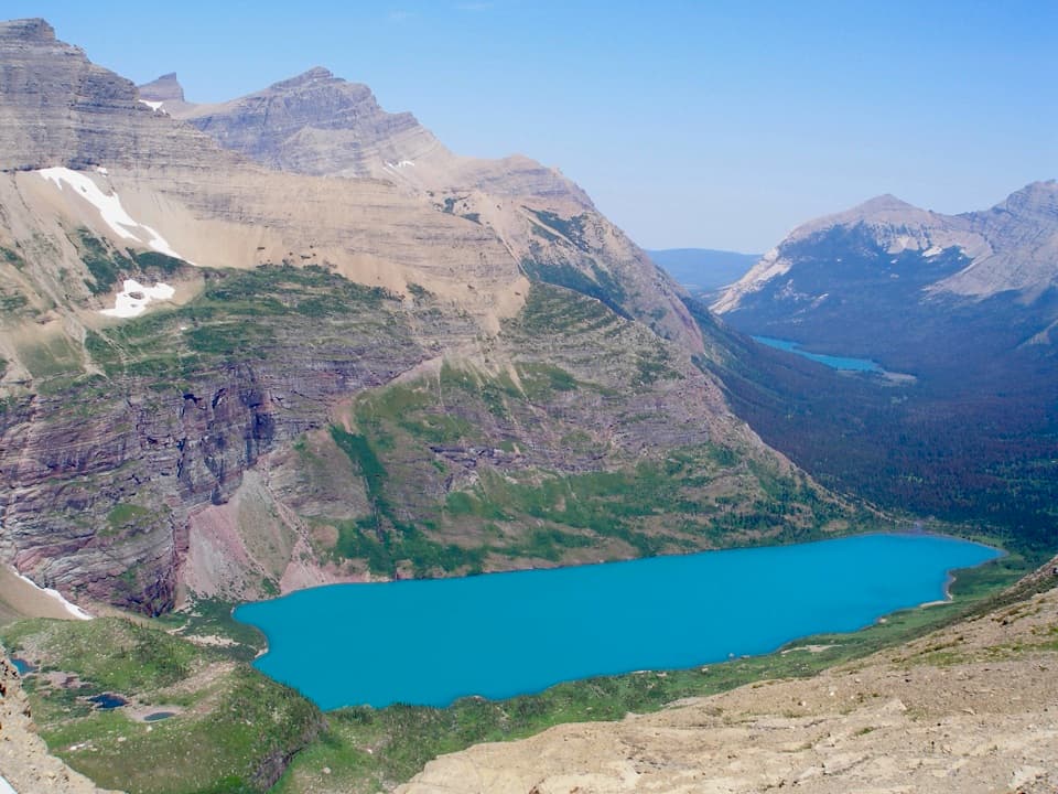 ModerateAhern Pass Overlook Trail0.8 mi · 1 hr · 4.6 mi awayA steep side trip to a high view of Helen Lake.
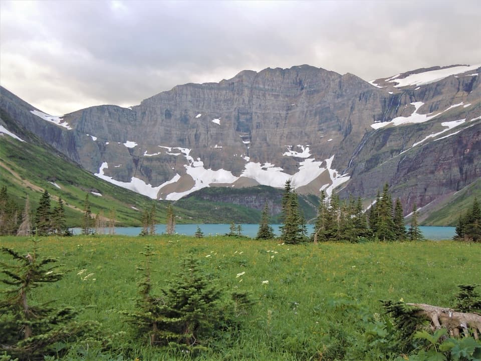 ModerateHelen Lake Trail4.3 mi · 3 hr · 6.8 mi awayA remote lake below Ahern's headwall, well inside the backcountry.ChallengingNorthern Highline Trail11.9 mi · 9 hr · 7 mi awayA remote alpine traverse for a multi-day backcountry trip.
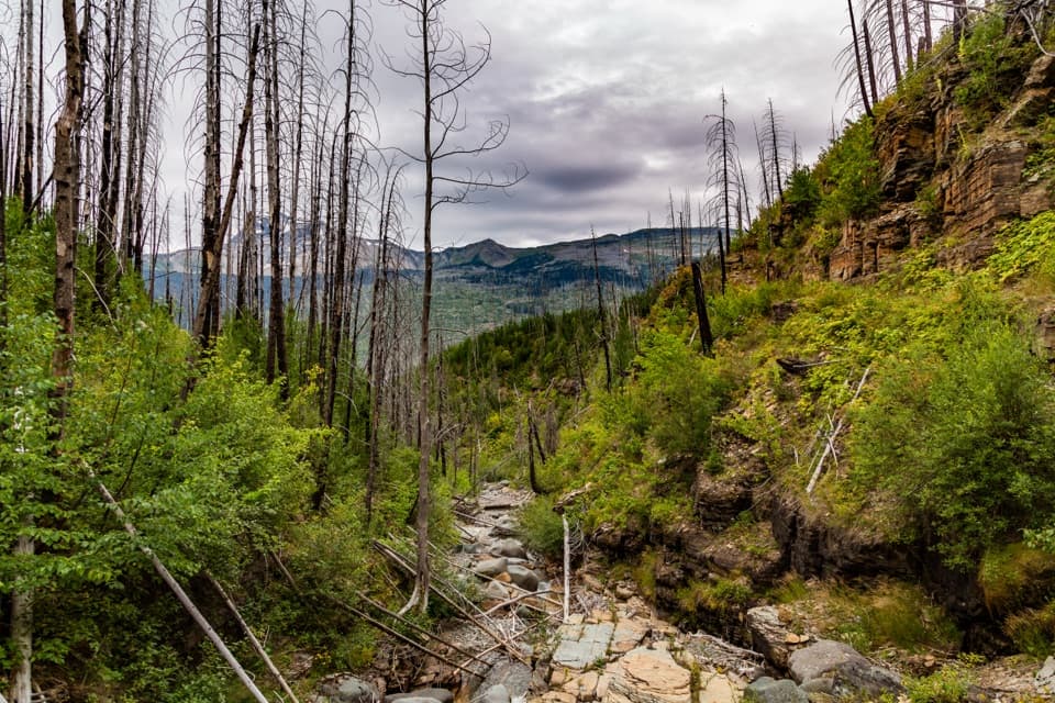 ChallengingGranite Park Trail from The Loop8.4 mi · 6 hr · 7.3 mi awayA steep climb through the 2003 burn to a historic chalet.
 ModerateGoat Haunt Overlook Trail2 mi · 1.8 hr · 7.3 mi awayA short, steep climb to a former lookout above Waterton Valley
 ChallengingLake Francis Trail12.6 mi · 8 hr · 7.4 mi awayA long backcountry walk ends at a lake below The Sentinel.
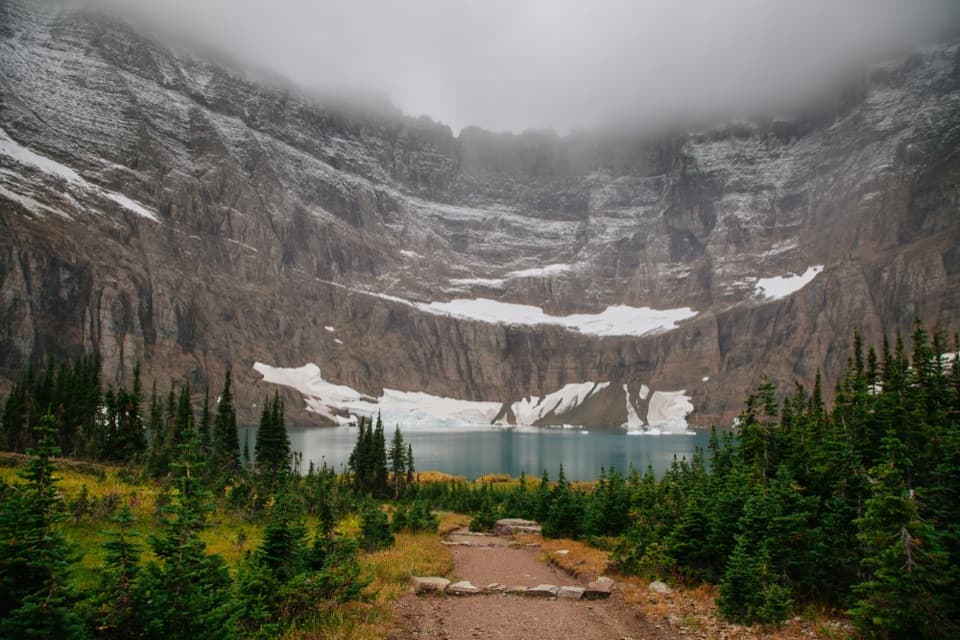 Sight · 6 mi awayIceberg LakeTurquoise water under sheer walls, sometimes still dotted with summer ice.
 Lodging · 7 mi awayGranite Park ChaletA rare 1914 chalet worth the hike if you're staying overnight.
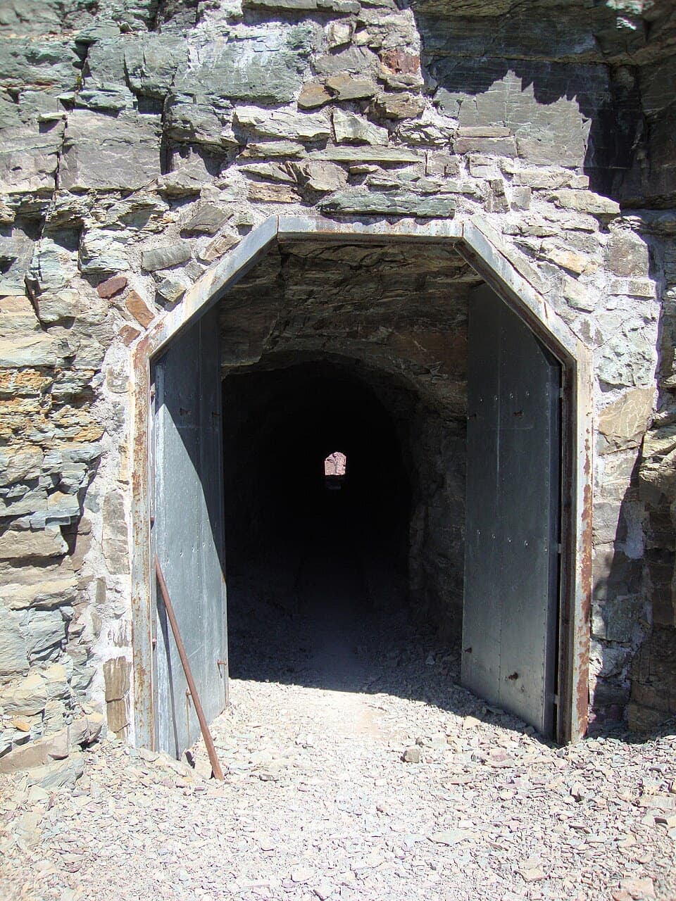 Sight · 7 mi awayPtarmigan TunnelA historic tunnel with a long climb and a sudden new view.
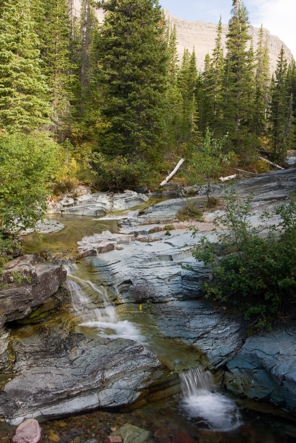 Sight · 7.2 mi awayPtarmigan FallsA waterfall break on the long hike toward Iceberg Lake.
 Sight · 7.3 mi awayThe LoopThe Sun Road's only west-side switchback, framed by Heavens Peak.
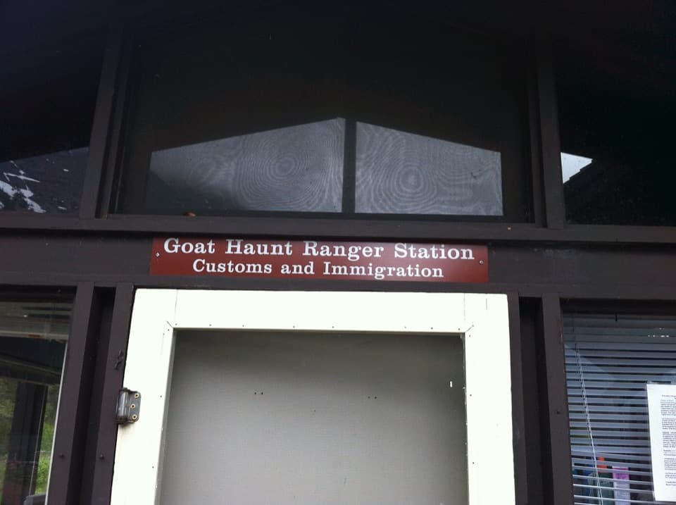 Sight · 7.4 mi awayGoat HauntA remote boat landing where two parks share one glacial valley.
 Sight · 7.8 mi awayWest TunnelTwo windows frame Heavens Peak and McDonald Creek from the road.
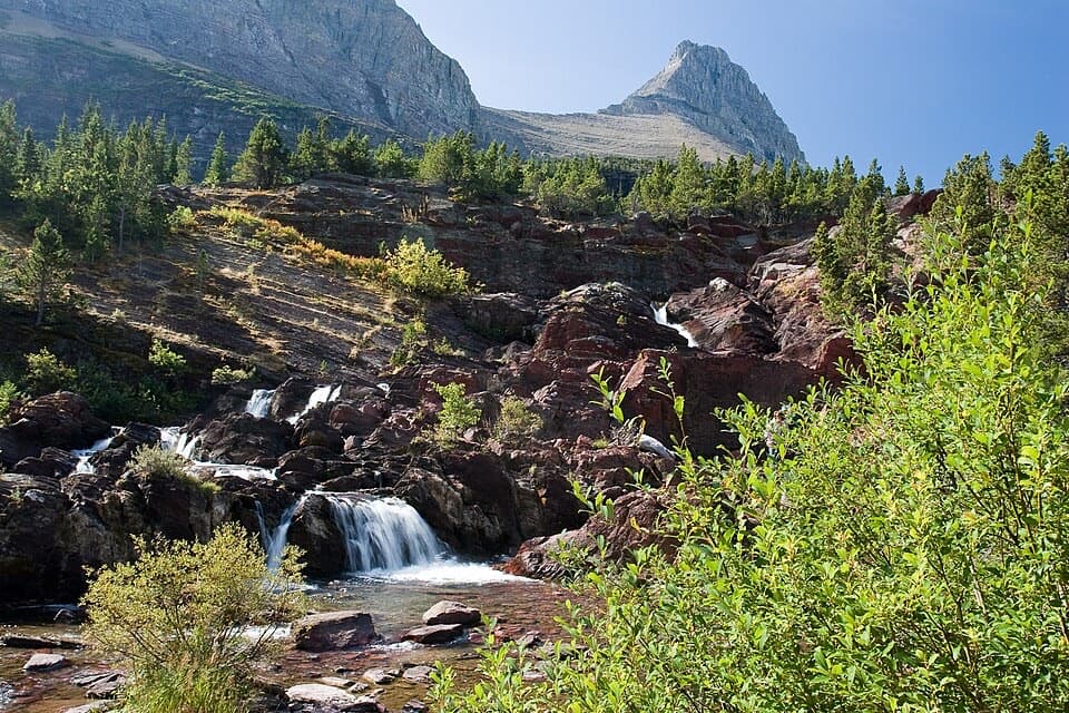 Sight · 7.9 mi awayRedrock FallsA shaded walk opens onto red-rock cascades and a mountain lake.
Parkwolf’s Glacier ranking

The audio tour guide for the drive, plus offline maps, trails, and wildlife heatmaps for when the signal drops.





