
Place · 2.1 mi away
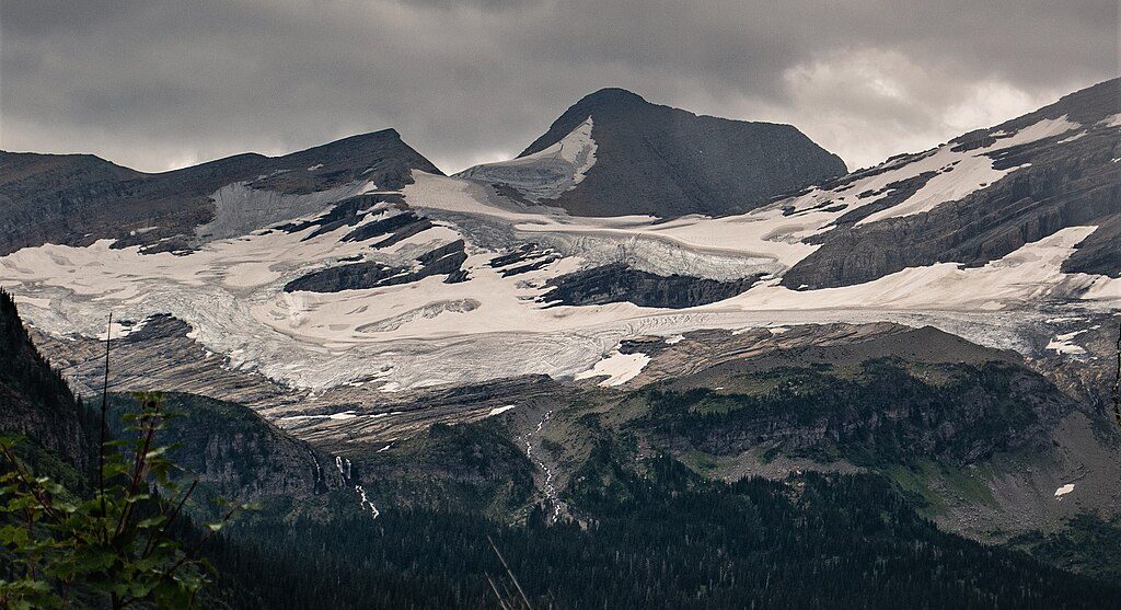
Blackfoot Glacier sits high in the Lewis Range, south of Jackson Glacier. Once part of a single ice mass with Jackson, it has dramatically retreated and separated—an on‑the‑ground snapshot of the park’s broader glacier loss. It’s a powerful place to contemplate change: the park had around 150 glaciers in 1910; by 2015, only a few dozen met the “true glacier” threshold. USGS repeat photography of Blackfoot/Jackson makes that story painfully clear.
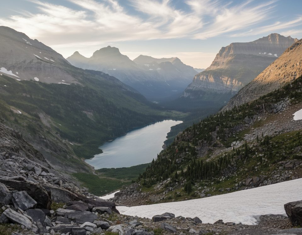
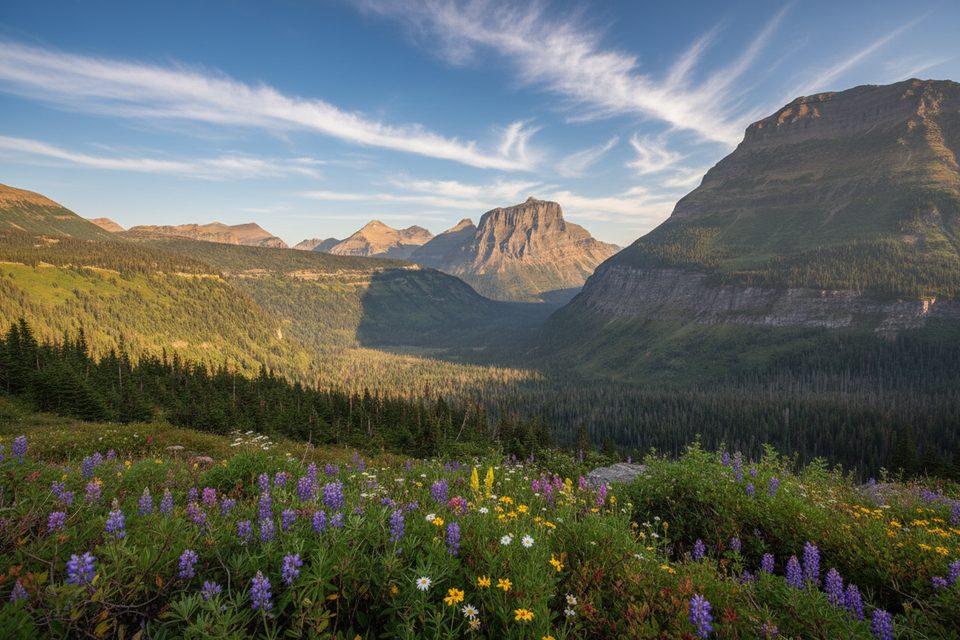
This is a rugged, wild cirque etched into ancient Belt Supergroup rock uplifted along the Lewis Thrust. Expect the full glacial toolkit on display—U‑shaped valleys, moraines, tarns, arêtes. The glacier itself occupies a high basin that feels remote and austere, especially late season when seasonal snow peels back.
There’s no good roadside view. The Jackson Glacier Overlook shows Jackson, not Blackfoot. The closest maintained corridor is the Gunsight Pass Trail (St. Mary side near the Jackson Glacier Trailhead), but actually reaching Blackfoot’s basin typically requires off‑trail travel, creek fords, and unstable moraine/snow. That’s advanced terrain and not recommended for most visitors. If you want an excellent, safer glacier day hike on maintained trails, aim for Grinnell or Sperry instead. Distant glimpses of Blackfoot are possible from high routes like Piegan Pass on long traverses.
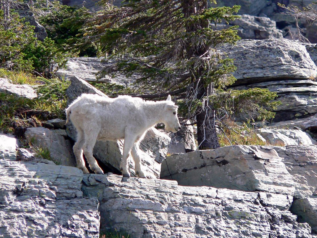
This high country sees mountain goats and bighorn sheep, and the broader area is grizzly country. Hike in groups, make noise, carry bear spray where you can deploy it quickly, and keep at least 100 yards from bears and wolves (25 yards from other wildlife).
Late July through September usually offers lower snow coverage and more reasonable creek levels. For long views from high passes, aim for clear afternoons when shadowing helps define the ice. Start early to secure parking and to build a generous safety margin for weather and route‑finding.
Place · 2.1 mi away
Place · 2.8 mi away
Place · 2.8 mi away
Place · 3.4 mi away
Challenging · 5.8 mi away
Challenging · 5.9 mi away
Challenging · 5.9 mi away
Moderate · 5.9 mi away

Parkwolf Tour Guide
