Parking
Jackson Glacier Overlook on Going-to-the-Sun Road has parking and a shuttle stop. Follow Gunsight Pass Trail about six miles to the spur junction just south of the St. Mary River bridge; there is no direct road access to this trailhead.

Glacier National Park, MT
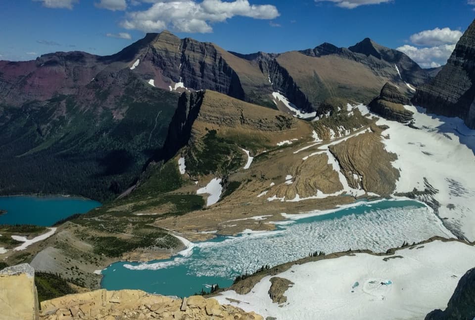
A rough climb ends in meadows beneath Jackson Glacier.
Overview
Map & elevation
Plan your hike

The highest, rockiest slopes around here are a summer buffet for grizzly bears.
Glacier Tour Guide
Parkwolf is a GPS audio tour guide for Glacier National Park. As you drive, it chimes in with what’s ahead: hidden gems, upcoming stops, history, geology, and wildlife, right through your car’s speakers.
See the Glacier audio tourMore stories near here in the app
“Our first time to glacier and we used the audio portion for Going to the Sun Road. Wonderful information with perfect advice of what to see and do along the road.”


Trail guide
Jackson Glacier Trail is a 1.1-mile point-to-point spur from Gunsight Pass Trail to a glacier-fed stream beneath Jackson Glacier, with about 630 feet of climbing. That distance is one way for the named branch. Its junction is roughly six miles along Gunsight Pass Trail from Jackson Glacier Overlook, so hiking from the road, doing the spur and returning is about 14–15 miles. Allow about 1½ hours for the spur itself and set aside a full day for the whole outing. This is the close-up option for the glacier basin; the roadside overlook gives you a glacier view without the long approach.
The first 0.15 mile is level, then the route climbs steeply for about a quarter-mile over loose, rough tread. There are a couple of short places where you may want a hand for balance. Take this section slowly: once you reach the ridge, the trees thin and the trail crosses open alpine meadows kept wet by meltwater. The climb eases, but the ground can stay soggy.
The trail finishes at a larger stream draining from the glacier. Jackson Glacier sits higher on the slope beyond broad rock slabs; the route does not continue across the moraine. Turn back at the stream and return on the spur to the Gunsight Pass Trail. For a photo, keep some of the wet meadow or stream in the foreground with the glacier above it; that shows the setting without implying you can hike to the ice.
The view is a chance to see what remains of a named glacier in a warming mountain range. The park measured Jackson Glacier at 316 acres in 1966 and 187 acres in 2015. Historic and repeat photographs document substantial retreat over the twentieth century; comparisons from 2009 and 2020 showed little apparent change in its visible extent over that shorter period.
Start at Jackson Glacier Overlook on Going-to-the-Sun Road, then follow Gunsight Pass Trail about six miles to the branch just south of the St. Mary River bridge. The overlook has parking and a shuttle stop; there is no direct road access to the spur. Dogs are not permitted on park trails. In autumn, snow can return and most seasonal bridges are removed by late September, so check the current trail status before committing to the long approach.
Wildlife
 404 sightingsGrizzly BearMost seen around 6 AMSighting map
 11 sightingsWolverineMost seen around 8 PMSighting map
 1,173 sightingsMountain GoatMost seen around 6 AMSighting map
 1,000 sightingsBighorn SheepMost seen around 6 AMSighting map
 395 sightingsMooseMost seen around 6 AMSighting map
 506 sightingsBlack BearMost seen around 8 PMSighting map
Sighting maps show where each species has been reported across Glacier. Wildlife moves, so no sighting is guaranteed.
Keep exploring
 ModerateEllen Wilson Trail0.4 mi · 18 min · 2.5 mi awayA short meadow descent ends below Gunsight Pass’s steep cirque wall.
 ChallengingGunsight Pass Trail to Lake McDonald Lodge19.5 mi · 14 hr · 4.4 mi awayA demanding east-to-west traverse over two high alpine passes.
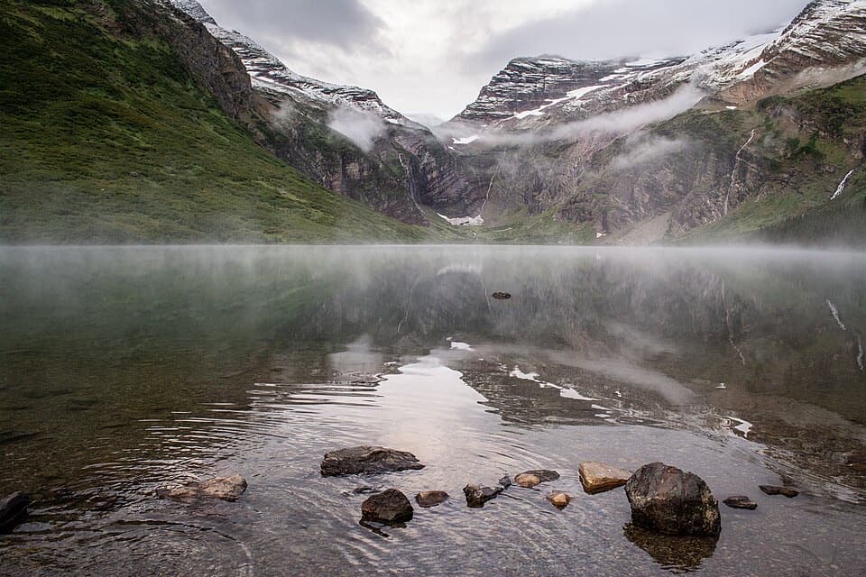 ChallengingGunsight Lake Trail12.9 mi · 8.5 hr · 4.4 mi awayA long valley walk to Gunsight Lake’s rocky shore
 ChallengingFlorence Falls Trail9.8 mi · 4.5 hr · 4.4 mi awayA long out-and-back to Florence Falls through creek and pond country
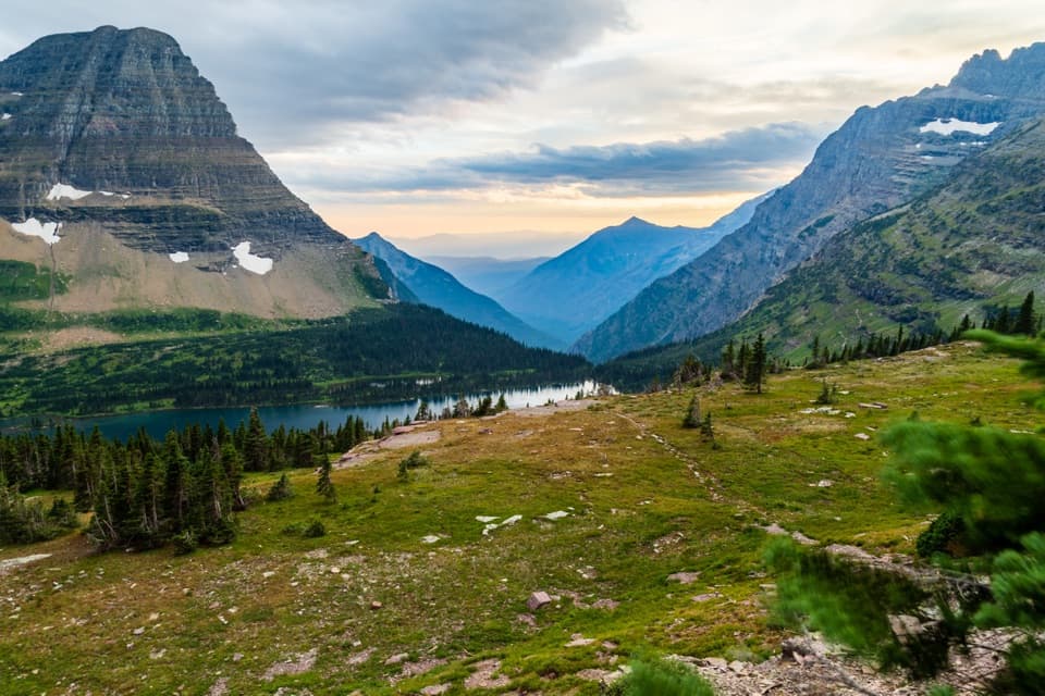 ModerateHidden Lake Overlook Trail2.6 mi · 2.5 hr · 4.8 mi awayBoardwalk and switchbacks open onto a lake beneath Bearhat Mountain.
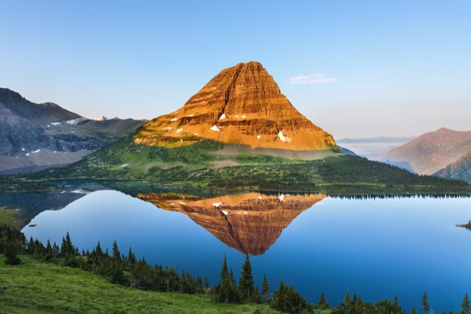 ChallengingHidden Lake Trail5.4 mi · 3.5 hr · 4.8 mi awayGo past the overlook only if you’re ready for a steep return.
 ChallengingHighline Trail to Grinnell Glacier Overlook15.1 mi · 9 hr · 4.9 mi awayA long, exposed traverse earns a knockout view over the glacier basin.
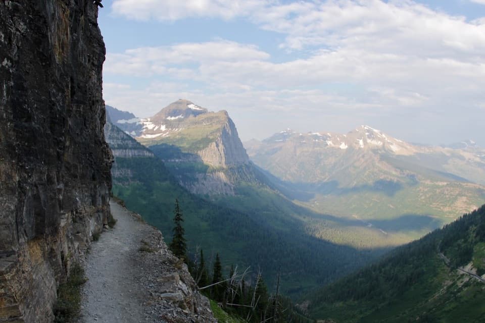 ChallengingHighline Trail11.8 mi · 8 hr · 4.9 mi awayA Garden Wall ledge walk with a long, steep finish.
 Lodging · 3.9 mi awaySperry ChaletA historic hike-in chalet with meals and resident mountain goats.
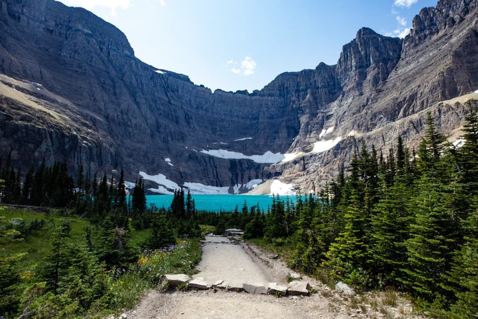
 Sight · 4.2 mi awayAvalanche LakeThin waterfalls stripe steep walls above a clear lake.
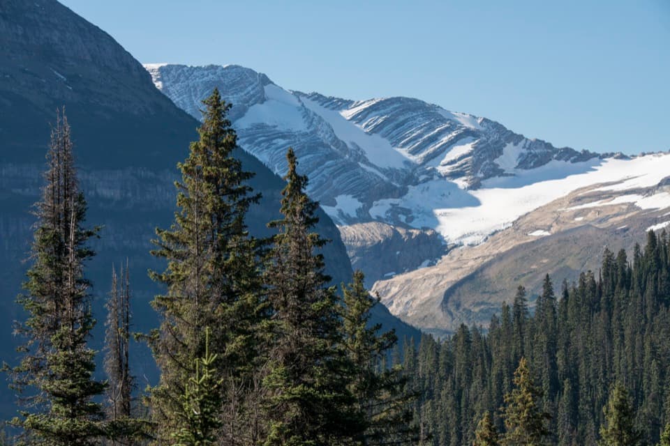 Sight · 4.4 mi awayJackson Glacier OverlookA glacier view worth the quick stop on Going-to-the-Sun Road.
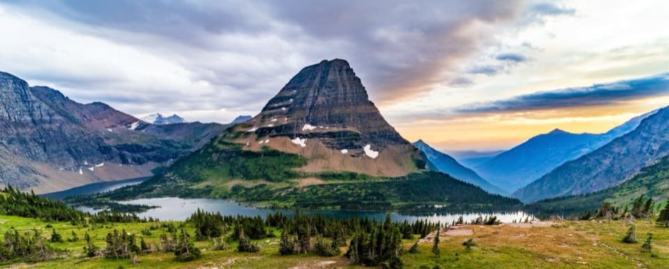 Sight · 4.5 mi awayHidden Lake OverlookAn exposed climb earns the park's classic view of Hidden Lake.
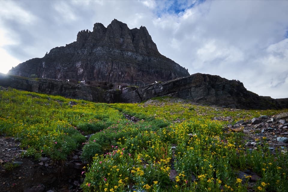 Sight · 4.9 mi awayLogan PassThe high point of the road is also a great trailhead.
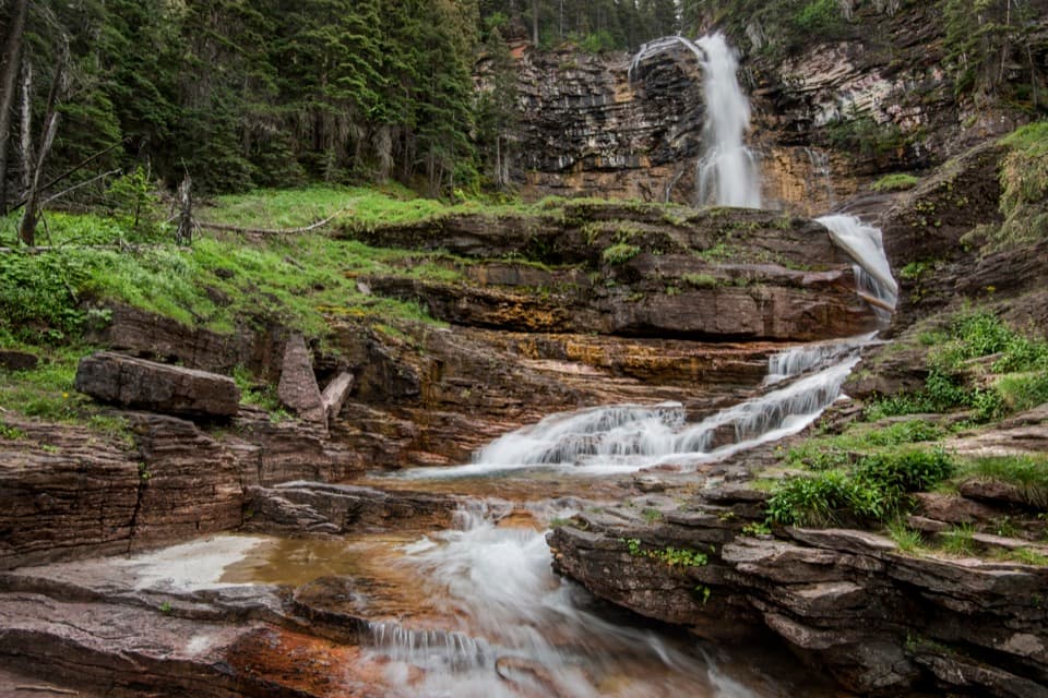 Sight · 5 mi awayVirginia FallsKeep going past St. Mary Falls for the bigger cascade.
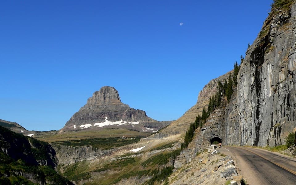 Sight · 5 mi awayEast TunnelA 408-foot cut through Piegan Mountain, right on the road.
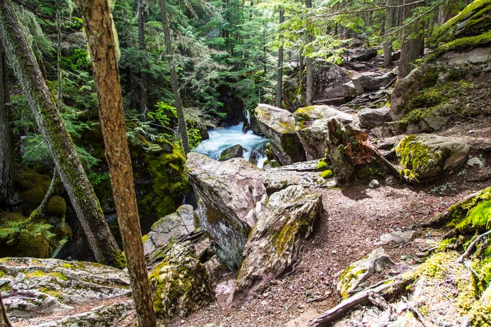
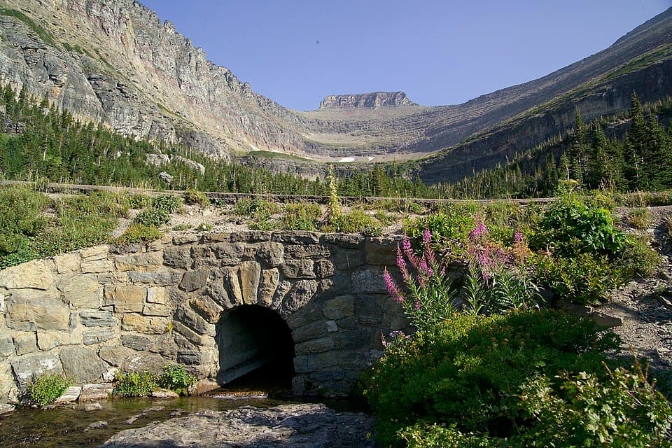 Sight · 5.1 mi awayLunch CreekA rock-step cascade beneath Pollock Mountain, framed by a stone bridge.
Parkwolf’s Glacier ranking

The audio tour guide for the drive, plus offline maps, trails, and wildlife heatmaps for when the signal drops.