Parking
Use the Lake McDonald Lodge access roads, then cross Going-to-the-Sun Road at the marked crossing to the Gunsight Pass Trailhead on the east side. Parking can be limited; carpool or use the seasonal Apgar shuttle when it is running.

Glacier National Park, MT
A long climb to high lakes, a cable-assisted pass, and glacier ice.
Overview
Map & elevation
Plan your hike

The highest, rockiest slopes around here are a summer buffet for grizzly bears.
Glacier Tour Guide
Parkwolf is a GPS audio tour guide for Glacier National Park. As you drive, it chimes in with what’s ahead: hidden gems, upcoming stops, history, geology, and wildlife, right through your car’s speakers.
See the Glacier audio tourRecorded for this trailhead
Sperry Trailhead and Chalet“You're approaching Sperry Trailhead, across the road from Lake McDonald Lodge, where the long climb to Sperry Chalet begins.”
Plays as you drive up to this trailhead in the Parkwolf Glacier Tour Guide.
More stories near here in the app
“Our first time to glacier and we used the audio portion for Going to the Sun Road. Wonderful information with perfect advice of what to see and do along the road.”


Trail guide
The Sperry Glacier outing is an 18.4-mile out-and-back from the Gunsight Pass Trailhead across Going-to-the-Sun Road from Lake McDonald Lodge. About 5.8 miles follow Gunsight Pass Trail to the Sperry Glacier junction, then roughly 3.4 miles climb to Comeau Pass and the marked glacier overlook. Expect about 4,835 feet of climbing and a day near 11 hours. This is a very strenuous high-altitude hike for fit, acclimatized hikers. The route ends at the overlook stake; it does not take you onto the glacier.
Park along the Lake McDonald Lodge access roads, cross Going-to-the-Sun Road at the marked crossing, and start on its east side. Parking near the lodge can be limited; carpooling or the seasonal shuttle from Apgar can help. The lower trail climbs through cedar, hemlock, and the recovering 2017 Sprague Fire burn, with junctions toward Mount Brown Lookout, Snyder Lakes, and Fish Lake. Stay on Gunsight Pass Trail until the signed Sperry Glacier junction, about 0.4 mile below Sperry Chalet. The chalet is a nearby detour, not part of the stored route to the glacier.
From the junction, the route moves through trees and meadows along the basin's east side, then crosses talus and a creek below Feather Woman Falls, about 0.4 mile in. At 0.7 mile, cross Akaiyan Creek and start the long switchbacks up the basin's west wall. The grade steepens near Akaiyan Falls, where water spills over slabs beside the trail. Around 1.5 miles, another creek crossing and a boulder-strewn shelf open views toward Lincoln Peak and the high summits southwest of the park. At the headwall, rock outcrops and small alpine meadows replace the lower basin's greener slopes.
Feather Woman Lake sits at about 7,538 feet. The trail crosses its outlet stream just above a small fall; flat rocks help with the crossing, though water levels vary. Farther on, Akaiyan Lake rests in a rocky bowl below a high ledge of waterfalls. The trail traverses shelves above the lake before beginning the final climb. Mountain goats have been reported in this upper basin; give them room if you see them.
The last ascent steepens on switchbacks below the pass. Rock steps cut into the cliff have an assist cable where snow or ice can cover the footing, so this exposed section takes care and time. Comeau Pass is about 8,025 feet high and opens north over Avalanche Basin toward the Logan Pass peaks.
A marked route continues about 0.6 mile beyond the pass. It crosses the broad saddle, drops slightly, then follows cairns and a boot-beaten track over permanent snow and a few stone ledges to a stake at the overlook. The glacier lies below Gunsight Mountain, with meltwater ponds that feed waterfalls into Avalanche Basin. This is the signature view: frame the ice with the red rock and mountain above it. Retrace the same exposed snow crossing, steep basin climb, and long forest descent.
Sperry Chalet opened in 1914 as one of the backcountry chalets built for the Great Northern Railway by James J. and Louis Hill. Its dormitory burned in the 2017 Sprague Fire; the surviving stone walls were stabilized, and the reconstructed chalet returned to service in 2020. When the chalet is operating, it offers food, snacks, drinking water, and restrooms, but those services are seasonal and require the short detour from the glacier junction.
Sperry is the park's most studied glacier. Meltwater ponds beneath it feed the falls in Avalanche Basin, and the ice is part of a much smaller modern landscape than the one early visitors knew: the park counted about 80 glaciers in the region around 1850 and 26 named glaciers meeting its size threshold in 2015 imagery. Those are dated historical counts, not today's total. Late August and early September often offer clearer glacier views after most winter snow has melted, but the high pass and final snowfield can remain snow-covered, and conditions change from year to year. Pets are not allowed on park trails.
Wildlife
 404 sightingsGrizzly BearMost seen around 6 AMSighting map
 11 sightingsWolverineMost seen around 8 PMSighting map
 1,173 sightingsMountain GoatMost seen around 6 AMSighting map
 1,000 sightingsBighorn SheepMost seen around 6 AMSighting map
 395 sightingsMooseMost seen around 6 AMSighting map
 506 sightingsBlack BearMost seen around 8 PMSighting map
Sighting maps show where each species has been reported across Glacier. Wildlife moves, so no sighting is guaranteed.
Keep exploring
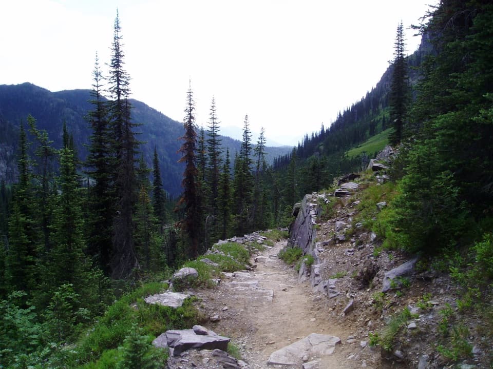 ChallengingSperry Chalet Trail12.6 mi · 9.5 hr · At the trailheadA steep, rocky climb to the stone chalet above Lake McDonald
 ChallengingMount Brown Lookout Trail10.4 mi · 8.5 hr · At the trailheadA 4,300-foot climb ends at a historic lookout above Lake McDonald.
 ModerateFish Lake Trail5.4 mi · 3.5 hr · At the trailheadA small lily-pad lake, earned with a steady 1,000-foot climb.
 EasyAvalanche Trail5.6 mi · 3 hr · 0.1 mi awayA shaded forest crossing between Lake McDonald and Avalanche Creek.
 ModerateSnyder Lakes Trail8.6 mi · 5.5 hr · 0.1 mi awayA forest climb opens onto talus, meadows, and Lower Snyder Lake.
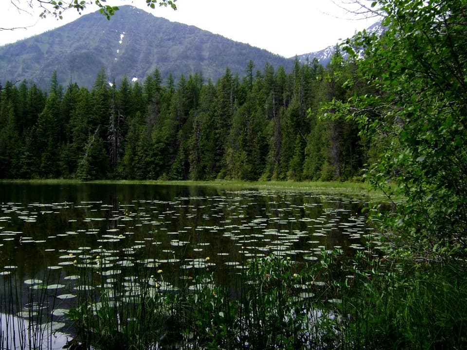 EasyJohns Lake Loop Trail2.6 mi · 1.5 hr · 1.3 mi awayA shady loop reaches a small lake, cascades, and a forest creek.
 ChallengingLincoln Lake Trail16.6 mi · 10 hr · 1.3 mi awayA ridge crossing ends beneath a hanging waterfall.
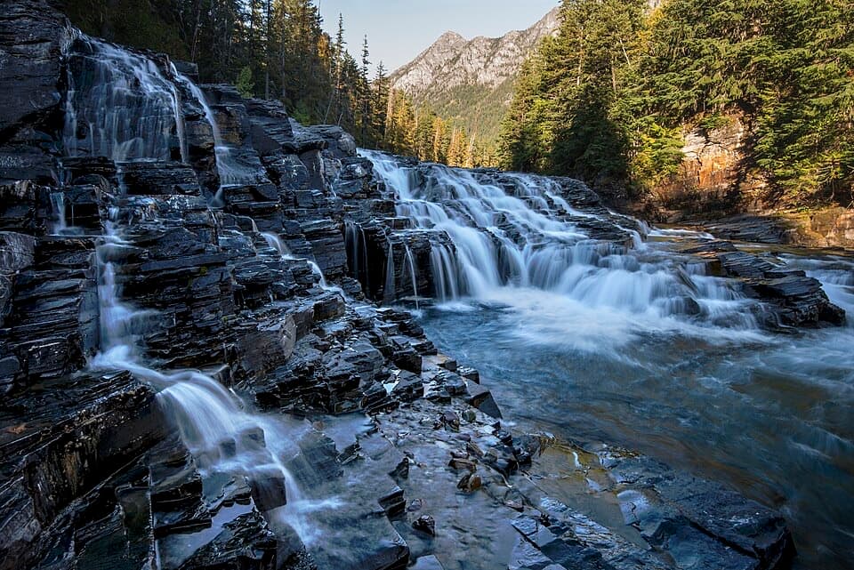 EasyUpper McDonald Creek Trail5.4 mi · 2.5 hr · 1.4 mi awayA gentle creek walk to two cascades and a quiet forest finish.
 Lodging · 0.1 mi awayMotel Lake McDonaldA no-frills stay near Lake McDonald Lodge.
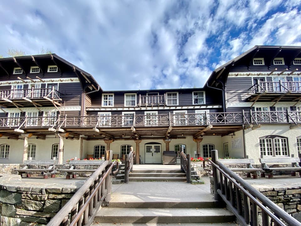 Sight · 0.2 mi awayLake McDonald LodgeA lakeside landmark for boat trips, meals, and its timbered lobby.
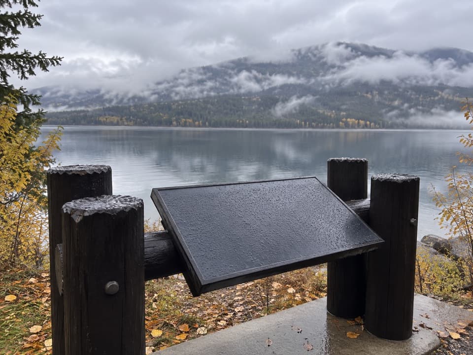 Scenic pullout · 0.5 mi awayNorth Lake McDonald ViewA lakeshore pause where Howe Ridge's fire history comes into view.
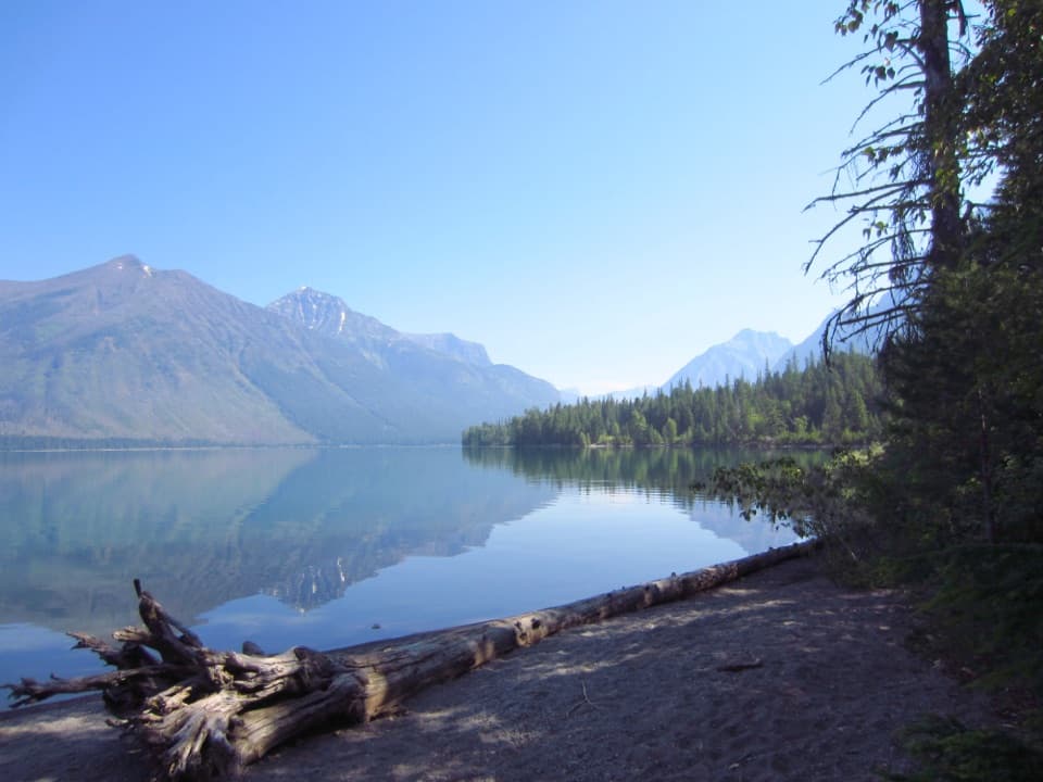 Campground · 0.9 mi awaySprague Creek CampgroundLake McDonald camping beneath cottonwoods, with some open shore views.Picnic area · 0.9 mi awaySprague Creek Picnic AreaA Lake McDonald picnic stop off the Going-to-the-Sun Road.
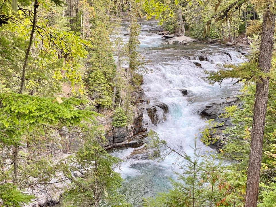 Sight · 1.6 mi awayMcDonald FallsA quick, accessible overlook above McDonald Creek’s blue-green rapids.
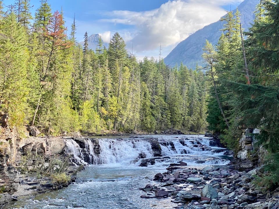 Sight · 2 mi awaySacred Dancing CascadeA quick stop for clear water spilling over layered creek rock.
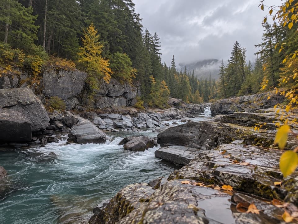 Sight · 3.1 mi awayMcDonald Creek OverlookA close look at Glacier's longest creek system.
Parkwolf’s Glacier ranking

The audio tour guide for the drive, plus offline maps, trails, and wildlife heatmaps for when the signal drops.





