
Place · 3 mi away
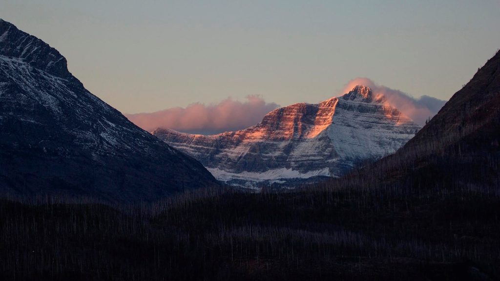
Triple Divide Peak is Glacier’s hydrologic party trick: a modest‑height summit (~8,020–8,025 ft) where a single storm can send water to the Pacific, the Atlantic (via the Gulf of Mexico), and Hudson Bay. It sits where the Continental Divide meets the Northern (Laurentian) Divide. The mountain itself is pure backcountry—no frills, just geology doing something extraordinary.
Most folks approach from the Cut Bank side, heading toward Triple Divide Pass before tackling the rugged final stretch to the summit. Expect a big day: typical reports put it in the 14.5–17 mile round‑trip range with roughly 2,500–2,900 feet of gain. The last bit involves boulder fields and exposed terrain with some route‑finding. Along the way you’ll get classic Glacier scenery—glacially carved walls, colorful reddish sedimentary layers, open basins, and long views. Medicine Grizzly Lake is a scenic highlight from the approach.
Stand on the summit and you’re literally on the seam of a continent. Precipitation here can head three ways—toward the Columbia River (Pacific), the Missouri/Mississippi (Atlantic), or the Saskatchewan to Hudson Bay. There are other triple divides in the world, but this one anchors Glacier’s story of watersheds in a way you can feel under your boots.
This corner of the park is alive with critters. Hikers commonly note mountain goats and pikas in the rocks, and small songbirds like White‑crowned Sparrows flitting through subalpine shrubs. Trip reports also mention encounters and sightings of grizzly bears, bighorn sheep, and marmots along the broader route—bring your bear savvy and keep your distance.
It’s wilderness all the way: no services at the peak, pass, or along most of the approach. Parking is at the distant Cut Bank trailhead. The nearest primitive toilet is at Atlantic Creek Backcountry Campground, just shy of the pass—otherwise, plan to be fully self‑sufficient. You’ll find natural water sources en route, but you’ll need to treat or filter.
This is a committed, strenuous day with real mileage, meaningful elevation gain, and a final section that can feel airy and slow going. That extra effort pays off in solitude; even in high season, the Cut Bank side is quieter than Glacier’s headline attractions.
Late summer into early fall is the sweet spot for minimal snow and more reliable footing. Earlier in the season, lingering snowfields can make the upper approach icy and hazardous. Even at peak visitation, this area tends to be less crowded than the park’s roadside hot spots. If you just want a distant look, the peak is visible from the Two Dog Flats area along the main road—but the summit experience requires the Cut Bank approach.
Weather turns fast at elevation—carry layers and be ready to turn around if storms build. Expect lingering snow early season; traction can be essential. Carry bear spray, make noise in brushy stretches, and practice all standard wildlife precautions.
Place · 3 mi away
Place · 3.5 mi away
Place · 3.6 mi away
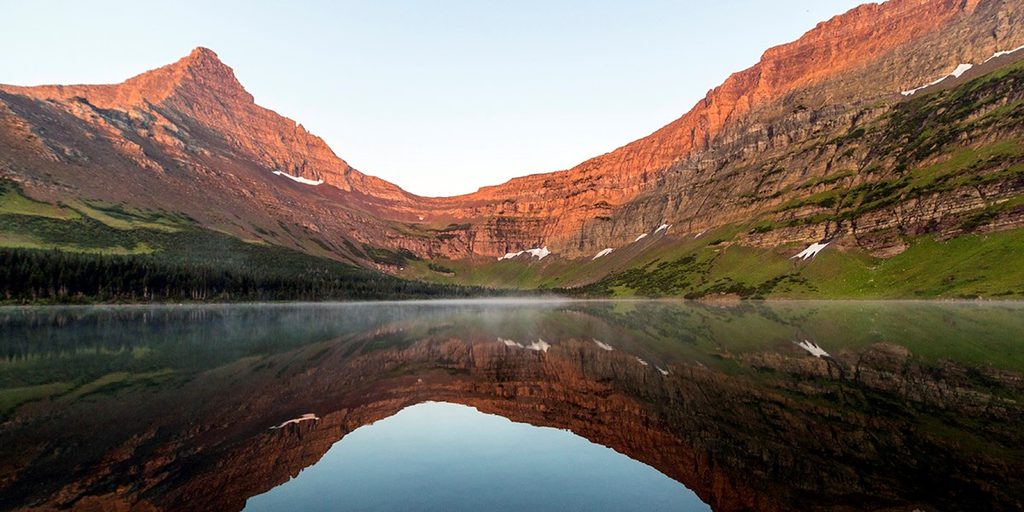
Place · 4.9 mi away
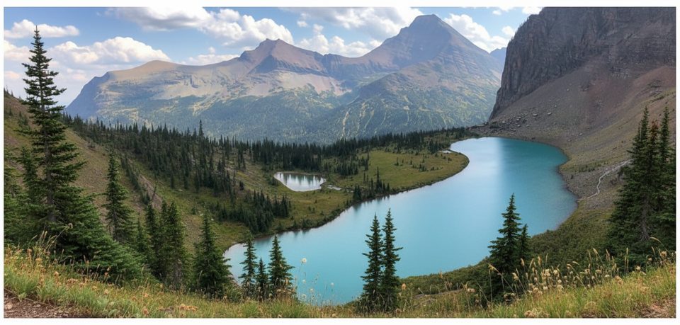
Moderate · 6.4 mi away
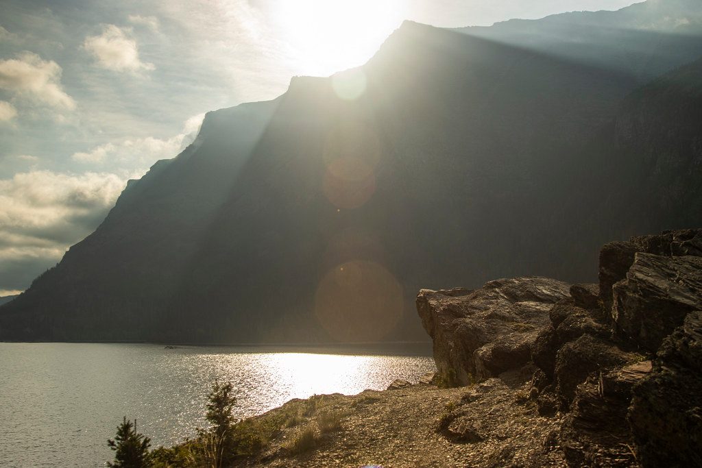
Easy · 7.7 mi away
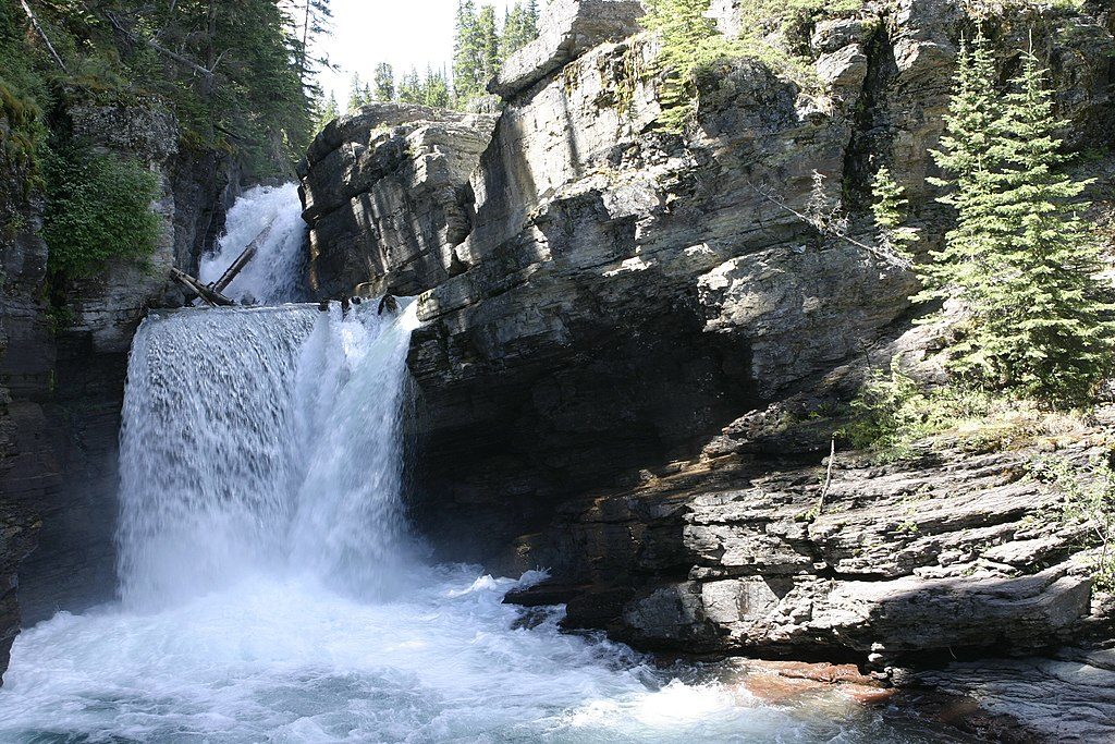
Easy · 8.1 mi away
Moderate · 8.2 mi away

Parkwolf Tour Guide
