
Place · 0.5 mi away
Moderate
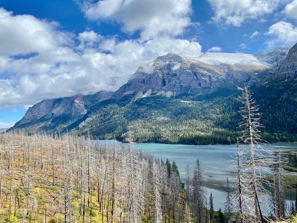
This is the south‑shore path that strings together two of the park’s crowd‑pleasers (St. Mary Falls and Virginia Falls) before slipping beyond the masses to wide‑open views over Saint Mary Lake. The classic outing is 7.2 miles round trip, moderate, from the St. Mary Falls Trailhead to a rock outcrop overlook and back. If you only want the waterfalls, turn around at Virginia Falls for a 3.6‑mile round trip. Hardcore hikers can keep going along the lakeshore toward Red Eagle Lake for a very long day (the full out‑and‑back to Red Eagle Lake is about 20.5 miles).
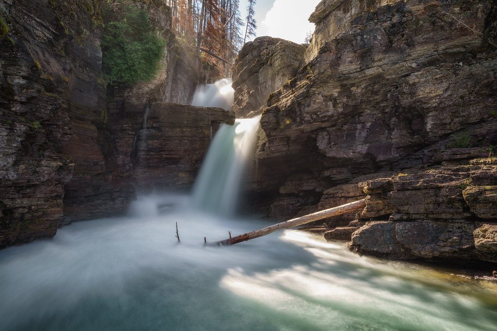
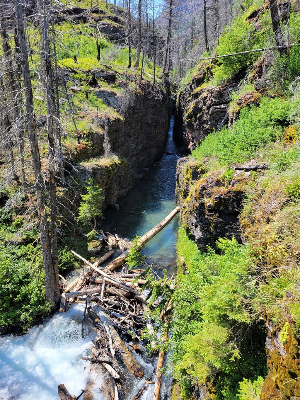
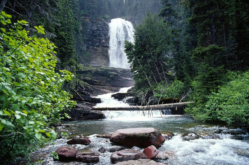
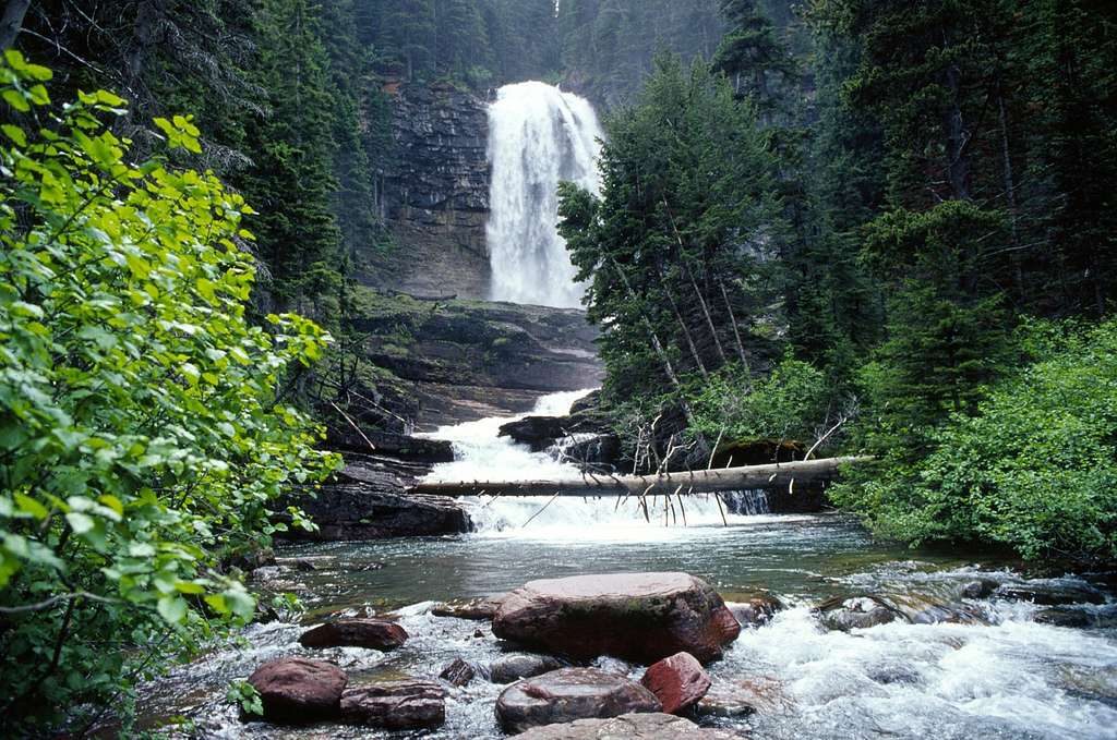
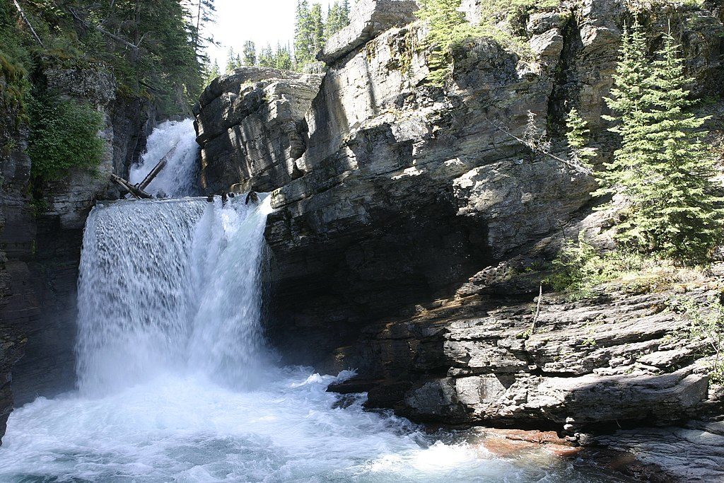
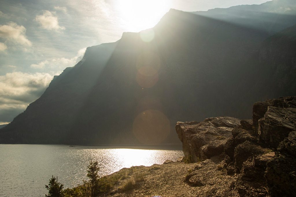
From the St. Mary Falls Trailhead, you’ll descend gently through the 2015 Reynolds Creek burn—translation: fewer trees, bigger mountain-and-lake panoramas. St. Mary Falls comes up first (about a mile in), then Virginia Falls another 0.6 miles up‑canyon with cool mist and slick rock near the spray. Past Virginia, the trail quiets down, weaving by unnamed cascades and brushy sections to a rock outcrop with sweeping views of Saint Mary Lake. On clear days, look for Going‑to‑the‑Sun Mountain, Matahpi Peak, and Goat Mountain across the water.
Grade is friendly overall, with the return trending uphill. Footing is straightforward, but rocks and boardwalks near the waterfalls can be slick. Expect sun exposure due to the burn and occasional muddy patches. Beyond Virginia Falls, sections can be overgrown and brushy. If you push all the way to Red Eagle Lake, it’s a long, brushy, moderate‑hard day by distance.
This corridor is great for summer wildflowers like fleabane, yellow columbine, geranium, and asters. Watch the streams for American dippers. Deer are common, and both black bears and grizzlies range here—carry bear spray and know how to use it.
Late June through September, with the most stable footing and lower creek levels later in summer. Mornings beat the parking rush and midday heat; evenings bring softer light and thinner crowds past Virginia Falls. If you’re tempted by a swim or cliff jump at St. Mary Falls, conditions are safest in late summer when runoff is low, but swift water always demands caution. A separate cliff‑jumping spot near Virginia Creek is not recommended.
Parking at the St. Mary Falls Trailhead is limited—go early or ride the park shuttle to the St. Mary Falls stop. There’s also signed parking a short walk from the shuttle stop. Expect crowds to Virginia Falls and relative solitude beyond. Bathrooms are available along this corridor, but facilities are otherwise limited once you leave the falls area. In peak summer, vehicle reservations may be required for parts of the park; check current rules. No trail‑specific permit is needed for day hikes; backcountry camping at Red Eagle Lake requires a permit.
Park at the St. Mary Falls Trailhead along Going-to-the-Sun Road; spaces fill early. If full, use the park shuttle from St. Mary Visitor Center to the St. Mary Falls stop. There’s a signed lot near the shuttle stop; bathrooms are available.
Slick rocks and strong currents near the waterfalls; avoid cliff jumping during high runoff and use extreme caution even late season. Expect sun exposure from burn areas, brushy sections beyond Virginia Falls, possible mud, and active bear habitat—carry bear spray.
Place · 0.5 mi away
Place · 0.7 mi away
Place · 0.7 mi away
Place · 1 mi away
Easy · 0 mi away
Easy · 0.2 mi away
Easy · 0.7 mi away
Easy · 1.3 mi away

Parkwolf Tour Guide
