
Place · 0.5 mi away
Easy
This is Glacier’s crowd‑pleasing waterfall walk: an easy to moderate out‑and‑back that strings together St. Mary Falls and Virginia Falls with constant water, views, and photo ops. Expect roughly 3.1–3.8 miles total (round trip) depending on where you start, with about 450 feet of total gain. It trends downhill to the falls and climbs gently on the way back.
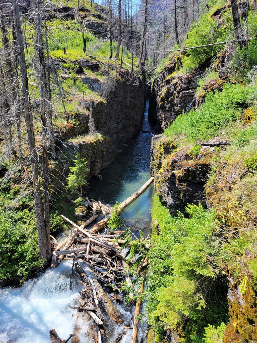
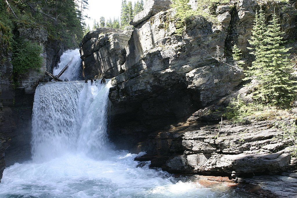
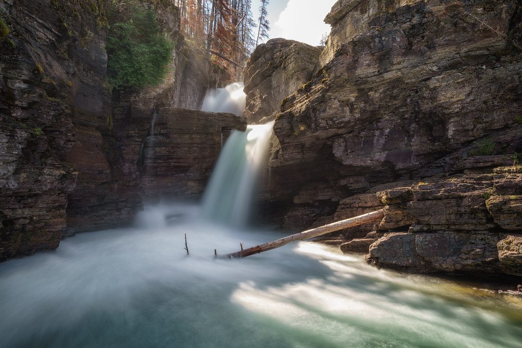
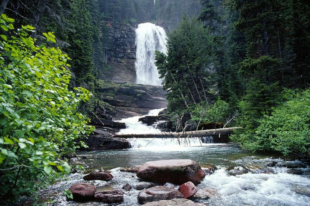
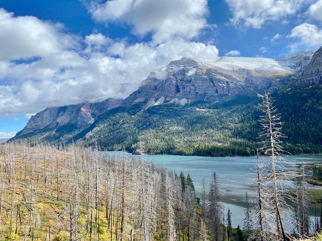
You’ll hit St. Mary Falls first (less than a mile from the trailhead), a multi‑tiered turquoise cascade with a footbridge spanning the river. From there, continue about 0.6 miles to Virginia Falls—a taller, thundering drop with several great vantage points and smaller cascades along Virginia Creek between the two. The trail passes through a burn scar from 2015, which means less shade but bigger lake and mountain views.
Surfaces are well‑used and straightforward, with a few short ups and downs. Because much of the approach is downhill, budget a touch more effort for the return. Sections are exposed—bring water and sun protection. Wildlife sightings happen; moose are occasionally reported, and this is grizzly country—give animals space and be prepared.
Summer (July–August) is prime: the Going‑to‑the‑Sun Road is typically open, shuttles usually operate by early July, and waterfalls run strong with snowmelt. Go early morning or late afternoon to dodge the heaviest crowds and catch softer light at the falls.
Start from the St. Mary Falls Trailhead lot on the east side of Going‑to‑the‑Sun Road, or hop off at the St. Mary Falls shuttle stop for a slightly shorter approach. Parking is limited and fills quickly; the shuttle is the stress‑free move in peak season. No special day‑hiking permit is required, but seasonal vehicle reservations are often in play on this corridor—check current rules before you go.
The water is swift, cold, and deceptively powerful—do not jump from rocks or bridges, and stay well back from edges, especially early summer when flows are high. Heat and sun exposure sneak up on this route; carry more water than you think you need. This is bear country—make noise, keep groups tight, carry bear spray, and know how to use it.
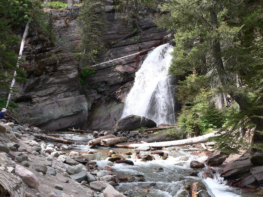
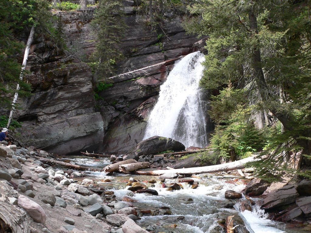
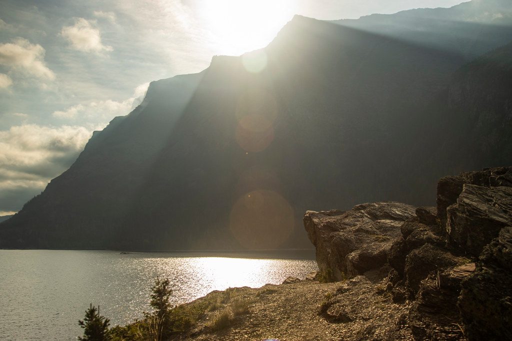
If you want more without much complexity, link in Baring Falls from Sun Point for a longer, scenic lakeside outing. Expect more sun exposure but excellent St. Mary Lake views as you stitch together Baring → St. Mary → Virginia and back.
Small lot at St. Mary Falls Trailhead on Going‑to‑the‑Sun Road; arrive early. If full, try the nearby pull‑off or the Siyeh Pass/Baring Falls lot and walk connectors. Shuttle stop at St. Mary Falls is the best backup.
Swift, cold water and slick rock—no cliff jumping or wading near the falls. Sun exposure and heat. Active bear country—carry spray and give wildlife space. Seasonal vehicle reservations may apply on Going‑to‑the‑Sun Road.
Place · 0.5 mi away
Place · 0.5 mi away
Place · 0.7 mi away
Place · 1.1 mi away
Moderate · 0.2 mi away
Easy · 0.5 mi away
Easy · 1.1 mi away
Challenging · 2.2 mi away

Parkwolf Tour Guide
