
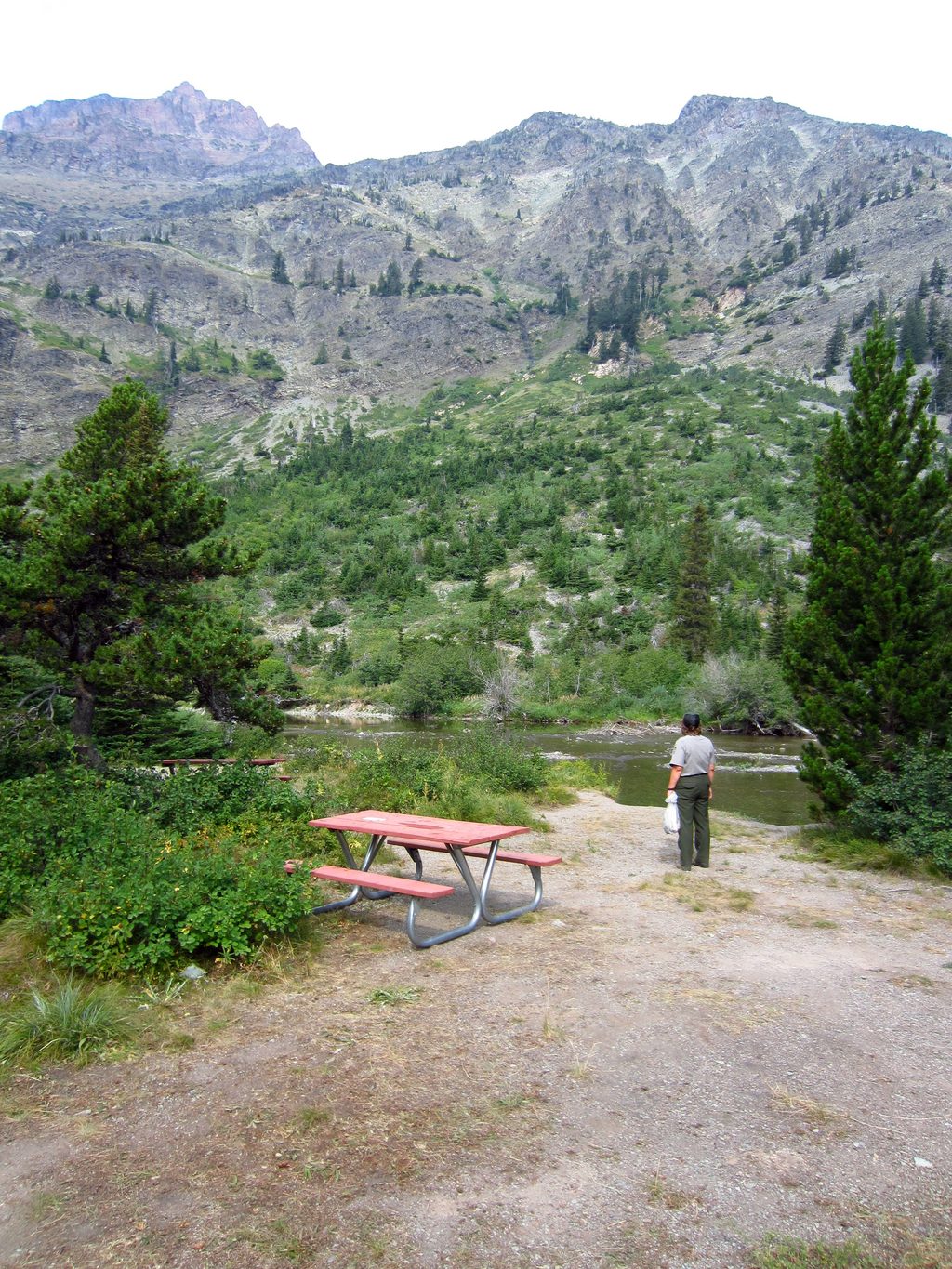
Place · 0.1 mi away
Moderate
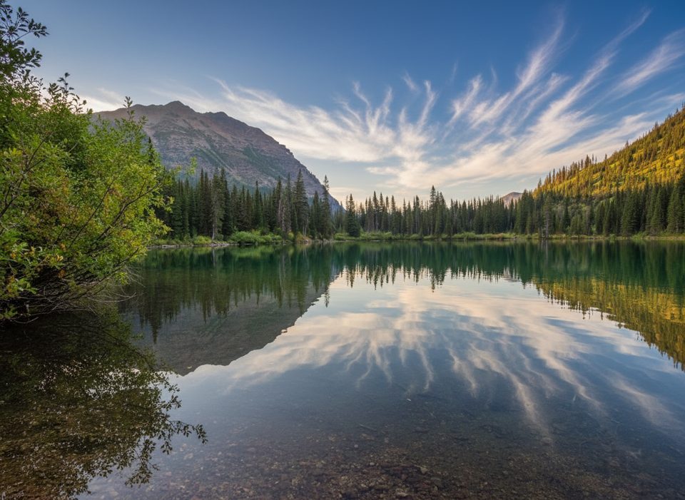
This is a mellow-to-moderate alpine outing to a tranquil, aqua-green lake tucked beneath Pumpelly Pillar and Mount Helen in the Two Medicine area. From the North Shore Trailhead, it’s an out-and-back of about 9.7 miles total with roughly 1,300 feet of gain. The payoff is a quiet basin, a small pebbly beach that begs for a quick dip, and big Two Medicine views along the approach. It’s less of a circus than many park headliners—still popular, but usually calmer.
August is the sweet spot for clear trails and dry feet in this high country. Early season (May–June) can bring mud, lingering snow at higher elevations, and fast, cold water at unbridged crossings; even in July, snow patches can linger where an ice axe or traction may be prudent. Autumn is gorgeous but comes with heightened bear activity as days shorten. Winter travel isn’t recommended. Start early for cooler temps, calmer winds, easier parking, and to sidestep any boat-return bottlenecks.
The approach frames the sheer walls of Pumpelly Pillar, opening to a cirque lake that often glows turquoise-green early season. Moose favor the marshy sections and boardwalk approach near the boat dock, and mountain goats sometimes cool off on snow patches high above. This is prime bear country, and huckleberry stretches along the Dawson Pass Trail make it especially so. Geology-minded hikers can read the landscape’s long story—ancient Belt Supergroup sediments (“silt”), later mountain-building (“tilt”), the Lewis thrust faulting that shoved older rocks over younger (“slide”), and the Ice Age carving of cirques and U-shaped valleys (“glide”).
Bottom line: A rewarding, lower-key Two Medicine classic. The boat option makes it approachable for most hikers; the full walk adds workout and views without big crowds.
Park at the North Shore Trailhead/Two Medicine Campground or by the Two Medicine boat dock (approx. 48.48381, -113.36954).
Prime bear country—carry spray and make noise. Early/shoulder season may bring lingering snow on steep slopes and swift, cold water at unbridged crossings. Cell service is unreliable; download maps. If using the boat, plan around limited return times.
Place · 0.1 mi away
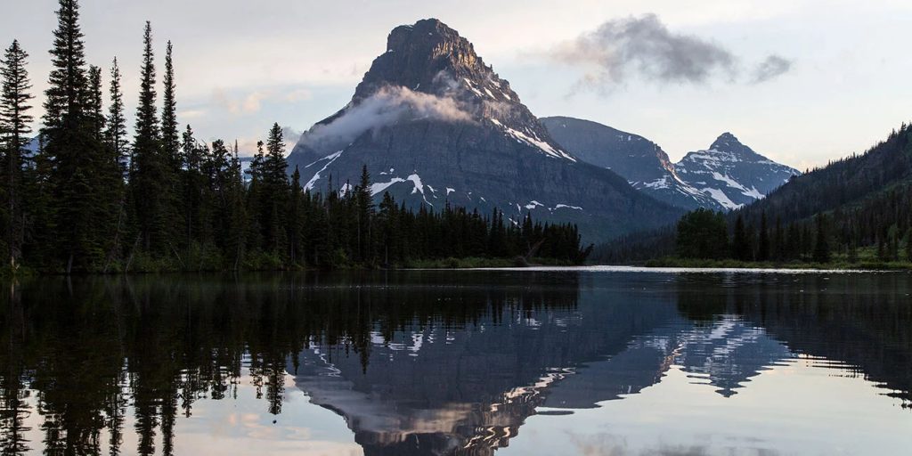
Place · 0.1 mi away
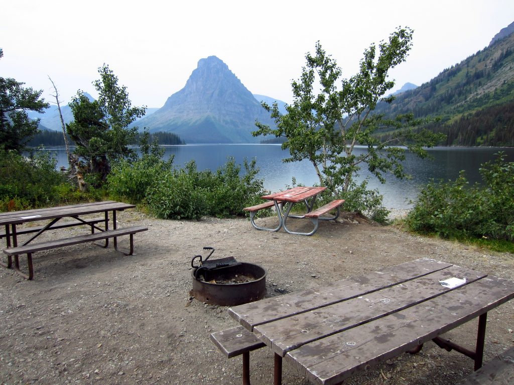
Place · 0.4 mi away
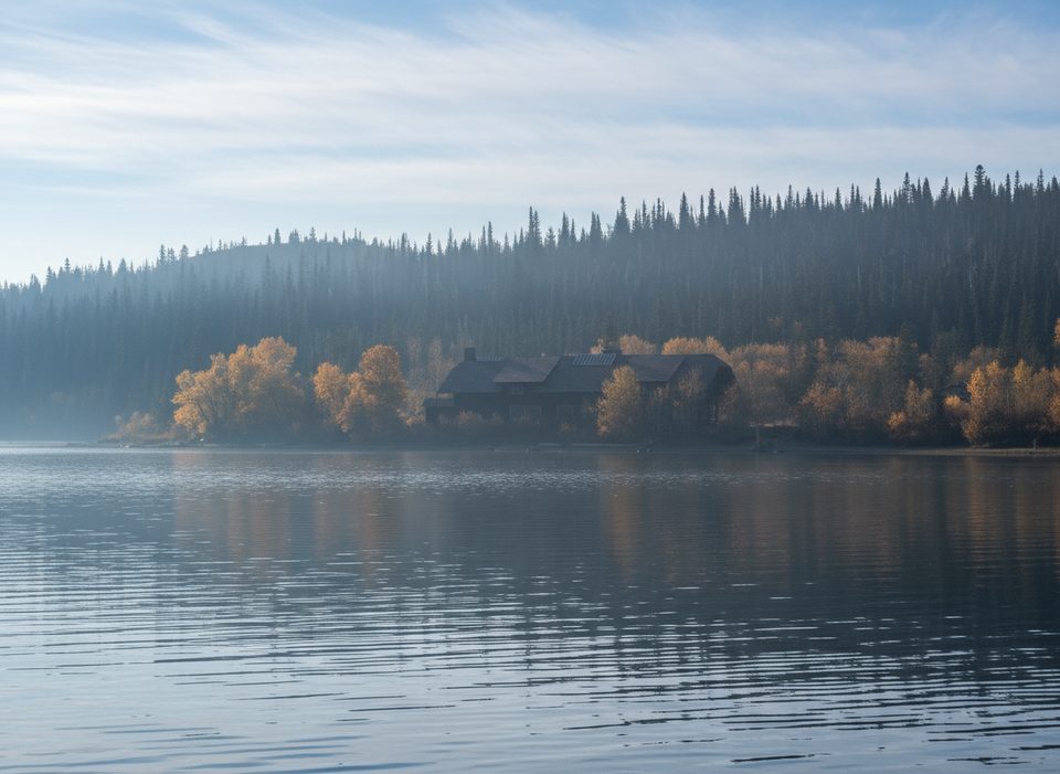
Place · 0.4 mi away
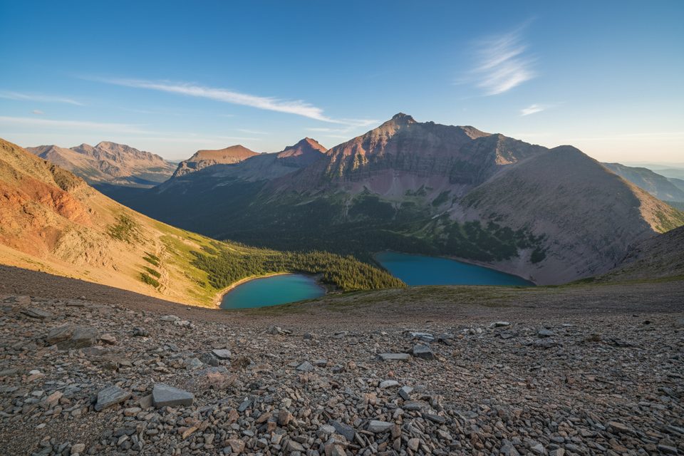
Challenging · 0 mi away
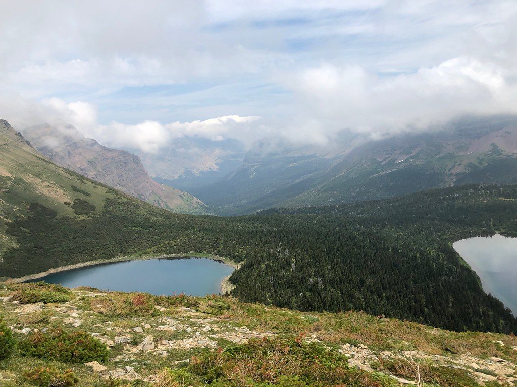
Challenging · 0 mi away
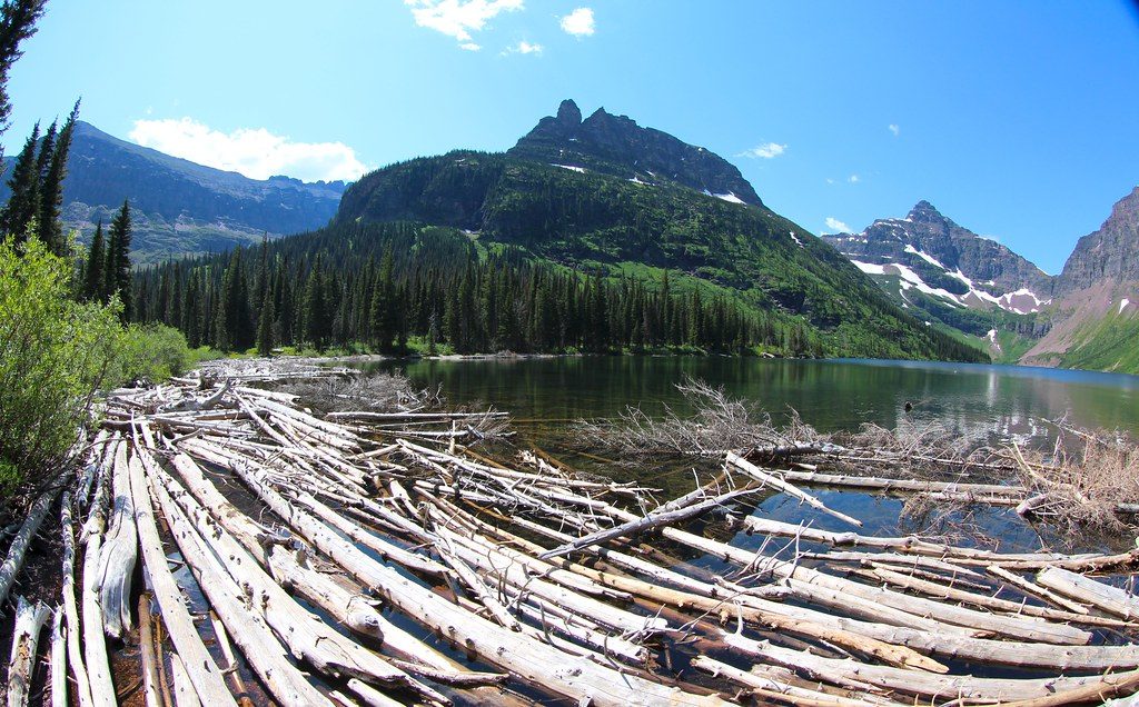
Moderate · 0.6 mi away
Moderate · 0.6 mi away

Parkwolf Tour Guide
