Parking
North Shore Trailhead at Two Medicine Campground. The boat dock on the opposite shore is a separate stop.
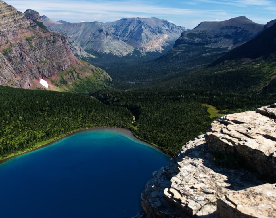
#8 of 157 trails in Glacier
Glacier National Park, MT
Two alpine passes and a narrow ridge make this a full day.
Overview
Map & elevation
Plan your hike

The highest, rockiest slopes around here are a summer buffet for grizzly bears.
Glacier Tour Guide
Parkwolf is a GPS audio tour guide for Glacier National Park. As you drive, it chimes in with what’s ahead: hidden gems, upcoming stops, history, geology, and wildlife, right through your car’s speakers.
See the Glacier audio tourRecorded for this trailhead
Two Medicine North Shore and Twin Falls“You're nearing Two Medicine's North Shore Trailhead, where Twin Falls makes a gentle but fairly long waterfall walk. Allow about four hours for seven miles round trip to the two cascades below Pumpelly Pillar.”
Plays as you drive up to this trailhead in the Parkwolf Glacier Tour Guide.
More stories near here in the app
“Our first time to glacier and we used the audio portion for Going to the Sun Road. Wonderful information with perfect advice of what to see and do along the road.”


Trail guide
The Dawson–Pitamakan Pass Loop is a 17.4-mile circuit from North Shore Trailhead in Glacier’s Two Medicine district. It climbs past Old Man Lake to Pitamakan Pass, follows the high ridge to Dawson Pass, drops by No Name Lake, then returns along the north shore of Two Medicine Lake. Plan on around 10 hours with stops. This is a hard, full-day route for strong hikers; the two-pass traverse is the draw, and also the reason not to treat it as a casual long walk. The distance here follows the complete on-foot circuit and does not depend on a boat ride.
At the first junction, follow the Old Man Lake and Pitamakan Pass branch for a counterclockwise loop. The approach climbs through forest and open avalanche chutes before reaching Old Man Lake. Its pale, silvered trees make the shoreline feel enclosed, with a few places to stop for lunch. Beyond the lake, long switchbacks climb a steep open slope to Pitamakan Pass. The pass looks down toward Old Man Lake on one side and Pitamakan Lake and smaller alpine lakes on the other. The one-way approach to Pitamakan Pass is 7.6 miles, so turning back there avoids the high ridge traverse but still makes a substantial 15.2-mile return.
Continue to Pitamakan Overlook and then toward Dawson Pass. The trail crosses a narrow, exposed ridge and the saddle between Mount Morgan and Flinsch Peak. This is the route’s signature stretch: views open toward the wooded Nyack valleys and hanging lakes of Martha’s Basin, then back across Old Man Lake and toward Rising Wolf. Strong winds are common near Pitamakan Overlook. The footing and exposure deserve your attention, and hikers who feel unsteady around heights should turn back before continuing across the ridge.
After Dawson Pass, the route drops into the Two Medicine drainage. No Name Lake sits beneath cliffs at Pumpelly Pillar and Mount Helen; mountain goats are sometimes seen on those cliffs, though sightings are never guaranteed. Bighorn sheep are also reported around Mount Morgan. Take a proper break where the trail allows it, because the route still has a long lakeshore return after the high country.
The final miles follow the shore of Two Medicine Lake back to North Shore Trailhead. They are mostly level, but they can feel long after the climbing and exposed ridge. A seasonal concession boat near the south-shore dock can shorten part of the lake walk when it is operating; it changes the route and distance, so the 17.4 miles here assumes you walk the full circuit. Check current service details only if you plan to rely on the boat.
From North Shore, the separate one-way climbs gain about 2,450 feet to Dawson Pass and 2,400 feet to Pitamakan Pass. The circuit links those passes, descends, and climbs again. The distance, repeated climbing, and exposure make this a hard hike. The two pass-climb figures are separate one-way outings, not the loop’s combined elevation gain. High-country snow can linger into early summer and return in fall, so the passes have a shorter reliable season than the lakeshore. Pets are not allowed on park trails.
Keep alert in bear country, especially around Old Man Lake, and follow the park’s food and wildlife rules. The alpine slopes can also bring bighorn sheep near Mount Morgan and mountain goats on cliffs above No Name Lake. A stromatolite fossil has been photographed among the rocks at Pitamakan Pass; it is an easy detail to miss when the skyline is pulling your eyes farther out.
Wildlife
 404 sightingsGrizzly BearMost seen around 6 AMSighting map
 11 sightingsWolverineMost seen around 8 PMSighting map
 1,173 sightingsMountain GoatMost seen around 6 AMSighting map
 1,000 sightingsBighorn SheepMost seen around 6 AMSighting map
 395 sightingsMooseMost seen around 6 AMSighting map
 506 sightingsBlack BearMost seen around 8 PMSighting map
Sighting maps show where each species has been reported across Glacier. Wildlife moves, so no sighting is guaranteed.
Keep exploring
 ChallengingDawson Pass Trail13 mi · 8 hr · At the trailheadA steep climb above No Name Lake ends at the Divide.
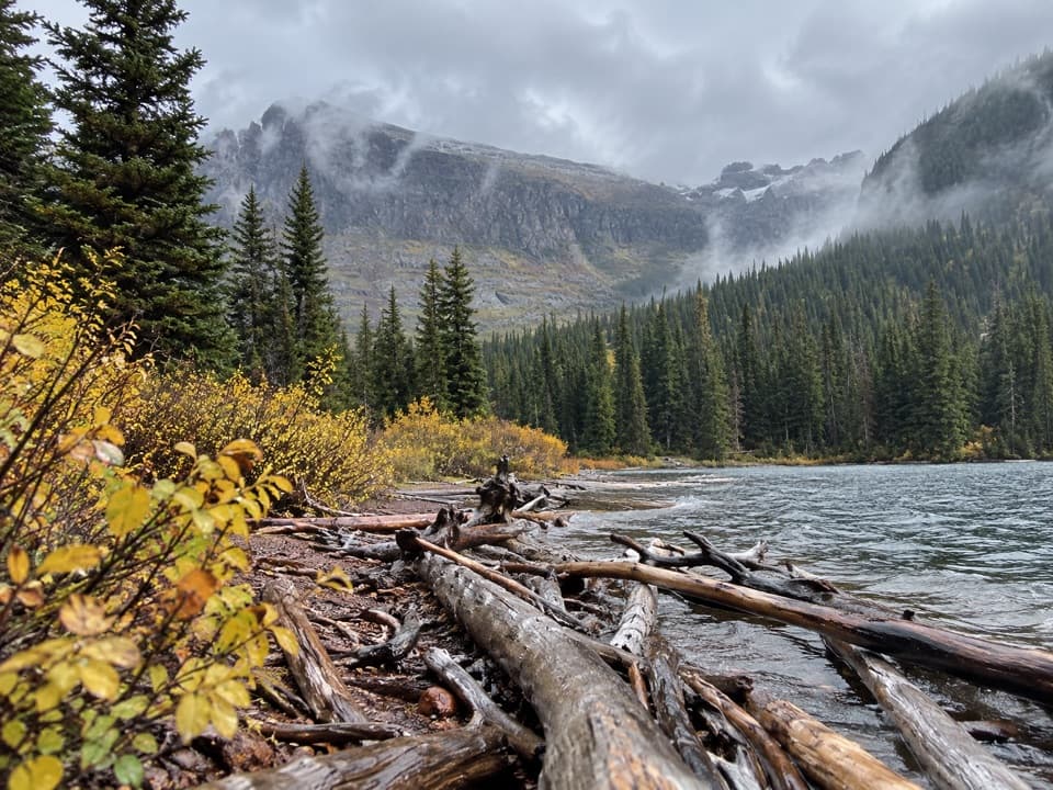 ModerateUpper Two Medicine Lake Trail10 mi · 5.5 hr · At the trailheadA long, mostly gentle walk to a lake beneath steep valley walls.
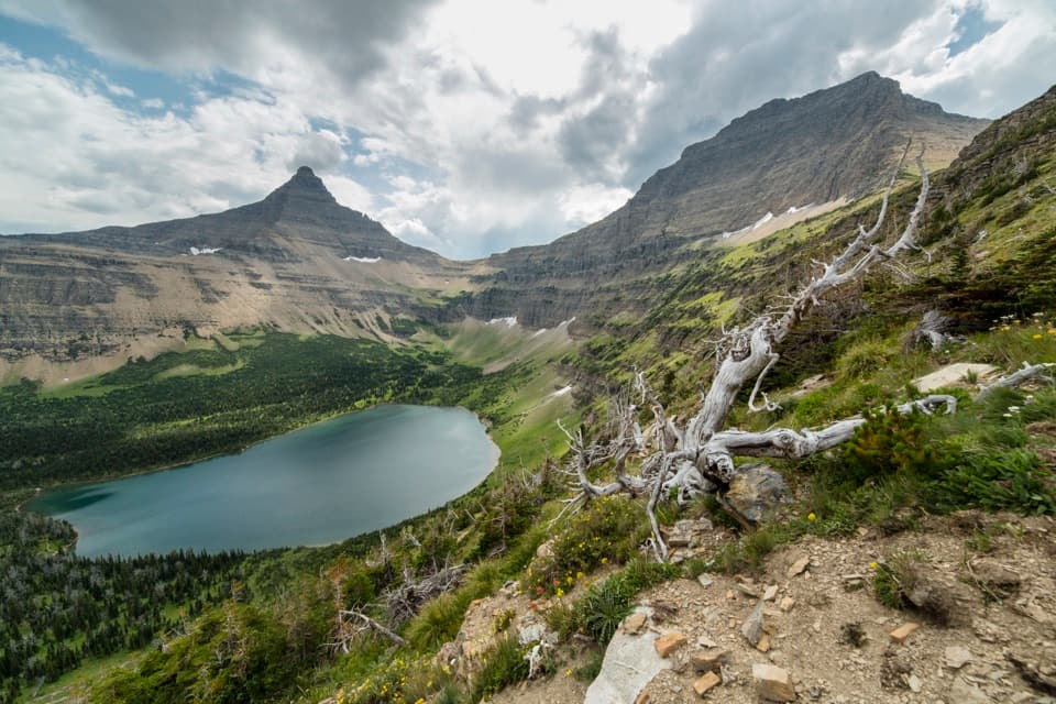 ChallengingPitamakan Pass Trail15.2 mi · 8 hr · At the trailheadOldman Lake, then nearly 1,000 feet of switchbacks to the pass.
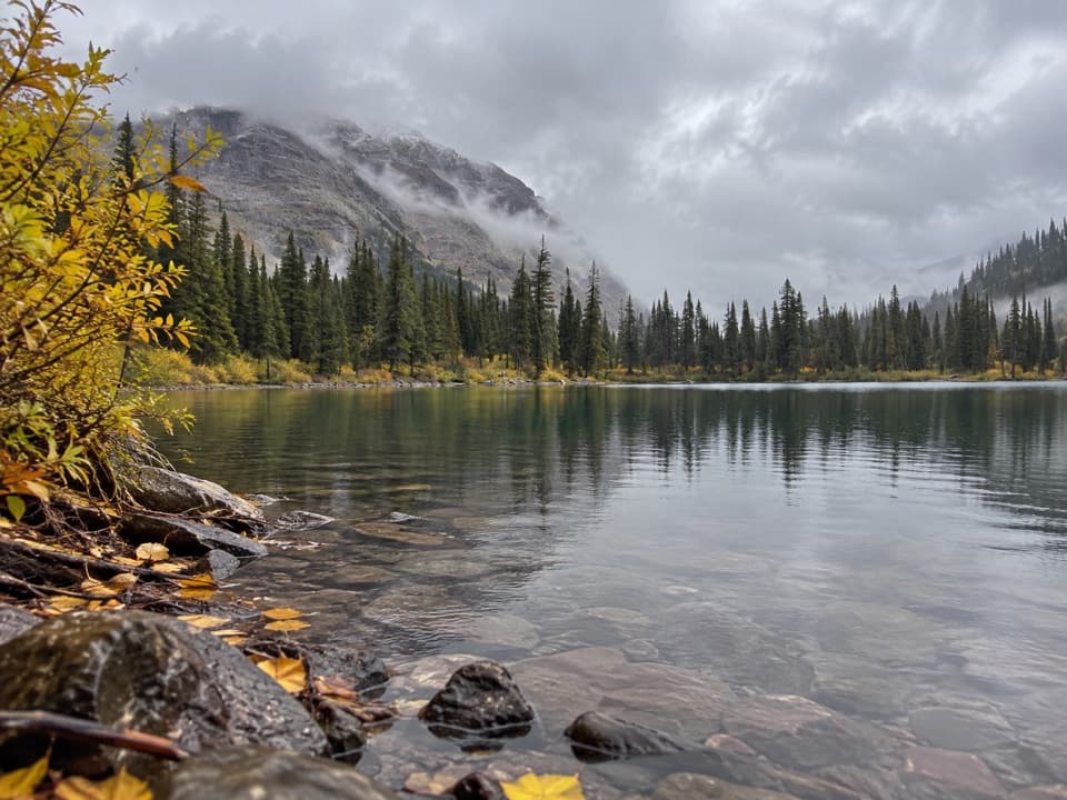 ModerateNo Name Lake Trail9.8 mi · 5.5 hr · At the trailheadA long return hike to a small lake below Pumpelly Pillar.
 ChallengingOldman Lake Trail12.8 mi · 7 hr · At the trailheadA long valley walk ends at a lake beneath Mount Morgan.
 EasyTwin Falls Trail7 mi · 4 hr · 0.1 mi awayTwo cascades, with a boat shortcut for a quicker approach.
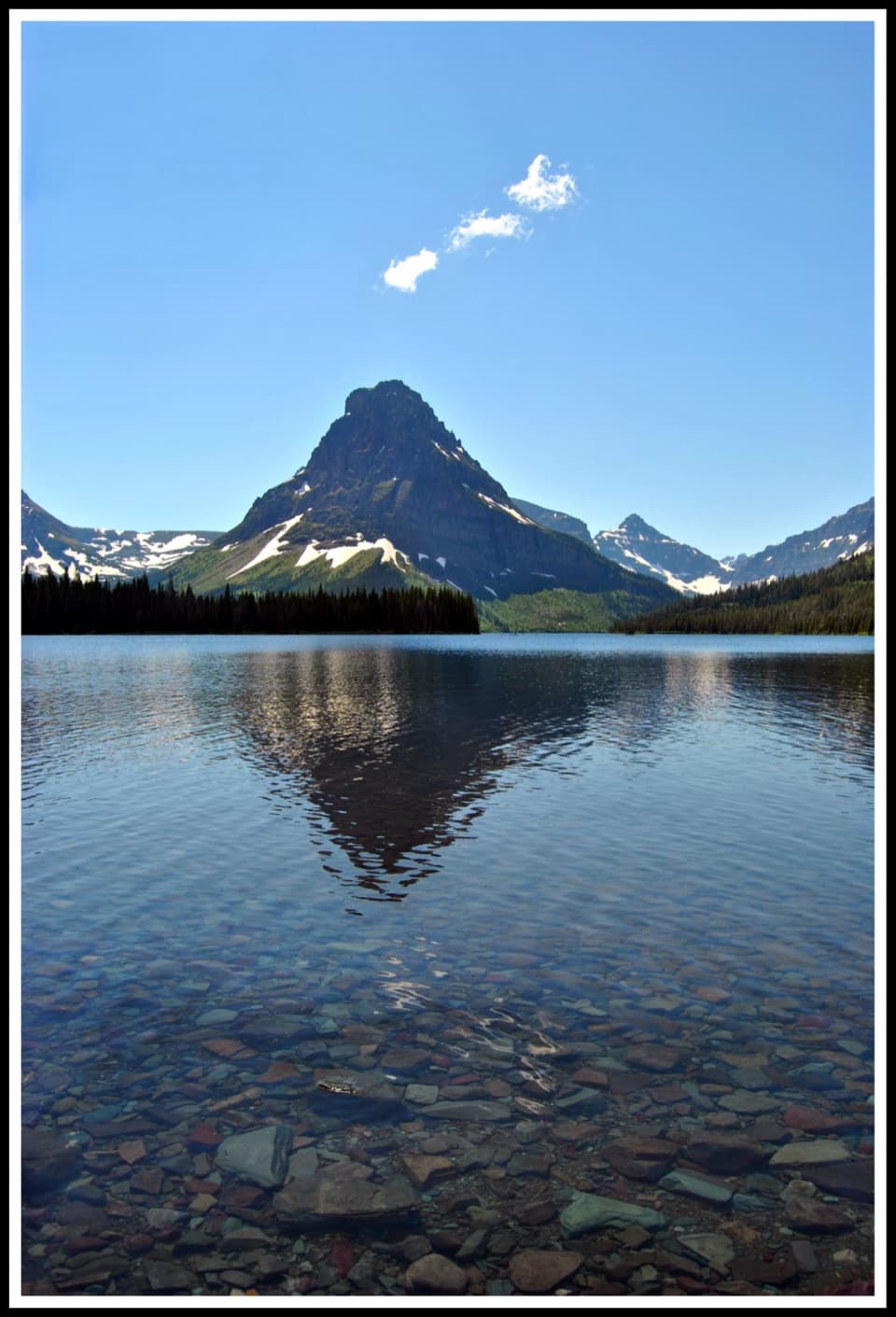 ModerateTwo Medicine Lake Loop8 mi · 4.5 hr · 0.1 mi awayOpen water and avalanche chutes frame this Two Medicine shoreline loop.
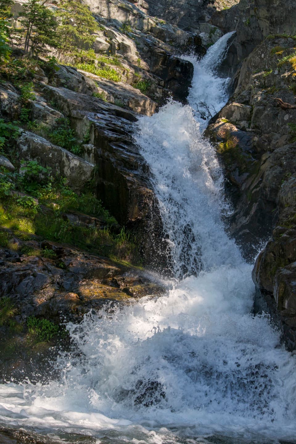 EasyAppistoki Falls Trail1.2 mi · 1 hr · 0.5 mi awayA quick falls walk, with most of the gorge view screened.
 Campground · 0.4 mi awayTwo Medicine CampgroundA shady lakeside base with hikes starting from camp.
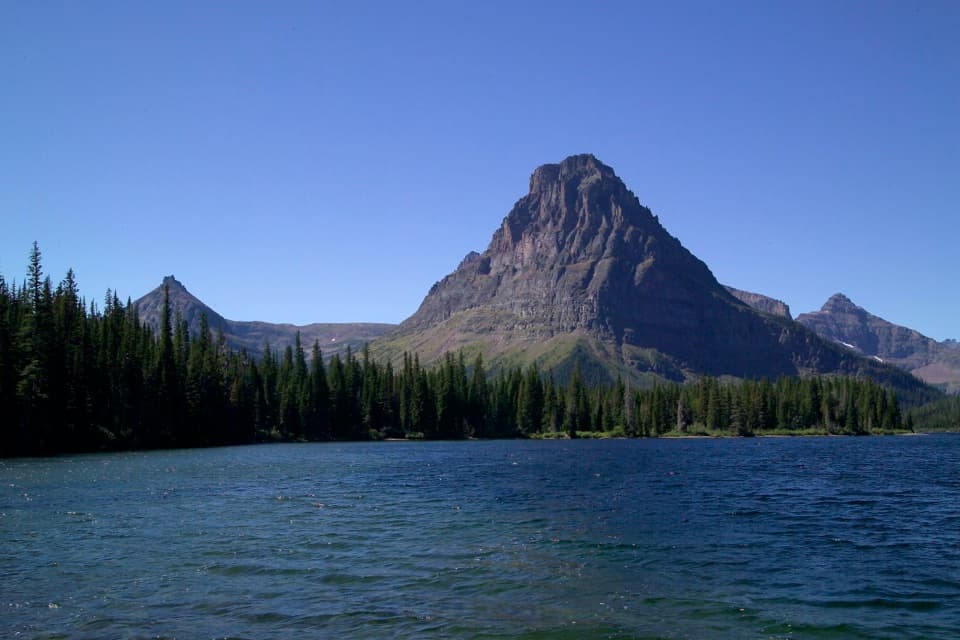 Sight · 0.5 mi awayTwo Medicine LakeA boat ride adds a fresh angle on Sinopah Mountain.
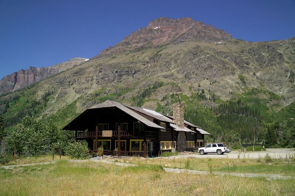 Store · 0.5 mi awayTwo Medicine CampstorePick up supplies in a historic chalet hall beside the lake.
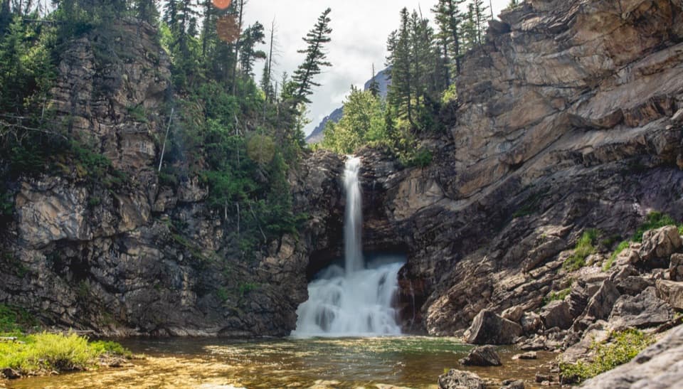 Sight · 0.8 mi awayRunning Eagle FallsSeasonal flow changes which tier of the falls shows.
 Beach · 0.8 mi awayParadise PointA short walk to a small beach with striking Two Medicine views.Sight · 0.9 mi awayAppistoki FallsA short waterfall walk with a partly screened view.
 Sight · 1.5 mi awayAster FallsA forest walk to a 20-foot cascade in three drops.
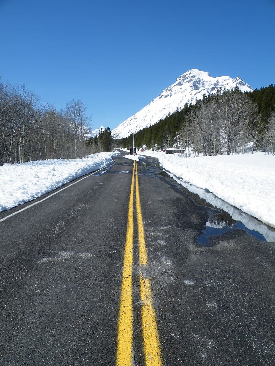 Entrance station · 1.9 mi awayTwo Medicine Entrance StationA separate entrance for Two Medicine's lake and trail area.
Parkwolf’s Glacier ranking

The audio tour guide for the drive, plus offline maps, trails, and wildlife heatmaps for when the signal drops.





