

Place · 3.2 mi away
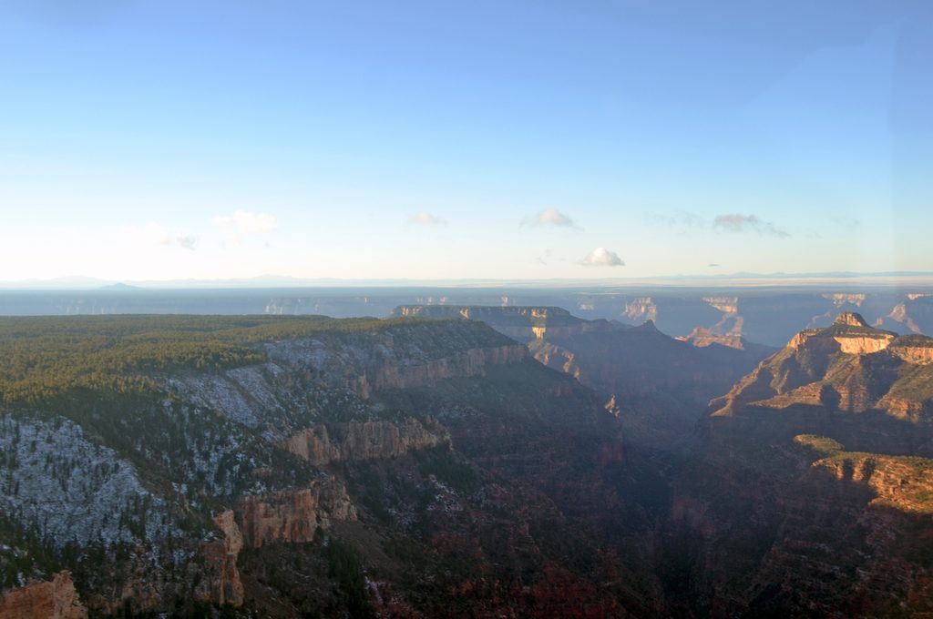
Tiyo Point is a remote North Rim overlook prized for solitude and a forested, shady approach—very different from the busy, drive-up viewpoints. It’s the sort of place you hike for the quiet and the sense of space, then linger for big canyon vistas.
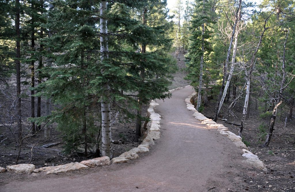
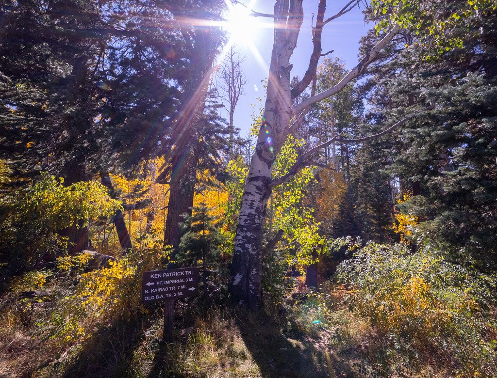
Plan on a 12.4–12.6 mile round-trip trek on old forest roads and singletrack through aspen and ponderosa pine. The grade is generally gentle and often described as easy to moderate, but the distance and a noticeable uphill on the way back make it a solid day. The path can be faint in spots—bring a map or GPS.
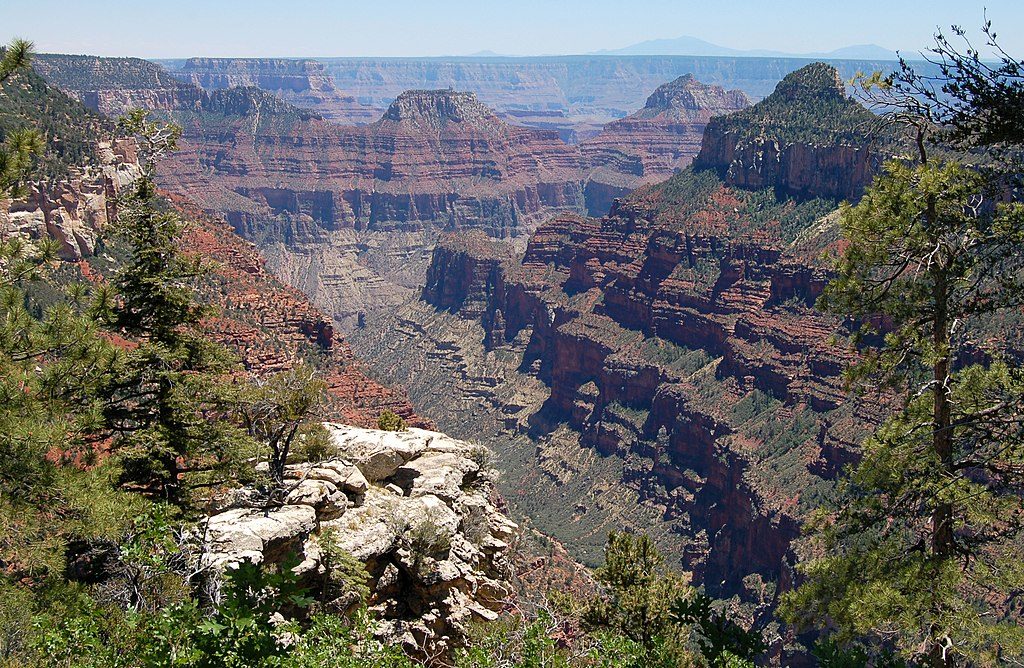
From the rim, you’ll look into the canyon with distinctive views of the Isis and Osiris Temples rising from within. The official overlook can be partially screened by trees; a short side path nearby opens up broader panoramas. Just before the point there’s a peaceful picnic spot that makes a great break before or after you soak in the views.
The quiet, wooded approach is good for spotting deer, rabbits, and wild turkeys. Keep your eyes up and your pace unhurried; the forest here feels a world away from the park’s crowded viewpoints.
There are no facilities—no restrooms, no water, no food—so carry everything you need and pack out all waste. Start early, dress in layers (North Rim weather swings are real), and bring ample water and snacks. Day hiking does not require a permit, but any overnight use in this backcountry area requires a backcountry permit per park rules.
Mid-May through mid-October is the sweet spot; snow or mud can limit access outside this window. Crowds are typically minimal any day of the week. Because it’s a long outing, begin early to give yourself plenty of daylight for hiking and lingering at the rim.
Place · 3.2 mi away
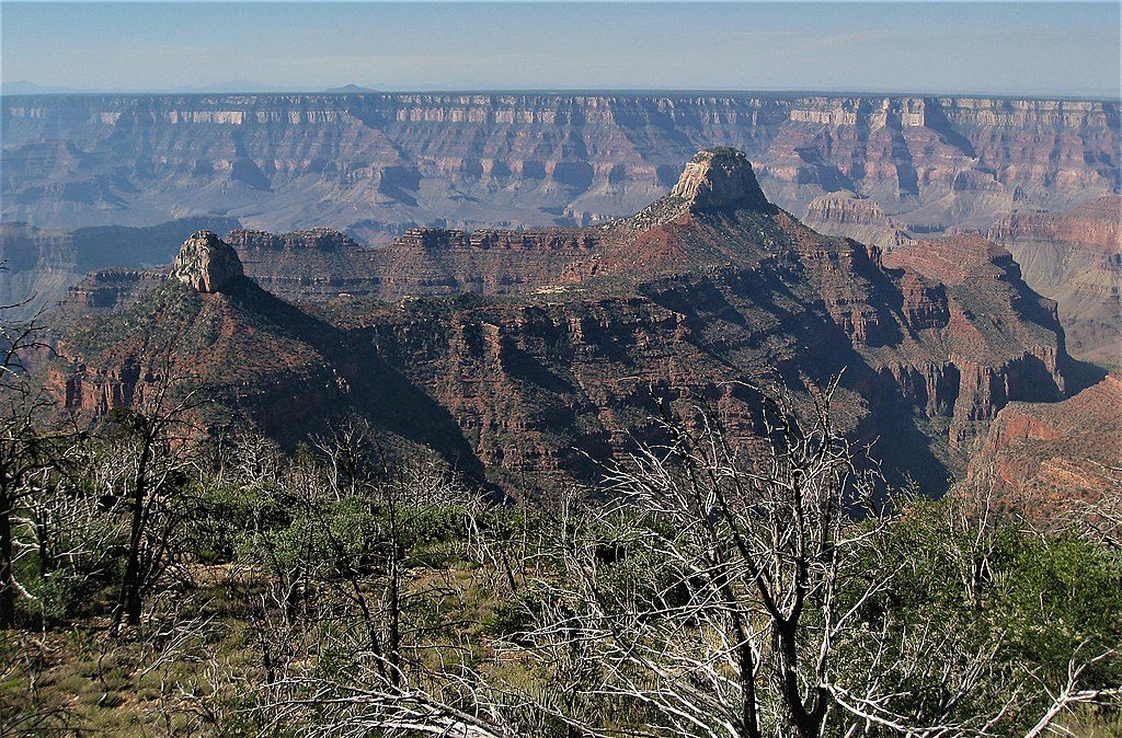
Place · 3.4 mi away
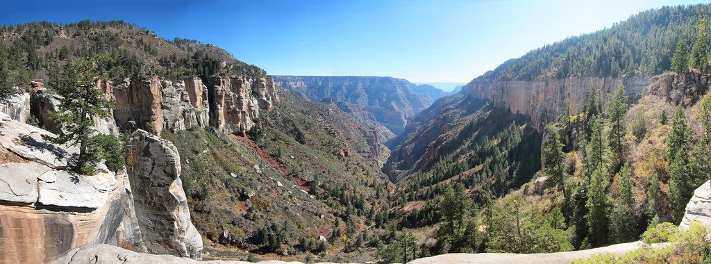
Place · 3.6 mi away
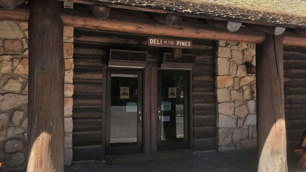
Place · 3.9 mi away
Moderate · 2.9 mi away
Moderate · 2.9 mi away
Easy · 3.4 mi away
Challenging · 3.4 mi away

Parkwolf Tour Guide
