Parking
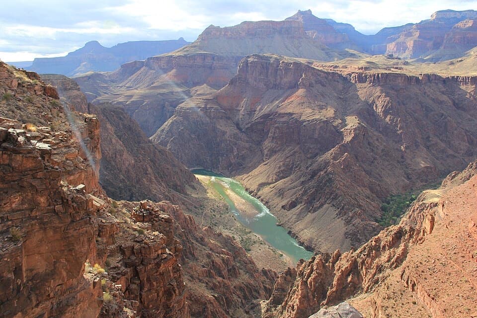
Start at the Point Imperial parking area off the North Rim scenic road; the west end is the North Kaibab Trail parking area. Arrange a second car or pickup before starting. North Rim access is seasonal.

Grand Canyon National Park, AZ
Forest miles and big canyon views along the North Rim.
Overview
Map & elevation
Plan your hike

The highest, rockiest slopes around here are a summer buffet for grizzly bears.
Grand Canyon Tour Guide
Parkwolf is a GPS audio tour guide for Grand Canyon National Park. As you drive, it chimes in with what’s ahead: hidden gems, upcoming stops, history, geology, and wildlife, right through your car’s speakers.
See the Grand Canyon audio tourRecorded for this trailhead
Point Imperial’s Eastern Panorama“Point Imperial is ahead, with a short walk from parking to the highest overlook on the canyon rim. At about eight thousand eight hundred feet, it opens across the Painted Desert and the eastern canyon.”
Plays as you drive up to this trailhead in the Parkwolf Grand Canyon Tour Guide.
More stories near here in the app
“Fantastic app with many points of information… It’s great to just turn on while you’re driving and it gives you an audio tour of the national Park. We love it!!!!”


Trail guide
Ken Patrick Trail is a 9.8-mile point-to-point walk across the North Rim between Point Imperial and the North Kaibab Trail parking area. It moves between high-elevation forest and open rim stretches with broad canyon views. Allow about six hours for the crossing, and arrange a pickup or a second car at the far end; walking back the same way makes a 19.6-mile day.
The first 3 miles head south along the canyon rim, dip into forest, then return to the edge. The ground rises and falls. Some parts are narrow, uneven, and loose enough to make foot placement matter, and the rim setting leaves you exposed to sun, wind, and cold. Be comfortable near heights and wear sturdy footwear. The section ends at steps up to Cape Royal Road. Turn around there for a 6-mile out-and-back, or arrange a ride if you want to walk only the eastern stretch.
From Cape Royal Road, the trail continues west for another 6.8 miles to the North Kaibab Trail parking area. The full route is an unmaintained trail through forest and along the rim; canyon openings break up the wooded miles. It is a full-day crossing at around 8,000 feet, where the altitude can add to the effort. It is a long walk between two trailheads, not a quick viewpoint stroll.
The trail honors Ken Patrick, a Grand Canyon-area-raised hiker and park ranger. He worked at Grand Canyon and other national parks, and was killed on duty at Point Reyes in 1973. He was buried in Grand Canyon Pioneer Cemetery. The trail carries the name of a ranger whose life and work were closely tied to the parks.
Start at the Point Imperial parking area and finish at North Kaibab Trail parking. There is no loop back to the first lot, so settle the ride before setting out. Carry food and water for the crossing; no reliable resupply along the route is confirmed. Pets are not allowed.
Wildlife
 718 sightingsCalifornia CondorMost seen around 5 PMSighting map
 533 sightingsBighorn SheepMost seen around 7 AMSighting map
 169 sightingsAmerican BisonMost seen around 7 PMSighting map
 1,891 sightingsElkMost seen around 6 AMSighting map
 59 sightingsCoyoteMost seen around 6 PMSighting map
 27 sightingsGray FoxMost seen around 6 AMSighting map
Sighting maps show where each species has been reported across Grand Canyon. Wildlife moves, so no sighting is guaranteed.
Keep exploring
 ModeratePoint Imperial Trail5.2 mi · 2.8 hr · 0.1 mi awayA rim walk through the 2000 Outlet Fire burn.
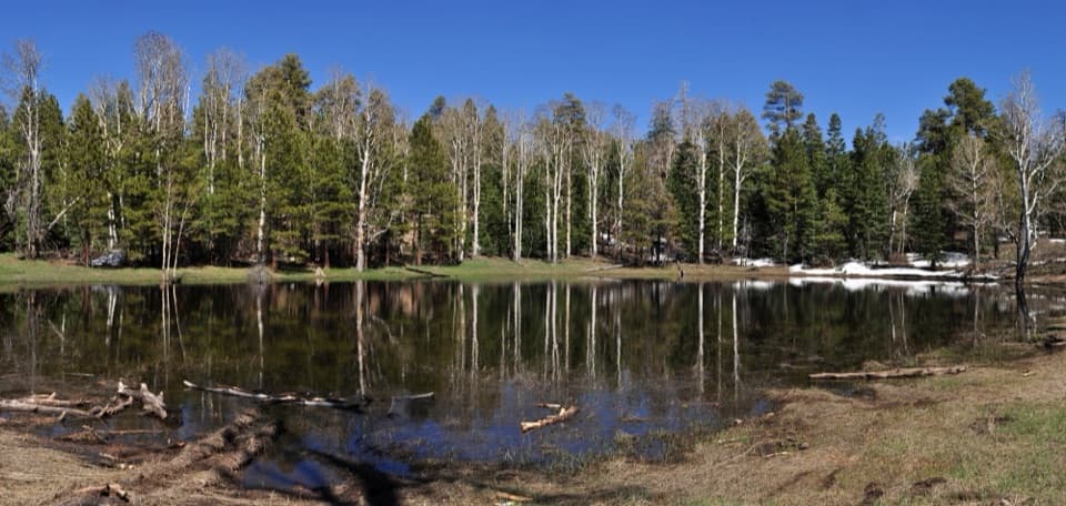 EasyGreenland Lake Trail0.3 mi · 45 min · 2.6 mi awayA quick detour from Cape Royal Road to Greenland Lake.
 ModerateKomo Point Trail10 mi · 4.5 hr · 3.3 mi awayFollow a fading old road to a remote canyon rim.
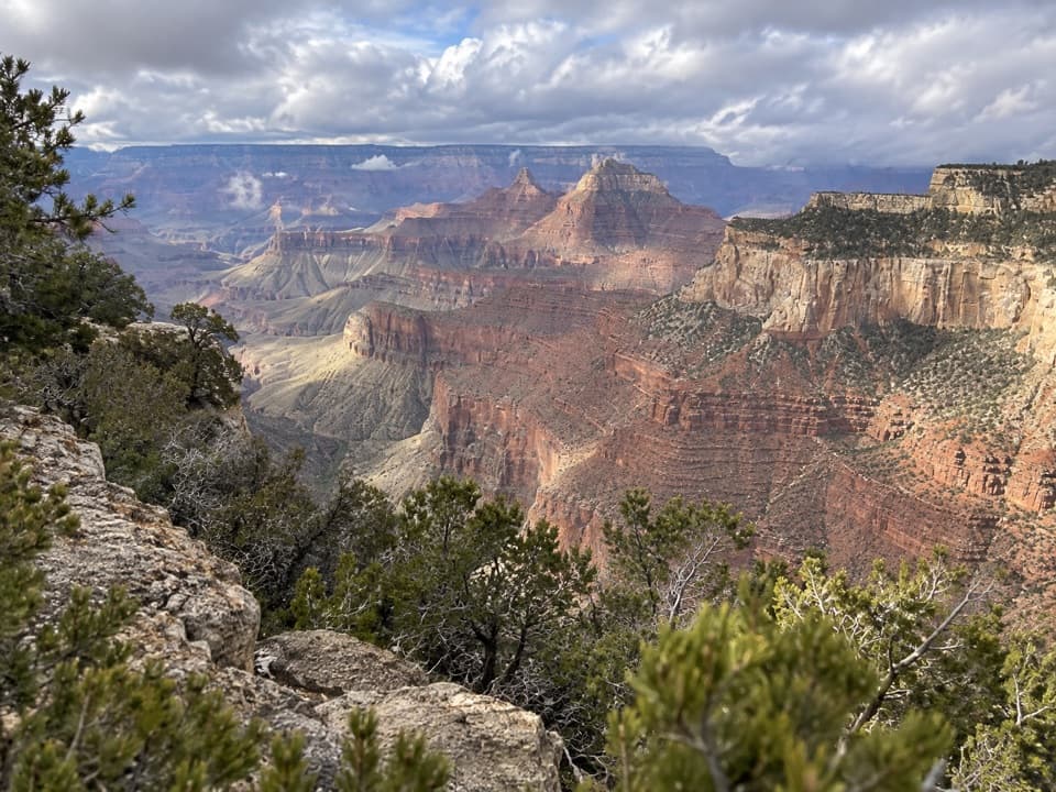 ChallengingAriel Point Trail12.2 mi · 6.5 hr · 3.3 mi awayA long North Rim walk to a rugged canyon projection.
 ModerateFrancois Matthes Trail10.7 mi · 5.5 hr · 3.9 mi awayA long former road to a brush-framed North Rim overlook.
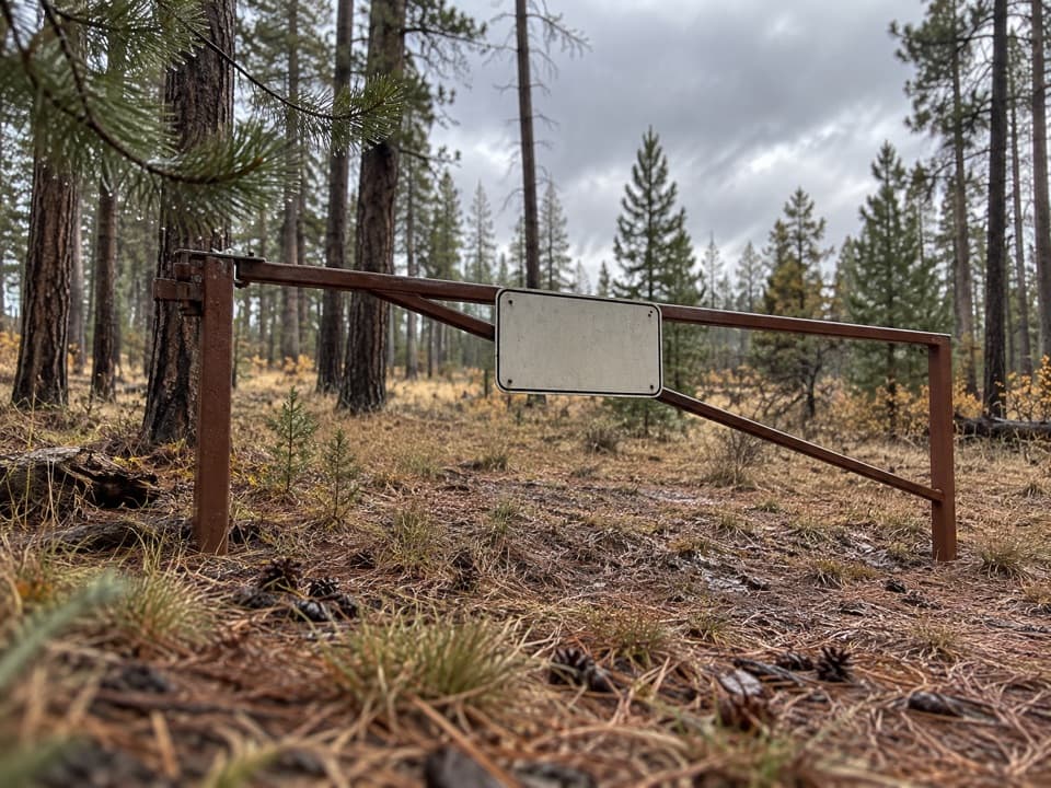 ModerateWalhalla Glades Trail15 mi · 6 hr · 3.9 mi awayA 15-mile out-and-back on Walhalla Plateau's old road.
 EasyRoosevelt Point Trail0.3 mi · 24 min · 4.4 mi awayA woodland loop opens to the Painted Desert and canyon views.
 ChallengingNankoweap Trail29 mi · 4 days · 5 mi awayA remote river descent for experienced canyon backpackers.
 Sight · 0.1 mi awayPoint ImperialThe North Rim's highest lookout opens onto the Painted Desert.
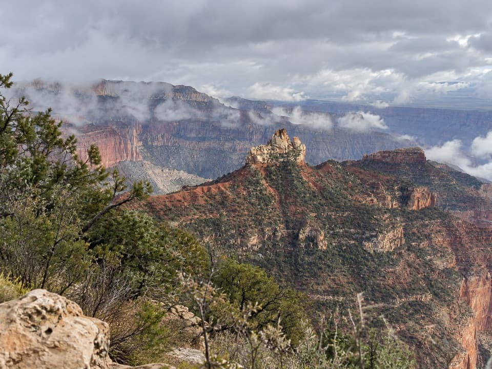 Picnic area · 3.3 mi awayVista EncantadaA pine-shaded picnic stop above the North Rim’s layered cliffs.
 Sight · 4.4 mi awayRoosevelt PointA short walk finishes at an east-facing canyon panorama.
 Sight · 6 mi awayCoconino OverlookA steep 1.4-mile out-and-back earns a Roaring Springs Canyon view.
 Sight · 6.1 mi awaySupai TunnelA four-mile hike to a tunnel framing streaked sandstone.
 Gas station · 6.4 mi awayNorth Rim Service StationA seasonal fill-up just beyond the campground turn.
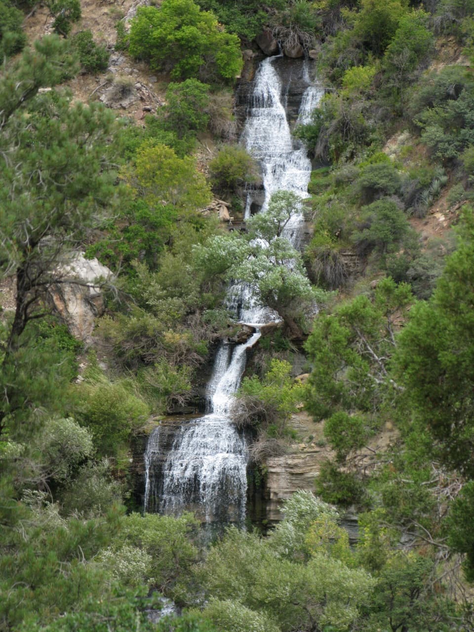 Sight · 6.5 mi awayRoaring SpringsA lush waterfall at the end of a steep canyon hike.
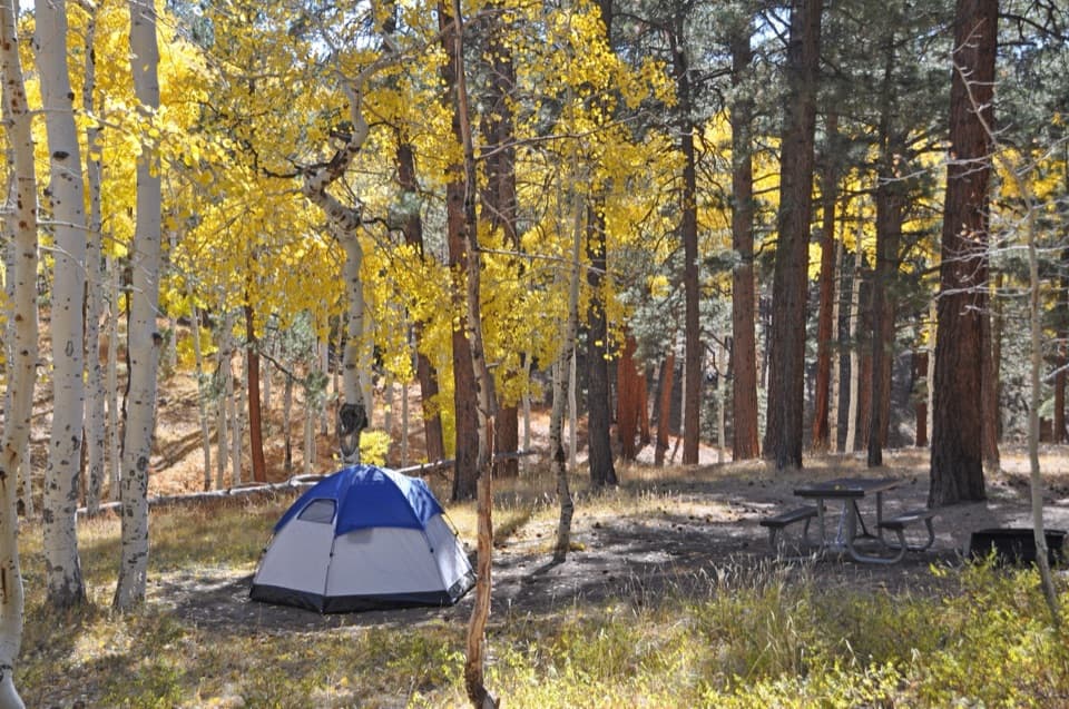 Campground · 6.5 mi awayNorth Rim CampgroundA forested base for a North Rim stay.
Parkwolf’s Grand Canyon ranking

The audio tour guide for the drive, plus offline maps, trails, and wildlife heatmaps for when the signal drops.