Parking
After the Widforss turnoff, continue about four miles on Point Sublime Road to a large meadow; find the southbound old road marked by a no-vehicles sign. A formal parking area is not documented.
Grand Canyon National Park, AZ
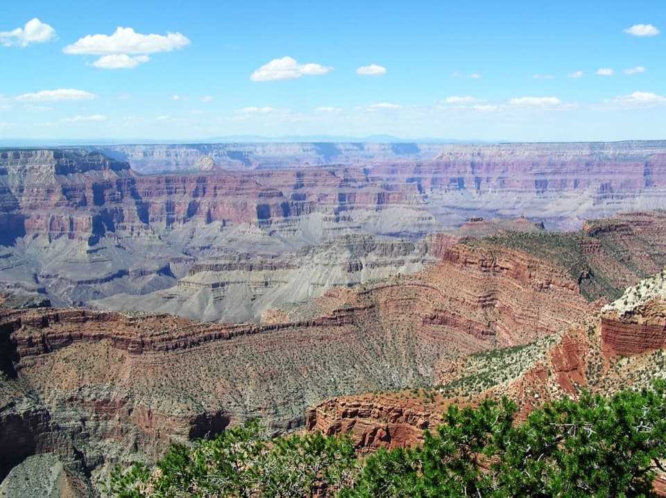
A long forest walk to a North Rim canyon viewpoint.
Overview
Map & elevation
Plan your hike

The highest, rockiest slopes around here are a summer buffet for grizzly bears.
Grand Canyon Tour Guide
Parkwolf is a GPS audio tour guide for Grand Canyon National Park. As you drive, it chimes in with what’s ahead: hidden gems, upcoming stops, history, geology, and wildlife, right through your car’s speakers.
See the Grand Canyon audio tourRecorded for this area
The White-Tailed Forest Squirrel“On a North Rim forest walk, watch for a squirrel with a fluffy white tail and a dark belly. That's the Kaibab squirrel, a local form of the Abert's squirrel.”
Plays on the road 2 mi from the trailhead in the Parkwolf Grand Canyon Tour Guide.
More stories near here in the app
“Fantastic app with many points of information… It’s great to just turn on while you’re driving and it gives you an audio tour of the national Park. We love it!!!!”


Trail guide
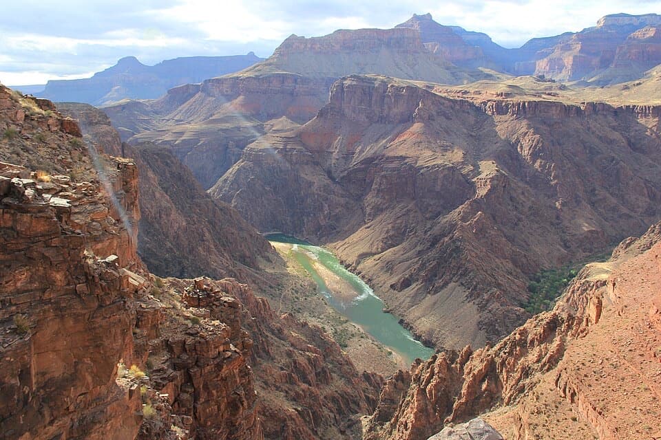
Tiyo Point Trail is a 12.6-mile out-and-back from a meadow on Point Sublime Road, following an old forest road through pine and aspen to a North Rim overlook. The mapped corridor is 6.3 miles each way; allow about eight hours for the return trip. It is an all-day choice for hikers who want the forest approach as much as the canyon view. Expect the climb back to the meadow to feel more noticeable.
The access is a broad meadow about four miles beyond the Widforss turnoff on Point Sublime Road. The southbound old road is marked only with a no-vehicles sign, not a trailhead marker. Formal parking is not documented, so make sure you can identify the access before starting. Water and restrooms are not documented along the route; bring what you will need. Tiyo Point is not among the North Rim routes where pets are allowed.
The main overlook is described as having partly screened sightlines. A southern side path is reported to open toward Isis and Osiris Temples; it is not included in the mapped mileage. A circa-1904 view from near Tiyo Point shows a wooden survey cairn with Isis and Shiva Temples beyond it. That is a useful piece of the point’s history, but the cairn belongs to an old photograph, not today’s route.
Wildlife
 718 sightingsCalifornia CondorMost seen around 5 PMSighting map
 533 sightingsBighorn SheepMost seen around 7 AMSighting map
 169 sightingsAmerican BisonMost seen around 7 PMSighting map
 1,891 sightingsElkMost seen around 6 AMSighting map
 59 sightingsCoyoteMost seen around 6 PMSighting map
 27 sightingsGray FoxMost seen around 6 AMSighting map
Sighting maps show where each species has been reported across Grand Canyon. Wildlife moves, so no sighting is guaranteed.
Keep exploring
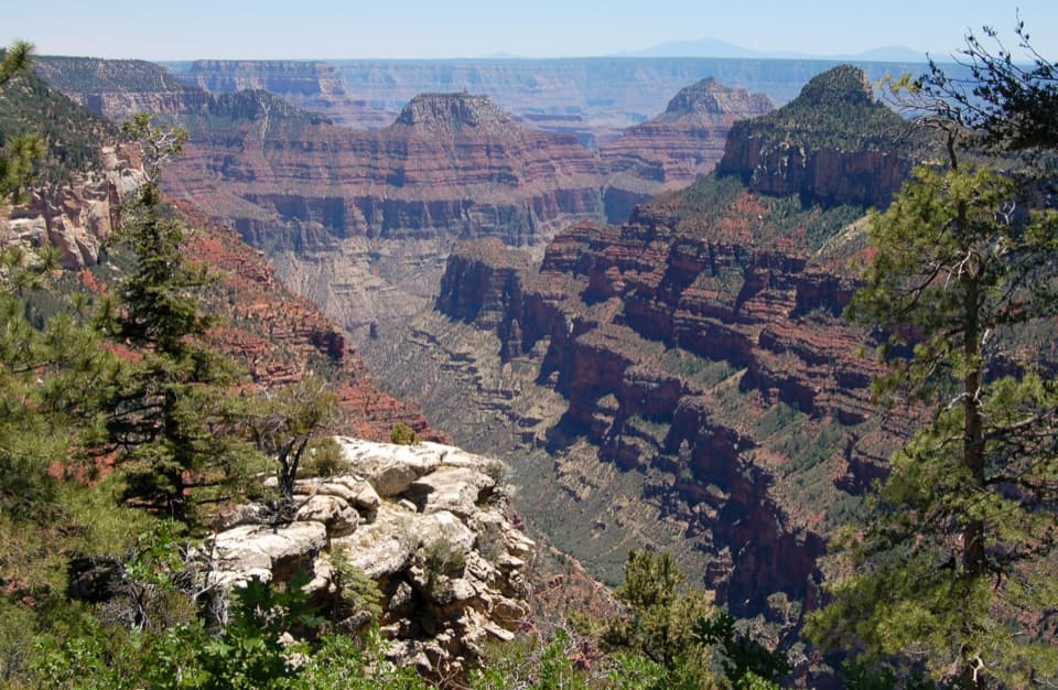 ModerateWidforss Trail10 mi · 6 hr · 3.2 mi awayForest miles open into wide canyon views at Widforss Point.
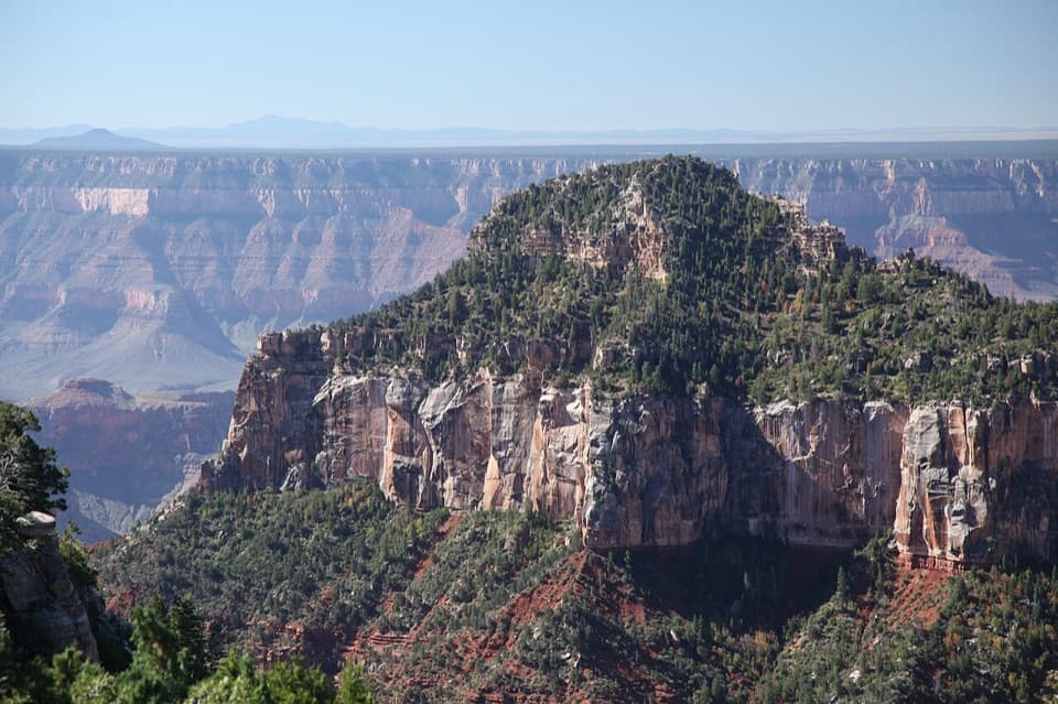 ModerateTransept Trail2 mi · 1.5 hr · 3.8 mi awayFollow pine shade to overlooks above a deep side canyon.
 ModerateArizona Trail Passage 39: Grand Canyon – North Rim12 mi · 6.5 hr · 3.8 mi awayA high forest traverse with a canyon overlook at the North Rim
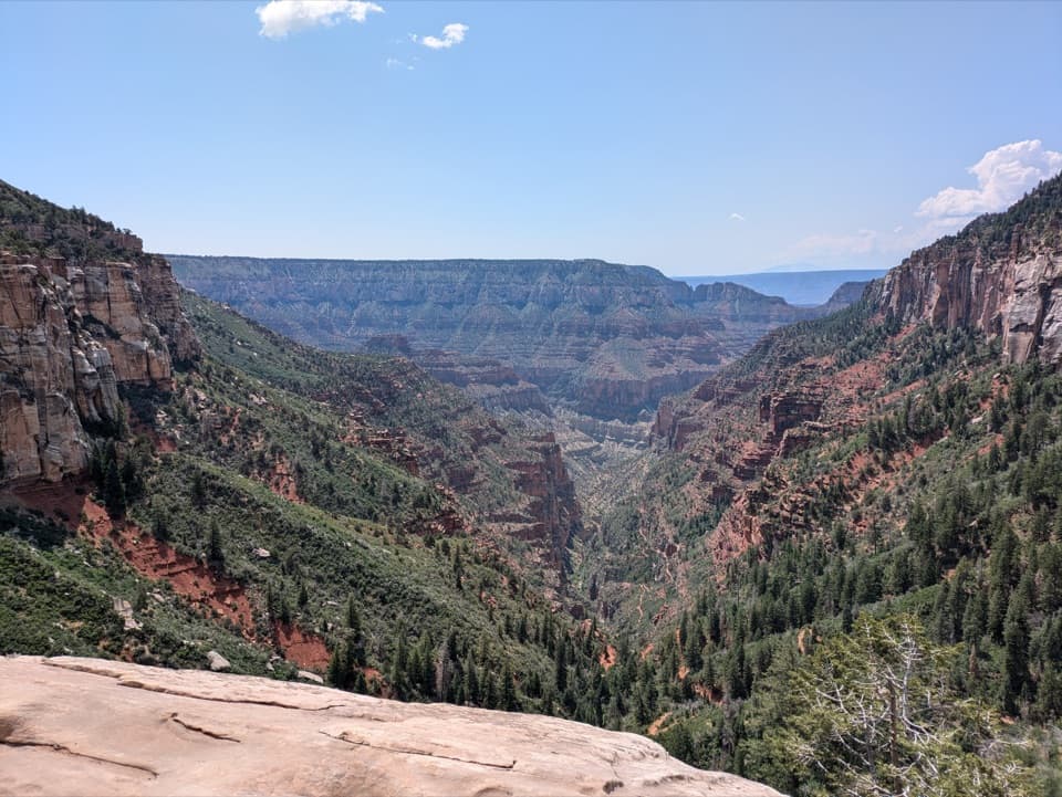 ChallengingNorth Kaibab Trail14.2 mi · 10.5 hr · 3.9 mi awayA steep, forested 14.2-mile descent to the Colorado River.
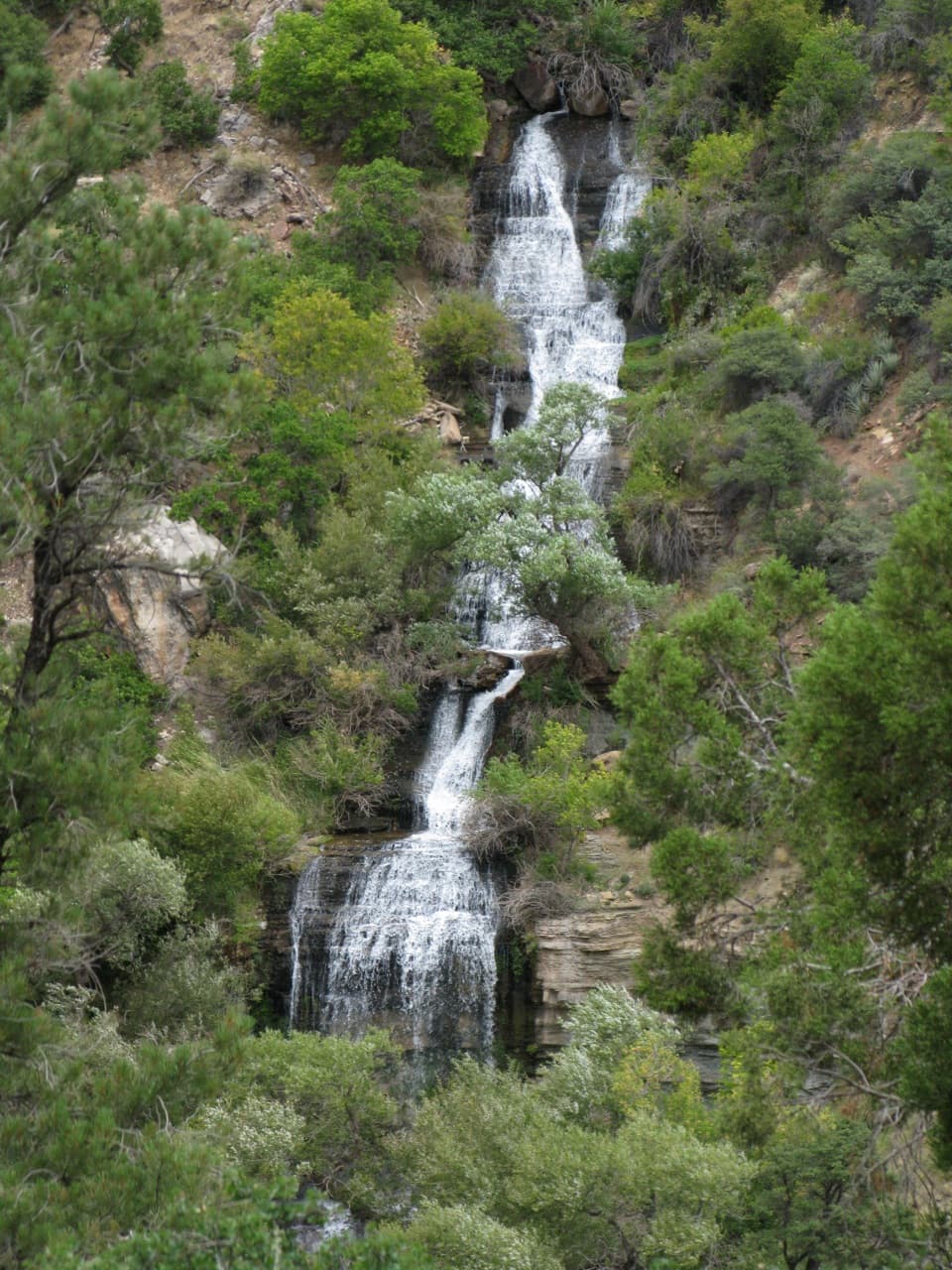 ChallengingRoaring Springs Trail9.4 mi · 7.5 hr · 3.9 mi awayA strenuous North Rim descent reaches a spring pouring from the cliffs.
 ChallengingOld Bright Angel Trail Loop14 mi · 11 hr · 3.9 mi awayAn overgrown canyon loop for hikers comfortable finding their own way.
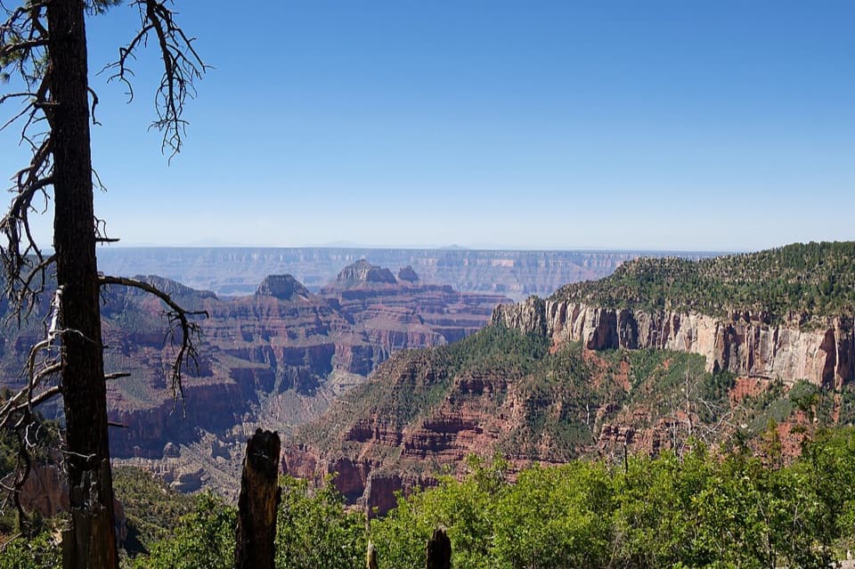 ModerateUncle Jim Trail4.7 mi · 3 hr · 3.9 mi awayA forest loop with a wide view down Bright Angel Canyon.
 EasyBridle Path1.6 mi · 1 hr · 3.9 mi awayA short, hard-packed connector from North Kaibab to the former lodge lot.
 Gas station · 4 mi awayNorth Rim Service StationA seasonal fill-up just beyond the campground turn.
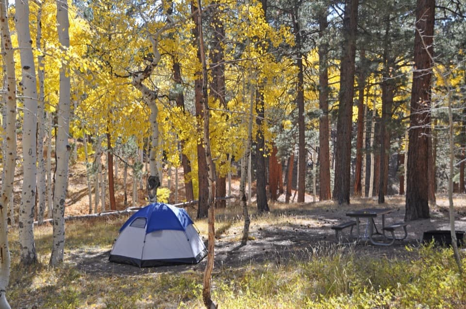 Campground · 4.1 mi awayNorth Rim CampgroundA forested base for a North Rim stay.
 Sight · 4.1 mi awayCoconino OverlookA steep 1.4-mile out-and-back earns a Roaring Springs Canyon view.
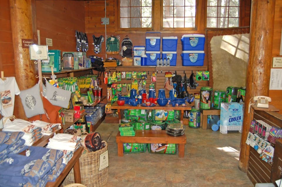 Store · 4.1 mi awayNorth Rim General StoreA seasonal shop for campground supplies and trail snacks.
 Sight · 4.4 mi awaySupai TunnelA four-mile hike to a tunnel framing streaked sandstone.
 Entrance station · 5.3 mi awayNorth Rim Entrance StationThe park checkpoint, with another 13 miles to the canyon rim.
 Sight · 5.4 mi awayBright Angel PointA high rim panorama framed by the canyon’s temple buttes.
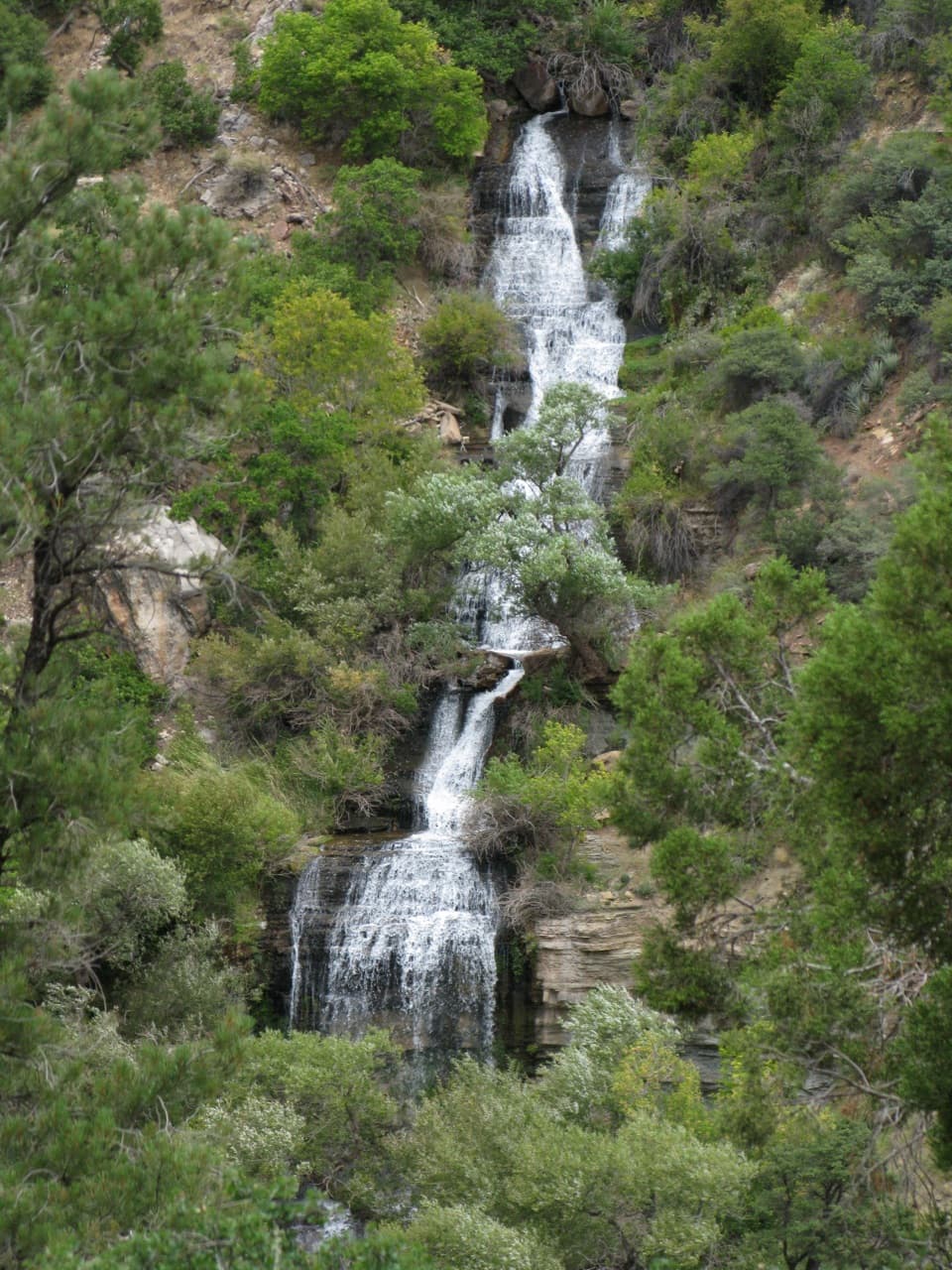 Sight · 5.8 mi awayRoaring SpringsA lush waterfall at the end of a steep canyon hike.
Parkwolf’s Grand Canyon ranking

The audio tour guide for the drive, plus offline maps, trails, and wildlife heatmaps for when the signal drops.