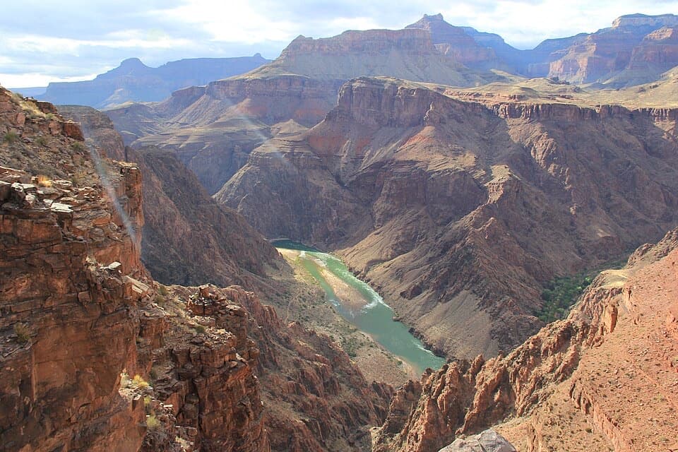
Parking
From Cape Royal Road, take the dirt road a quarter-mile south for one mile to the Widforss Trail parking area. A self-guiding brochure is available at the trailhead.
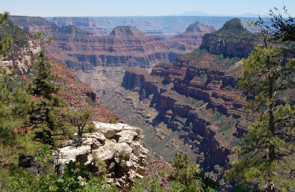
#10 of 73 trails in Grand Canyon
Grand Canyon National Park, AZ
Forest miles open into wide canyon views at Widforss Point.
Overview
Map & elevation
Plan your hike

The highest, rockiest slopes around here are a summer buffet for grizzly bears.
Grand Canyon Tour Guide
Parkwolf is a GPS audio tour guide for Grand Canyon National Park. As you drive, it chimes in with what’s ahead: hidden gems, upcoming stops, history, geology, and wildlife, right through your car’s speakers.
See the Grand Canyon audio tourRecorded for this trailhead
Widforss Trail’s Forest and Canyon“Up ahead is Widforss Trailhead, the start of a ten-mile round trip through pine and aspen to a canyon overlook. Allow about six hours at more than eight thousand feet; choose it for the forest walk as well as the views.”
Plays as you drive up to this trailhead in the Parkwolf Grand Canyon Tour Guide.
More stories near here in the app
“Fantastic app with many points of information… It’s great to just turn on while you’re driving and it gives you an audio tour of the national Park. We love it!!!!”


Trail guide
Widforss Trail is a 10-mile (16 km) out-and-back from the North Rim forest to the rim-side rocks at Widforss Point. Allow about six hours for the full walk. The route gives you a strong canyon view near the start and again at the end, but the middle is a real forest hike, not five miles of nonstop overlooks. Choose it if you want a long walk through pines and aspen with a couple of big canyon openings; pick a shorter rim walk if the view is your only goal.
The first 2.5 miles have the self-guided stops, but they are only the start of the trip. At more than 8,000 feet, the full distance takes more effort than the mileage alone suggests.
From Cape Royal Road, take the dirt road a quarter-mile south to the one-mile drive to the Widforss Trail parking area. A self-guiding brochure is available at the trailhead. The walk begins around 8,100 feet; no water source is listed along the route, so carry what you expect to need for the full day. North Rim access is seasonal, so check road status before setting out. Ordinary pets are not allowed on Widforss; leashed pets are limited to the Bridle Trail and part of the Arizona Trail.
The trail leaves the parking area through forest and skirts Harvey Meadow; the canyon is not visible right at the start. The first glimpse comes about a mile in. For roughly the first 2.75 miles, the path stays along the rim, with ponderosa pines giving way to open canyon views. Fourteen numbered stops on the first 2.5 miles point out natural and geologic features; marker 10 is near a particularly large ponderosa, and the guided portion ends at sculptured rocks with a view across this stretch of the canyon.
Around mile 2.75 the trail turns away from the rim, and the canyon drops out of view until close to Widforss Point. The path crosses a valley with ferns and aspen, curves toward the Transept, then climbs onto a broad, flat bench. You pass an aspen grove around mile 3.5. The last mile and a half meanders through forest with little elevation change. The path is well used and easy to follow, but this is the quiet, tree-covered part of the hike; save enough energy for the same miles back.
The trail ends near a Kaibab Limestone knob across a small valley. There is no clearly defined path onto the knob; hikers usually find a rock ledge near the end for the canyon view. From there, look across to South Rim landmarks such as Yaki, Yavapai, and Mather Points, then pick out Wotan’s Throne, Horseshoe Mesa, and the San Francisco Peaks. Transept Canyon also gives you a striking on-route frame: pale rim cliffs above darker, layered inner-canyon walls, with pines at the edge.
The trail is named for Gunnar Widforss, who painted Grand Canyon landscapes in the early 1900s. The trail’s interpretive stops connect natural and geologic features to the subjects in his work. Harvey Meadow has its own story: it was an early tourist camp, and game warden and mountain-lion hunter “Uncle” Jim Owens lived in a small cave across the meadow.
Wildlife
 718 sightingsCalifornia CondorMost seen around 5 PMSighting map
 533 sightingsBighorn SheepMost seen around 7 AMSighting map
 169 sightingsAmerican BisonMost seen around 7 PMSighting map
 1,891 sightingsElkMost seen around 6 AMSighting map
 59 sightingsCoyoteMost seen around 6 PMSighting map
 27 sightingsGray FoxMost seen around 6 AMSighting map
Sighting maps show where each species has been reported across Grand Canyon. Wildlife moves, so no sighting is guaranteed.
Keep exploring
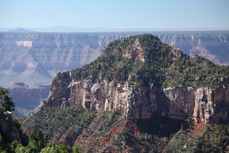 ModerateTransept Trail2 mi · 1.5 hr · 0.6 mi awayFollow pine shade to overlooks above a deep side canyon.
 ModerateArizona Trail Passage 39: Grand Canyon – North Rim12 mi · 6.5 hr · 0.6 mi awayA high forest traverse with a canyon overlook at the North Rim
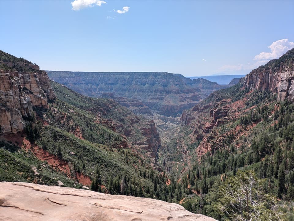 ChallengingNorth Kaibab Trail14.2 mi · 10.5 hr · 0.7 mi awayA steep, forested 14.2-mile descent to the Colorado River.
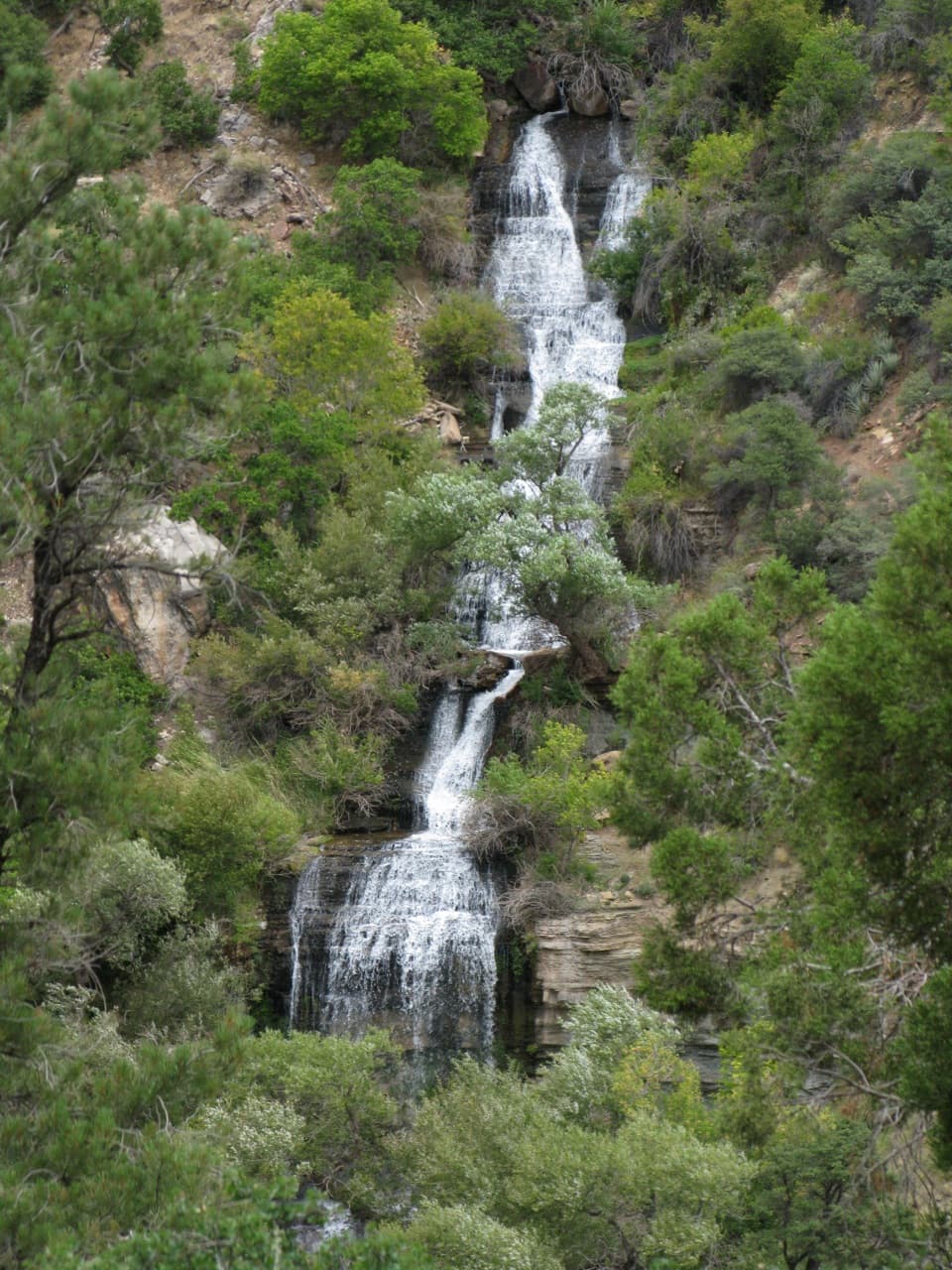 ChallengingRoaring Springs Trail9.4 mi · 7.5 hr · 0.7 mi awayA strenuous North Rim descent reaches a spring pouring from the cliffs.
 ChallengingOld Bright Angel Trail Loop14 mi · 11 hr · 0.7 mi awayAn overgrown canyon loop for hikers comfortable finding their own way.
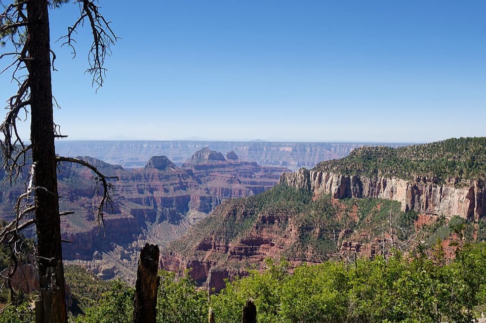 ModerateUncle Jim Trail4.7 mi · 3 hr · 0.7 mi awayA forest loop with a wide view down Bright Angel Canyon.
 EasyBridle Path1.6 mi · 1 hr · 0.7 mi awayA short, hard-packed connector from North Kaibab to the former lodge lot.
 ChallengingRim-to-Rim: North Kaibab to Bright Angel23.5 mi · 16 hr · 0.7 mi awayA point-to-point crossing from North Rim forest to the South Rim.
 Gas station · 0.8 mi awayNorth Rim Service StationA seasonal fill-up just beyond the campground turn.
 Sight · 0.9 mi awayCoconino OverlookA steep 1.4-mile out-and-back earns a Roaring Springs Canyon view.
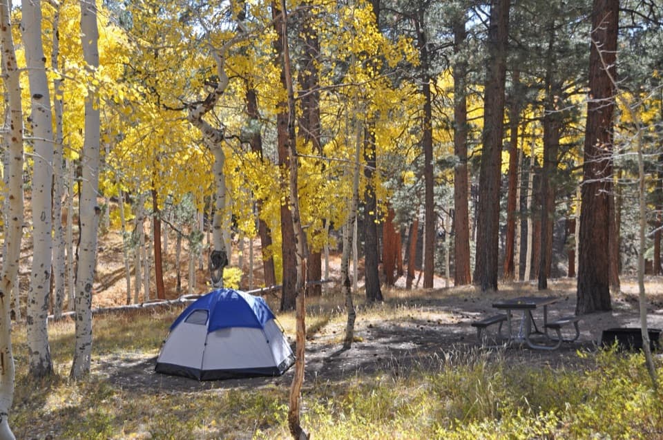 Campground · 0.9 mi awayNorth Rim CampgroundA forested base for a North Rim stay.
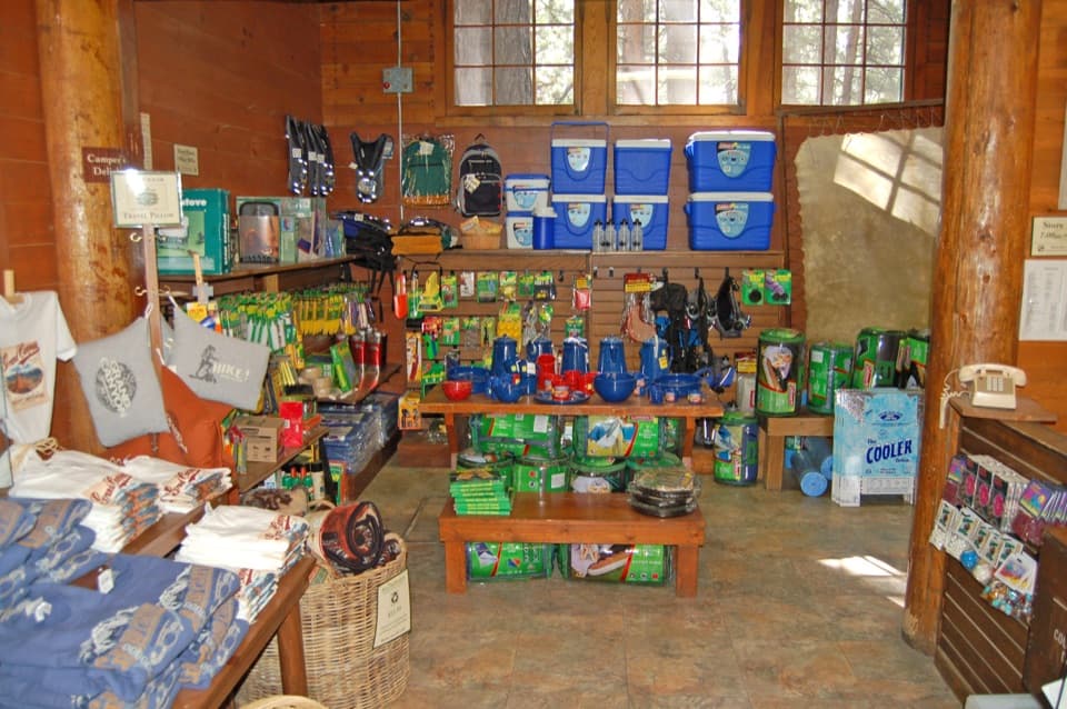 Store · 1 mi awayNorth Rim General StoreA seasonal shop for campground supplies and trail snacks.
 Sight · 1.2 mi awaySupai TunnelA four-mile hike to a tunnel framing streaked sandstone.
 Sight · 2.3 mi awayBright Angel PointA high rim panorama framed by the canyon’s temple buttes.
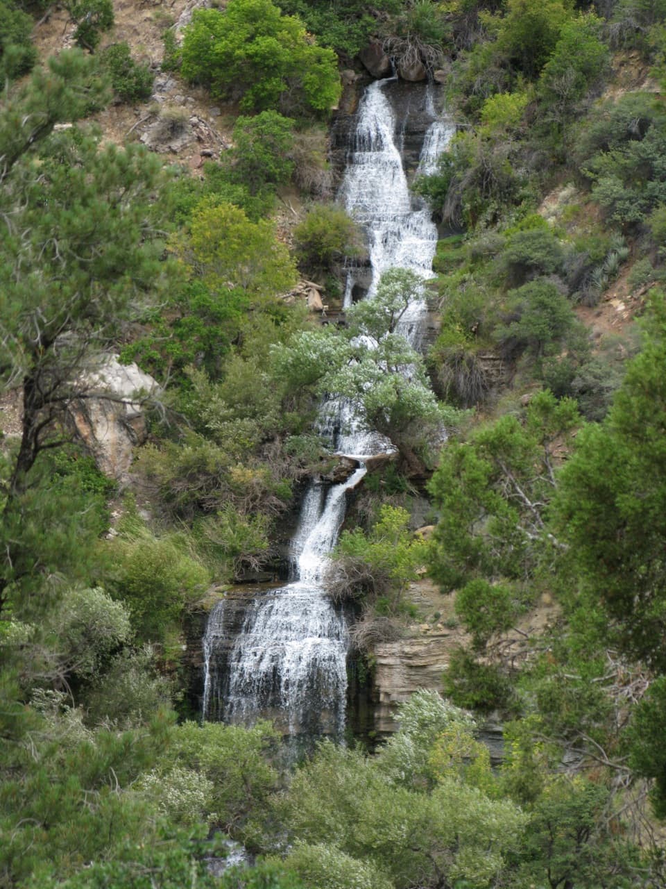 Sight · 2.6 mi awayRoaring SpringsA lush waterfall at the end of a steep canyon hike.
 Campground · 3.9 mi awayCottonwood CampgroundSleep beneath the canyon walls beside Bright Angel Creek.
Parkwolf’s Grand Canyon ranking

The audio tour guide for the drive, plus offline maps, trails, and wildlife heatmaps for when the signal drops.