
Place · 1.6 mi away
Challenging
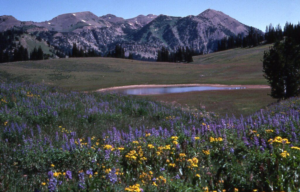
This is the wild, view-rich connector that drops from the Rendezvous Mountain high country into Granite Canyon. Most hikers use it as part of a bigger Granite Canyon day—either descending from the tram or linking it into a longer out-and-back. Expect rugged tread, long miles, and a real backcountry feel once you leave the ridgeline.
Plan on roughly 13 miles total for a Granite Canyon out-and-back that includes the South Fork segment. If you stitch Granite Canyon + the South Fork into a bigger loop from Teton Village, expect around 17 miles total with substantial elevation change. Many hikers ride the tram up to Rendezvous Mountain and descend via the South Fork to the Granite Canyon Trailhead for a mostly downhill day; that point-to-point descent commonly runs 4–6 hours depending on pace and conditions. Your exact mileage varies with where you start and finish.
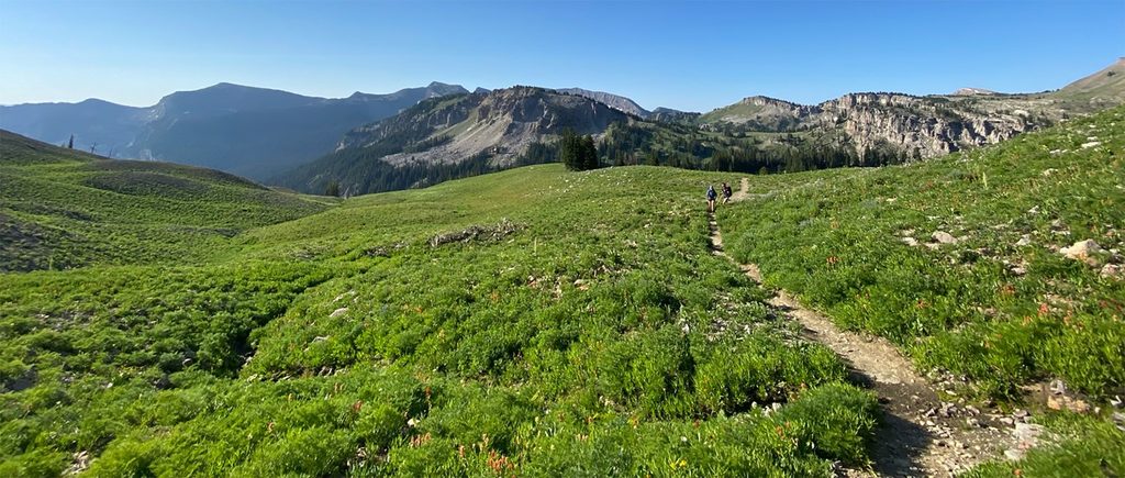
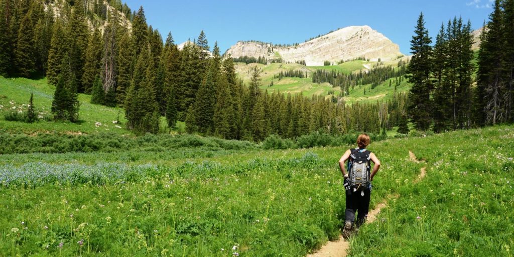
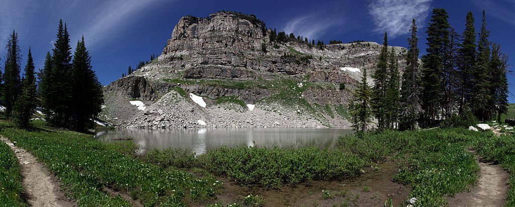
Traveling south to north, the South Fork lines up sweeping views toward Mount Hunt and Prospectors Mountain before dropping into the canyon. Up high you’ll move through open, alpine terrain; lower down, the route funnels into classic canyon forest with a lively creek. Keep an eye out (and an ear) for marmots and pikas among the rocks. The canyon’s name is a mislead—those “granite” walls up high are largely metagabbro, a metamorphic rock that only looks like granite. If lake time is your priority, the North Fork is the direct route to Marion Lake, but the South Fork still delivers big cliffs and scenery, with potential lake access via a short detour.
This one is hard: long mileage, notable elevation loss/gain, and rocky, uneven tread in places. Snow can linger on the upper segments until mid-July—early-season travel can mean firm morning snow, slushy afternoons, and occasional route-finding challenges. It’s quieter than the main Granite Canyon trail, which is a plus for solitude but means you should be extra self-sufficient.
Start from the Granite Canyon Trailhead along Moose–Wilson Road (about a mile north of the Granite Entrance Station). Parking is limited—arrive early or plan for a shoulder start time. There’s no water at the trailhead, and water sources on route can be intermittent depending on season, so carry what you need.
This is active bear country—travel in a group if possible, make noise in brushy stretches, and carry bear spray. In early to mid-summer, be prepared for lingering snow; traction and the skills to travel on it safely may be required. Pets are not allowed on park trails. Overnight trips require a backcountry permit.
July through September offers the most reliable conditions, wildflowers, and dry tread. Shoulder-season attempts can be great in the lower canyon but often run into snow higher up. For photography, start early: soft side-light on the upper ridges gives the best relief on Mount Hunt and Prospectors, and you’ll beat both heat and crowds in the lower corridor.
Granite Canyon Trailhead on Moose–Wilson Road, about a mile north of the Granite Entrance Station; limited parking—arrive early.
Snow often lingers until mid-July on upper sections; be prepared for snow travel and navigation. Active bear country—carry bear spray and make noise. No water at the trailhead; streams can be intermittent—carry enough.
Place · 1.6 mi away
Place · 2.6 mi away
Place · 2.8 mi away
Place · 3.4 mi away
Challenging · 0 mi away
Challenging · 0 mi away
Challenging · 0 mi away
Challenging · 0 mi away

Parkwolf Tour Guide
