Pros & cons
PROS
- Jackson Hole tram start can shave major elevation and mileage if operating.
- Alaska Basin (outside the park) offers no-permit camping flexibility.
- Phillips Pass approach is surprisingly quiet before the marquee canyons.
CONS
- Backcountry permits are highly competitive in peak season.
- Point-to-point logistics require a shuttle or time-consuming hitchhike.
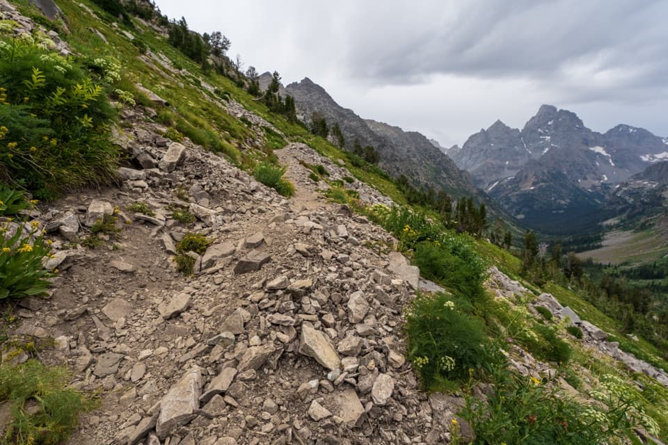
- Lingering early-season snowfields can require traction and caution.
Park at Phillips Pass or Granite Canyon on the south end, or at String Lake on the north end. If using the tram, park at Teton Village. Arrange a shuttle between trailheads; hitchhiking is possible but unreliable.
High elevation, fast-changing weather, and lingering snowfields (especially mid-summer) make passes serious. Bears are active—carry spray and practice strict food storage. Nights in early September can be cold with early storms. Point-to-point logistics and tram operations require advance planning.
Overview
The Teton Crest Trail is the Tetons’ marquee multi‑day traverse—think big alpine passes, wildflower meadows, glacier-carved canyons, and near-constant views of the range’s jagged skyline. Expect roughly 39–45 miles total depending on where you start and finish. The classic point‑to‑point goes from Phillips Pass (outside the park) to String Lake (inside the park) at about 39 miles, though alternatives via Granite Canyon or the Jackson Hole tram can tweak both mileage and effort. Most backpackers take 3–5 days, and the trail spends much of its time above 8,000 feet, topping out near 10,700 feet with roughly 8,000–9,300 feet of total elevation gain.
Route & Experience
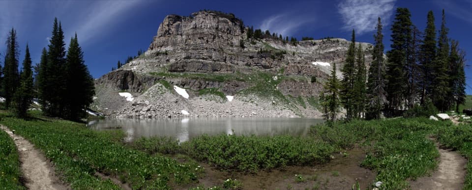
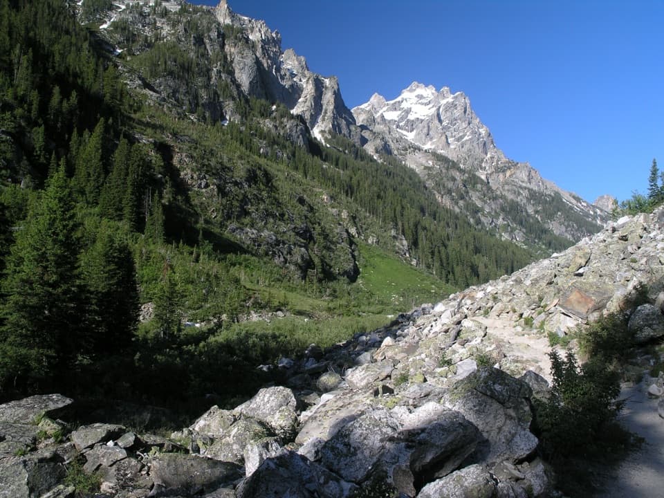
South-to-north is the popular flow: quieter miles from Phillips Pass into the park near Death Canyon, then bigger-name scenery as you work toward Paintbrush Divide and descend Cascade Canyon to finish by String/Leigh Lake. Marion Lake is a jewel-box stop, and the high country strings together ridge walking, meadows, and classic U-shaped glacial valleys. Expect stretches of real solitude early on, then more hikers as you overlap with the Paintbrush and Cascade Canyon corridors.
Scenery, Geology, and Wildlife
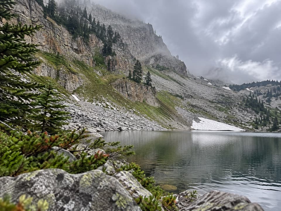
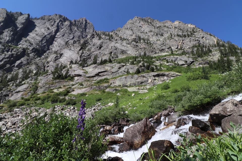
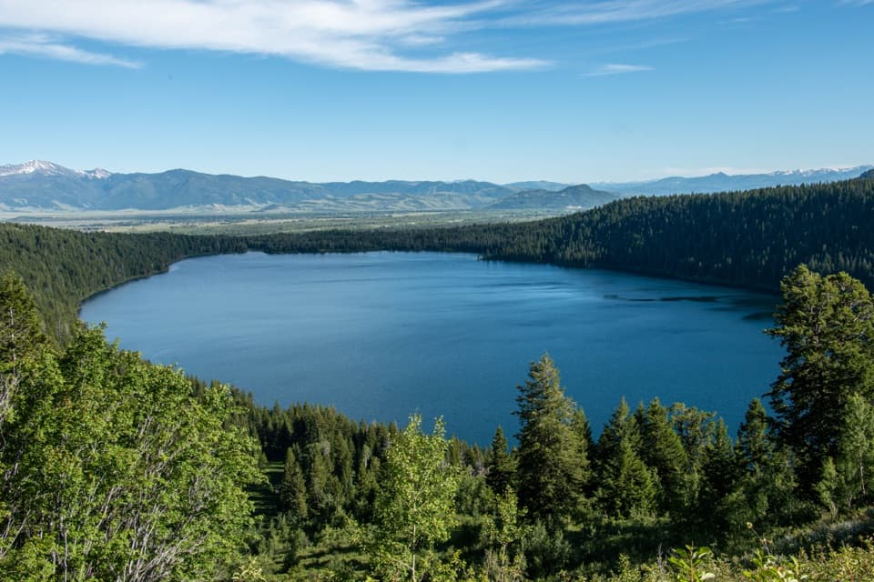
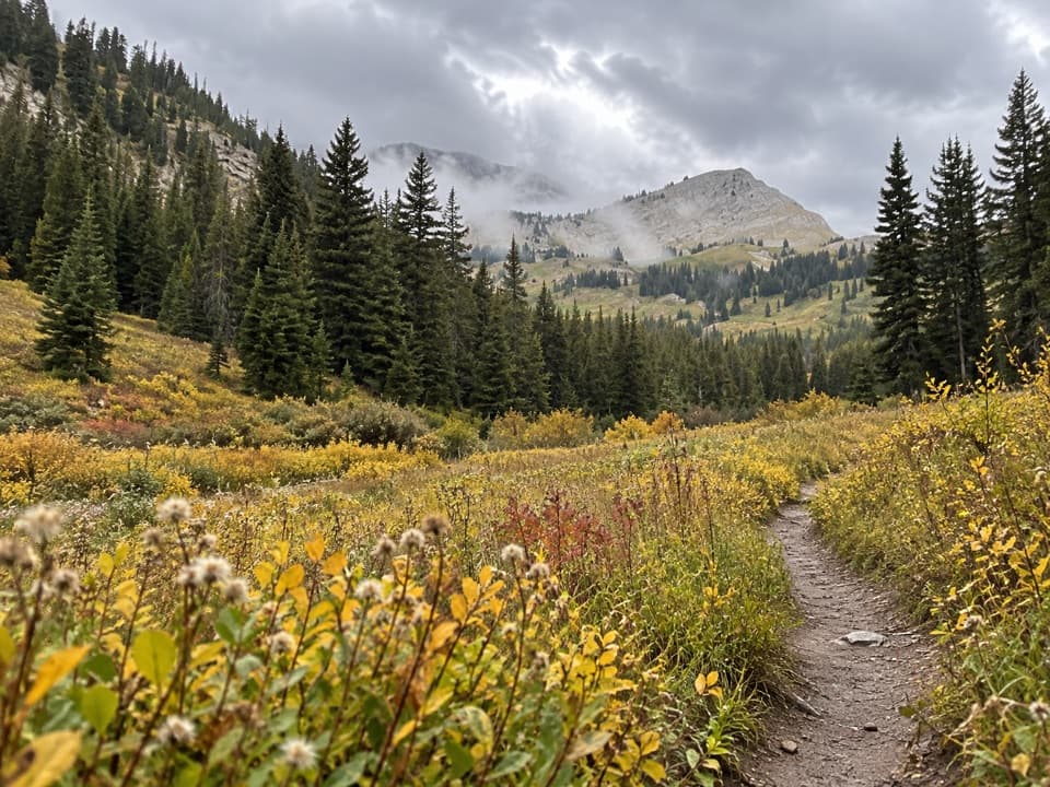
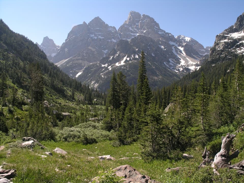
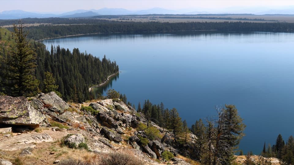
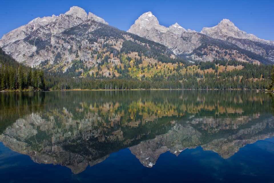
This is a highlight reel of Teton geology—moraines, U‑shaped valleys, and turquoise alpine lakes shaped by glaciers. July–August meadows burst with penstemon, lupine, Indian paintbrush, monkshood, and coneflower. Wildlife sightings are common: moose, elk, deer, bighorn sheep, and both black and grizzly bears share this landscape. You’ll move through dense pine forests, subalpine meadows, and open alpine tundra, rarely dropping low for long.
Difficulty & Who It’s For
It’s a moderate-to-difficult backpack due to sustained elevation, repeated passes, and high altitude. Strong hiking legs and solid backcountry skills are recommended, especially early season when lingering snowfields can add spice. If you’re fit and want a true Teton immersion without day-hike crowds the entire way, this is the bucket-list pick.
Best Time to Hike
Aim for mid-July through early September. By mid‑July, most high passes are usually melted out and wildflowers are peaking. Early September trims crowds and adds hints of fall color, but nights get cold and early storms are possible. Weather changes fast at altitude; build in buffer and start passes early.
Permits, Camping, and Logistics
Overnight backcountry permits are required for camping within the park’s designated zones and are very competitive from late July into early September. Alaska Basin—just outside the park—doesn’t require a permit, which can help if you’re threading the needle on reservations. Water is generally abundant along the route but always filter. If you’re going point-to-point, line up a shuttle; hitchhiking can work, but don’t bank on it. The Jackson Hole tram (when operating) can save ~4 miles and about 2,400 feet of climbing on a south-end start—double-check seasonal operations before counting on it.
Tips
Carry trekking poles for the long descents and any lingering snow. Acclimatize if you’re coming from sea level. Bear spray and diligent food storage are musts. Start from Phillips Pass if you want a quieter first day; expect more company near Paintbrush and Cascade. Bring a proper topo map and know your alternates in case weather forces a change.
Elevation
39 mi · 96 hrWhere it starts
43.6074, -110.7927Wildlife on this trail
Near Teton Crest Trail
All places →All trails →
0 mi awayGranite Canyon TrailCreek-to-alpine canyon day with tram twist and real solitudeChallenging · 13 mi · 5.8 hr
0 mi awayMarion Lake TrailHigh-alpine loop to a quiet cirque lake via the tramChallenging · 14.2 mi · 8.1 hr
0 mi awayValley TrailLong, lake-linked traverse with quieter Tetons viewsChallenging · 40 mi · 18 hr
0 mi awaySouth Fork Granite Canyon TrailHigh-to-low connector with big Teton views and real solitude.Challenging · 13 mi · 6 hr
1.6 mi awayLaurance S. Rockefeller Preserve CenterSustainable visitor center with immersive exhibits and Phelps Lake trailsVisitor Center · Exhibit
2.6 mi awayPhelps LakeGlacial lake loop with big views and a famed jumping rockTrailhead · Parking
2.8 mi awayJackson Hole AirportThe only US airport inside a national park with Teton viewsRestroom · Parking
3.4 mi awayDeath Canyon BarnHistoric CCC patrol cabin at a dramatic canyon junction