
Place · 5 mi away
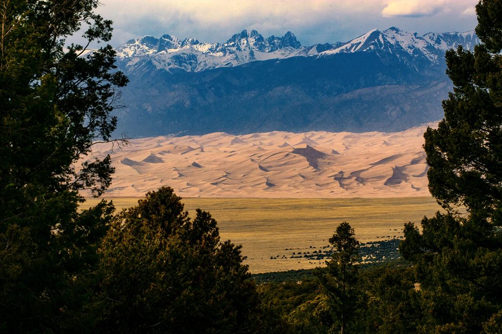
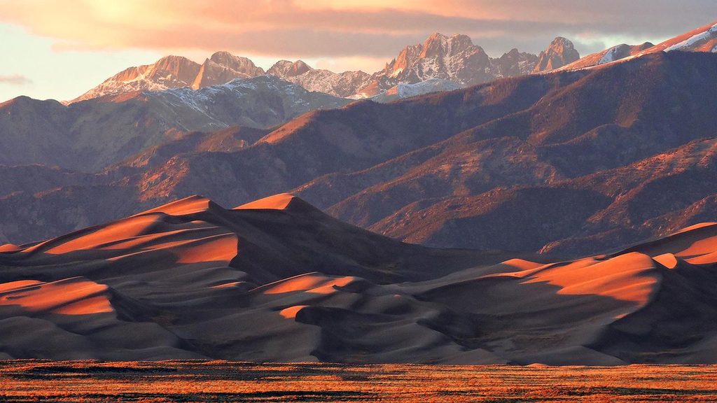
Just south of the dunes, Zapata Falls serves up an outsized reward for a short hike: a hidden, 25–30 foot waterfall tucked in a narrow slot, plus sweeping views over the San Luis Valley and the dune field from the trailhead. It’s a refreshing summer detour and, in winter, the falls freeze into a photogenic column of ice.
Plan on roughly 0.8 miles round-trip with about 190 feet of gain at 9,000–9,200 feet. The well-used path climbs gently on rocky gravel to South Zapata Creek. To actually see the main falls, you’ll wade up the creek into a tight chasm, stepping over slick rocks in snowmelt-cold water; it’s short but can feel spicy, especially during spring runoff.
This canyon hosts nesting black swifts—give cliff areas space and stay on established paths. The broader landscape sits on the Rio Grande Rift: rising Sangre de Cristo peaks to the east, a sinking San Luis Valley to the west. Zapata Falls formed where glacial deposits and bedrock created a weak point that the creek carved into today’s slot.
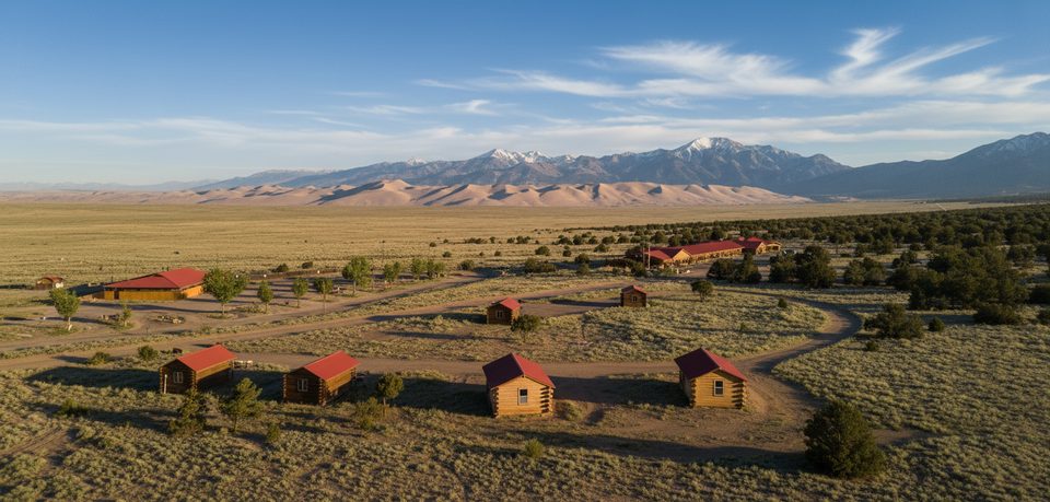
A primitive BLM campground sits by the recreation area with 23 individual sites (a mix of tent-only and RV-capable up to about 50 feet) plus a group site. Expect picnic tables, fire rings, tent pads, food lockers, vault toilets, trash bins—and no drinking water. It’s open year-round, but the access road isn’t plowed in winter.
Turn off CO-150 onto the signed road and climb roughly 3 miles of uphill, bumpy gravel to the trailhead. Passenger cars typically make it with care. Trailers are discouraged due to limited turnarounds. Vault toilets at the trailhead; pets allowed on leash.
Closed-toe water shoes or hikers you don’t mind soaking, plus a trekking pole for balance in the creek. Dry socks/shoes waiting in the car are clutch. Bring all the drinking water you need and a warm layer—the slot stays cool even on hot days.
Arrive early to snag parking, avoid the biggest crowds, and beat common afternoon storms. For photography, morning light works well at the overlook and along the trail; winter’s ice is best when skies are calm and temperatures are steady.
Place · 5 mi away
Place · 5 mi away
Place · 5.1 mi away
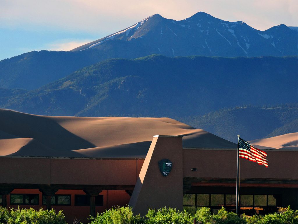
Place · 8.1 mi away
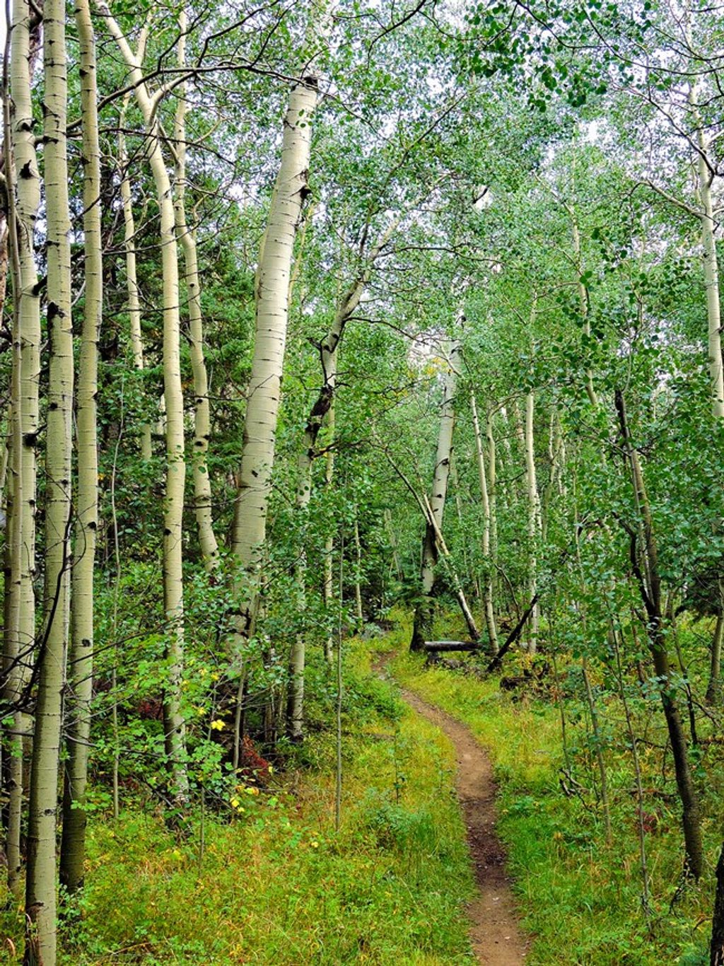
Moderate · 8.3 mi away
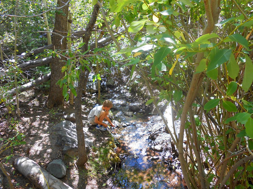
Easy · 8.3 mi away
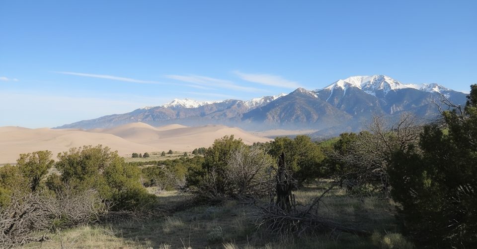
Easy · 8.3 mi away
Challenging · 8.5 mi away

Parkwolf Tour Guide
