Parking
Start at Montville Nature Trail and Mosca Pass Trailhead off CO 150. RVs and trailers cannot park at the trailhead; use the Visitor Center parking for larger rigs.
#10 of 17 trails in Great Sand Dunes
Great Sand Dunes National Park, CO
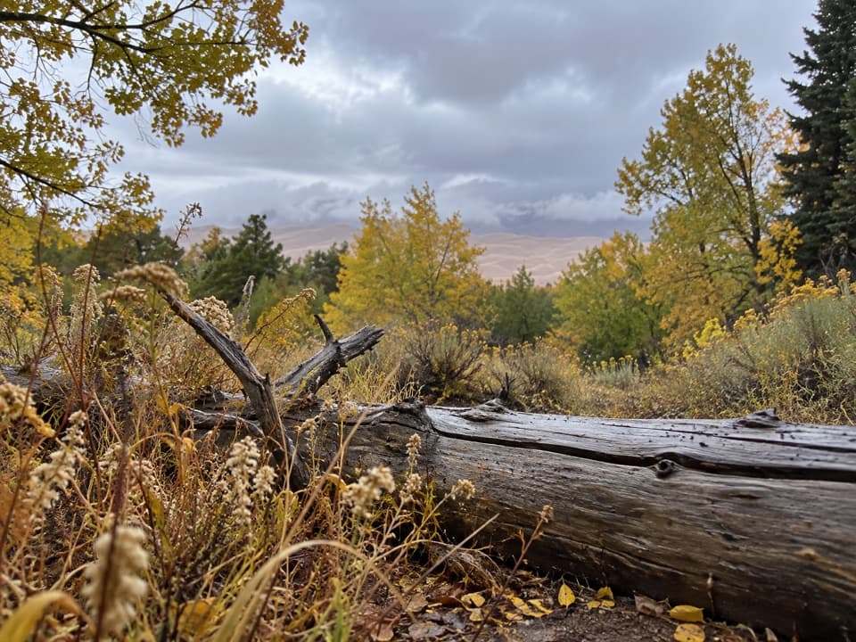
A quiet foothill walk with dune views and a 1927 irrigation ditch.
Overview
Map & elevation
Plan your hike

The highest, rockiest slopes around here are a summer buffet for grizzly bears.
Great Sand Dunes Tour Guide
Parkwolf is a GPS audio tour guide for Great Sand Dunes National Park. As you drive, it chimes in with what’s ahead: hidden gems, upcoming stops, history, geology, and wildlife, right through your car’s speakers.
Recorded for this trailhead
Montville Nature Trail“You're nearing the Montville Nature Trail, a good choice for a short, shaded walk beside Mosca Creek.”
Plays as you drive up to this trailhead in the Parkwolf Great Sand Dunes Tour Guide.
More stories near here in the app
“Fantastic app with many points of information… It’s great to just turn on while you’re driving and it gives you an audio tour of the national Park. We love it!!!!”


Trail guide
Wellington Ditch Trail is a 2.2-mile out-and-back from Montville Nature Trail and Mosca Pass Trailhead to Piñon Flats Campground. Follow the short Mosca Pass access connector to the ditch, then continue to the campground and return the same way. The Wellington-named section itself is about 0.9 mile one way. Allow about 60 to 75 minutes. It is a gentle way to see the dunes from the foothills without climbing across the sandy dune field; the trailhead is above 8,200 feet, so the altitude can make an easy walk feel harder. An arranged shuttle can make it a one-way walk.
Most of the route passes through pinyon pine and Rocky Mountain juniper on hard-packed dirt, with rocky patches. A short rise near the Mosca Creek drainage accounts for much of the climbing; the rest is relatively gentle. Openings in the trees give you views across the dunes to the Sangre de Cristo peaks, and the Wellington cabin sits below the trail, visible through the branches. The view comes and goes rather than staying open the whole way. For a photo, frame the dunes through the pinyon and juniper so they read as a foothill view.
The Wellington family homesteaded here in the 1920s and dug this irrigation ditch by hand in 1927, carrying water from Mosca Creek toward Buck Creek. Cabin remnants remain visible below the trail. The shallow ditch and its carefully chosen grade are the reason this path runs across the foothills instead of taking a direct line through them.
Begin at Montville Nature Trail and Mosca Pass Trailhead; retrace the route from Piñon Flats for the full out-and-back. Piñon Flats is a seasonal campground, with potable-water spigots and flush toilets in its loops during the operating season. Its store between Loops 1 and 2 sells drinks, snacks and limited camping food, but it is a campground stop rather than an on-trail service. Dogs are allowed on the route and must stay on a leash no longer than six feet.
Wildlife
 16 sightingsElkMost seen around 7 PMSighting map
 21 sightingsPronghornMost seen around 7 PMSighting map
 12 sightingsWild TurkeyMost seen around 7 AMSighting map
 153 sightingsMule DeerMost seen around 6 AMSighting map
 38 sightingsRavenMost seen around 9 AMSighting map
 15 sightingsRed-tailed HawkMost seen around 11 AMSighting map
Sighting maps show where each species has been reported across Great Sand Dunes. Wildlife moves, so no sighting is guaranteed.
Keep exploring
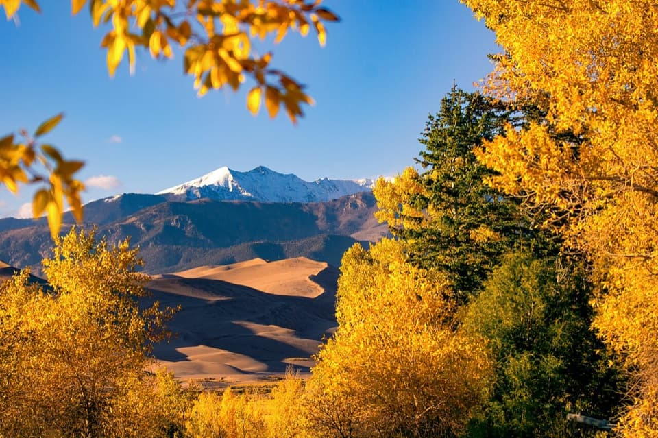 EasyMontville Nature Trail0.5 mi · 30 min · At the trailheadA shady creek loop with dunes views and a trace of Montville.
 ModerateMosca Pass Trail7 mi · 4 hr · At the trailheadA shady creek climb with dune views through the trees.
 EasySand Sheet Loop Trail0.3 mi · 30 min · 0.2 mi awayA quick grassland loop with signs, dunes, and mountain views
 ModerateDunes Overlook Trail2 mi · 1.8 hr · 1 mi awayA short foothill climb opens onto dunes and mountain views.
 ChallengingSand Ramp Trail11 mi · 7 hr · 1.7 mi awayAn 11-mile one-way crossing through sandy foothills to Sand Creek.
 EasySand Pit Trail1.2 mi · 1 hr · 1.7 mi awayA short trail to Medano Creek with Mt. Herard on the skyline.
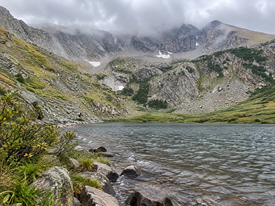 ChallengingMedano Lake via Medano Pass Primitive Road25.2 mi · 12.5 hr · 1.7 mi awayA long road-and-trail climb reaches Medano Lake beneath Mount Herard.
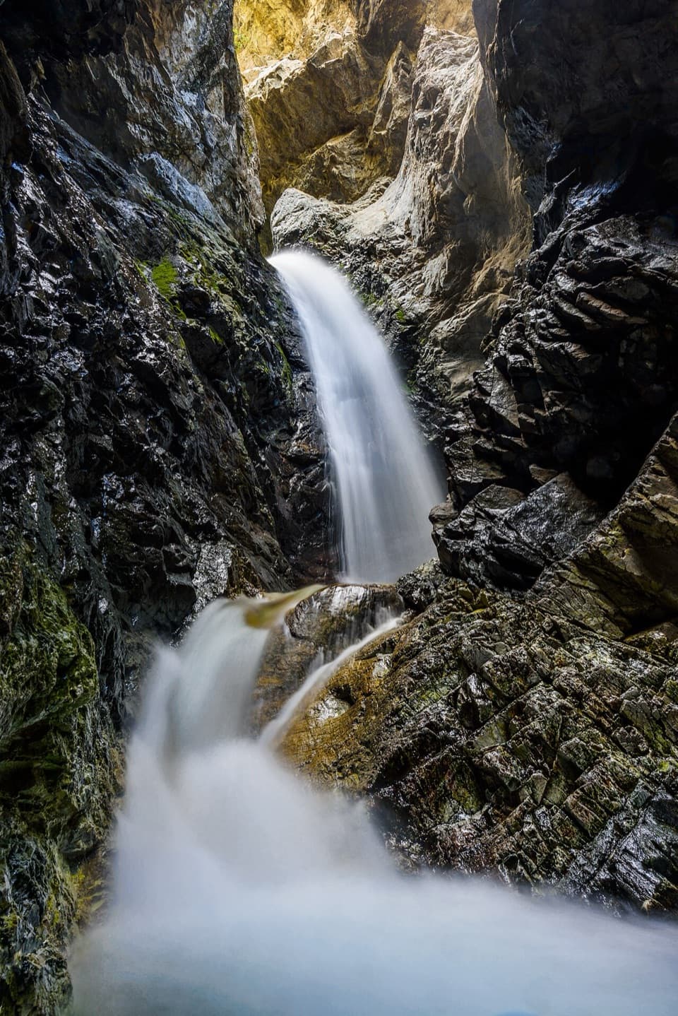 ModerateZapata Falls Trail1 mi · 45 min · 8.3 mi awayA mile round trip ends at falls tucked inside a rock cleft.
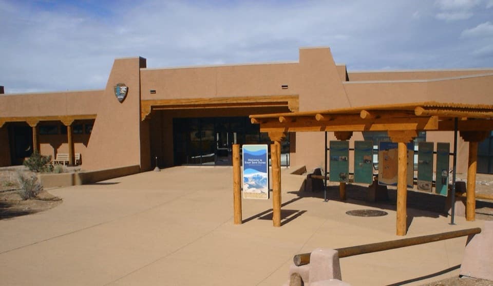 Visitor center · 0.2 mi awayGreat Sand Dunes Visitor CenterStart here for ranger advice, a dune film, and maps.
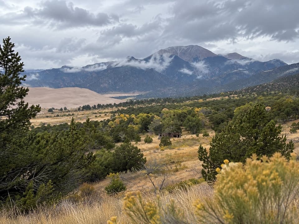 Sight · 0.3 mi awayWellington HomesteadA cabin remnant puts the dunes’ homesteading past in view.
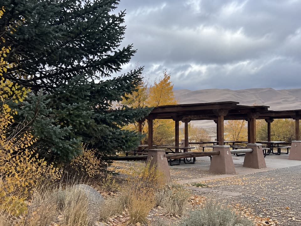 Picnic area · 0.5 mi awayDunes Picnic AreaShaded tables make this a handy break beside the seasonal creek.
 Beach · 0.7 mi awayMedano CreekSmall waves roll across the sand below the dunes when it runs.
 Sight · 0.7 mi awayDunes AmphitheaterA seasonal ranger-talk venue beside Piñon Flats and the dunes.
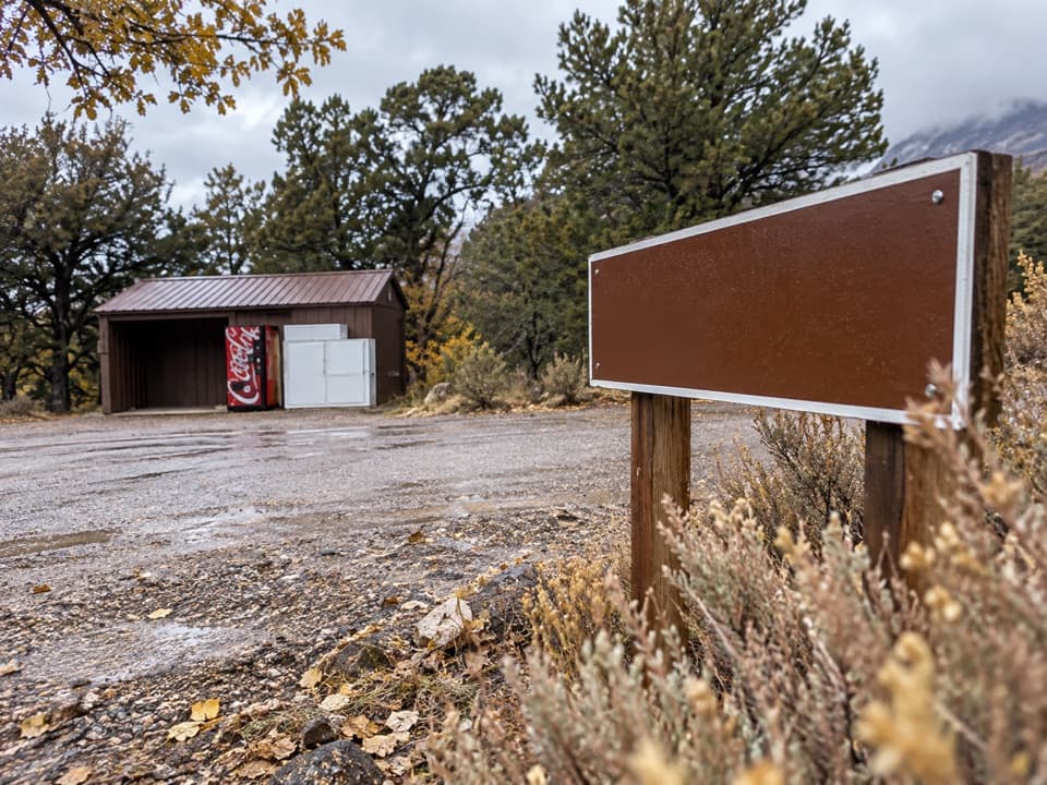 Store · 0.8 mi awayPiñon Flats Campground StorePick up ice, firewood or snacks between campground loops.
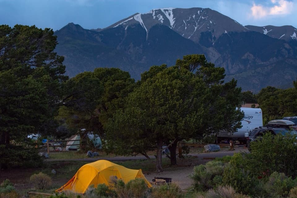 Campground · 0.9 mi awayPiñon Flats CampgroundA piñon-and-sagebrush base camp near the dunes.
 Entrance station · 0.9 mi awayGreat Sand Dunes Entrance StationGet your park pass at the booth when it’s staffed.
Parkwolf’s Great Sand Dunes ranking

The audio tour guide for the drive, plus offline maps, trails, and wildlife heatmaps for when the signal drops.