
Place · 0 mi away
Challenging
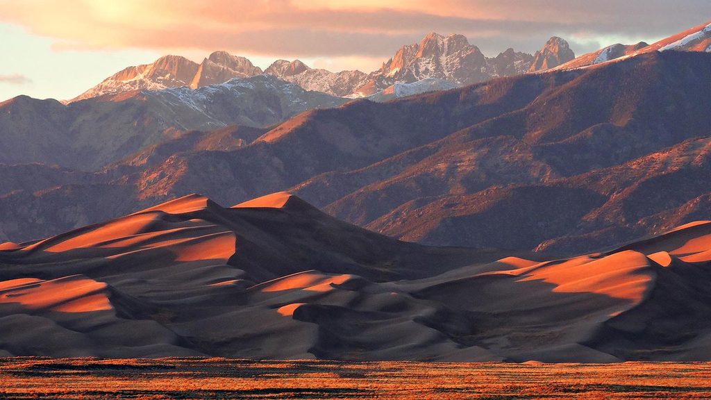
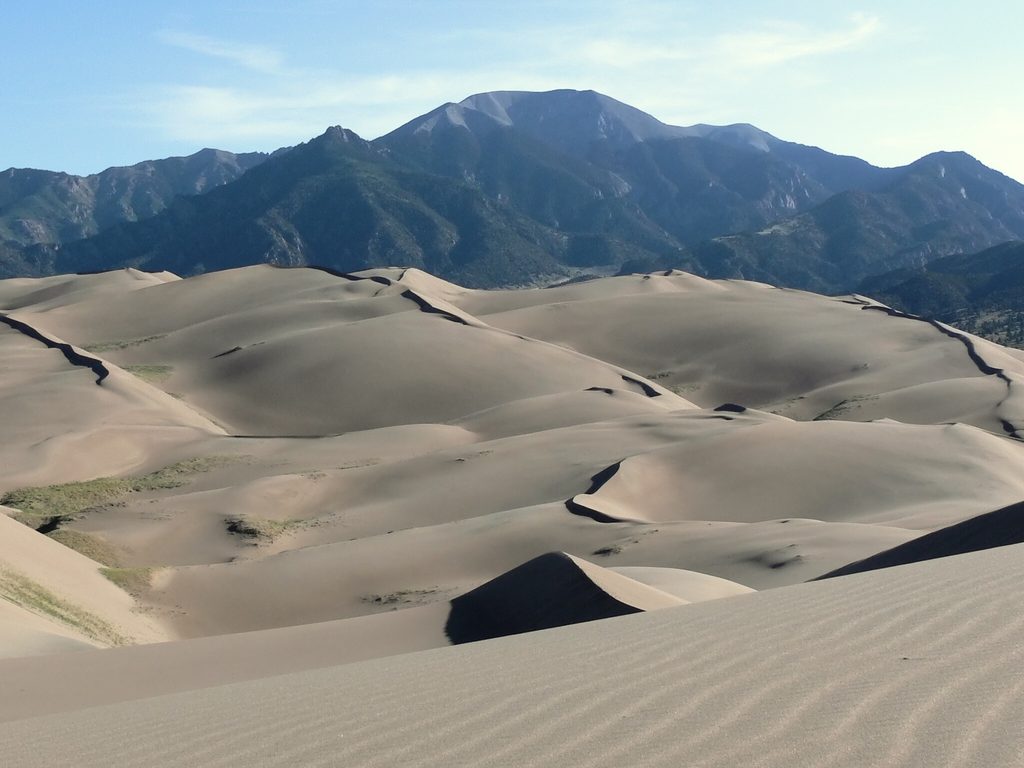
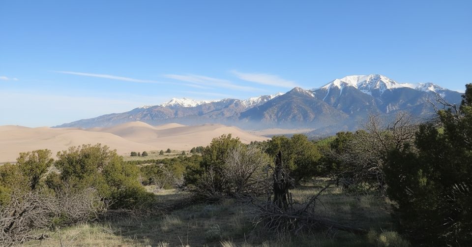
Star Dune is a pyramid-shaped giant in the heart of the dunefield, tied for the tallest in North America at about 741 feet from the valley floor. There’s no built trail here—the wind is in charge—so this is a choose-your-own-ridge adventure across soft sand with big, shifting views and a true sense of scale. Expect solitude once you leave the busy first ridge.
Most hikers start from the Medano Creek (aka Dunes) Trailhead and immediately angle for ridgelines. The most efficient approach is to climb to High Dune first, then continue the chain of ridge crests toward Star Dune; ridges are firmer and spare you the constant up-down of crossing bowls. A popular loop returns by dropping from Star Dune to the flats and following Medano Creek back. Alternatively, you can follow the creek out first until Star Dune is clearly in view, then pick a ridge to the summit.
Mileage varies with your line. A direct out‑and‑back to Star Dune is about 7.1 miles total. The High Dune + Medano Creek loop runs roughly 7.5 miles. Travel in sand is slow and conditions matter: some hikers clock around 3–4 hours for the out-and-back, while combining High Dune or taking lots of breaks can push the day well longer. Plan conservatively.
There are no markers—download a map or GPX and trust ridges over straight lines. Winds often ramp up on the higher crests and can sandblast exposed skin; eye protection and a face covering help. Summer sand can get brutally hot (think scorch-your-boot-soles hot), and thunderstorms bring lightning risk on the ridges. In winter, expect frigid temps and occasional blizzards. Medano Creek flows seasonally (typically winter through spring into early summer), and its firm margins can make for easier walking on the return.
Star dunes form where winds blow from multiple directions over the year, building a summit with several ridges radiating from the top. The broader dunefield is fed and “recycled” by wind and the park’s creeks: sand blown toward the mountains is caught, carried around, and re‑delivered to the flats, where winds push it back into the dunes. While individual crests shift, the overall shapes and positions of major ridges are surprisingly stable over time—one reason ridge-based navigation works well.
Start very early for cooler sand, calmer winds, and softer light. Bring 2–3+ liters of water per person, sun layers, sunglasses, and a wind shell; gaiters and trekking poles make sand travel less annoying. Stay on sand to avoid trampling vegetation that anchors the sand sheet. If you love the dune experience but want a shorter day, tag High Dune and turn around; if you want the full “sea of sand” feel and solitude, make Star Dune your goal. Standard park entry fees apply.
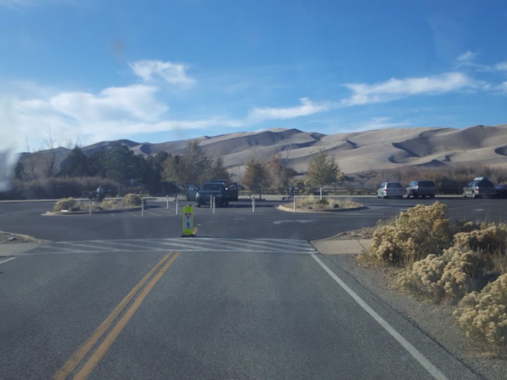
Park at the Medano Creek (Dunes) Trailhead lot by the main dunefield and head toward the sand.
No shade, hot sand (can be extremely hot in summer), strong winds and blowing sand on ridges, afternoon lightning, winter blizzards; no marked trail—use ridgelines and offline maps/GPS; seasonal creek flows may alter the easiest approach.
Place · 0 mi away
Place · 0 mi away
Place · 0.5 mi away
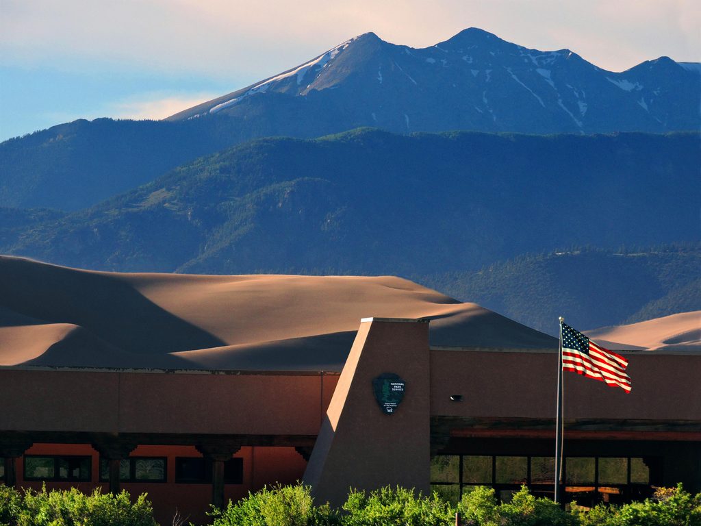
Place · 0.5 mi away
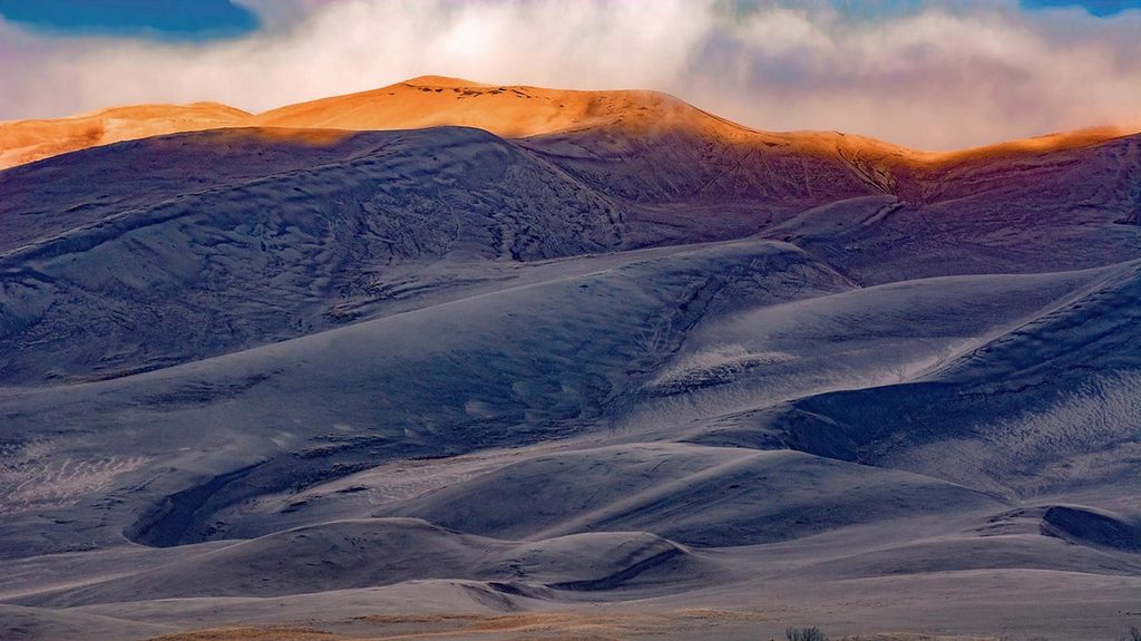
Challenging · 0 mi away
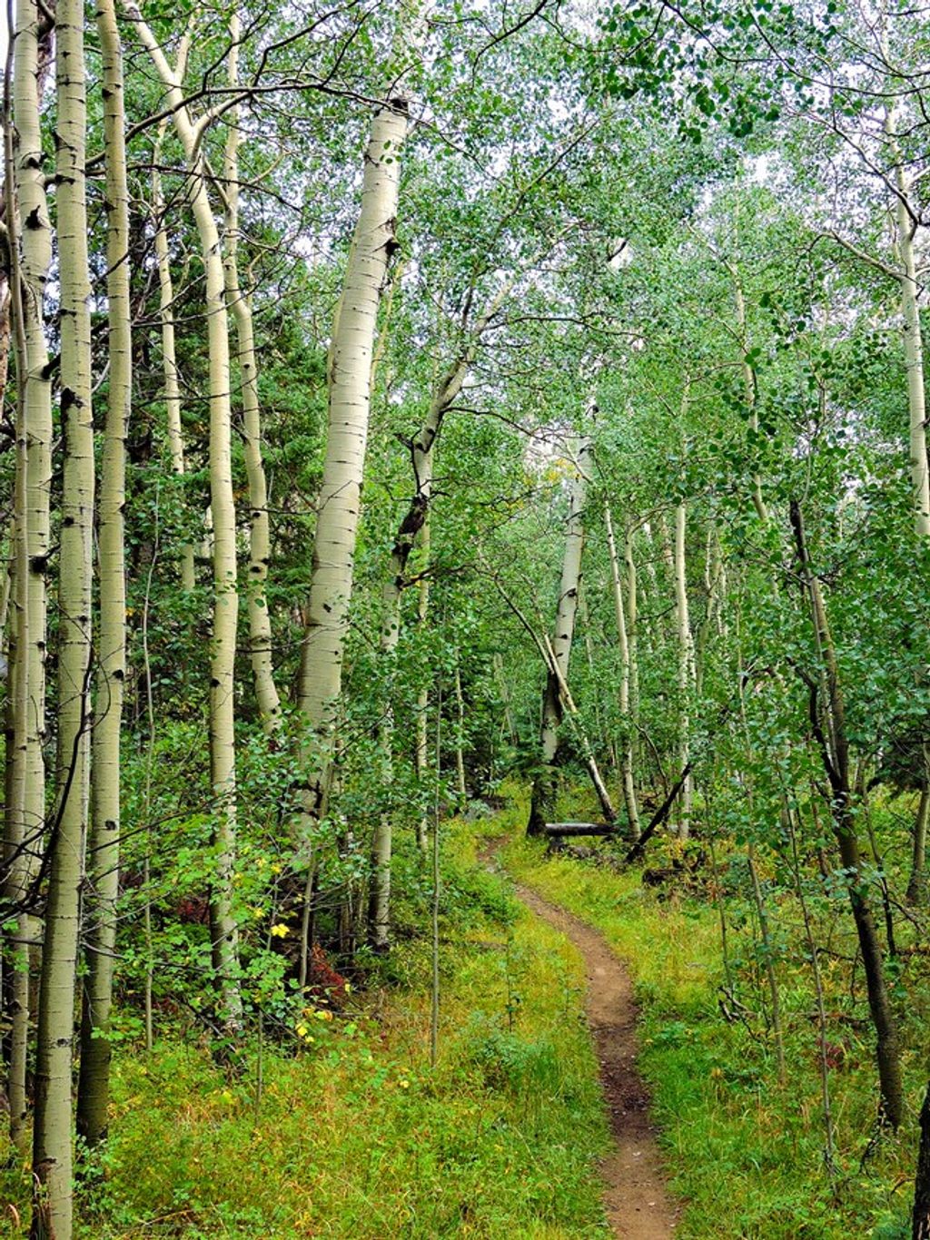
Moderate · 0.6 mi away
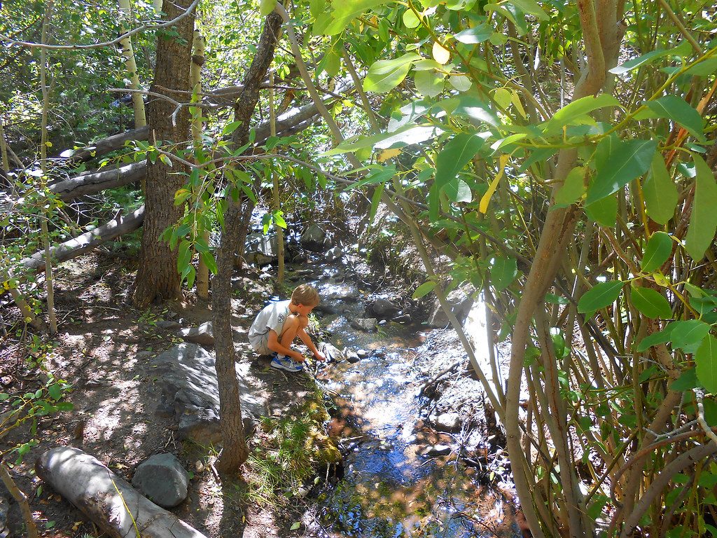
Easy · 0.6 mi away
Easy · 0.6 mi away

Parkwolf Tour Guide
