Parking
Use the Montville/Mosca Pass Trailhead parking area just north of visitor-center parking. Starting from the visitor center adds a roughly quarter-mile connector each way.
#8 of 17 trails in Great Sand Dunes
Great Sand Dunes National Park, CO
A shady creek loop with dunes views and a trace of Montville.
Overview
Map & elevation
Plan your hike

The highest, rockiest slopes around here are a summer buffet for grizzly bears.
Great Sand Dunes Tour Guide
Parkwolf is a GPS audio tour guide for Great Sand Dunes National Park. As you drive, it chimes in with what’s ahead: hidden gems, upcoming stops, history, geology, and wildlife, right through your car’s speakers.
Recorded for this trailhead
Montville Nature Trail“You're nearing the Montville Nature Trail, a good choice for a short, shaded walk beside Mosca Creek.”
Plays as you drive up to this trailhead in the Parkwolf Great Sand Dunes Tour Guide.
More stories near here in the app
“Fantastic app with many points of information… It’s great to just turn on while you’re driving and it gives you an audio tour of the national Park. We love it!!!!”


Trail guide
Montville Nature Trail is a 0.5-mile loop through shady forest beside Mosca Creek, with a short climb to views of the dunes, valley and Mount Herard. Allow about 30 minutes for roughly 200 feet of climbing. It’s a good change of scene after time on the open sand, and one of the park’s easiest forest walks. Rocks and uneven spots mean it isn’t wheelchair accessible, though NPS recommends it for a wide range of ages. Leashed pets are allowed.
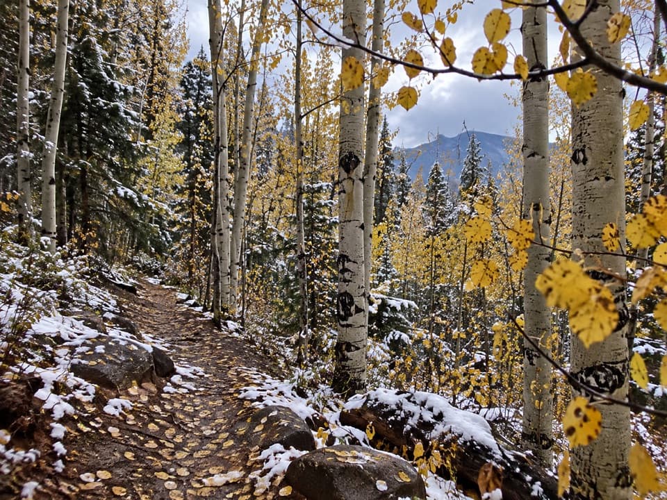
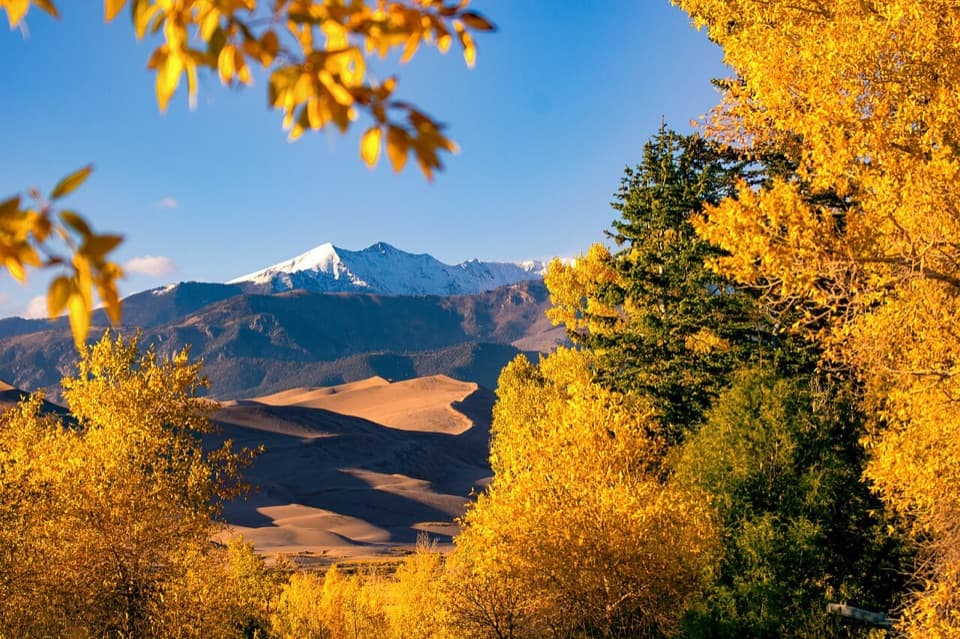
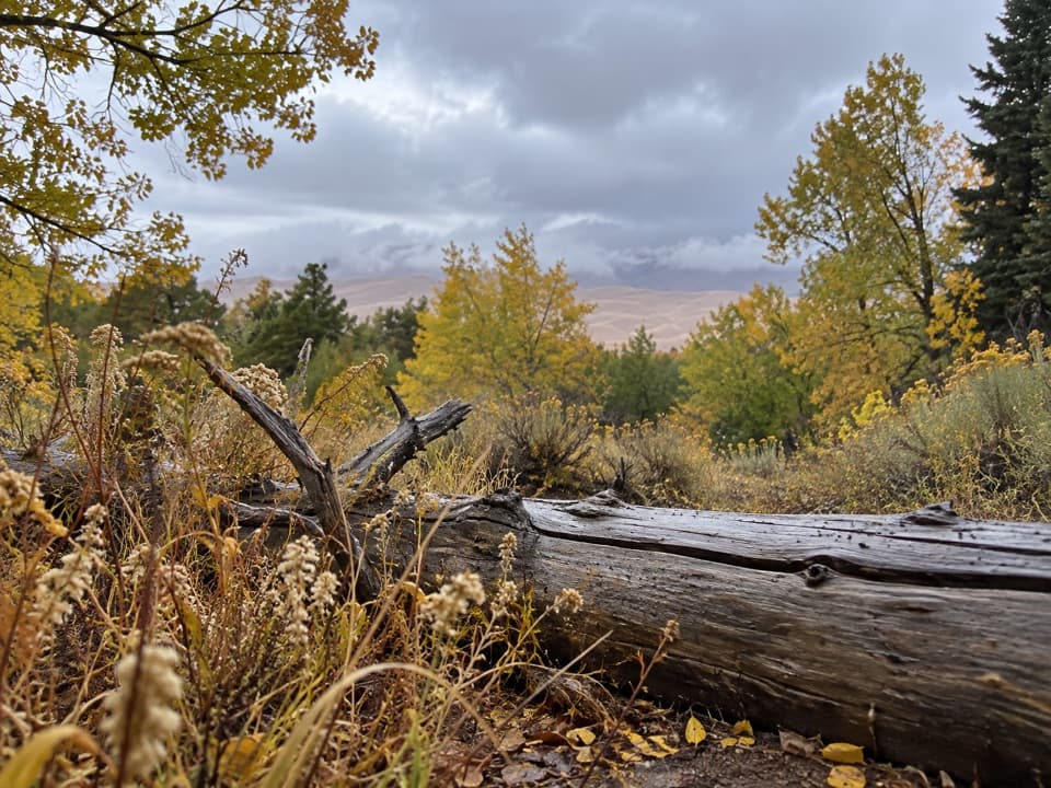
The loop branches near the Montville/Mosca Pass Trailhead. Take the right fork counterclockwise to follow the numbered markers. You stay under trees for much of the walk, then reach the high point and a view toward Mount Herard, the valley and the dunes. In fall, golden cottonwoods can frame the dunes and snowy high peaks. The route crosses Mosca Creek on a bridge near the Mosca Pass junction and crosses the creek again on the return. At junctions for Mosca Pass and Wellington Ditch, stay with the Montville markers to finish the short circuit.
Montville was a small late-1800s settlement with about 20 houses at its height. A trailhead booklet and numbered stops explain the old community as you walk. Summer brings wildflowers, and the creekside trees turn color in fall; birds and mammals are around in every season.
The Montville/Mosca Pass Trailhead has a separate parking area just north of the visitor-center parking. Starting at the visitor center adds a roughly quarter-mile connector each way, or about half a mile to your outing. NPS says the trail is generally hikeable year-round, though small snowdrifts can linger in winter. No reservation or separate trail fee is required.
Wildlife
 16 sightingsElkMost seen around 7 PMSighting map
 21 sightingsPronghornMost seen around 7 PMSighting map
 12 sightingsWild TurkeyMost seen around 7 AMSighting map
 153 sightingsMule DeerMost seen around 6 AMSighting map
 38 sightingsRavenMost seen around 9 AMSighting map
 15 sightingsRed-tailed HawkMost seen around 11 AMSighting map
Sighting maps show where each species has been reported across Great Sand Dunes. Wildlife moves, so no sighting is guaranteed.
Keep exploring
 EasyWellington Ditch Trail2.2 mi · 1.3 hr · At the trailheadA quiet foothill walk with dune views and a 1927 irrigation ditch.
 ModerateMosca Pass Trail7 mi · 4 hr · At the trailheadA shady creek climb with dune views through the trees.
 EasySand Sheet Loop Trail0.3 mi · 30 min · 0.2 mi awayA quick grassland loop with signs, dunes, and mountain views
 ModerateDunes Overlook Trail2 mi · 1.8 hr · 1 mi awayA short foothill climb opens onto dunes and mountain views.
 ChallengingSand Ramp Trail11 mi · 7 hr · 1.7 mi awayAn 11-mile one-way crossing through sandy foothills to Sand Creek.
 EasySand Pit Trail1.2 mi · 1 hr · 1.7 mi awayA short trail to Medano Creek with Mt. Herard on the skyline.
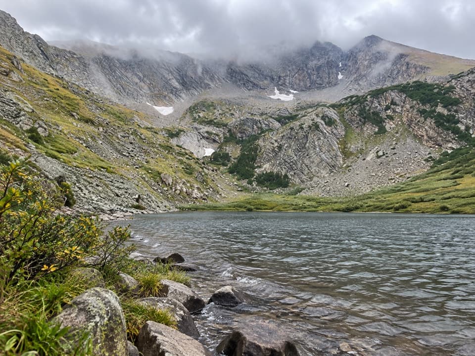 ChallengingMedano Lake via Medano Pass Primitive Road25.2 mi · 12.5 hr · 1.7 mi awayA long road-and-trail climb reaches Medano Lake beneath Mount Herard.
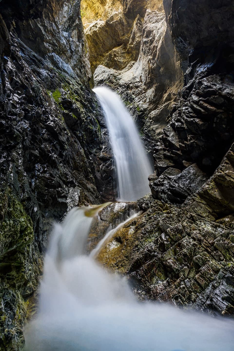 ModerateZapata Falls Trail1 mi · 45 min · 8.3 mi awayA mile round trip ends at falls tucked inside a rock cleft.
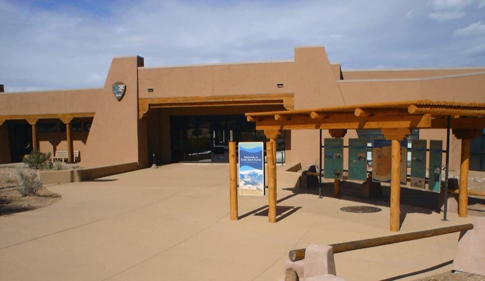 Visitor center · 0.2 mi awayGreat Sand Dunes Visitor CenterStart here for ranger advice, a dune film, and maps.
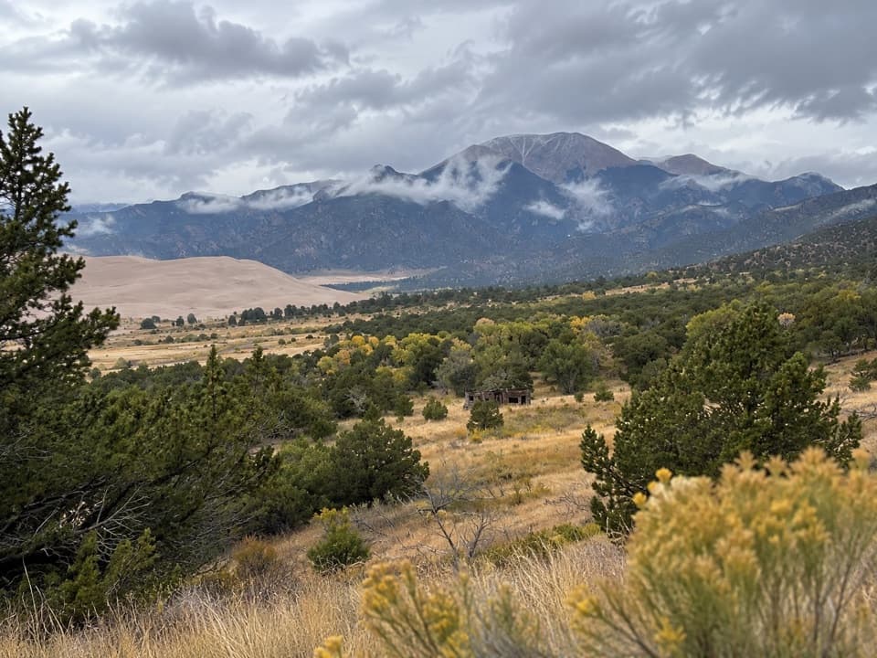 Sight · 0.3 mi awayWellington HomesteadA cabin remnant puts the dunes’ homesteading past in view.
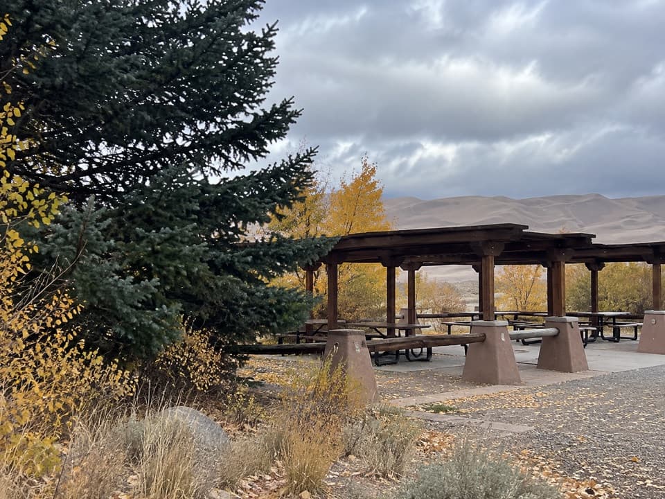 Picnic area · 0.5 mi awayDunes Picnic AreaShaded tables make this a handy break beside the seasonal creek.
 Beach · 0.7 mi awayMedano CreekSmall waves roll across the sand below the dunes when it runs.
 Sight · 0.7 mi awayDunes AmphitheaterA seasonal ranger-talk venue beside Piñon Flats and the dunes.
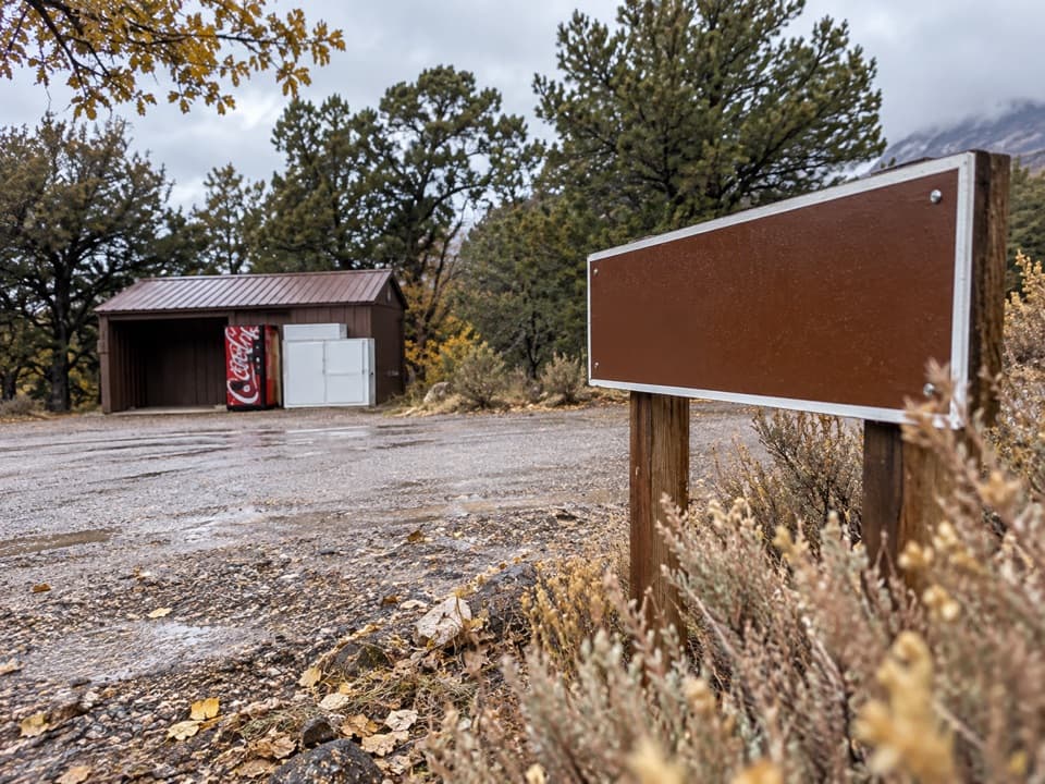 Store · 0.8 mi awayPiñon Flats Campground StorePick up ice, firewood or snacks between campground loops.
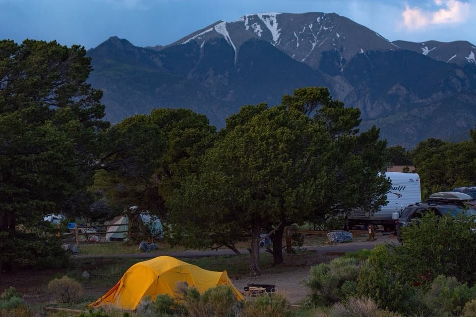 Campground · 0.9 mi awayPiñon Flats CampgroundA piñon-and-sagebrush base camp near the dunes.
 Entrance station · 0.9 mi awayGreat Sand Dunes Entrance StationGet your park pass at the booth when it’s staffed.
Parkwolf’s Great Sand Dunes ranking

The audio tour guide for the drive, plus offline maps, trails, and wildlife heatmaps for when the signal drops.