
Place · 2 mi away
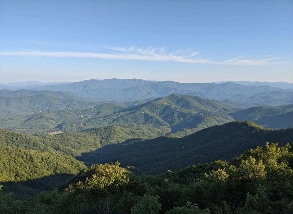
Lonesome Pine Overlook sits high on Beaugard Ridge along the Noland Divide, above the Deep Creek area near Bryson City. It’s a classic Smokies grind: steady, never‑technical climbing that trades sweat for sweeping ridgetop vistas.
From the overlook, you’ll look south over Bryson City in the Tuckasegee Valley and west across Fontana Lake to the Nantahala Range. Many hikers love the knife‑edge ridge just below the spur—those east‑and‑west views can be just as good or better, especially when leaves obscure parts of the overlook.
March through November is the sweet spot for trail conditions. Spring brings wildflowers low on the trail; fall lights up the ridges in color. Winter can offer the broadest vistas through leafless hardwoods, but plan daylight carefully. On weekends and holidays, arrive early—parking in Deep Creek can fill.
Keep an eye on the sky from the overlook and ridge; hikers occasionally report raptors, even bald eagles, riding thermals over the valley. You may also encounter signs of horse use near the top—watch your step and yield appropriately.
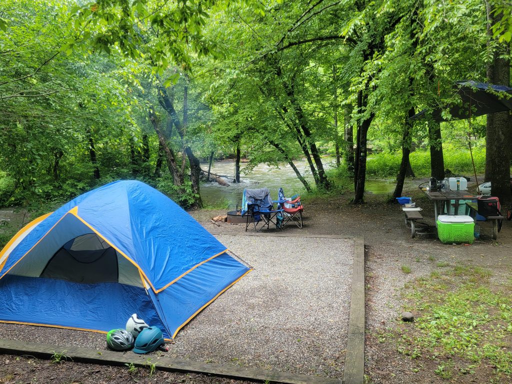
Start from the Noland Divide Trailhead across from Deep Creek Campground (Deep Creek area). There’s a large lot and restrooms nearby at the area facilities, but nothing on the trail. Bring ample water and snacks; trekking poles pay off on both the ascent and the descent.
A Park It Forward tag is required for vehicles parked more than 15 minutes in the park. Current prices: $5 daily, $15 weekly, $40 annually. Display it properly in your vehicle.
Strong hikers can continue north on Noland Divide or stitch a loop via Pole Road Creek and Deep Creek Trails. Designated backcountry campsites exist on Deep Creek if you turn it into an overnight; the overlook itself is day‑use only.
These ridges are carved into ancient sediments that were buried, metamorphosed, and thrust over younger layers during Appalachian mountain‑building. The hard metasandstones and slates here resist erosion, leaving the knife‑edge spines you’re hiking.
Place · 2 mi away
Place · 2 mi away
Place · 2.1 mi away
Place · 2.1 mi away
Easy · 2 mi away
Easy · 2 mi away
Easy · 2 mi away
Challenging · 2 mi away

Parkwolf Tour Guide
