Challenging

Sunkota Ridge Trail

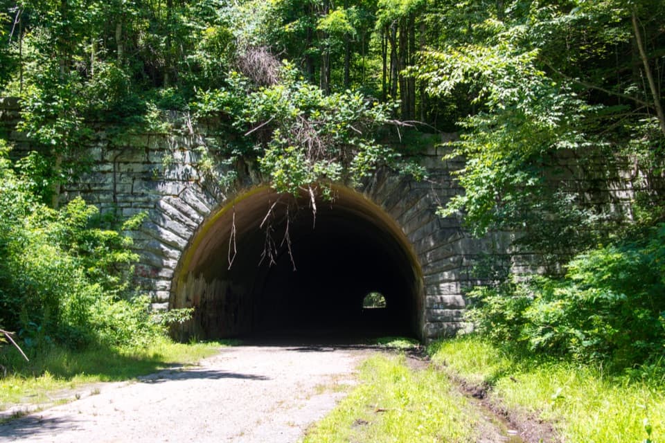
Quiet ridge walk above Deep Creek with waterfalls on the approaches
Sunkota Ridge Trail, Great Smoky Mountains National Park
Distance8.8 mi
Typical time5 hr
DifficultyChallenging
PetsNot allowed

Overview

Sunkota Ridge is a quiet, forested ridgeline above the Deep Creek area near Bryson City, NC. Expect sustained climbing to reach the ridge, rolling miles with pockets of seasonal views, and far fewer people than the park’s headline hikes. The ridge section itself is about 8.8 miles; most day hikers fold it into a loop from Deep Creek for a fuller experience.

Route Options

  • Deep Creek → Martin’s Gap → Sunkota Ridge → Deep Creek: roughly 13.6–13.7 miles total. A challenging loop shared with horses, often muddy in places, with multiple backcountry campsites along the way.
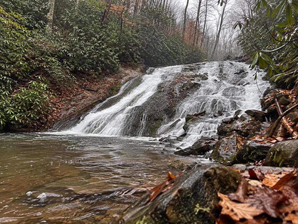
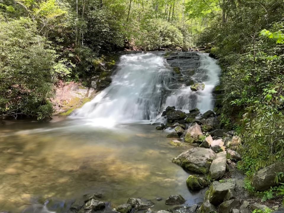
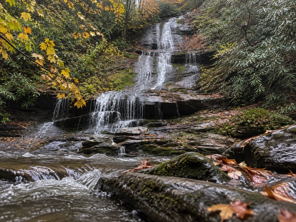
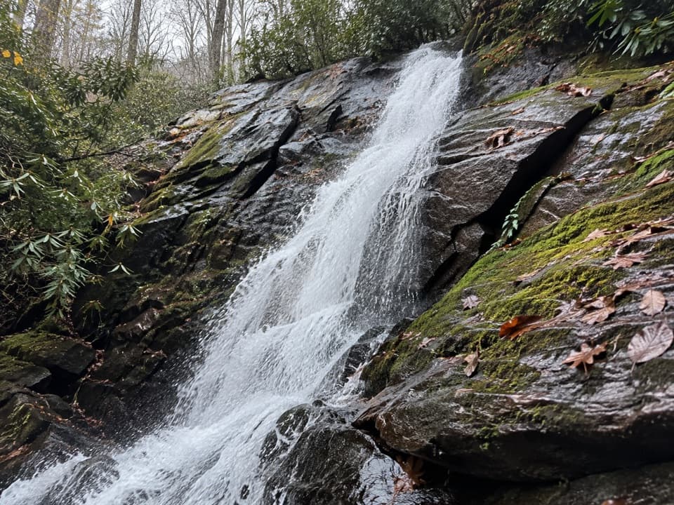
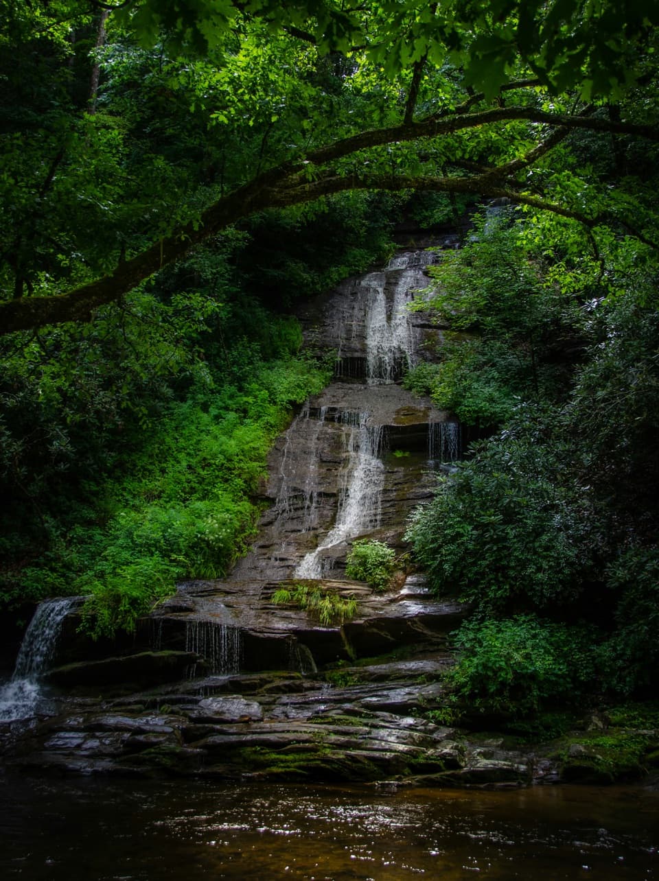
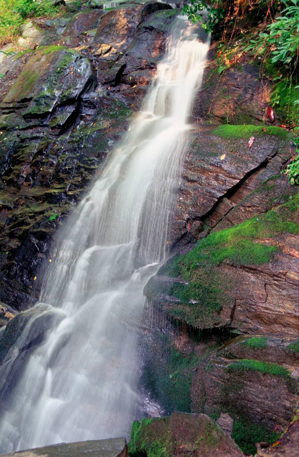
  • Indian Creek + Sunkota Ridge Loop: about 11.5 miles total and ~2,000+ feet of gain. You’ll pass Toms Branch Falls and Indian Creek Falls early, then climb to the ridge for quieter miles and occasional views.
  • Thomas Divide out-and-back to the Sunkota junction: ~9.3 miles total with a gentle ridgeline feel and limited water, good for solitude.

Trail Character

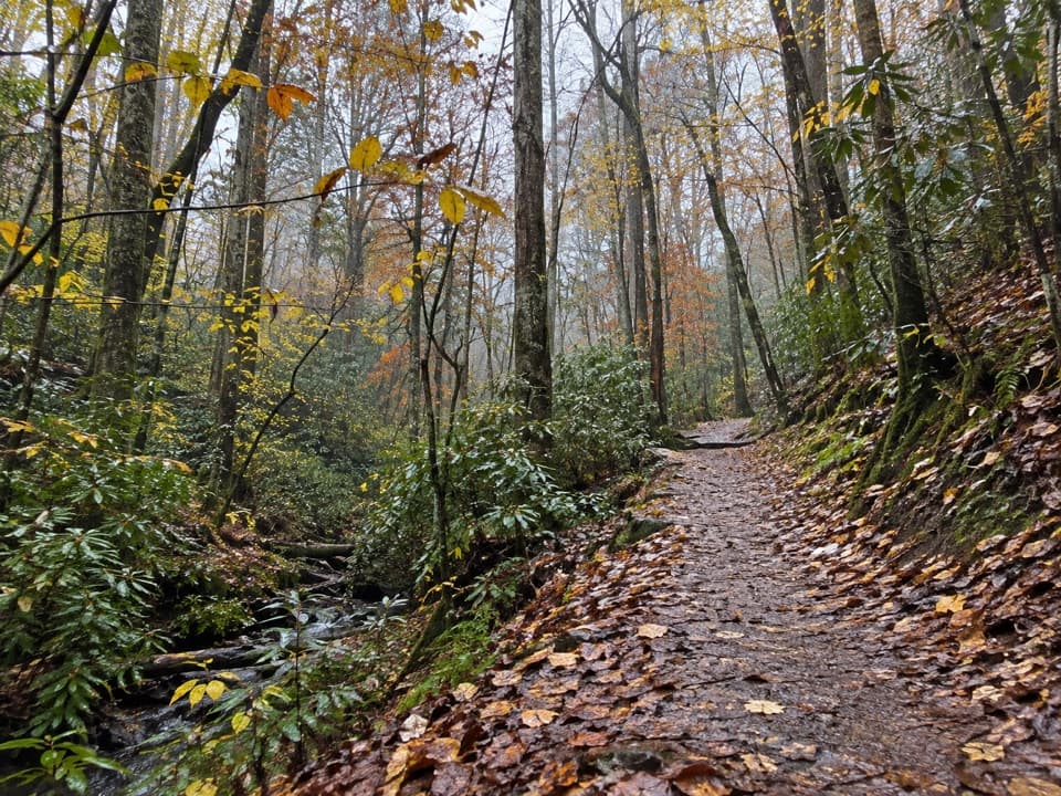
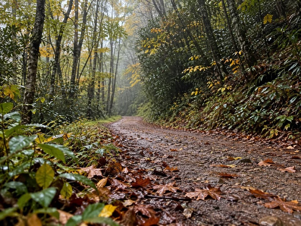
Once on the ridge, the tread is generally narrow and leaf- or pine-needle cushioned, with fewer roots and rocks than many Smokies trails. Lower Deep/Indian Creek approaches can be wet or muddy; the ridge is typically drier but can have blowdowns and a few eroded sections. This corridor also carries horse traffic, so expect manure and churned tread at times.

Nature Notes

The forest transitions from white pine into drier ridge hardwoods—oak, maple, dogwood, sourwood, sassafras, pignut hickory, and yellow poplar. Look for galax, trailing arbutus, crested dwarf iris, and rue anemone woven among rhododendron and mountain laurel. Regionally, the Smokies are built from ancient, metamorphosed sedimentary rocks uplifted during Appalachian mountain building; resistant metasandstone helps shape the high peaks and nearby waterfalls you’ll visit on the approach trails. A fun tidbit: “Sunkota” is thought to echo a Cherokee word for “apple.”

Best Time to Hike

Year-round, but spring through fall shines—waterfalls are lively, wildflowers pop, and temps are comfortable. Summer brings bugs and spider webs; start early. Winter offers the clearest ridge views but watch for ice on shaded slopes. Weekends and holidays fill Deep Creek parking early—arrive at dawn for easier parking and quiet waterfall time.

Logistics and Rules

Start from the Deep Creek trailhead/campground area just north of Bryson City. A parking tag is required (daily, weekly, or annual options; not needed if you’re under 15 minutes). Dogs are not allowed on this trail. Day hiking needs no permit, but backcountry camping does—reserve specific sites if you’re backpacking. Water is plentiful along Deep/Indian Creek but scarce on Sunkota/Thomas Divide—carry what you need for the ridge.

Tips

  • Clockwise on the 13.7-mile loop keeps the waterfall payoff toward the end.
  • Carry 2–3 liters per person for full loops; refill before committing to the ridge.
  • Check recent reports for blowdowns. Cell service is spotty; bring a paper map or offline GPS.
  • Yield to horses and step off the trail calmly; your voice carries far on the ridge.

Pros

  • Soft, root-light ridge tread that’s kinder on feet and knees
  • Reliable solitude once you’re on the ridge away from Deep Creek
  • Easy add-on waterfalls if you loop via Deep and Indian Creek

Cons

  • Shared with horses—expect mud and manure in stretches
  • Limited water once on the ridge; plan refills before the climb
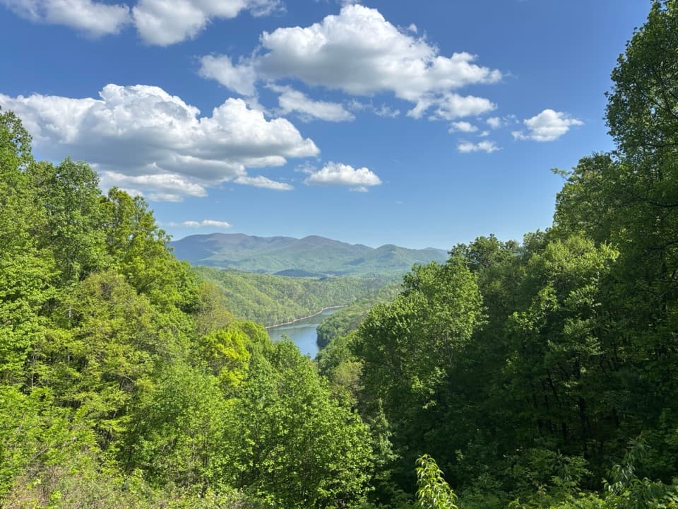
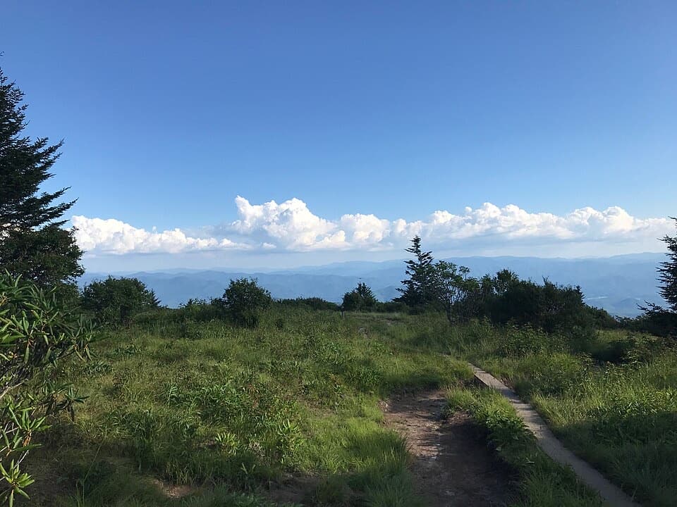
  • Views are mostly seasonal with leaf-on foliage

Parking

Park at the Deep Creek trailhead/campground near Bryson City; arrive early on weekends. A parking tag is required (daily, weekly, or annual; not needed if stopped under 15 minutes).

Caution

Sustained climbs, limited water on the ridge, horse traffic with mud/manure, occasional blowdowns and eroded sections, spider webs in warm months, and potential winter ice. Be aware of feral hog activity and give wildlife space.

The Parkwolf tour guide sitting on a phone mounted in a car

Parkwolf Tour Guide

Like a tour guide in your car.

Bring Great Smoky Mountains trail research into the car, with offline maps and stories that play as you drive.Download Parkwolf on the App Store