Pros & cons
PROS
- Peaceful, low‑traffic destination with a true backcountry feel
- Backcountry Campsite 52 just beyond the summit with a spring nearby
CONS
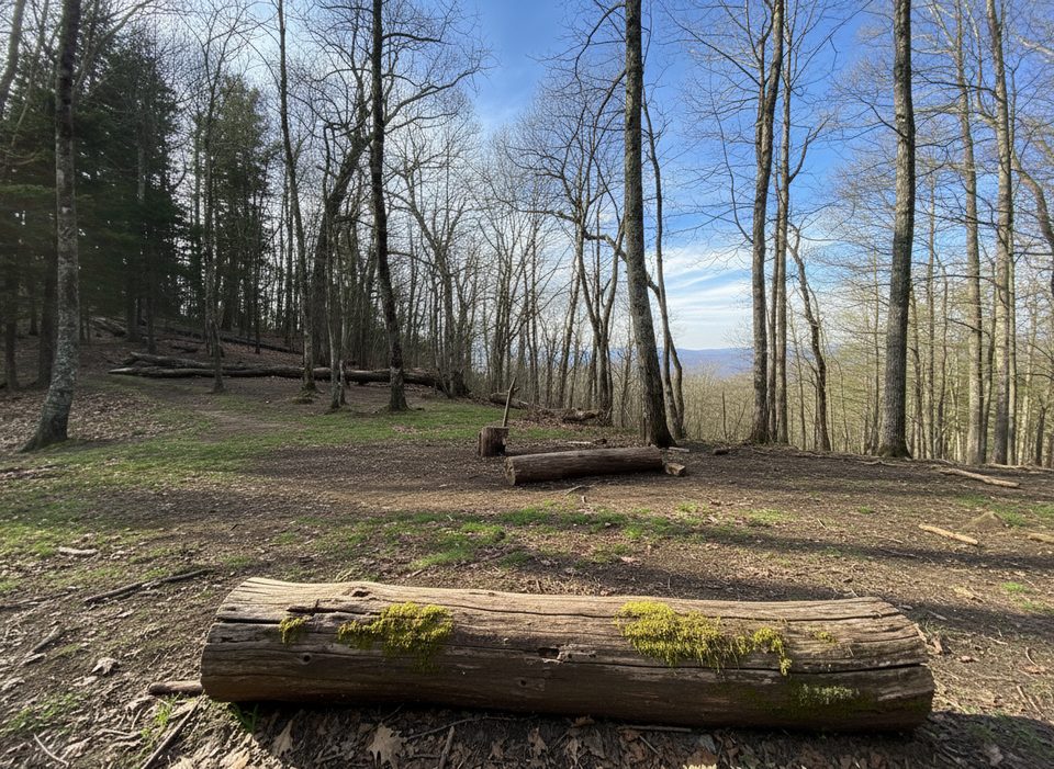
- Little to no views from the reforested summit
- Long, relentless climb with occasional muddy, horse‑used sections
Overview
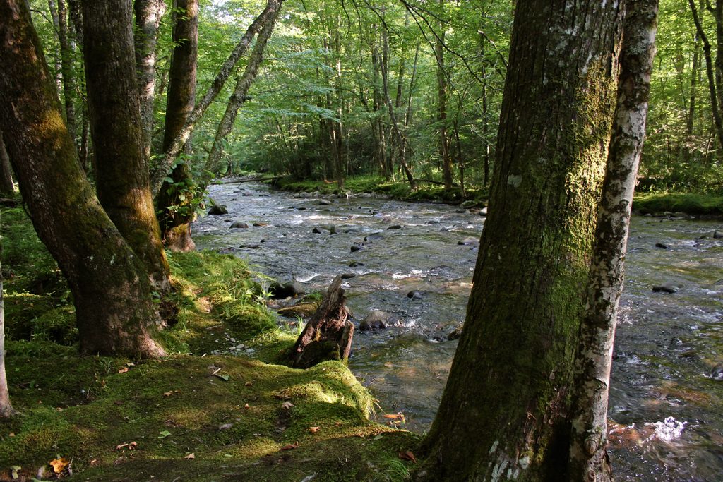
Newton Bald is a misnomer these days—the former grassy bald has reforested, so don’t expect sweeping views. What you do get is quiet, a steady forest climb, and rich plant and fungi life along the way. It’s a great pick if you value solitude and a classic Smokies backcountry vibe over big vistas.
What the hike is like
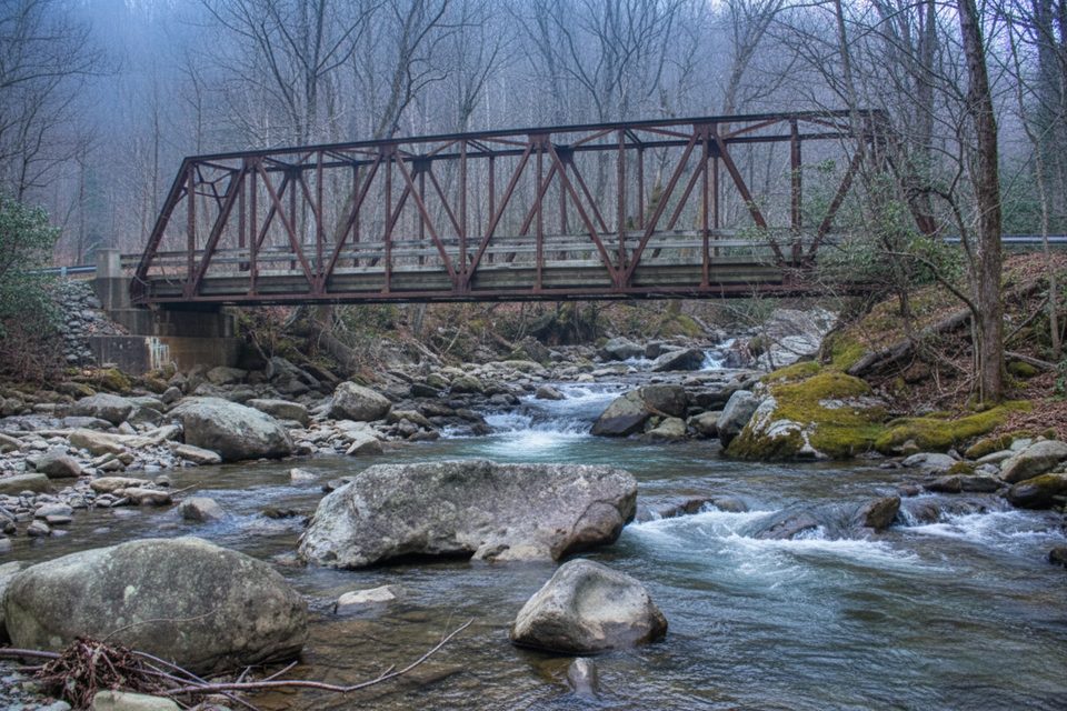
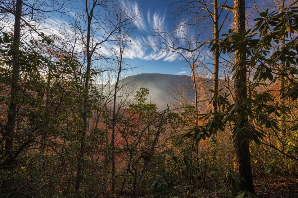
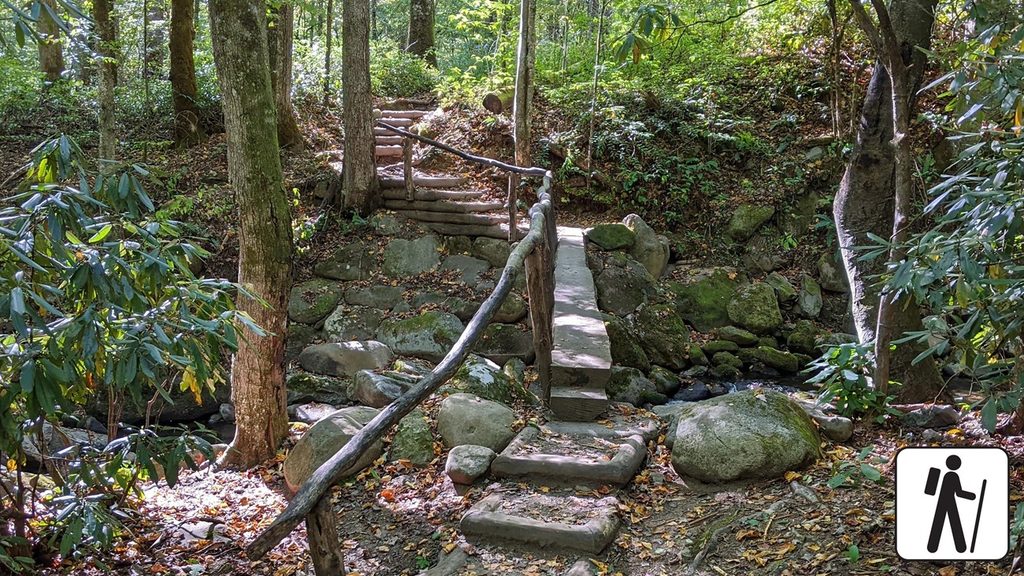
Most people reach Newton Bald from the Smokemont side via the Newton Bald Trail. The grade is steady and well‑built, but it keeps coming for miles, making the descent just as taxing on the knees as the climb is on your lungs. Expect leaf‑covered tread, switchbacks, a couple of rock‑hop stream crossings, and occasional mud where horses travel. Views at the top are limited to forest windows, with the best glimpses during leaf‑off.
Routes that make sense
- Straight shot: Out‑and‑back to the summit area or the Mingus Creek/Thomas Divide junctions for 9–11 miles total, depending on turnaround point.
- Bigger days: Link Newton Bald with Thomas Divide for a longer ridge outing. Backpackers often build multi‑day circuits in the Deep Creek–Thomas Divide–Newton Bald area to keep crowds down and mileage up.
Camping and water
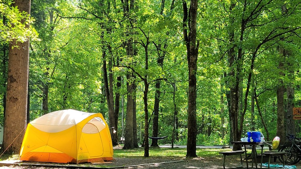
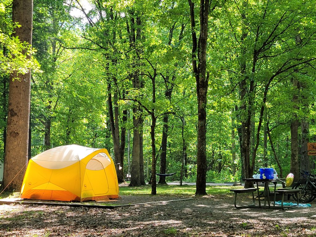
Backcountry Campsite #52 (Newton Bald) sits just beyond the summit. A steep side trail drops to a spring—bring enough capacity to make one trip worth it and always treat your water. Permits are required, and you must camp only at designated sites.
Wildlife and what you’ll see
This is classic Smokies forest, so keep an eye out for birds, seasonal wildflowers in spring and summer, and a surprising variety of mushrooms later in the year. Black bears are around; give them space, secure food, and follow park rules.
Best time to visit
March through November sees the most hikers, with spring wildflowers and summer greenery. If you care about any semblance of a view, aim for late fall through early spring when the leaves are down. Start early to bank time for the long climb and descent, and go on weekdays to lean into the solitude.
Where it is
35.5490, -83.3423Tips for Newton Bald
- 01Trekking poles pay off—long, steady grade up and a knee‑pounding descent.
- 02Carry ample water; there’s a mid‑trail source and a spring near Campsite 52, but always filter.
- 03Leaf‑off months offer the best (still limited) glimpses near the top and around Camp 52.
- 04Looping with Deep Creek and Thomas Divide makes a great backpack; plan a shuttle or road‑walk connector.
- 05Campsite 52 is the designated backcountry site for this area (see [tnlandforms.us](https://tnlandforms.us/gsmnp/m.php?wpt=BC052); for a representative loop idea, see [hikingproject.com](https://www.hikingproject.com/trail/7030661/deep-creek-to-newtons-bald-loop); leaf‑off view reference from camp: [hikingproject.com](https://www.hikingproject.com/photo/7029702/camp-52-newton-bald-offers-decent-views-when-the-leaves-are-off-the-trees)).
Near Newton Bald
All places →All trails →
1.4 mi awayCollins Creek Picnic AreaShady creekside picnic loops with 182 tables and a group pavilionPicnic Table · Restroom
1.8 mi awaySmokemont Loop TrailRiverside warmup, then a stout climb to quiet Smokies viewsModerate · 6.2 mi · 3.3 hr
1.8 mi awaySmokemont Nature TrailShady 0.6-mile loop by Smokemont Campground with bridges and bloomsEasy · 0.6 mi · 18 min
1.9 mi awaySmokemont CampgroundWooded, riverside basecamp with year‑round sites and easy trail accessCampground · Restroom
1.9 mi awaySmokemont Group CampgroundGroup-friendly riverside basecamp with trails from your doorstepCampground · Restroom
1.9 mi awaySmokemont Riding StablesGuided rides to a waterfall and river crossing, plus wagon toursRestroom · Parking
2 mi awayBradley Fork TrailGentle creekside miles to bridges, cascades, and a quiet lunch spot.Moderate · 9.6 mi · 4.5 hr
2.7 mi awayKephart Prong TrailCreekside hike with CCC relics and log bridges to a backcountry shelterModerate · 4 mi · 2.5 hr