Pros & cons
PROS
- 182 picnic sites with tables and built-in charcoal grills
- Large reservable pavilion (~70 seats) for group gatherings
CONS
- Open seasonally; listed closed for 2025
- Charcoal-only grills—no wood fires
Overview
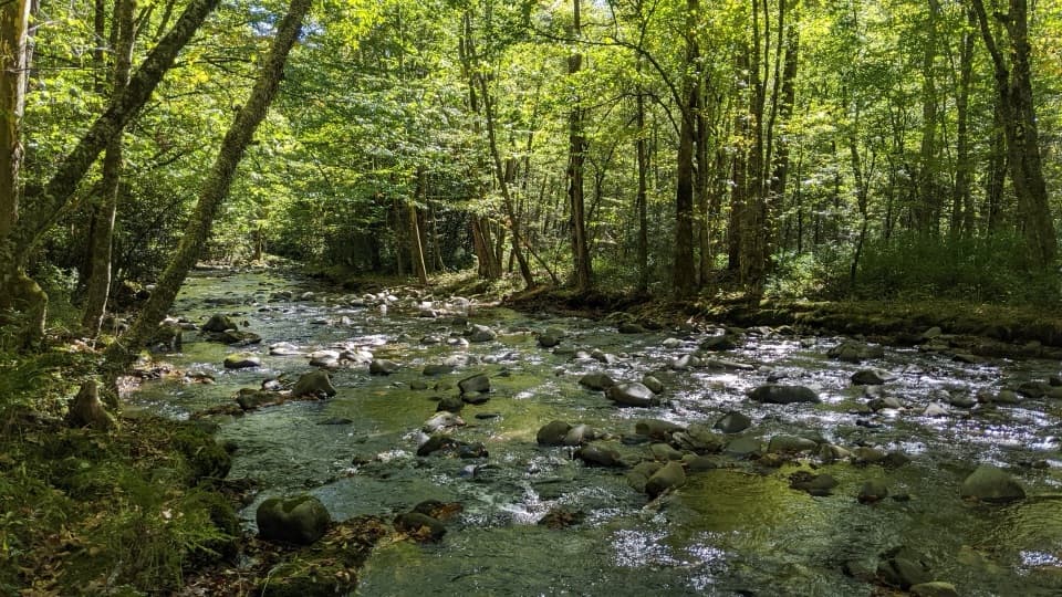
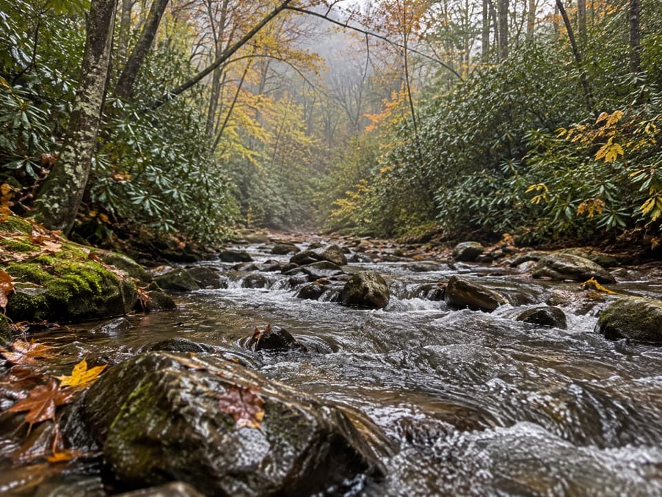
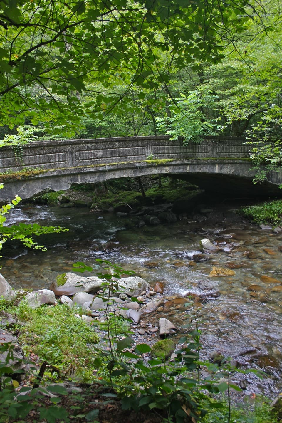
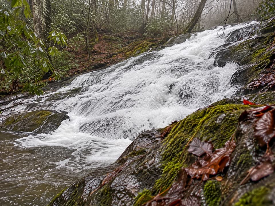
Shady, creekside, and big—the Collins Creek Picnic Area sits at 2,473 feet along its namesake stream and is one of the park’s largest day‑use picnic spots. It’s known for a calm vibe, lots of table choices, and easy creek access that makes lunch stops feel unhurried.
What You’ll Find
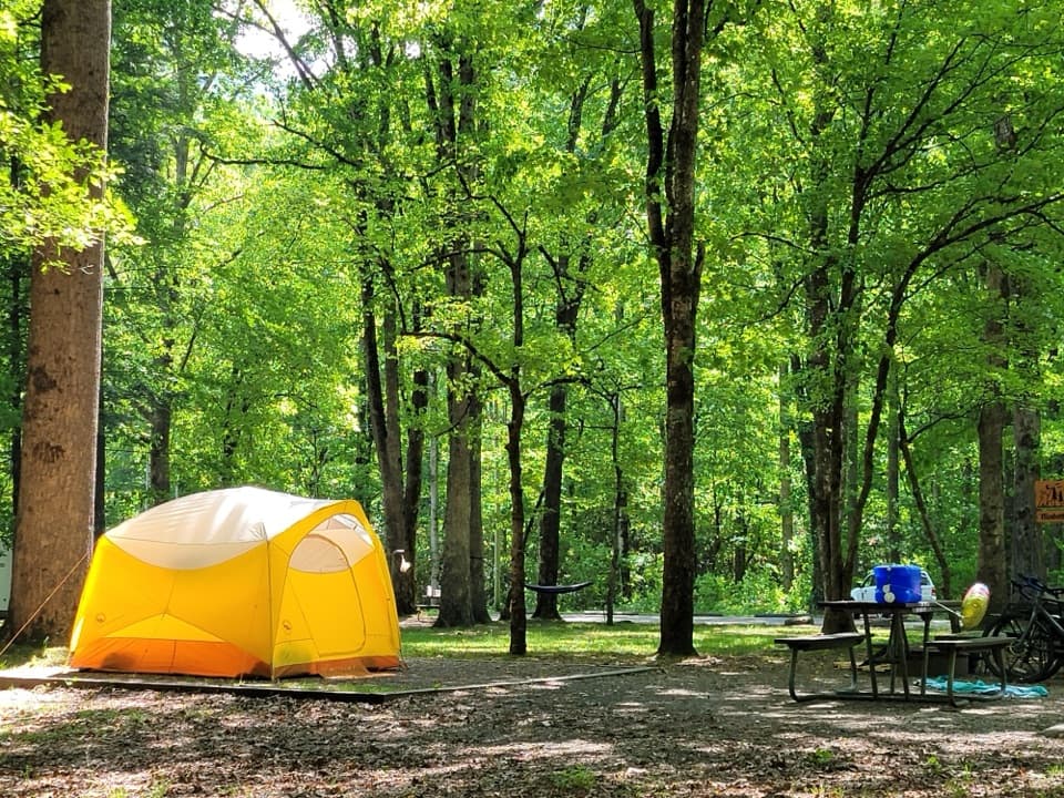
- 182 individual picnic sites, each with a table and a raised charcoal grill.
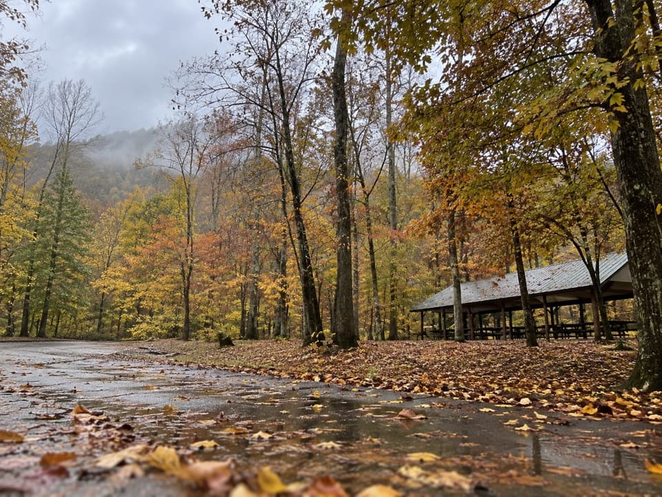
- A reservable pavilion that seats about 70 (15 tables, four grills). Impromptu use is fine when it’s not reserved.
- Seasonal restrooms with flush toilets (open weather permitting). Potable water is at the restrooms, not at the pavilion.
- Plenty of parking within the picnic loops.
- Pets allowed on leash in the picnic area.
Rules That Matter
- Charcoal fires only in the provided grills; wood fires aren’t allowed.
- A Park It Forward parking tag is required if you’re parked more than 15 minutes.
- Clean up thoroughly and use bear-proof trash cans—black bears are active here.
- Fishing is popular in Collins Creek and nearby waters; bring a valid Tennessee or North Carolina fishing license.
- Weddings/receptions need a separate permit; decorations mustn’t damage structures and must be removed. No commercial activity/sales.
Short Strolls & Nearby Trails
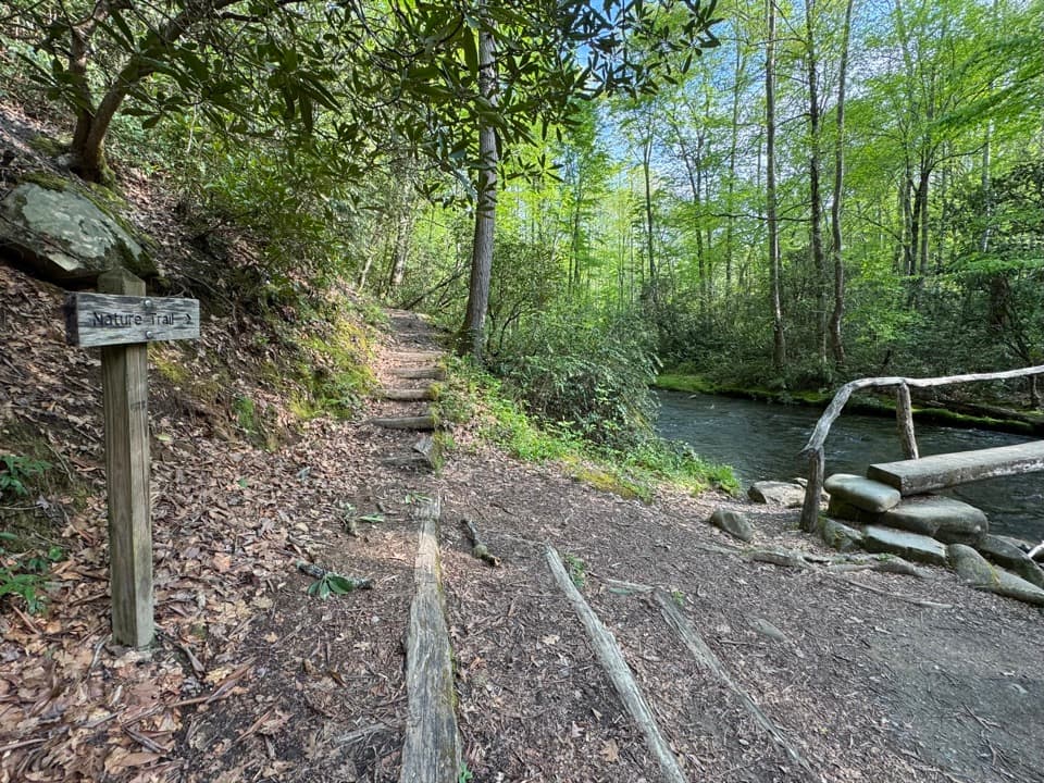
A short “quiet walkway” begins near the far picnic shelter and follows Collins Creek—perfect for a peaceful leg‑stretch and spring wildflowers. For longer hikes, nearby trailheads include Smokemont Loop, Bradley Fork, and Newton Bald (they have their own parking).
Getting There & Easy Pairings
Collins Creek sits just off US‑441/Newfound Gap Road, about eight miles north of Cherokee, NC, and close to the Oconaluftee area. It pairs well with the Oconaluftee Visitor Center and Mountain Farm Museum, plus historic Mingus Mill.
Hours & Season
Open seasonally from early April to late October. From late April to early September it closes at 8 p.m.; otherwise it closes at sunset. Restrooms operate seasonally as well.
Best Time to Visit
When open, spring brings wildflowers along the creek; summer’s leafy canopy keeps things cool and shaded. Midday picnics work well thanks to the shade, and it’s generally a peaceful stop even on busy park days. If you want a pavilion date in peak months, reserve as early as you can.
2025 Status & Alternatives
For 2025, Collins Creek Picnic Area is listed as closed. Good nearby alternatives include Deep Creek (open year‑round with a similar‑size pavilion), Big Creek (quieter, seasonal), and Heintooga (seasonal near the Blue Ridge Parkway). On the Tennessee side, consider Cosby, Look Rock, Greenbrier (year‑round), or Metcalf Bottoms (year‑round with seasonal facilities).
Where it is
35.5686, -83.3371Tips for Collins Creek Picnic Area
- 01Bring charcoal—wood fires aren’t permitted in the grills.
- 02Water is available at the restrooms, not at the pavilion—bring jugs for groups.
- 03Display a Park It Forward parking tag if you’ll be parked over 15 minutes.
- 04Reserve the pavilion well ahead in open seasons; use is first‑come only if not reserved.
- 05Planning to fish? You’ll need a valid Tennessee or North Carolina fishing license.
Amenities
Near Collins Creek Picnic Area
All places →All trails →
1.4 mi awayNewton BaldA quiet, reforested bald offering solitude more than views
1.5 mi awayChasteen Creek CascadeGentle creekside walk to a mossy sandstone cascadeTrailhead · Parking
1.5 mi awayBradley Fork TrailGentle creekside miles to bridges, cascades, and a quiet lunch spot.Moderate · 9.6 mi · 4.5 hr
1.6 mi awaySmokemont Group CampgroundGroup-friendly riverside basecamp with trails from your doorstepCampground · Restroom
1.6 mi awaySmokemont CampgroundWooded, riverside basecamp with year‑round sites and easy trail accessCampground · Restroom
1.6 mi awaySmokemont Nature TrailShady 0.6-mile loop by Smokemont Campground with bridges and bloomsEasy · 0.6 mi · 18 min
1.7 mi awaySmokemont Loop TrailRiverside warmup, then a stout climb to quiet Smokies viewsModerate · 6.2 mi · 3.3 hr
1.7 mi awayKephart Prong TrailCreekside hike with CCC relics and log bridges to a backcountry shelterModerate · 4 mi · 2.5 hr