Parking
Smokemont Campground has 18 day-use parking spots. The trailhead is directly across from campsite B31; do not park in campsites. A parking tag is required when parked more than 15 minutes.
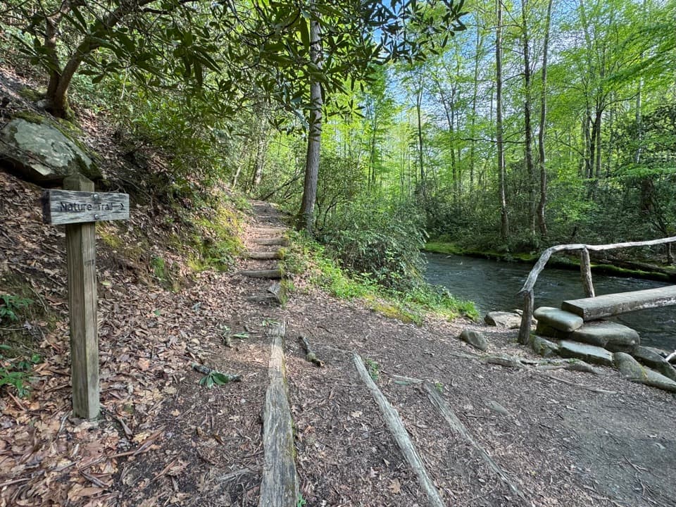
Great Smoky Mountains National Park, TN · NC
A short campground loop with creek crossings and a ridge view.
Overview
Map & elevation
Plan your hike

The highest, rockiest slopes around here are a summer buffet for grizzly bears.
Great Smoky Mountains Tour Guide
Parkwolf is a GPS audio tour guide for Great Smoky Mountains National Park. As you drive, it chimes in with what’s ahead: hidden gems, upcoming stops, history, geology, and wildlife, right through your car’s speakers.
See the Great Smoky Mountains audio tourRecorded for this trailhead
Smokemont and Chasteen Creek Cascade“You're nearing Smokemont, the starting point for the walk to Chasteen Creek Cascade. The creek slides over quartz-streaked sandstone in a broad, fifteen-foot cascade, a modest waterfall after a wooded creek walk.”
Plays as you drive up to this trailhead in the Parkwolf Great Smoky Mountains Tour Guide.
More stories near here in the app
“Fantastic app with many points of information… It’s great to just turn on while you’re driving and it gives you an audio tour of the national Park. We love it!!!!”


Trail guide
Smokemont Nature Trail is a 0.62-mile loop hike that starts across from campsite B31 in Smokemont Campground. It’s a good short walk if you’re camping nearby or want a break from the drive; I wouldn’t make a long detour for the sub-mile route alone. The route gains 168 feet. Allow about 30 to 60 minutes so you have time for the bridges and ridge.
From the trailhead, cross two small foot-log bridges over Bradley Fork, then take the right turn marked by an arrow to begin the loop. The path follows the creek upstream before climbing gently to the ridge. It curves around the mountain’s west side and descends back to the creek; the short approach is walked back across the same bridges to finish.
Expect occasional roots and rocks and a few steeper sections despite the short distance. The bridges are narrow, though they have handrails. At the ridge, views open east and northeast toward the surrounding peaks. Look for wildflowers and listen for birdsong along the walk.
The Smokemont area was once known as Bradleytown. In the early 1900s it was a logging settlement tied to Champion Fibre Company, with barracks, stores, churches and sawmills before the park was established.
There are 18 day-use parking spots at Smokemont Campground; don’t park in campsites. A parking tag is required if you park for more than 15 minutes, and no reservation is required for this hike. Pets aren’t allowed on the trail. Picnic areas are near the start, and the nearest restroom is in the campground.
Wildlife
 1,569 sightingsBlack BearMost seen around 7 PMSighting map
 900 sightingsElkMost seen around 7 AMSighting map
 13 sightingsBald EagleMost seen around 9 AMSighting map
 142 sightingsTimber RattlesnakeMost seen around 6 PMSighting map
 26 sightingsBobcatMost seen around 8 PMSighting map
 42 sightingsRiver OtterMost seen around 7 AMSighting map
Sighting maps show where each species has been reported across Great Smoky Mountains. Wildlife moves, so no sighting is guaranteed.
Keep exploring
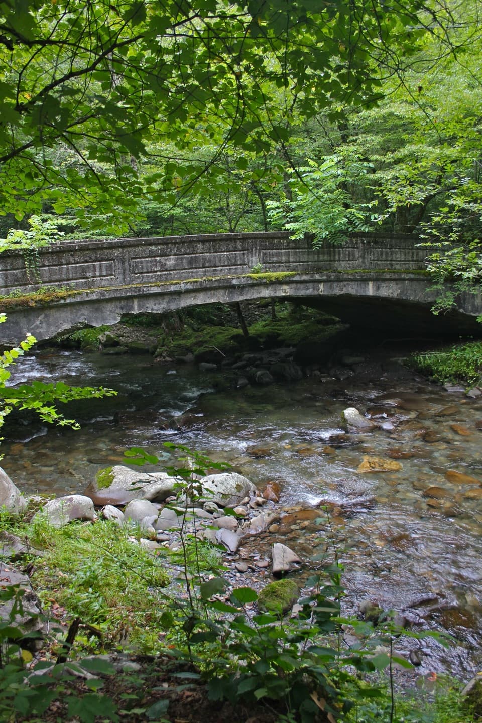 ModerateSmokemont Loop Trail6.1 mi · 4 hr · 0.2 mi awayCreekside approach, steep ridge climb, and Smokemont history.
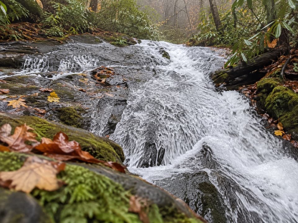 ModerateChasteen Creek Trail to Cascade3.6 mi · 2.5 hr · 0.4 mi awayA streamside walk ends at a modest cascade over smooth bedrock.
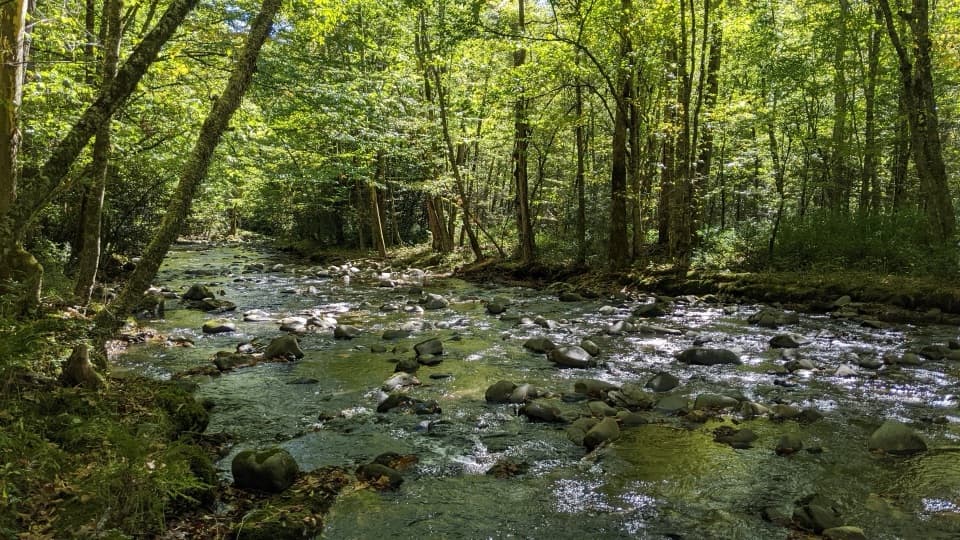 ChallengingBradley Fork Trail14.6 mi · 9.5 hr · 0.4 mi awayA long creekside walk ends in a rocky climb to Hughes Ridge.
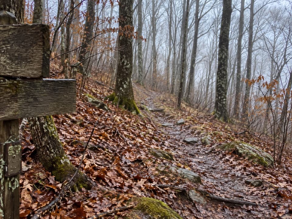 ChallengingNewton Bald Trail11 mi · 6.5 hr · 0.4 mi awayA steady forest climb to a wooded bald with few views.
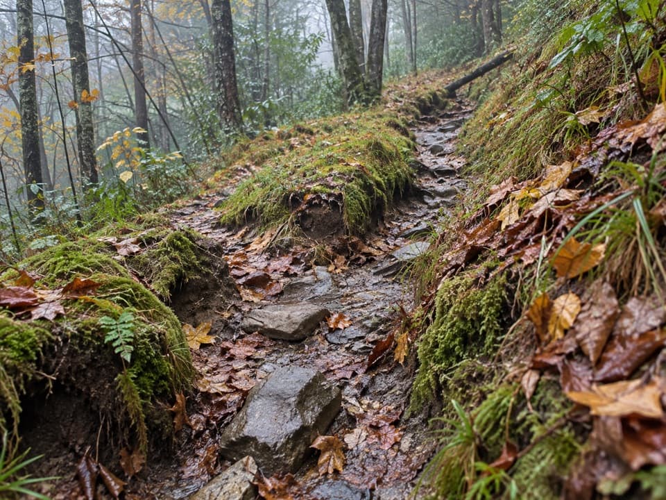 ChallengingDry Sluice Gap Trail16.4 mi · 10.5 hr · 0.4 mi awayA long Smokemont climb to the Appalachian Trail, then back.
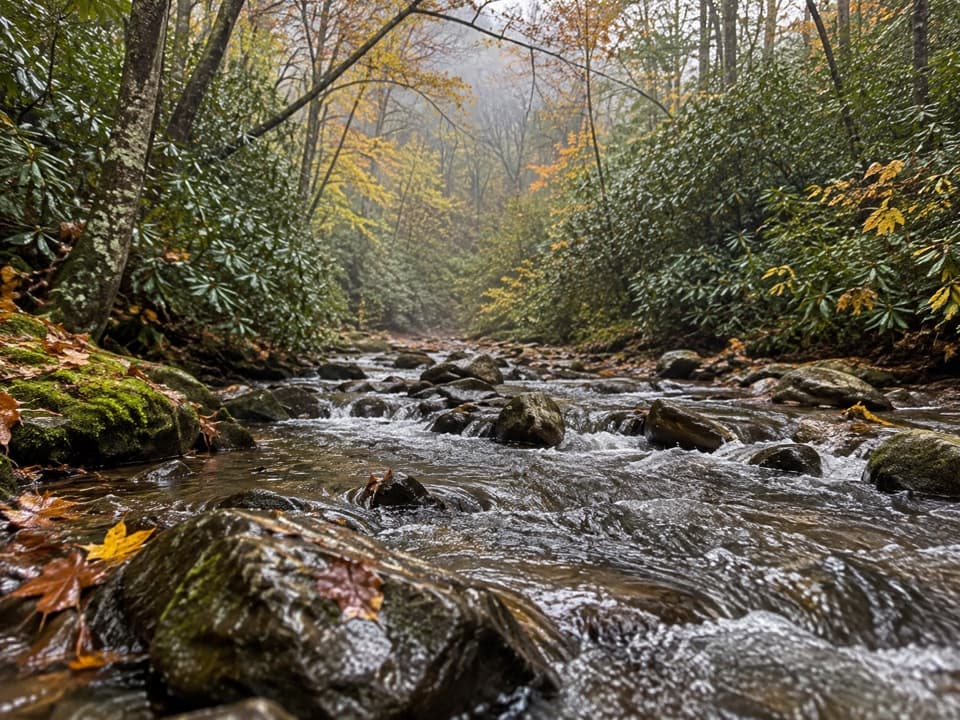 ModerateCabin Flats Trail9.9 mi · 5.5 hr · 0.4 mi awayA 10-mile creekside walk ends at a Smokies backcountry camp.
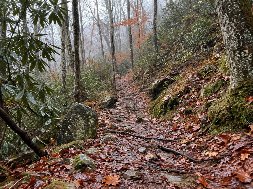 ModerateTow String Horse Trail2.2 mi · 1.3 hr · 1.2 mi awayA quiet woodland link between Tow String Horse Camp and Bradley Fork.
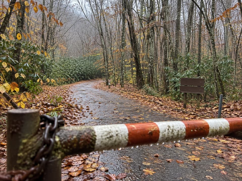 ModerateMingus Creek Trail5.8 mi · 4 hr · 2.6 mi awayAn old creek roadbed ends in a steep climb to Deeplow Gap.
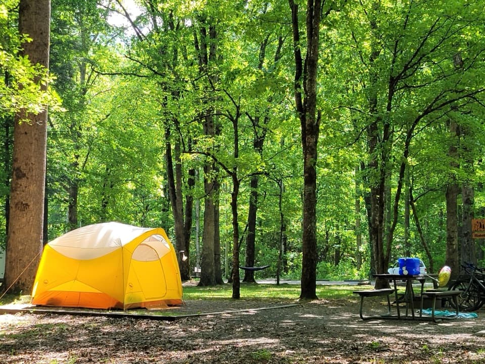 Campground · 0.1 mi awaySmokemont CampgroundA wooded Smokies campground on the site of a logging town.
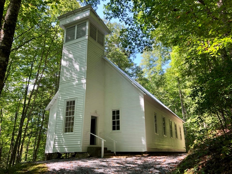 Sight · 0.4 mi awaySmokemont Baptist ChurchA hilltop church preserves Smokemont’s community story.
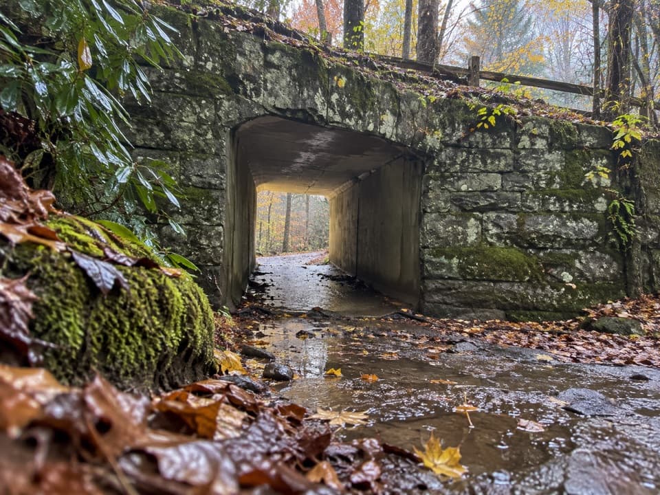 Sight · 0.5 mi awaySmokemont Riding StablesCross a river on horseback, or ride the Old Turnpike by wagon.
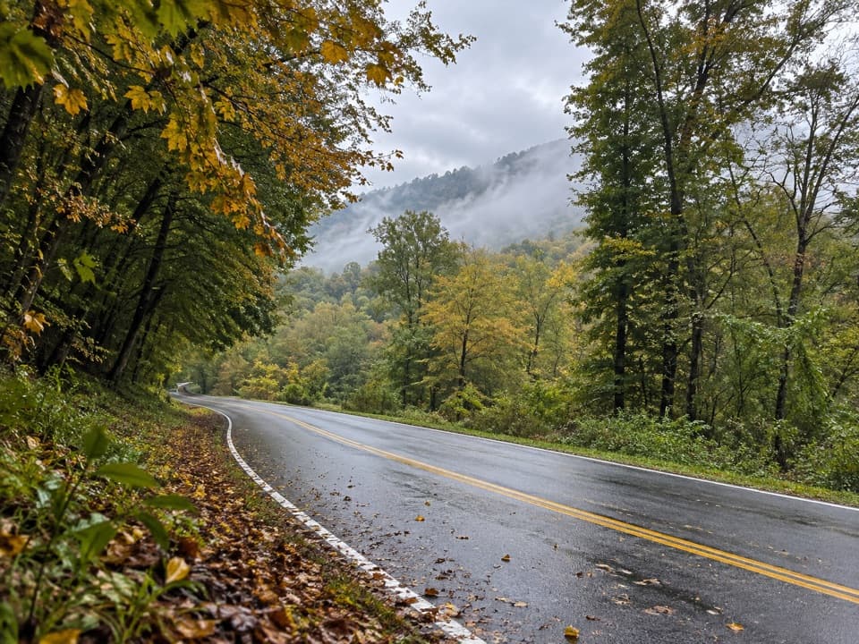 Campground · 1.6 mi awayTow String Horse CampThree wooded sites for campers bringing their own horses.
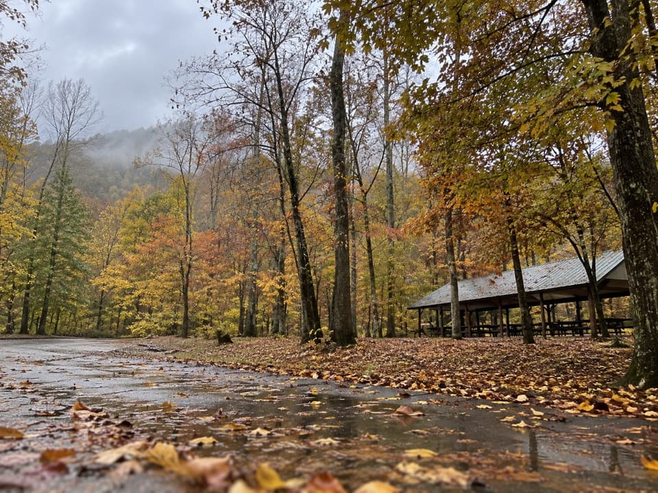 Picnic area · 1.6 mi awayCollins Creek Picnic AreaA shady picnic break with a short creekside walk
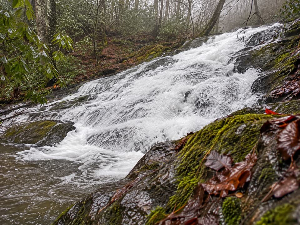 Sight · 2 mi awayChasteen Creek CascadeA 15-foot, quartz-streaked cascade beyond a wooded creek walk.
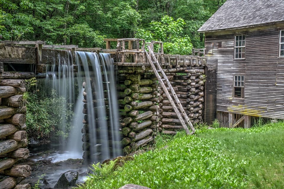 Sight · 2.6 mi awayMingus MillAn 1886 turbine mill with its flume beside Mingus Creek.
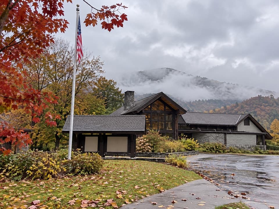 Visitor center · 3.1 mi awayOconaluftee Visitor CenterHistory indoors, elk country and an easy river walk outside.
Parkwolf’s Great Smoky Mountains ranking

The audio tour guide for the drive, plus offline maps, trails, and wildlife heatmaps for when the signal drops.





