Parking
Small paved pull-off on Newfound Gap Road (US 441), about five miles north of Smokemont Campground; parking is limited. A parking tag is required for stops longer than 15 minutes.
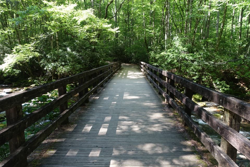
Great Smoky Mountains National Park, TN · NC
Follow the stream to 1930s CCC remains and Kephart Shelter.
Overview
Map & elevation
Plan your hike

The highest, rockiest slopes around here are a summer buffet for grizzly bears.
Great Smoky Mountains Tour Guide
Parkwolf is a GPS audio tour guide for Great Smoky Mountains National Park. As you drive, it chimes in with what’s ahead: hidden gems, upcoming stops, history, geology, and wildlife, right through your car’s speakers.
See the Great Smoky Mountains audio tourRecorded for this trailhead
Kephart Prong Trailhead“You're approaching the Kephart Prong trailhead, a good stop for a short walk to the remains of a nineteen-thirties Civilian Conservation Corps camp.”
Plays as you drive up to this trailhead in the Parkwolf Great Smoky Mountains Tour Guide.
More stories near here in the app
“Fantastic app with many points of information… It’s great to just turn on while you’re driving and it gives you an audio tour of the national Park. We love it!!!!”


Trail guide
Kephart Prong is a 4-mile out-and-back from a small paved pull-off on Newfound Gap Road to Kephart Shelter. It follows the route of an old jeep road beside mountain water, then climbs steadily through hardwood forest on Mount Kephart’s southern slope. Five railed footbridges cross streams along the way, and the published elevation gain is about 830 feet. Allow two to three hours if you want time at the camp remains and shelter. This is a woodland and water walk, not a summit or waterfall hike.
The first bridge crosses the Oconaluftee River, and US 441 can still be audible near the trailhead. About 0.2 mile in, the trail passes the remains of a Civilian Conservation Corps camp: a stone chimney, sign frame, fountain and other stonework. The camp operated from 1933 to 1942. Its crews built the trail and log footbridges, along with nearby road and water infrastructure, so the old camp is part of the walk rather than a separate detour.
Beyond the camp, the tread becomes rockier and keeps climbing beside Kephart Prong. The woods hide the water in places, so expect a shaded forest walk with stream sounds and occasional glimpses, not a constant open creek view. The destination is Kephart Shelter, a backcountry stop rather than a viewpoint. Turn around there and retrace the same corridor.
The rocks and narrow log bridges can be slick when wet or icy, and there are stairs. Mosquitoes are a recurring nuisance in warm or wet weather; insect repellent is worth packing. Parking is limited to the small paved pull-off on Newfound Gap Road, about five miles north of Smokemont Campground. A parking tag is required for stays longer than 15 minutes. The nearest listed restroom is at Collins Creek Picnic Area, which is seasonal; Oconaluftee Visitor Center also has restrooms. Pets aren’t allowed. Overnight stays at Kephart Shelter require a reservation and backcountry permit.
Kephart Prong, the trail and Mount Kephart are named for Horace Kephart, an author and early conservationist who advocated for a national park in the Smokies. The CCC camp is another piece of the area’s history, with its stonework and bridge supports still visible along the trail.
Wildlife
 1,569 sightingsBlack BearMost seen around 7 PMSighting map
 900 sightingsElkMost seen around 7 AMSighting map
 13 sightingsBald EagleMost seen around 9 AMSighting map
 142 sightingsTimber RattlesnakeMost seen around 6 PMSighting map
 26 sightingsBobcatMost seen around 8 PMSighting map
 42 sightingsRiver OtterMost seen around 7 AMSighting map
Sighting maps show where each species has been reported across Great Smoky Mountains. Wildlife moves, so no sighting is guaranteed.
Keep exploring
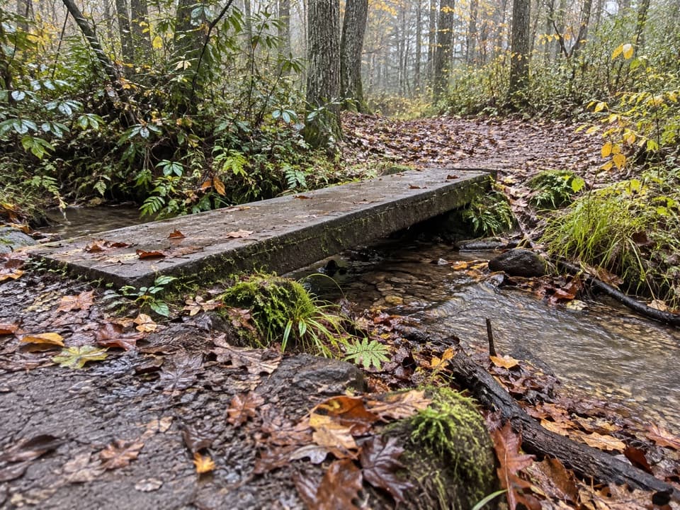 EasyKanati Fork Quiet Walkway0.4 mi · 15 min · 0.3 mi awayA short forest walk to Beech Flats Prong.
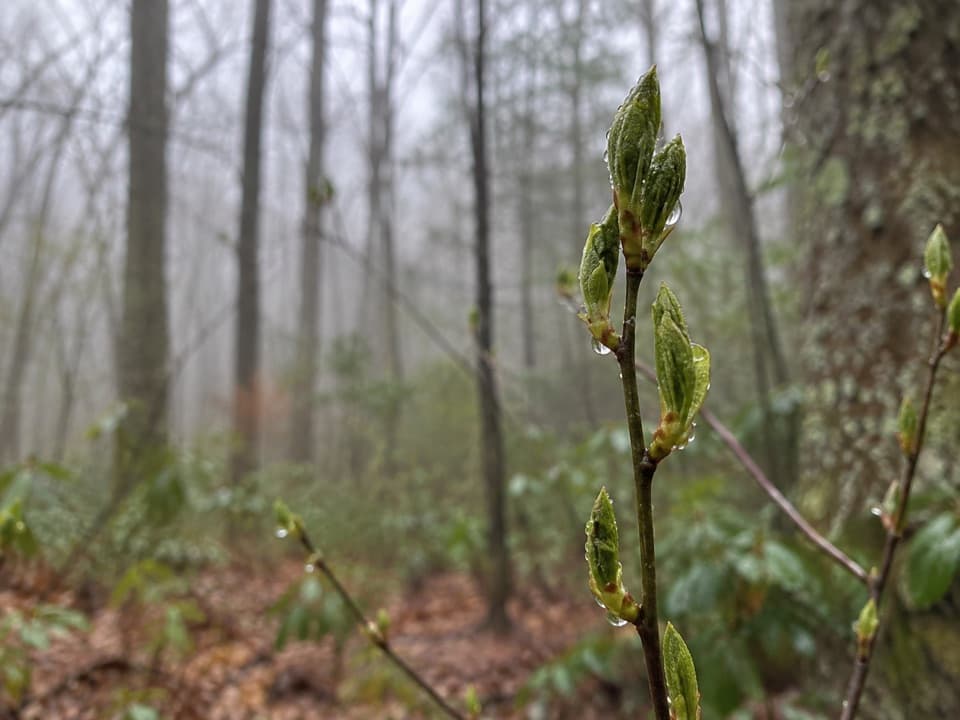 ChallengingKanati Fork Trail5.8 mi · 4.5 hr · 0.3 mi awayA steep climb earns a standout spring wildflower show.
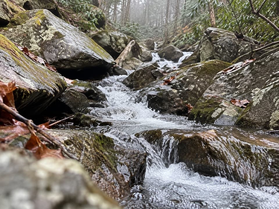 ChallengingSweat Heifer Creek Trail3.6 mi · 3.5 hr · 1.8 mi awayA steep wooded creek climb to the Appalachian Trail.
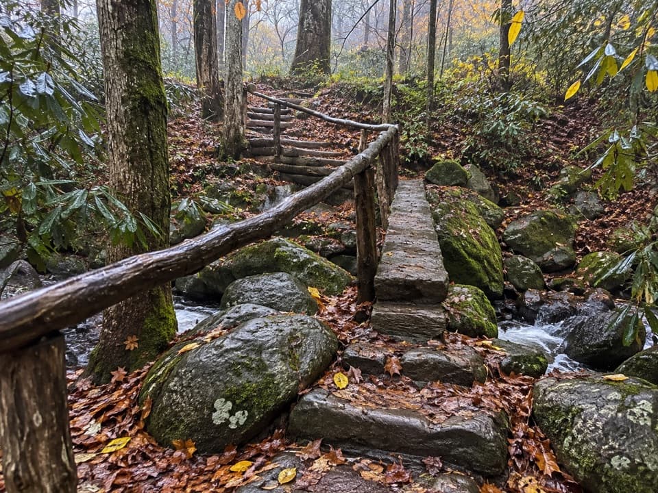 ChallengingGrassy Branch Trail2.6 mi · 3 hr · 1.8 mi awayA hard switchback climb through grassy openings to Dry Sluice Gap.
 ChallengingThomas Divide Trail13.6 mi · 8 hr · 2.3 mi awayA soft upper ridge gives way to a steep, 14-mile traverse.
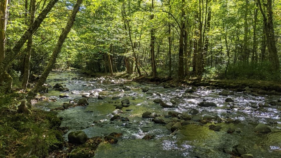 ChallengingBradley Fork Trail14.6 mi · 9.5 hr · 3.1 mi awayA long creekside walk ends in a rocky climb to Hughes Ridge.
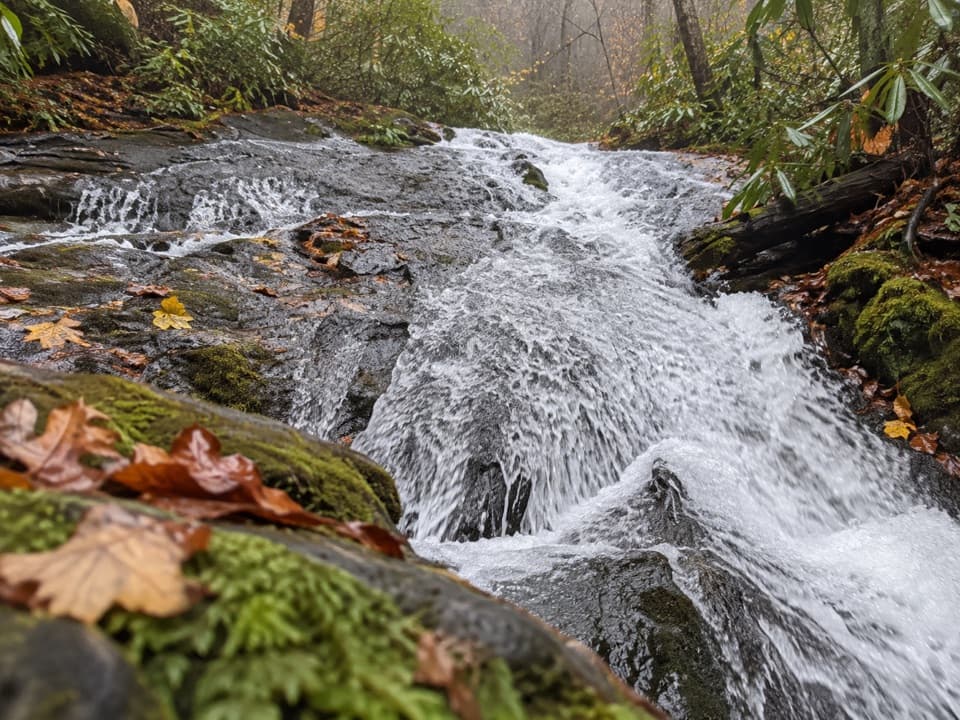 ModerateChasteen Creek Trail to Cascade3.6 mi · 2.5 hr · 3.1 mi awayA streamside walk ends at a modest cascade over smooth bedrock.
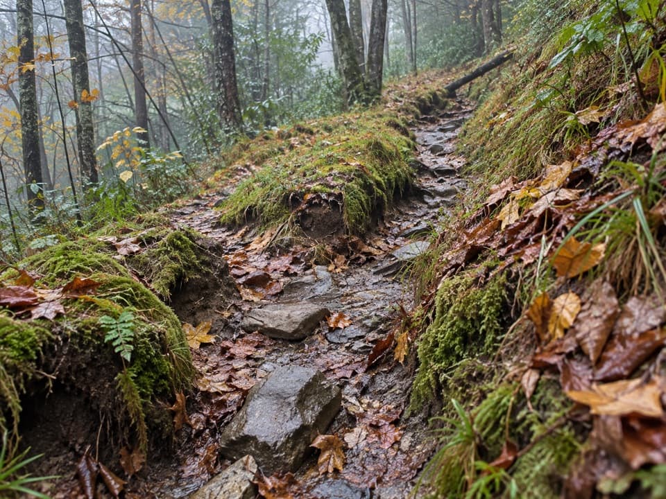 ChallengingDry Sluice Gap Trail16.4 mi · 10.5 hr · 3.2 mi awayA long Smokemont climb to the Appalachian Trail, then back.
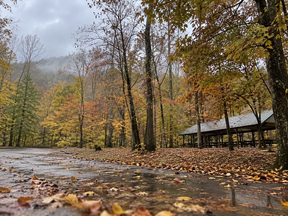 Picnic area · 1.7 mi awayCollins Creek Picnic AreaA shady picnic break with a short creekside walk
 Scenic pullout · 2.7 mi awayCharles A. Webb OverlookA quick pull-off for layered ridges and a glimpse of Kuwohi.
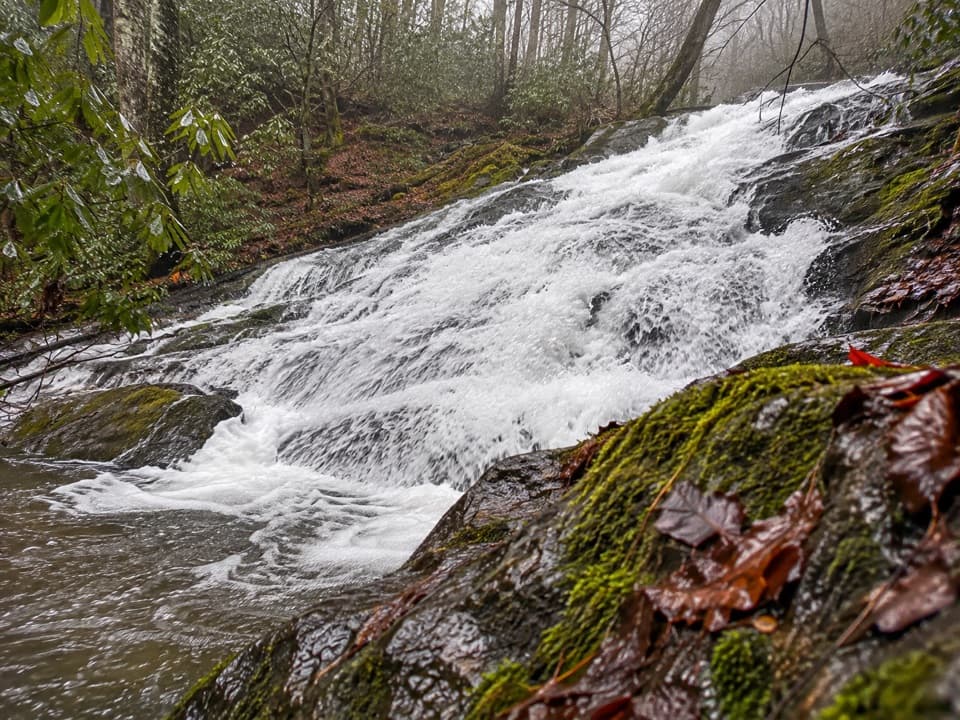 Sight · 2.7 mi awayChasteen Creek CascadeA 15-foot, quartz-streaked cascade beyond a wooded creek walk.
 Scenic pullout · 3.1 mi awaySwinging Bridges South OverlookLayered ridgelines from a short roadside pull-off.
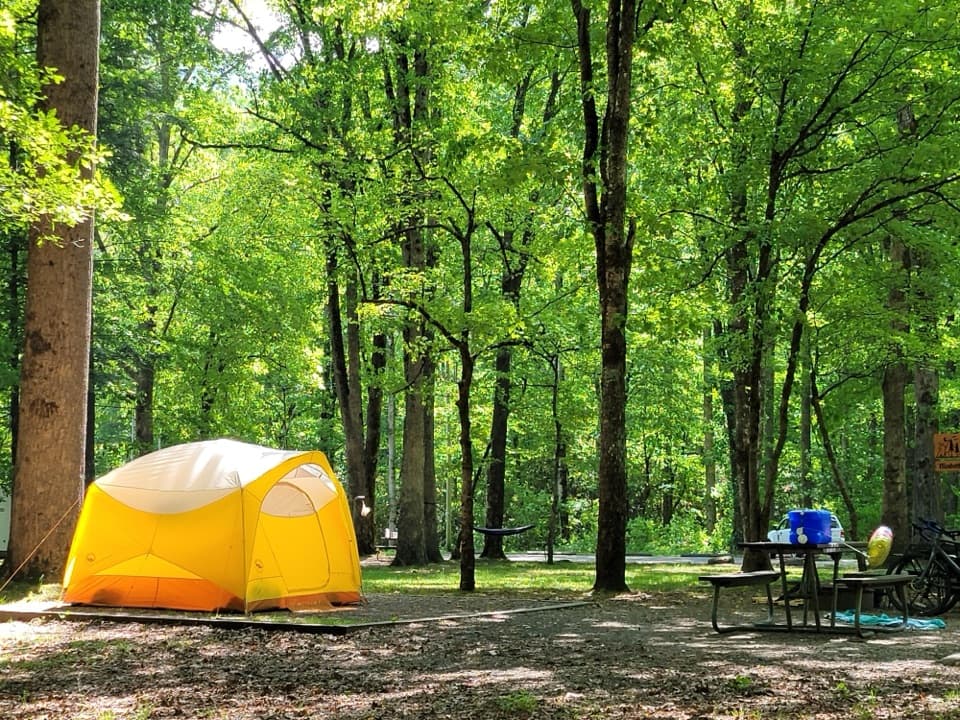 Campground · 3.2 mi awaySmokemont CampgroundA wooded Smokies campground on the site of a logging town.
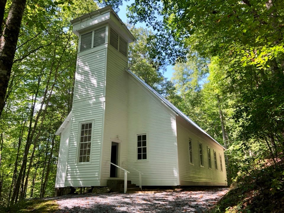 Sight · 3.6 mi awaySmokemont Baptist ChurchA hilltop church preserves Smokemont’s community story.
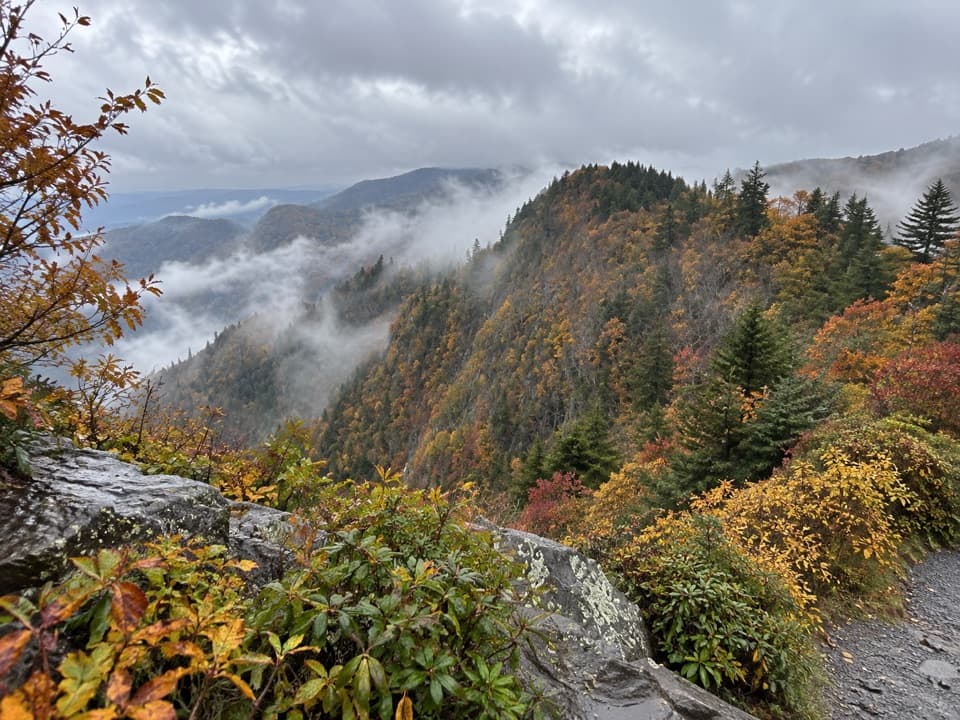 Scenic pullout · 3.6 mi awayDeep Creek Valley OverlookA roadside viewpoint over Deep Creek Valley
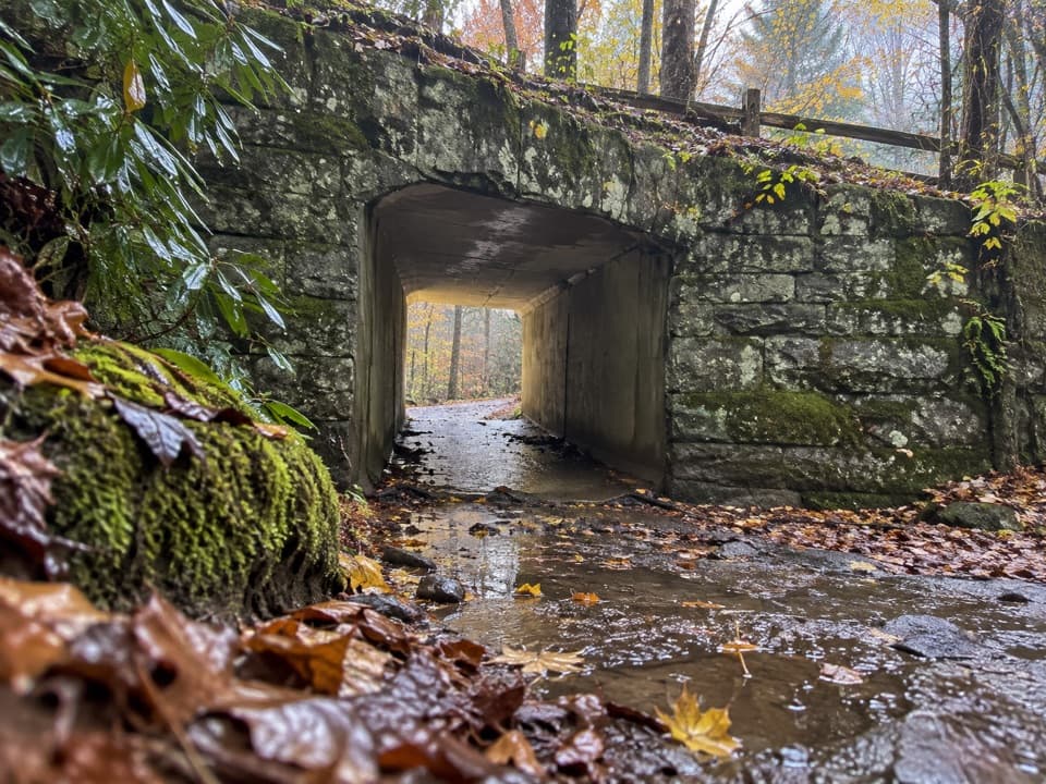 Sight · 3.7 mi awaySmokemont Riding StablesCross a river on horseback, or ride the Old Turnpike by wagon.
Parkwolf’s Great Smoky Mountains ranking

The audio tour guide for the drive, plus offline maps, trails, and wildlife heatmaps for when the signal drops.





