
Place · 0 mi away
Moderate
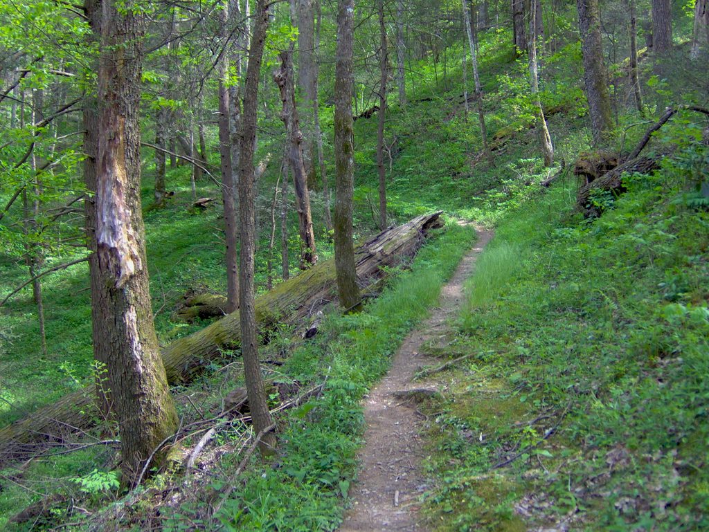
This is the Cosby side’s go-to waterfall hike: a 4.4-mile round-trip on the Gabes Mountain Trail to Hen Wallow Falls. Expect a steady but moderate climb through hemlock and hardwood forest, with roots, rocks, and footbridges keeping things interesting. Total elevation gain is roughly in the 900-foot range, and the final 0.1-mile spur to the base of the falls is short, steep, and slick—worth it, but take it slow.
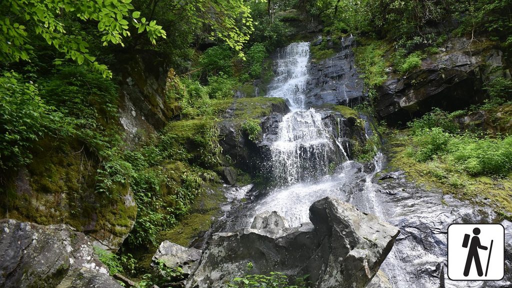
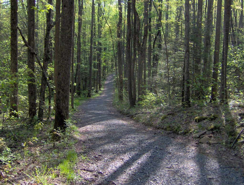
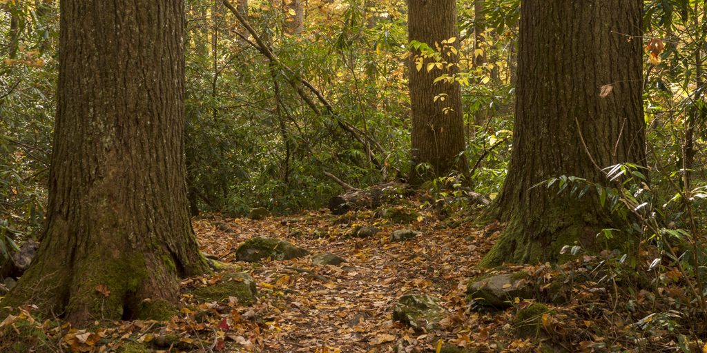
The forest here is classic Smokies: tunnels of rhododendron, mossy logs, and lively creeks. You’ll cross well-built footlogs over Rock Creek and smaller streams, then roll through pockets of older forest with big trees. History buffs can watch for old stone walls, chimneys, and signs of the Civilian Conservation Corps’ 1934 work along the corridor. The payoff is Hen Wallow Falls—about 90 feet tall—narrow at the top and fanning dramatically at the base. Look closely in the pool below and you may spot salamanders.
From the trailhead by Cosby Campground and the picnic area, the grade is a consistent, moderate uphill that eases off between short steeper steps. The tread is rock- and root‑laced in places and can be muddy after rain. The spur down to the falls is the crux: steep, with slick, wet rock at the bottom. Poles and supportive footwear help a lot here. Past the falls, the trail continues toward a backcountry campsite and on to junctions with Maddron Bald and Old Settlers Trails if you want to turn this into a bigger day.
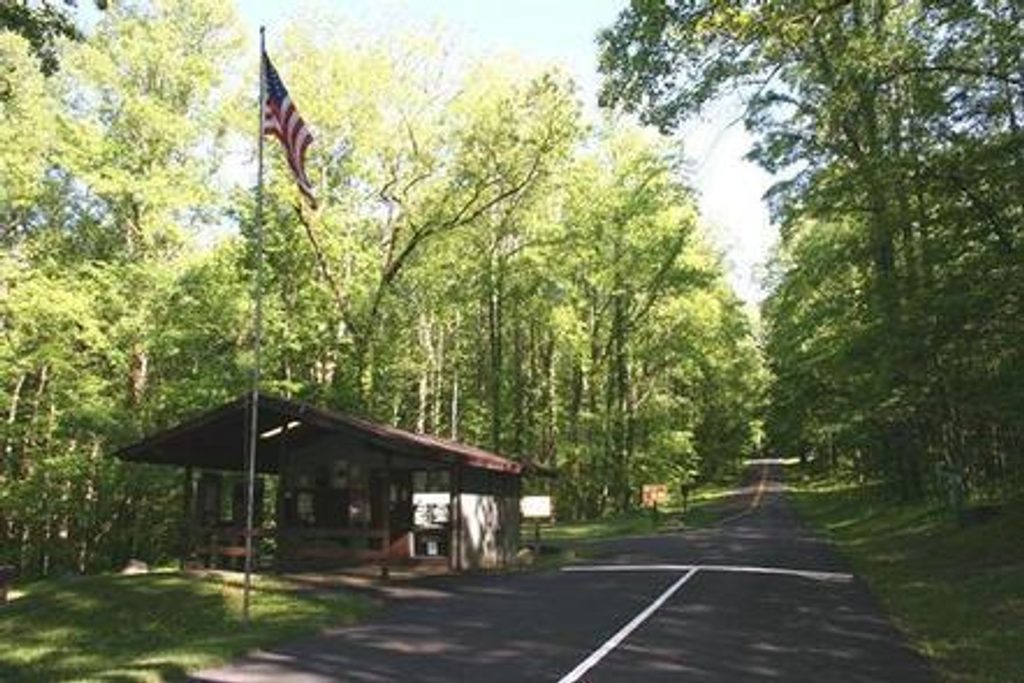
Park at the hiker lot just before the Cosby Picnic Area, a stone’s throw from Cosby Campground. The falls spur is signed at roughly 2.1 miles from the start. Facilities are nearby at the picnic area. Note that dogs aren’t permitted on this trail.
Mornings and weekdays are the quietest. Spring through early summer brings lush greens and wildflowers; rosebay rhododendron pops in early July. Summer is humid and buggy—bring repellent and extra water. After recent rain, the falls are fuller but the spur and rocks are extra slick. Soft, even light hits the falls best on overcast days or early/late in the day.
If you want a classic Smokies waterfall with fewer crowds than the Gatlinburg side, this is a great pick. Families with hiking experience do fine, but mind the steep, slippery approach to the base. If you prefer a smooth, groomed path, the rooty, uneven tread here may feel tiring.
Park in the hiker lot just before the Cosby Picnic Area near Cosby Campground; the Gabes Mountain Trailhead is adjacent and signed. Restrooms are at the picnic area.
Very slick rocks at the base of the falls; the spur is steep. Tread is rooty and rocky with small stream crossings that are harder after rain. No dogs allowed.
Place · 0 mi away
Place · 0.1 mi away
Place · 0.4 mi away
Place · 0.4 mi away
Challenging · 0.2 mi away
Challenging · 0.3 mi away
Challenging · 0.3 mi away
Easy · 0.4 mi away

Parkwolf Tour Guide
