Parking
Park in the marked Hiker Parking Area near the Cosby Campground entrance and check-in shack. Walk roughly a quarter mile through the campground to the Low Gap trailhead at the back of section B; do not park in the campsite loop.

Great Smoky Mountains National Park, TN · NC
Creek crossings and a steep climb to the remote Walnut Bottom junction.
Overview
Map & elevation
Plan your hike

The highest, rockiest slopes around here are a summer buffet for grizzly bears.
Great Smoky Mountains Tour Guide
Parkwolf is a GPS audio tour guide for Great Smoky Mountains National Park. As you drive, it chimes in with what’s ahead: hidden gems, upcoming stops, history, geology, and wildlife, right through your car’s speakers.
See the Great Smoky Mountains audio tourRecorded for this trailhead
Cosby Picnic Area and Hen Wallow Falls“Up ahead is Cosby Picnic Area, a shady place for lunch beside Cosby Creek. Bring your own picnic; the tables have charcoal grills. The picnic area is seasonal, generally spring through fall.”
Plays as you drive up to this trailhead in the Parkwolf Great Smoky Mountains Tour Guide.
More stories near here in the app
“Fantastic app with many points of information… It’s great to just turn on while you’re driving and it gives you an audio tour of the national Park. We love it!!!!”


Trail guide
Low Gap Trail is a 5.4-mile, one-way point-to-point route from the back of Cosby Campground’s B section to Walnut Bottom, where it meets Big Creek Trail. It climbs 2.9 miles to Low Gap on the Appalachian Trail, then descends 2.5 miles to Walnut Bottom. The distance covers the named trail from its back-of-campground trailhead; add the walk from the hiker lot and whatever return or exit route you arrange. Walnut Bottom is a remote trail junction, not a road pickup. A simple out-and-back on Low Gap is about 10.8 miles. I’d allow about five hours for the 5.4-mile section, then add your campground approach and any exit.
Use the marked Hiker Parking Area near the campground entrance and check-in shack, then walk roughly a quarter mile through the campground to the trailhead at the back of B. Don’t park in the campsite loop. The first 0.4 mile weaves through campground paths and several trail junctions; follow the Low Gap signs where the route meets Cosby Nature Trail and Lower Mount Cammerer Trail. A few turns are easy to misread.
The opening follows Cosby Creek, with two small stream crossings on footlogs in the first few tenths of a mile. After the Cosby Horse Trail junction, the climb becomes steady. A run of switchbacks comes around mile 1.2, and the trail crosses the creek again near its headwaters around mile 2.5. The tread gets rocky and rooty as you gain the ridge. At 2.9 miles, Low Gap meets the Appalachian Trail at roughly 4,300 feet. Don’t expect the Mount Cammerer panorama here; that lookout is a separate extension.
Stay on Low Gap Trail at the Appalachian Trail junction and descend about 2.5 miles to Walnut Bottom and the Big Creek Trail junction. The route drops through forest to a backcountry campsite area, then ends at the junction; there’s no road access there. Sort out the return before setting out. Pets aren’t allowed on this trail.
Wildlife
 1,569 sightingsBlack BearMost seen around 7 PMSighting map
 900 sightingsElkMost seen around 7 AMSighting map
 13 sightingsBald EagleMost seen around 9 AMSighting map
 142 sightingsTimber RattlesnakeMost seen around 6 PMSighting map
 26 sightingsBobcatMost seen around 8 PMSighting map
 42 sightingsRiver OtterMost seen around 7 AMSighting map
Sighting maps show where each species has been reported across Great Smoky Mountains. Wildlife moves, so no sighting is guaranteed.
Keep exploring
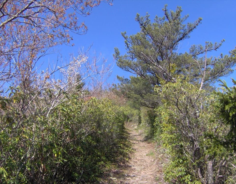 ChallengingLow Gap, Appalachian Trail and Snake Den Ridge Loop Trail13.1 mi · 9 hr · At the trailheadA full-day loop links Low Gap, the AT, and Snake Den Ridge.
 ChallengingMount Cammerer Trail11.1 mi · 7 hr · At the trailheadA steep climb to a historic tower above the Smokies.
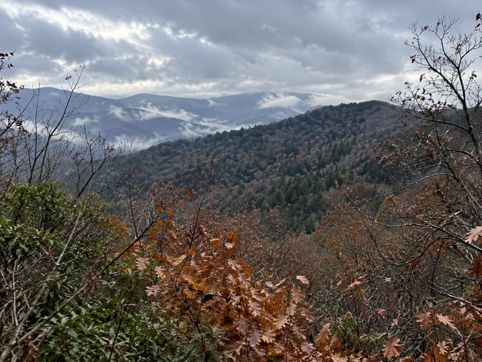 ModerateSutton Ridge Overlook Trail3.5 mi · 2 hr · At the trailheadA short, steep spur reaches a north-facing view over Riding Fork.
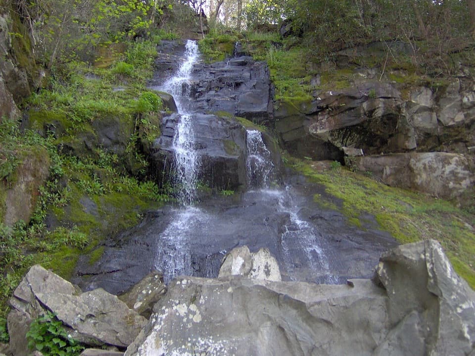 ModerateGabes Mountain Trail to Hen Wallow Falls4.3 mi · 3.5 hr · 0.2 mi awayA rooty 4.3-mile out-and-back ends at a steep 90-foot waterfall.
 EasyCosby Nature Trail1.3 mi · 45 min · 0.2 mi awayA wooded creek loop with log bridges and rocky crossings.ChallengingSnake Den Ridge Trail10.6 mi · 8 hr · 0.2 mi awayA steep 10.6-mile out-and-back to the Appalachian Trail.
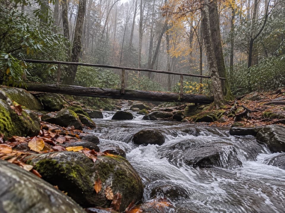 ChallengingLower Mount Cammerer Trail14.8 mi · 8 hr · 0.3 mi awayA long day of creek crossings and ridge climbing to the AT.
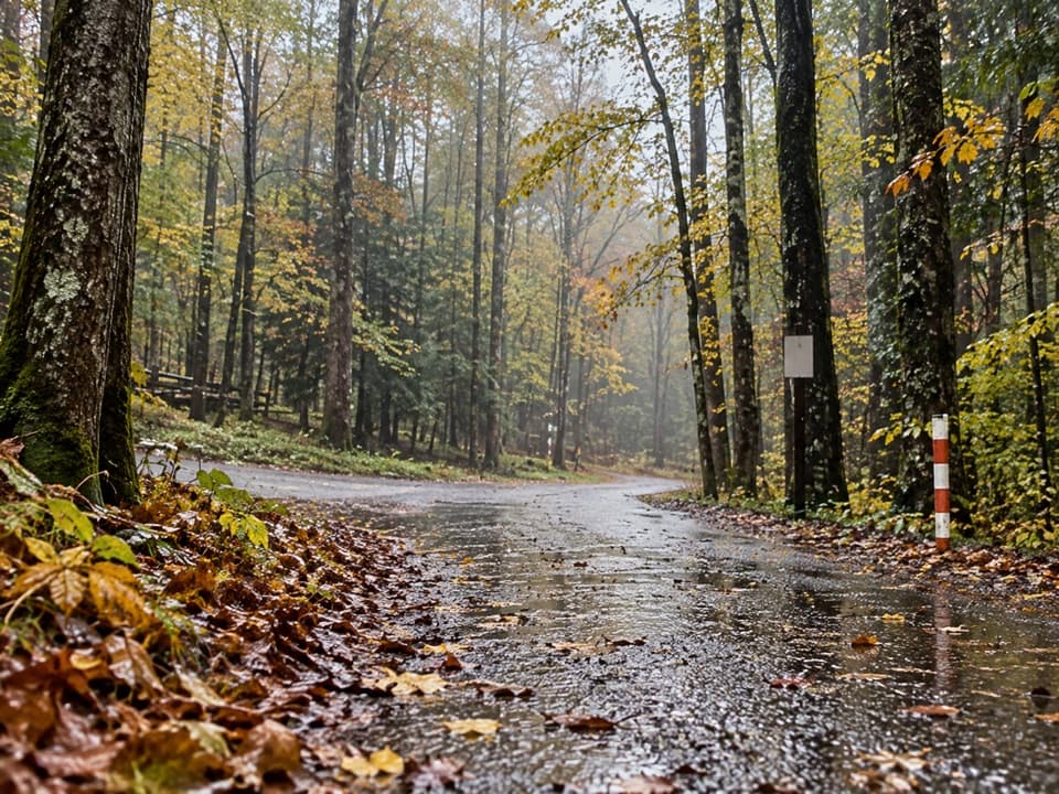 ModerateCosby Horse Trail0.3 mi · 10 min · 0.3 mi awayA short, steep path near Cosby Campground.
 Picnic area · 0.1 mi awayCosby Picnic AreaA shady 35-site picnic stop beside Cosby Creek
 Campground · 0.2 mi awayCosby CampgroundA shady, tent-heavy base with hiking routes nearby.Sight · 1.7 mi awayHen Wallow FallsA 90-foot cascade makes the rooted climb worthwhile.
 Sight · 2.7 mi awayMount Cammerer Lookout TowerA rock summit and a 1930s fire tower reward a big climb.
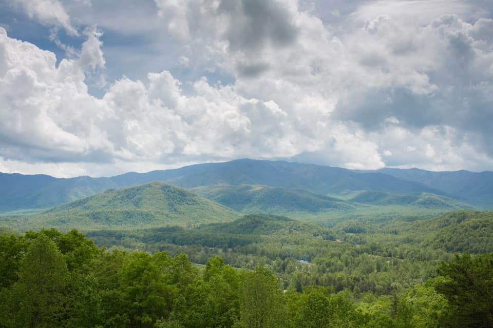 Scenic pullout · 3.9 mi awayCosby OverlookA short pullout with a southwest view over Cosby Valley.
 Scenic pullout · 4 mi awayGreen Mountain OverlookA southeast-facing view worth timing for sunrise.
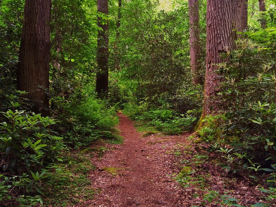 Sight · 4.2 mi awayAlbright GroveA long hike through one of the Smokies’ finest old-growth forests.
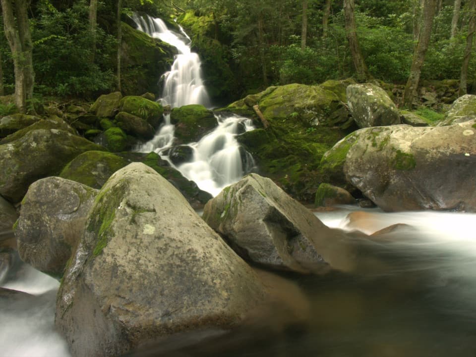 Sight · 4.4 mi awayMouse Creek FallsA 41-foot waterfall with Midnight Hole along the way.
Parkwolf’s Great Smoky Mountains ranking

The audio tour guide for the drive, plus offline maps, trails, and wildlife heatmaps for when the signal drops.




