Pros & cons
PROS
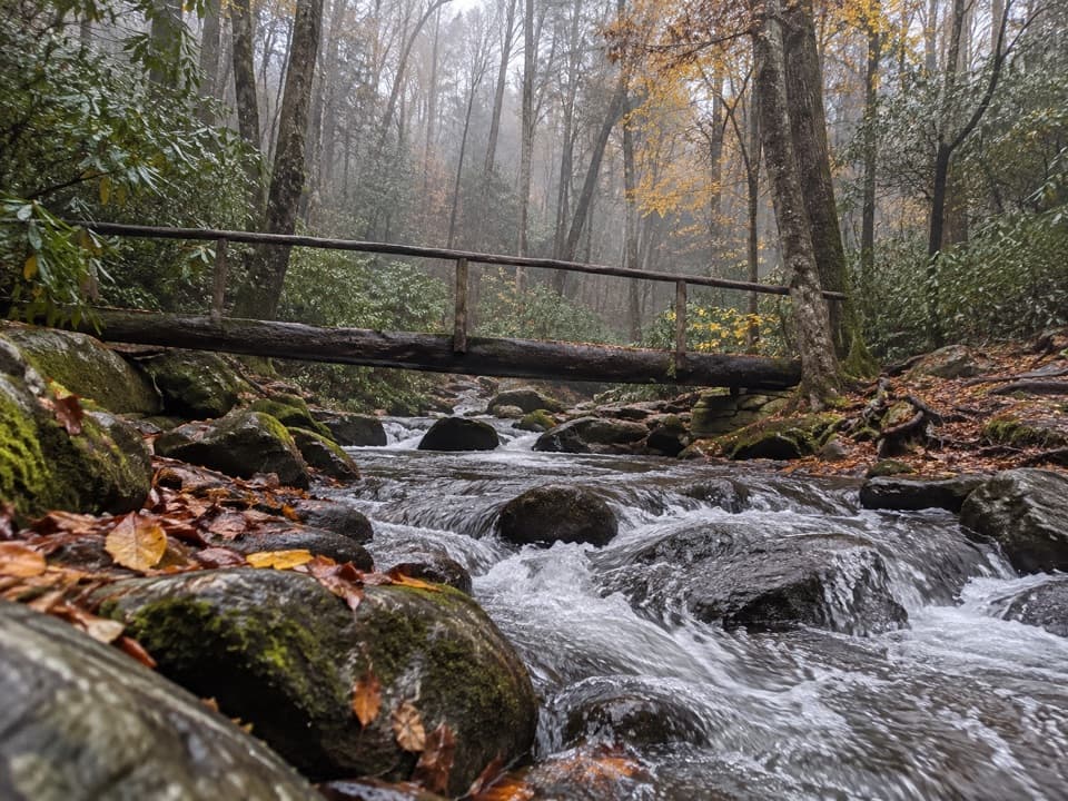
- Multiple playful creek and footlog crossings without committing to a long hike
- Consistently quieter than the park’s marquee trails, even in peak seasons
CONS
- Crossings can be impassable after heavy rain, forcing a turnaround
- Facilities are seasonal and not always open or in top shape
Park at the Cosby Picnic Area near Cosby Campground; small trailhead lot with overflow farther down the entrance road. A GSMNP parking tag is required if staying more than 15 minutes.
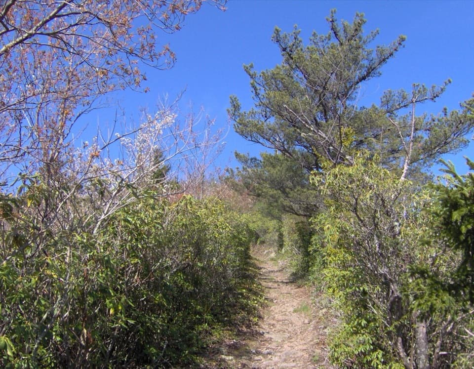
Narrow, sometimes slick footlogs and rocky, rooty sections; after heavy rain, creek crossings may be unsafe—backtrack instead of wading. Limited/no cell service. No pets on this trail.
Overview
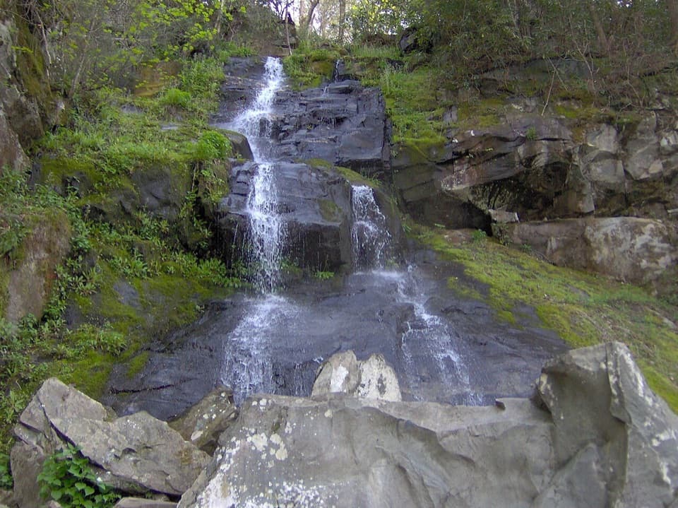
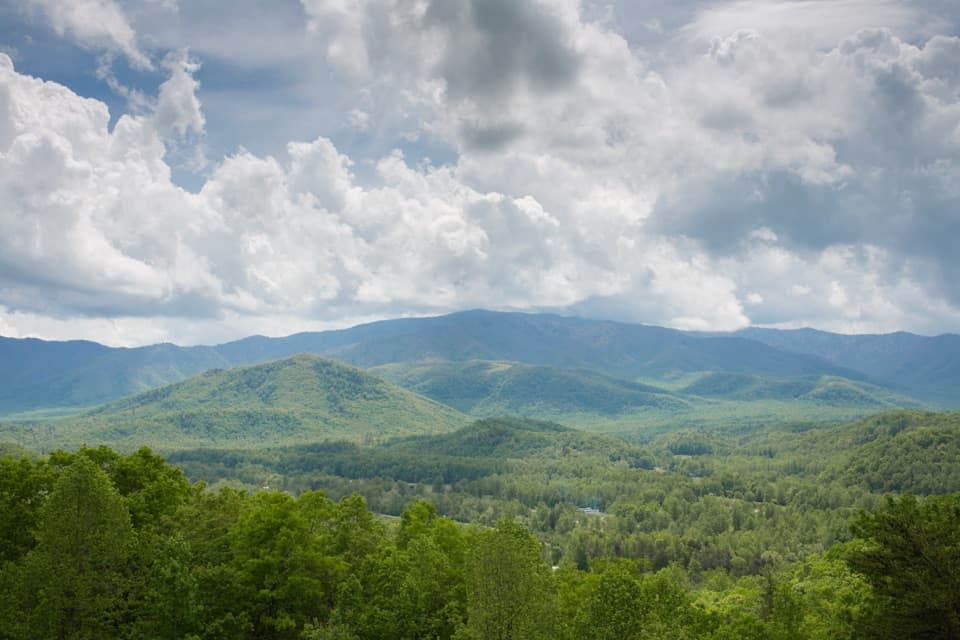
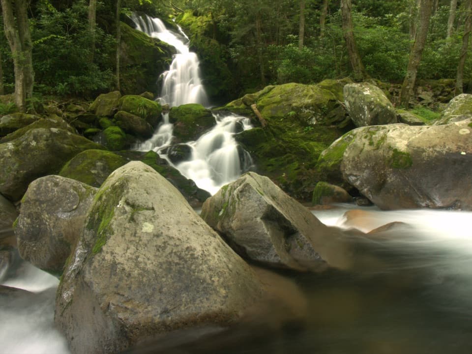
This mellow loop samples one of the Smokies’ quieter corners. At roughly 1.3 miles total with about 187 feet of gain, it’s an easy stroll that usually takes 30–45 minutes, yet it delivers that classic cove hardwood forest feel. The trail parallels Cosby Creek and its feeders, with the soothing sound of water, small cascades (all very short), and multiple fun footbridge crossings.
What you’ll see and how it feels
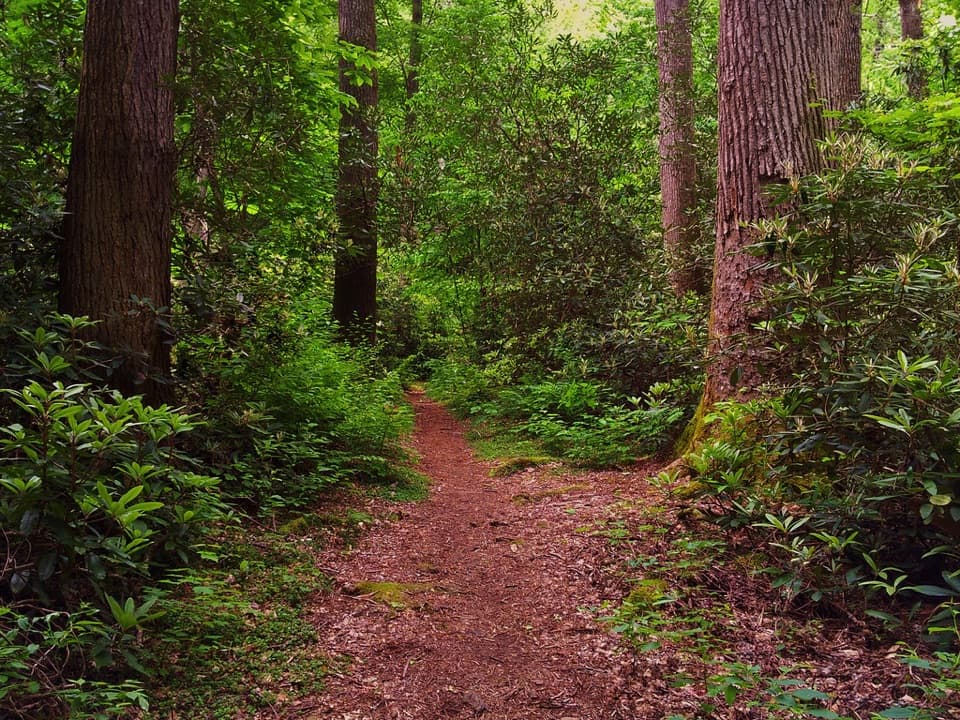
Expect deep shade, ferns, moss, and seasonal mushrooms under a mixed hardwood canopy. Spring brings a strong wildflower show, and the Cosby area pops with color in fall. The tread is mostly easy but not groomed—roots and rocks keep you honest, and some crossings use narrow footlogs with a single handrail. Kids tend to love the bridges and creek views, but keep them close near water and on the logs.
Conditions and cautions
After heavy rain, one or more crossings can become sketchy or impassable. Don’t wade fast water; simply backtrack if levels are high. Wear grippy shoes for slick roots, rocks, and damp wood. There’s little to no cell service in the Cosby area, so don’t rely on your phone.
Trailhead, parking, and amenities
The loop starts by the Cosby Picnic Area/Cosby Campground. There’s a small trailhead lot with overflow farther down the entrance road. A parking tag is required anywhere in the park if you’ll be parked more than 15 minutes. Restrooms, picnic tables, and grills are at the nearby picnic area; facilities are seasonal and may be closed at times. The trail is a signed self-guided nature loop, but brochures aren’t guaranteed.
Best times to hike
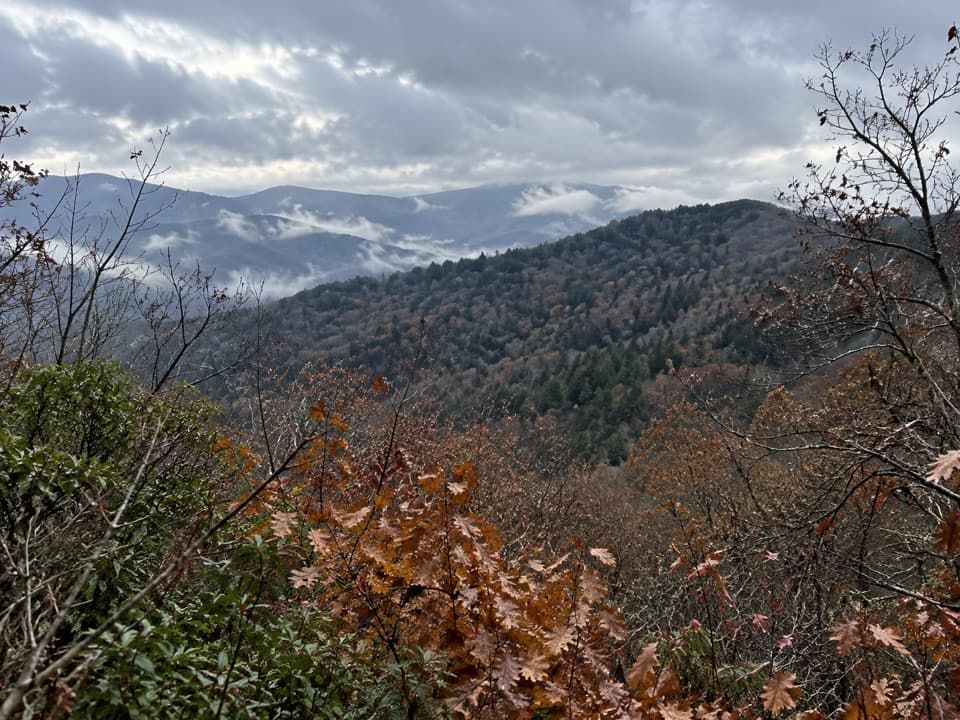
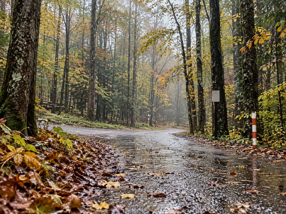
Spring and fall are prime—wildflowers in April–May and vibrant foliage in October–early November. Summer stays pleasantly shaded along the creek. Avoid right after big storms when water is up. For the most solitude, go early or on weekdays; the Cosby section is generally calmer than the park’s hot spots year‑round.
If you want more
From the same area you can step up to bigger goals: Hen Wallow Falls via the Gabes Mountain Trail, the old‑growth loop at Albright Grove, or the long, leg‑burning climb toward Mount Cammerer via Low Gap and the Appalachian Trail.
Elevation
1.3 mi · 36 minWhere it starts
35.7532, -83.2055Wildlife on this trail
Near Cosby Nature Trail
All places →All trails →
0.1 mi awayCosby Group CampgroundShaded, creekside group tent sites with water, toilets, and trail accessCampground · Restroom
0.1 mi awayCosby CampgroundShaded, quiet basecamp with trail access to the ATCampground · Restroom
0.1 mi awayLower Mount Cammerer TrailA quiet, gentle climb with streams and a bonus Sutton Ridge viewModerate · 15 mi · 6.5 hr
0.2 mi awayMount Cammerer TrailSteep grind to a classic CCC fire tower with all day ridge viewsChallenging · 11.1 mi · 7 hr
0.2 mi awayLow Gap TrailSteep climb from Cosby to the AT; shortest route to Mount Cammerer.Challenging · 11.1 mi · 6.5 hr
0.3 mi awaySnake Den Ridge TrailBig, steady climb from Cosby to the AT with history and solitude.Challenging · 10.6 mi · 6.7 hr
0.3 mi awayCosby Picnic AreaShady creekside picnic spot with easy trail access and a pavilionPicnic Table · Restroom
0.4 mi awayHen Wallow Falls TrailheadQuieter waterfall trailhead with restrooms near Cosby CampgroundTrailhead · Parking