
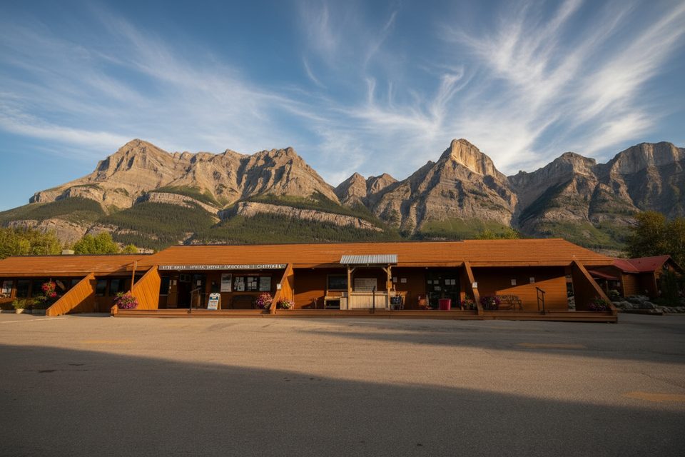
Place · 0.1 mi away
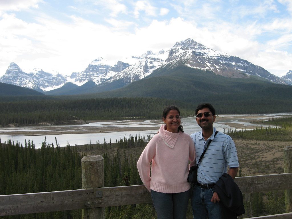
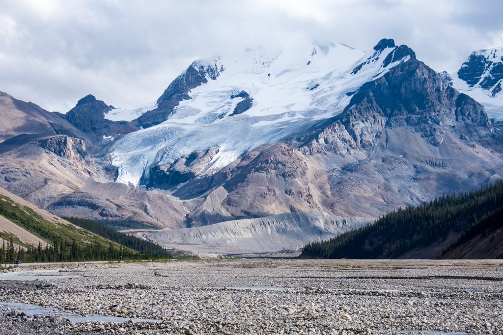
This isn’t a town—it’s a historic service hub tucked where Highway 93 (Icefields Parkway) meets Highway 11 (David Thompson Highway). Set in a wide valley at the confluence of the North Saskatchewan, Howse, and Mistaya Rivers, Saskatchewan River Crossing is equal parts practical pit stop and photogenic pause.
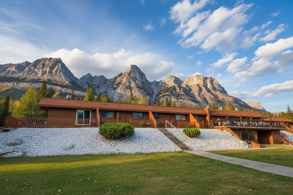
If you’re driving the Parkway, this is the essential refuel point—gas, food, a general store, and motel-style lodging sit right by the bridge and junction. There’s also a parks ranger station. It’s quieter and more low-key than the big resort towns, and a smart base to explore north/south on 93 or east toward Bighorn Country on 11.
The setup is simple: a compact resort complex with dining, a general store, and a service station. Expect basic, convenient amenities rather than frills. Views stretch across a classic glacial valley and braided rivers—worth a few minutes to wander and take in the setting.
“The Crossing” name comes from fur trade days, when parties forded the North Saskatchewan here and followed the Howse River to Howse Pass into what’s now British Columbia. The modern Banff–Jasper highway cemented its role as a midpoint, and completion of Highway 11 made it a true crossroads.
This corridor is known for big-mammal country—keep eyes peeled for bears, elk, and mountain goats, especially around dawn and dusk. Enjoy the sightings from a distance and never feed wildlife.
Plan around summer: the motel, restaurant, store, and gas station primarily operate in the warm months, and services can be limited or closed in winter. Prices for fuel and food tend to be higher than in the towns. There’s no cell service here, so download maps and info ahead of time.
Mid-morning to mid-afternoon is the busiest window in summer as day-trippers cycle through. Early or late gets you calmer vibes, better chances for wildlife, and softer light on the river flats. In shoulder seasons, double-check what’s open before you bank on a stop.
As a destination, it’s brief; as a stop, it’s indispensable. Come for the fuel and provisions, stay a few extra minutes for the views and the sense of place at a historic Rockies crossing.
Place · 0.1 mi away
Place · 0.1 mi away
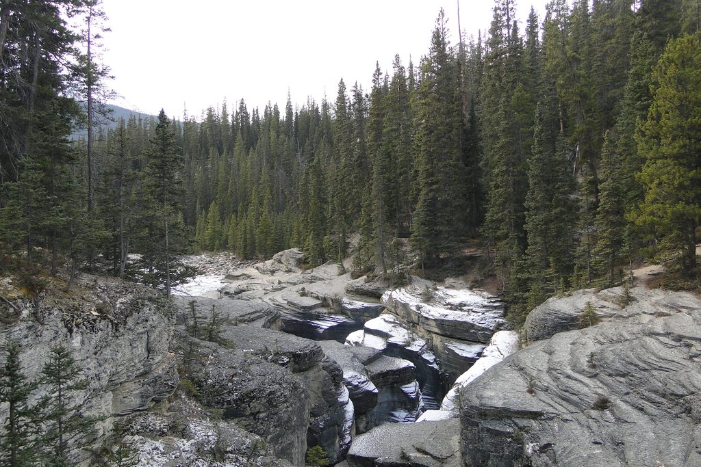
Place · 2.3 mi away
Place · 6.5 mi away
Easy · 2.5 mi away
Challenging · 9.7 mi away
Easy · 10.4 mi away
Easy · 19.6 mi away

Parkwolf Tour Guide
