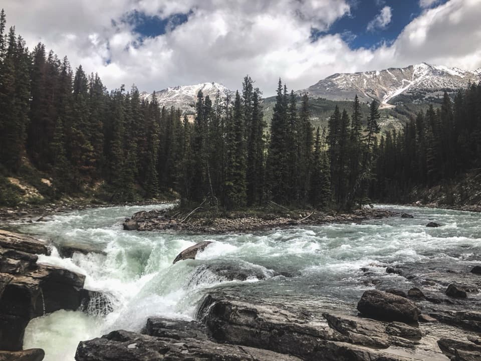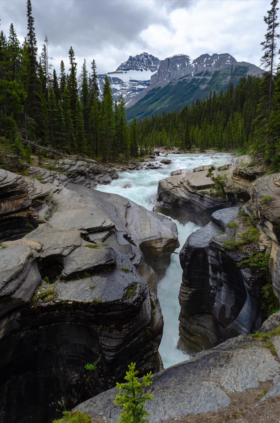
Mistaya Canyon in Icefields Parkway (Highway 93)

#6 of 30 sights in Icefields Parkway

Sight · Icefields Parkway (Highway 93)

Mistaya Canyon

A short walk drops to a bridge over twisting, sculpted whitewater.

Photo: Wikimedia Commons
Type
Sight
Nearest trail
0.3 km
Audio stories
3 nearby
  • Parking
  • Scenic viewpoint
  • Restrooms

Hear the audio tour

Mistaya Canyon: The Twisting Channel

Overview

About Mistaya Canyon

Why stop

  • The bridge puts you above a narrow, twisting rock channel.

Heads up

  • The short walk down ends with a steep climb back to the lot.

Map

Where it is

Loading the Icefields Parkway map
Full map
SightMistaya Canyon51.94281, -116.72064
Keep this map with you offline in the Parkwolf app

Plan your stop

Before you go

2 active Icefields Parkway alerts

  • ClosureWildfire-impacted area closures in JasperStay out of the closed wildfire-impacted areas in Jasper National Park; access is prohibited or restricted to protect public safety.Official details
  • ClosureOpal Hills hiking area closed for grizzly bearThe Opal Hills hiking area is closed because a female grizzly bear with two offspring is in the area. - The closure took effect September 25, 2026, and remains in effect until further notice.Official details

Icefields Parkway alerts
A park ranger sits on a dash-mounted phone, talking, as Parkwolf’s Tour Guide plays “Army Cutworm Moths: A Grizzly Bear Buffet” on Grand Loop Road below Dunraven Pass in Yellowstone
Parkwolf Tour GuideThe highest, rockiest slopes around here are a summer buffet for grizzly bears.

Icefields Parkway Tour Guide

Your drive to Mistaya Canyon, narrated.

Parkwolf is a GPS audio tour guide for Icefields Parkway (Highway 93). As you drive, it chimes in with what’s ahead: hidden gems, upcoming stops, history, geology, and wildlife, right through your car’s speakers.

See the Icefields Parkway audio tour

Recorded for this place

Mistaya Canyon: The Twisting Channel
0:00 / 0:29
“Mistaya Canyon is coming up, a good half-hour stop for a close look at a twisting river gorge.”

Plays as you drive up to Mistaya Canyon in the Parkwolf Icefields Parkway Tour Guide.

More stories near here in the app

  • A Family Across the Rockies
  • Ice on Both Sides
  • The Tourists Who Measured a Glacier
  • Howse Pass Viewpoint: A Valley and a Route
  • 141 audio storiesacross Icefields Parkway’s roads, triggered by GPS as you drive
  • Wildlife heatmapsfor Grizzly Bear, Black Bear, Moose, and 13 more
  • Works offlinemaps, 54 trails, 57 places, and audio download before you lose signal
  • CarPlay readysimple controls built for the drive
★★★★★
“Fantastic app with many points of information… It’s great to just turn on while you’re driving and it gives you an audio tour of the national Park. We love it!!!!”
JMJamesApp Store review
Download Parkwolf on the App StoreGet Parkwolf on Google Play

4.7 from 8,600+ ratings

Guide

More about Mistaya Canyon

What the canyon isMistaya Canyon is a narrow, twisting gorge cut by the Mistaya River, just off the Icefields…

Mistaya Canyon is a narrow, twisting gorge cut by the Mistaya River, just off the Icefields Parkway in Banff National Park. A bridge crosses above the tightest part, giving you a close view of fast water working through sculpted rock. It's a strong short stop if you'd like to step away from the road and see the river at work.

Down to the bridgeA marked path drops from the roadside lot to the bridge. The full route is listed at about 1.

A marked path drops from the roadside lot to the bridge. The full route is listed at about 1.8 km as a loop; the bridge is reached by a shorter downhill walk, and turning around there means climbing back up. Visitors often mention that the return feels steeper than the walk down. Stay on the path: wet rocks beside the canyon edge are slippery.

The river at workThe Mistaya River flows from the Peyto Lake area and has carved this gorge over thousands of…

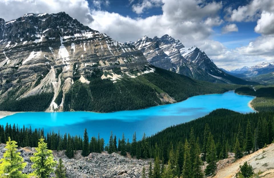
The Mistaya River flows from the Peyto Lake area and has carved this gorge over thousands of years. From the bridge, watch how the channel bends and narrows between the rock walls. The water's speed and the way the rock has been shaped are the whole show here.

Get the canyon in the frameLook down from the bridge and include the nearest rock ledge with the river beyond it.

Look down from the bridge and include the nearest rock ledge with the river beyond it. That foreground makes the gorge's depth and tight turns easier to read in a photo. There are additional viewpoints along the eastern bank if you want a different angle; stick to the marked route rather than scrambling over wet rocks.

Fit it into the driveThe signed parking area comes up quickly around a bend, so keep an eye out as you approach.

The signed parking area comes up quickly around a bend, so keep an eye out as you approach. There is no food service at the canyon, and the Icefields Parkway has long gaps between services; plan meals elsewhere. The stop is listed as seasonal, with access generally shown from May through October, so check conditions before setting out.

Wildlife

Wildlife in Icefields Parkway

All Icefields Parkway wildlife maps

Sighting maps show where each species has been reported across Icefields Parkway. Wildlife moves, so no sighting is guaranteed.

Parkwolf’s Icefields Parkway ranking

Top sights in Icefields Parkway

All 57 places
  1. 1Athabasca GlacierSight
  2. 2Peyto Lake ViewpointSight
  3. 3Athabasca FallsSight
  4. 4Bow LakeSight
  5. 5Sunwapta FallsSight
  6. 7Columbia Icefield SkywalkSight

Take Parkwolf to Icefields Parkway.

The audio tour guide for the drive, plus offline maps, trails, and wildlife heatmaps for when the signal drops.

4.7 from 8,600+ ratings

Download Parkwolf on the App StoreGet Parkwolf on Google Play