

Place · 0.4 mi away
Moderate

Bow Summit Lookout delivers huge Canadian Rockies scenery for a relatively easy effort. From the Bow Summit/Peyto Lake parking area, you’ll start on the popular paved path to the Peyto Lake viewpoint, then leave the masses behind as you continue to a higher, quieter lookout. Expect about 3.7 miles (6 km) round-trip with roughly 750 feet (230 m) of steady gain—easy to moderate overall.
Note: Some descriptions call this the “Bow Lake Lookout,” but it’s the same extension beyond the Peyto Lake interpretive loop. Either way, the destination is a broad, high vantage over the Bow Valley and the Icefields Parkway.
Follow the paved walkway to the busy Peyto Lake platform. Continue on the loop that leads left, and at the three‑way junction take the middle option. As the pavement levels out, look for a bird-themed signpost; straight ahead, a gravel/old fire road leaves the pavement and heads toward the lookout. The route climbs gradually through thinning forest into open alpine terrain, then a short, steeper push lands you on a flat clearing with sweeping, 360‑degree views.
From up high you’ll look over the turquoise sweep of Peyto Lake (that famous color comes from fine glacial “rock flour” suspended in the water) and across to Bow Lake. Peaks like Dolomite Peak, Bow Peak, and surrounding glaciers (including Bow and Hector) frame the valley. It’s classic Icefields Parkway scenery without the bus‑tour crush.
You’re traveling through terrain carved by ice—U‑shaped valleys, moraines, and active glaciers are all on display. The upper slopes are mostly low alpine shrubs with fewer trees, which is why the vistas open so dramatically. Keep an ear out for pika chirps among the rocks, and watch for busy red squirrels along the forested approach.
Summer into early fall is prime: clear trails, wildflowers, and fully accessible roads. Weather can change fast at this high pass (the Icefields Parkway’s highest point), and snow is possible in late spring or early autumn, so pack layers. In winter, the area is popular for backcountry skiing and snowshoeing—go only with proper equipment and avalanche awareness.
Arrive early or late in the day to avoid the heaviest crowds at the paved Peyto viewpoint; once you continue toward Bow Summit, the foot traffic drops dramatically.
Park at the Bow Summit/Peyto Lake area, reached via a short signed access road from the Icefields Parkway; the hike begins on the paved path to the Peyto Lake viewpoint.
Rapid mountain weather shifts; slick upper trail after snow or rain; winter travel requires avalanche awareness and proper gear.
Place · 0.4 mi away

Place · 1.2 mi away
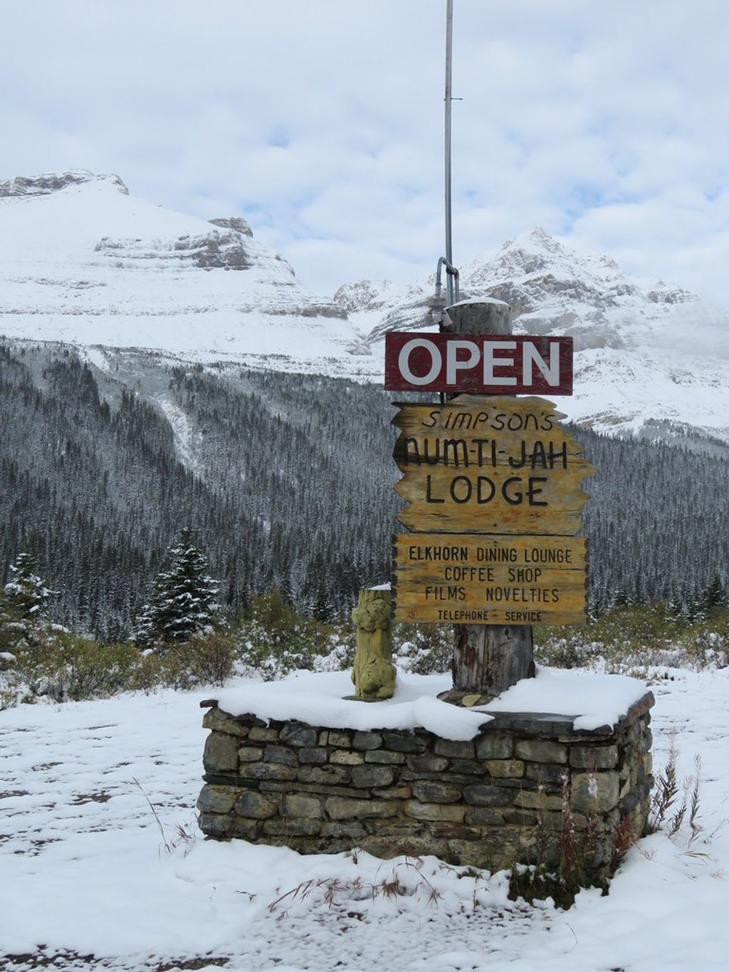
Place · 3 mi away

Place · 3.5 mi away

Easy · 0 mi away
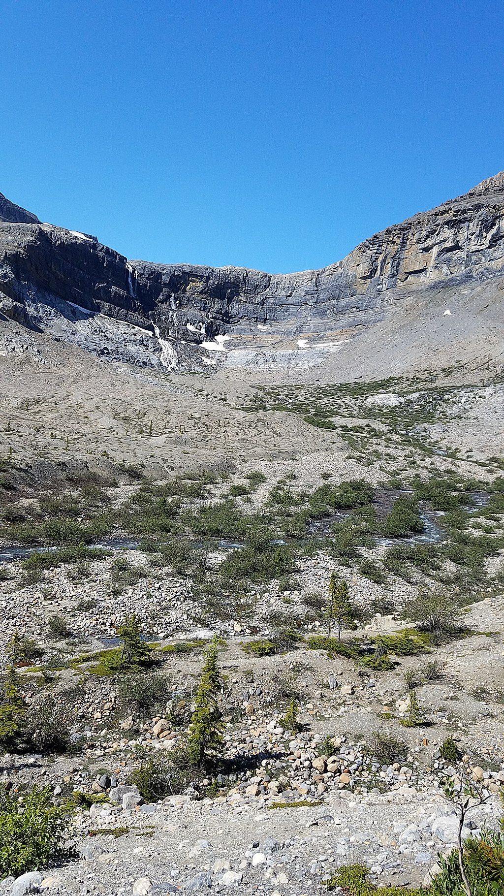
Moderate · 3 mi away
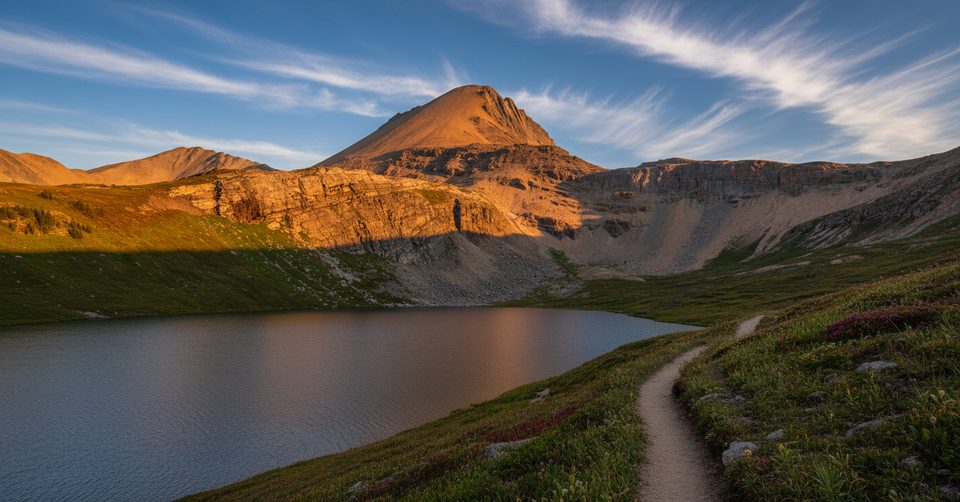
Challenging · 4.7 mi away

Moderate · 4.7 mi away

Parkwolf Tour Guide
