
Place · 0.1 mi away
Moderate
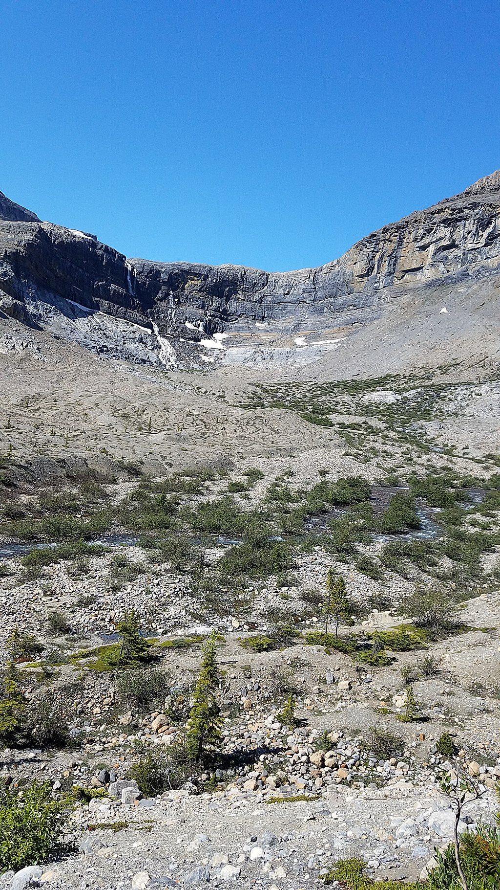
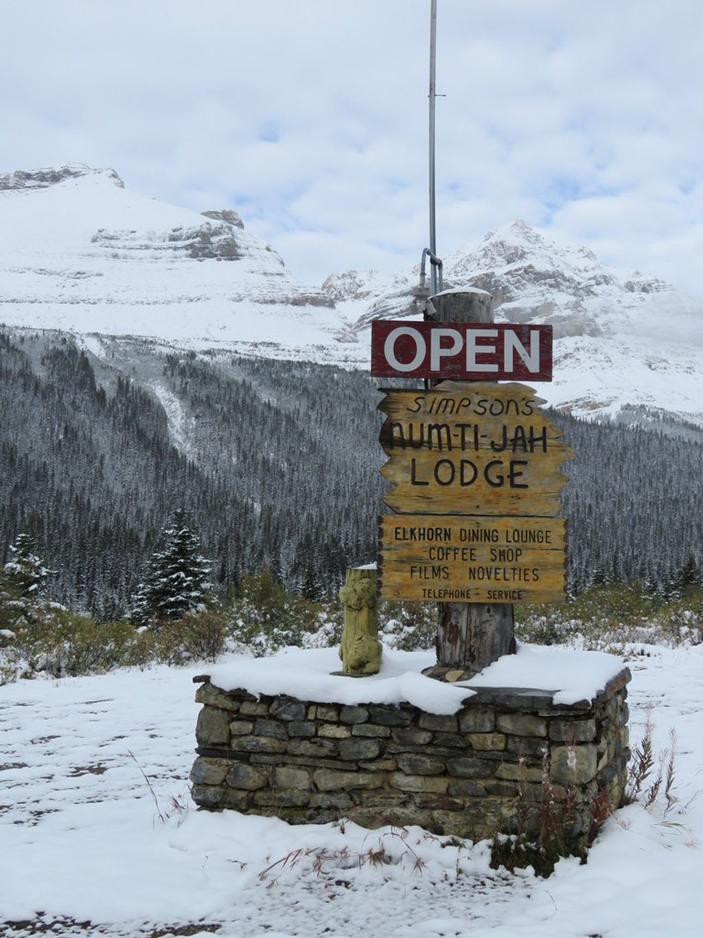
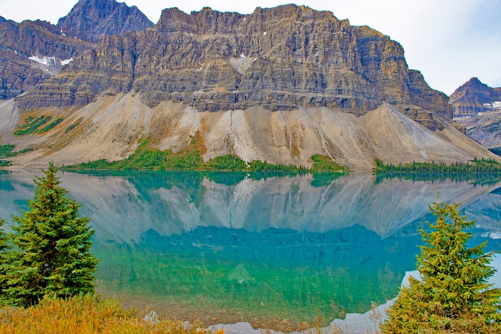
A classic Icefields Parkway outing: about 5.7 miles/9 km round‑trip with roughly 155 m of elevation, most of it in the final approach. Starting from the Bow Lake parking area by historic Num‑Ti‑Jah Lodge, this out‑and‑back hugs the turquoise north shore of Bow Lake before climbing into a glacial valley to the base of Bow Glacier Falls. Plan on 2–4 hours; most hikers land near 3.
The first half is easy walking along the lakeshore with constant mountain and lake views. As you leave the lake, the path turns rockier and climbs a short but notable hill with stairs and loose stones. Near the end, expect uneven rock and a boulder field as you approach the falls. You can carefully walk right up to the base (expect spray). On the way back, use the stacked rock cairns to relocate the main trail. Minor seasonal stream crossings and muddy patches show up, but most hikers stay dry.
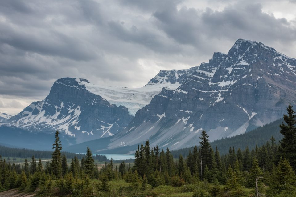
This route strings together Bow Lake’s shoreline, braided creek flats, and a headwall crowned by the Bow Glacier—part of the Wapta Icefield and source of the Bow River system. The waterfall is the trip’s exclamation point: a tall, veiling horsetail pouring straight off the glacier. Keep an eye up‑valley for glimpses of the icefield and out over your shoulder for big‑angle views back across Bow Valley.
Overall easy to moderate: straightforward navigation and mostly gentle grades until the final, steeper, rockier push. It’s popular with families and newer hikers, but the last section is not stroller or wheelchair friendly and can feel exposed or slippery when wet. Dogs are allowed but must stay leashed.
Late spring through early summer shows the falls at their most powerful; they run year‑round but often with less volume later in the season. Typical hiking season is June–October. Mornings or weekdays help you beat crowds and wind; Bow Lake sits high and can feel chilly even in August, so bring layers. After a rain, the falls are especially photogenic.
There is no cell service at Bow Lake—download your map. Carry bear spray and know how to use it; this is prime wildlife habitat. Footing near the falls can be slick, and water may run over parts of the trail in shoulder seasons—wear solid hiking shoes. The Bow Lake lot fills early on busy days; arriving before mid‑morning helps. A Parks Canada pass is required for day use. For post‑hike treats, the lodge café is a convenient stop.
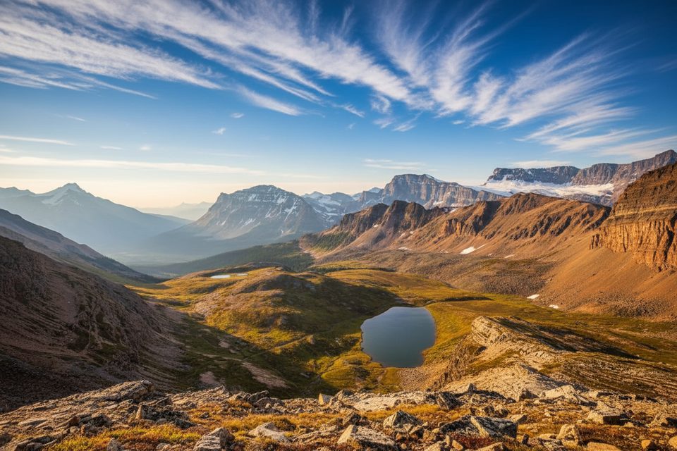
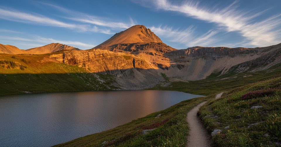
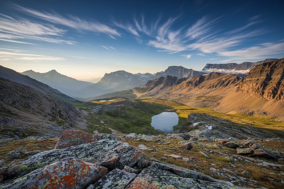
For another half‑day classic nearby, Helen Lake trades waterfalls for alpine meadows and peak views. Short on time? Mistaya Canyon delivers dramatic water‑carved rock with minimal effort. Bow Glacier Falls remains the best payoff per effort if you want lake, glacier, and waterfall in one package.
Park at the Bow Lake lot beside Num‑Ti‑Jah Lodge on the Icefields Parkway; the signed trail starts along the lake’s north shore. Arrive early—this lot fills quickly.
No cell coverage; carry bear spray. Expect a short but steep, rocky climb and slick footing near the falls with occasional shallow stream crossings.
Place · 0.1 mi away
Place · 0.6 mi away
Place · 1.6 mi away
Place · 2.3 mi away
Challenging · 2.3 mi away
Moderate · 2.3 mi away
Easy · 3 mi away
Moderate · 3 mi away

Parkwolf Tour Guide
