Overview
About Wilkawillina Gorge
Why stop
- Permanent water in a dry, rocky gorge.
- Yellow-footed Rock-wallaby habitat.
Heads up
- Hard, long route; it takes most of a day.
Map
Where it is

The highest, rockiest slopes around here are a summer buffet for grizzly bears.
Ikara-Flinders Ranges Tour Guide
Your drive to Wilkawillina Gorge, narrated.
Parkwolf is a GPS audio tour guide for Ikara-Flinders Ranges National Park. As you drive, it chimes in with what’s ahead: hidden gems, upcoming stops, history, geology, and wildlife, right through your car’s speakers.
- 49 audio storiesacross Ikara-Flinders Ranges’s roads, triggered by GPS as you drive
- Wildlife heatmapsfor Wedge-tailed Eagle, Short-beaked Echidna, Red Kangaroo, and 13 more
- Works offlinemaps, 21 trails, 43 places, and audio download before you lose signal
- CarPlay readysimple controls built for the drive
“Fantastic app with many points of information… It’s great to just turn on while you’re driving and it gives you an audio tour of the national Park. We love it!!!!”


Guide
More about Wilkawillina Gorge
A long walk to permanent waterWilkawillina Gorge is a creek-cut gorge on the park’s eastern side, where Ten Mile Creek runs…
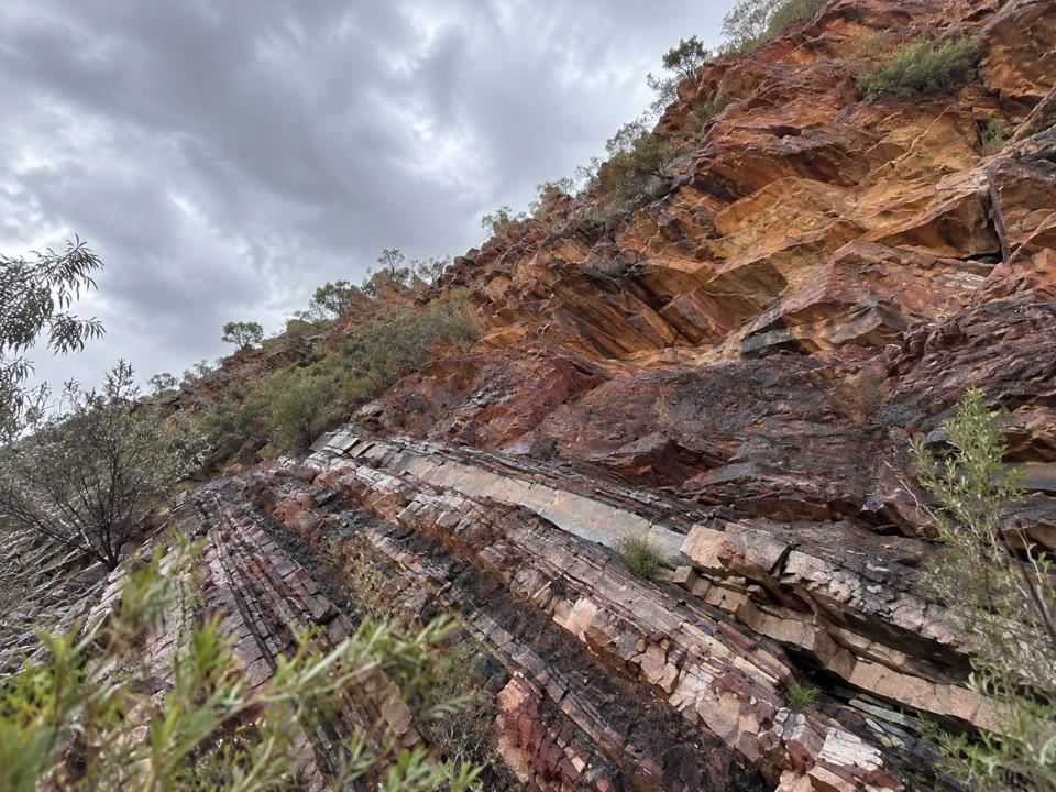
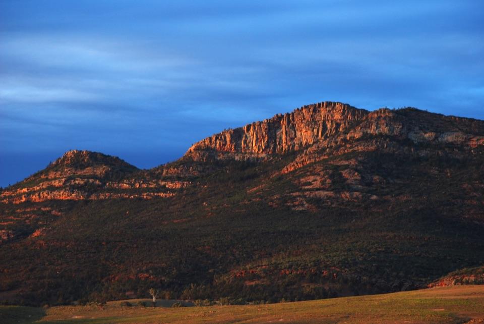
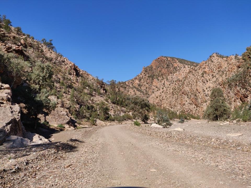
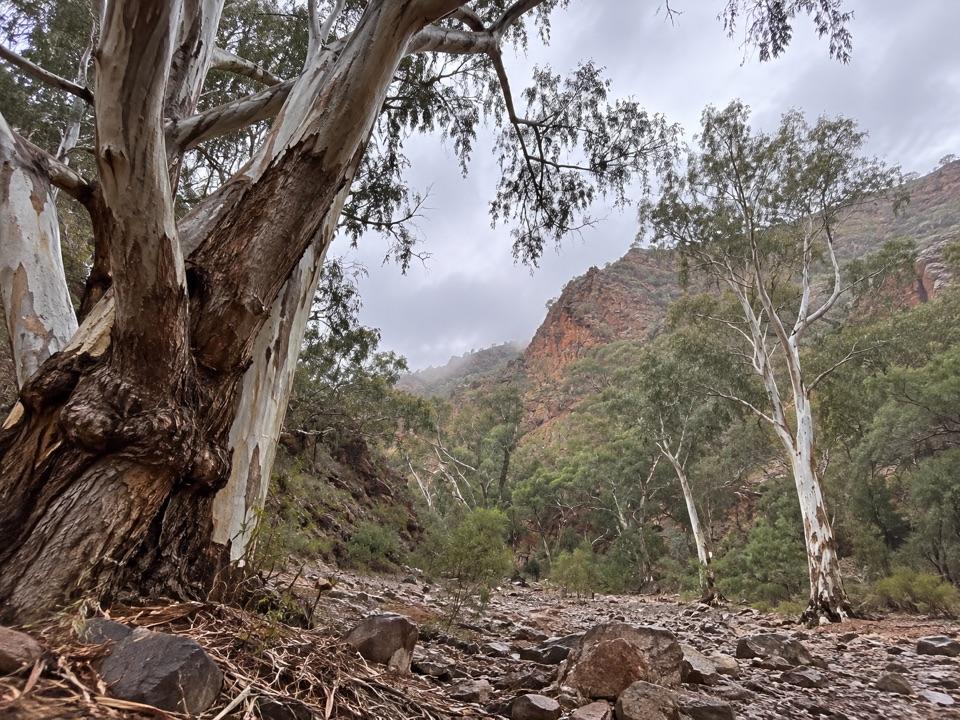
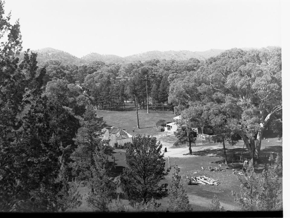
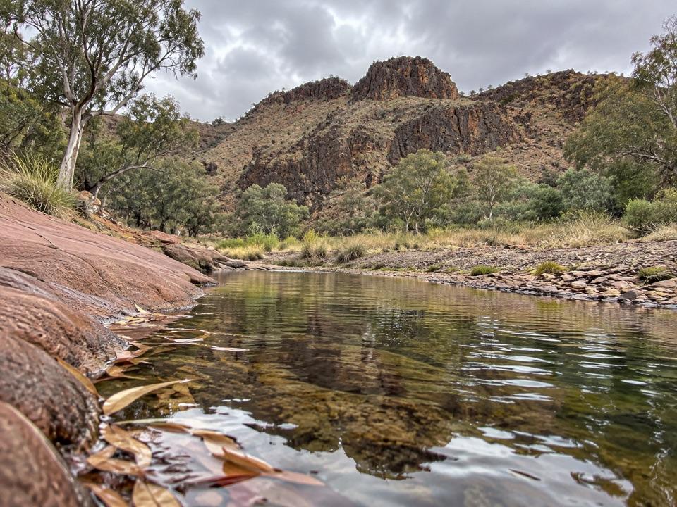
Wilkawillina Gorge is a creek-cut gorge on the park’s eastern side, where Ten Mile Creek runs between dry slopes and layered rock walls. A permanent waterhole sets it apart from the surrounding country, and the gorge is habitat for Yellow-footed Rock-wallabies. This is a serious walk rather than a roadside stop: the full line is about 12.7 km one way and takes around six hours, so arrange a lift or car shuffle.
What the walk is likeThe route is a hard Grade 4 hike.
The route is a hard Grade 4 hike. A shorter out-and-back from Mt Billy Creek to the gorge’s eastern end is 14.6 km return, about seven hours. A steep, narrow section climbs to a saddle lookout before dropping toward the creek; the descent has loose rock. Along the creek, look for the permanent waterhole, bright bulrushes and red sandstone boulders. Rock-wallabies use the gorge, but sightings aren’t guaranteed.
Make the visit workMt Billy Creek Trailhead is at the end of 6.
Mt Billy Creek Trailhead is at the end of 6.5 km of gravel Wilkawillina Road, off gravel Wirrealpa Road; Little Bunkers is another trailhead, but its small roadside pull-off is easy to miss. Take plenty of water: park guidance calls for at least four litres per person on walks over two hours. April to October is the milder bushwalking season, and trails close on Catastrophic Fire Danger days. At the waterhole, frame the bulrushes with the layered gorge walls.
Wildlife
Wildlife in Ikara-Flinders Ranges
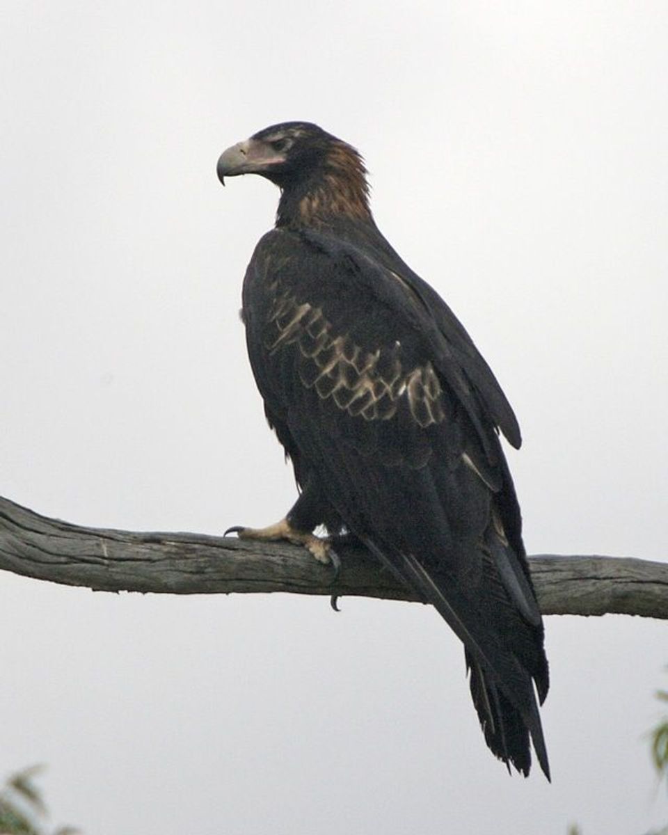 75 sightingsWedge-tailed EagleMost seen around 10 AMSighting map
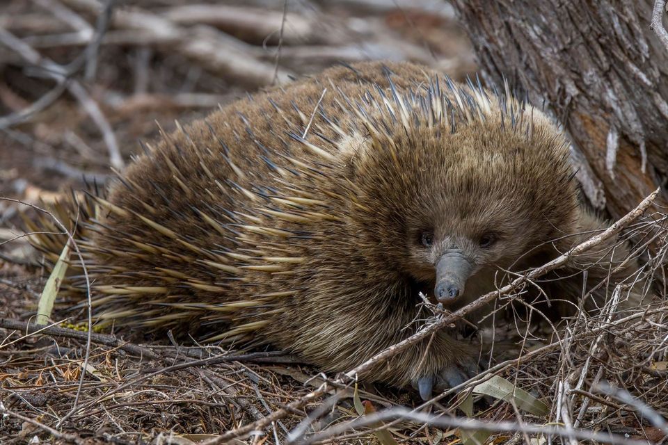 107 sightingsShort-beaked EchidnaMost seen around 6 PMSighting map
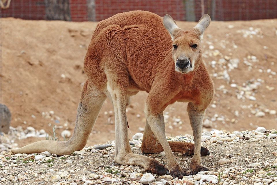 69 sightingsRed KangarooMost seen around 5 PMSighting map
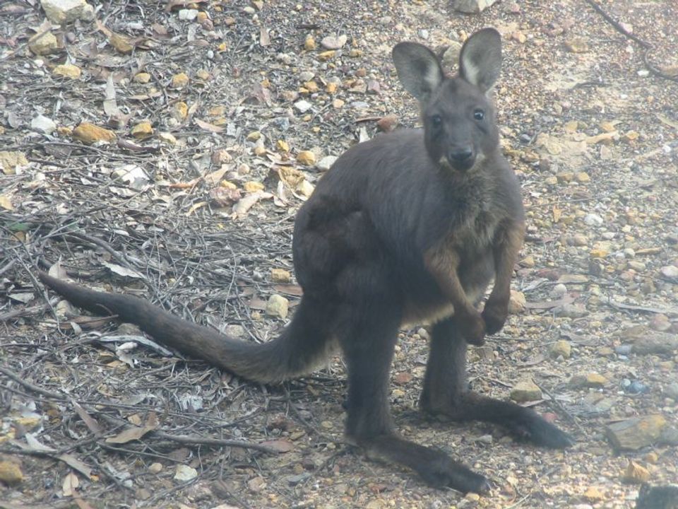 223 sightingsCommon WallarooMost seen around 6 PMSighting map
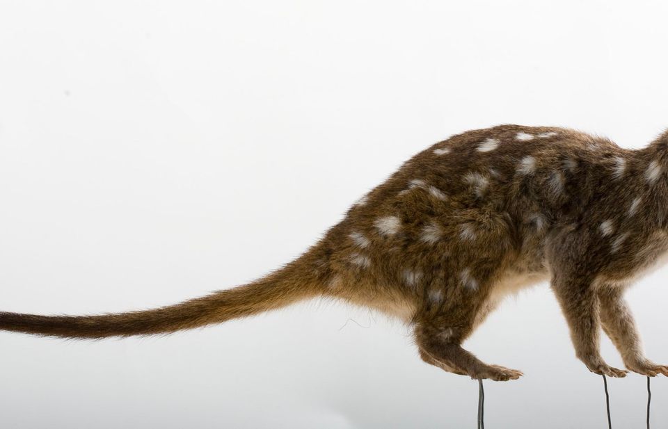 56 sightingsWestern QuollMost seen around 6 PMSighting map
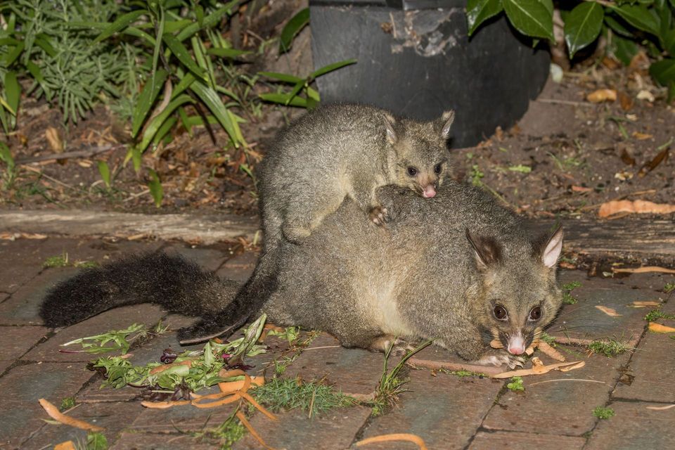 48 sightingsCommon Brushtail PossumMost seen around 6 PMSighting map
Sighting maps show where each species has been reported across Ikara-Flinders Ranges. Wildlife moves, so no sighting is guaranteed.