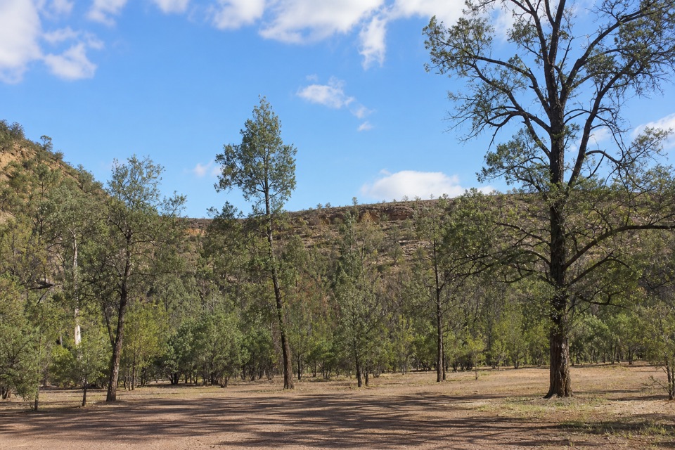
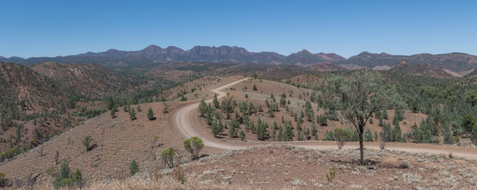
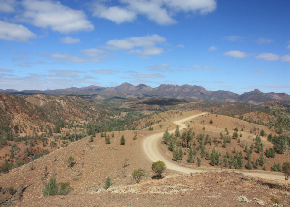
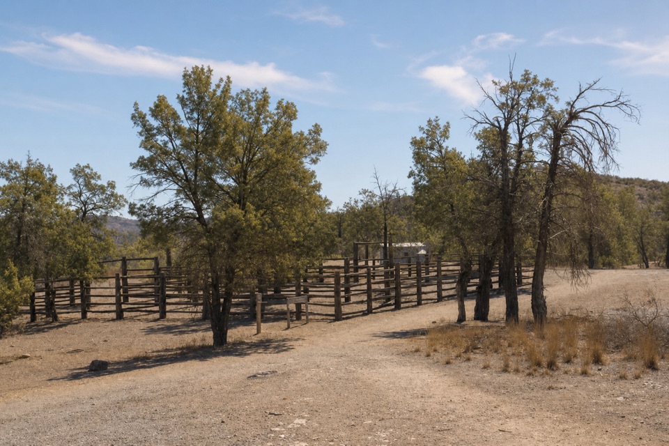
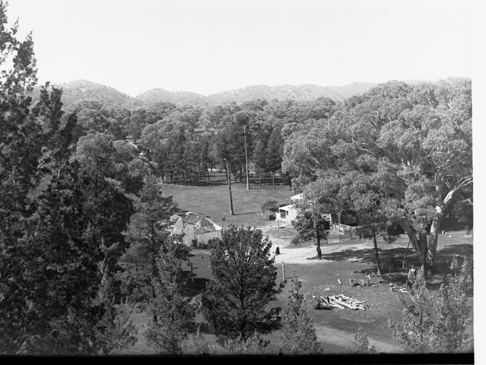
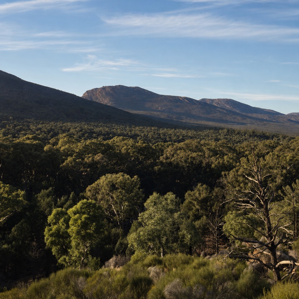
Bunyeroo Gorge in Ikara-Flinders Ranges National Park

#4 of 28 sights in Ikara-Flinders Ranges

Sight · Ikara-Flinders Ranges National Park

Bunyeroo Gorge

Follow an old coach route through a gum-lined creek bed.

Type
Sight
Nearest trail
1.5 km
Audio stories
3 nearby

Hear the audio tour

Bunyeroo Gorge and Twin Gums

Overview

About Bunyeroo Gorge

Why stop

  • A creek-bed walk through a gum-lined gorge
  • A 19th-century transport route adds a story to the walk

Heads up

  • Natural creek-bed footing and crossings are less forgiving after rain

Map

Where it is

Loading the Ikara-Flinders Ranges map
Full map
SightBunyeroo Gorge-31.41364, 138.54250
Keep this map with you offline in the Parkwolf app

Plan your stop

Before you go

3 active Ikara-Flinders Ranges alerts

  • ClosureBunyeroo Gorge closed after heavy-rain damageMentions this placeBunyeroo Gorge on Bunyeroo Gorge Road remains closed because recent heavy rains caused damage and repair works are pending.Official details
  • ClosureMost of the park scheduled to close 6–9 NovemberMentions this placeMost of Ikara-Flinders Ranges National Park will close from 9:00 pm on 6 November until 9:00 pm on 9 November 2026 for public safety during a pest control and monitoring program.Official details
See all 3 alerts
A park ranger sits on a dash-mounted phone, talking, as Parkwolf’s Tour Guide plays “Army Cutworm Moths: A Grizzly Bear Buffet” on Grand Loop Road below Dunraven Pass in Yellowstone
Parkwolf Tour GuideThe highest, rockiest slopes around here are a summer buffet for grizzly bears.

Ikara-Flinders Ranges Tour Guide

Your drive to Bunyeroo Gorge, narrated.

Parkwolf is a GPS audio tour guide for Ikara-Flinders Ranges National Park. As you drive, it chimes in with what’s ahead: hidden gems, upcoming stops, history, geology, and wildlife, right through your car’s speakers.

Recorded for this place

Bunyeroo Gorge and Twin Gums
0:00 / 0:36
“You're approaching Bunyeroo Gorge. Its walk follows a broad creek bed beneath gum trees and rugged rock, the same natural passage bullock teams once used to carry copper, mail and produce toward the western plains.”

Plays as you drive up to Bunyeroo Gorge in the Parkwolf Ikara-Flinders Ranges Tour Guide.

More stories near here in the app

  • Two Clouds That Are Galaxies
  • When the Sea Deepened at Bunyeroo
  • Razorback and Bunyeroo Valley Lookouts
  • The Sleepy Lizard's Blue Warning
  • 49 audio storiesacross Ikara-Flinders Ranges’s roads, triggered by GPS as you drive
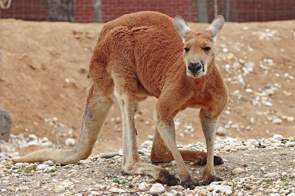
  • Wildlife heatmapsfor Wedge-tailed Eagle, Short-beaked Echidna, Red Kangaroo, and 13 more
  • Works offlinemaps, 21 trails, 43 places, and audio download before you lose signal
  • CarPlay readysimple controls built for the drive
★★★★★
“Fantastic app with many points of information… It’s great to just turn on while you’re driving and it gives you an audio tour of the national Park. We love it!!!!”
JMJamesApp Store review
Download Parkwolf on the App StoreGet Parkwolf on Google Play

4.7 from 8,600+ ratings

Guide

More about Bunyeroo Gorge

A creek walk through a major gorgeBunyeroo Gorge is a broad, gum-lined creek corridor framed by rugged rock in the northern part…

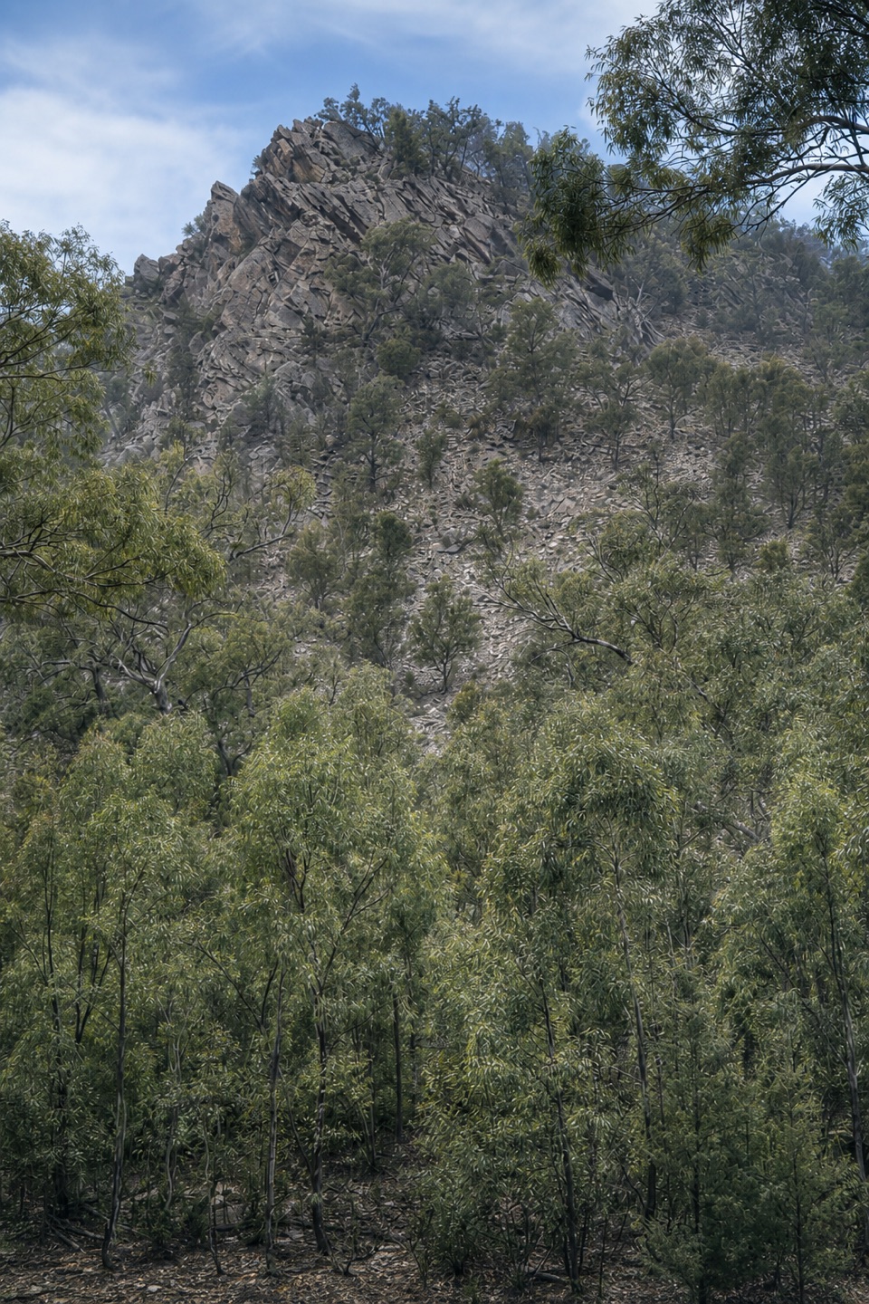
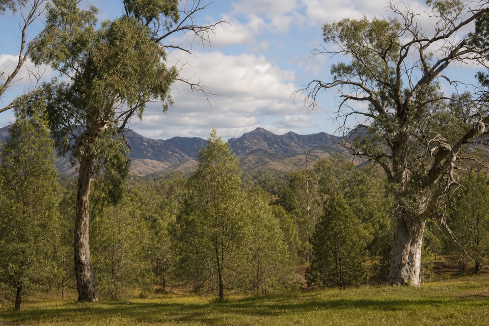
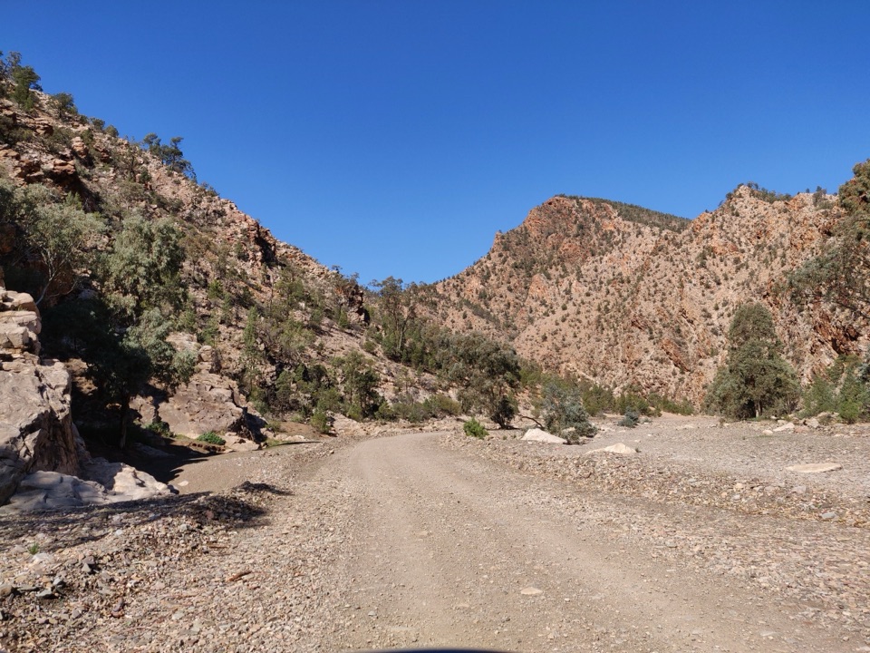
Bunyeroo Gorge is a broad, gum-lined creek corridor framed by rugged rock in the northern part of Ikara-Flinders Ranges National Park. The park counts it among its principal gorges, but the walk is a closer, slower experience than a view from the road: most of the route is the creek bed itself. Keep it for a half-day when you want to move through the landscape at walking pace. If you have time only for a brief stop, this longer creek-bed walk may be more commitment than you need. A route outline gives 7.5 km return and about three and a half hours; estimates elsewhere vary, so plan flexibly rather than treating that as a promise.

Follow the creek bedStart at Bunyeroo car park, about 18 km north of Wilpena along Bunyeroo Gorge Road.

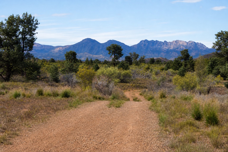
Start at Bunyeroo car park, about 18 km north of Wilpena along Bunyeroo Gorge Road. The mapped route is a walking path, but on the ground it is mostly broad creek bed over natural earth and stone, more a wander than a continuously built track. The terrain is described as flat; don't read that as smooth. Expect to choose your footing and cross the creek in several places. Visitor reports say recent rain makes some crossings wet and muddy, so the easiest conditions are likely after a dry spell. The listed distance and time vary between descriptions; the route is a return walk rather than a sharply marked line, so use 7.5 km and around three and a half hours as a planning guide, with room to stop or turn back.

A working passage through the rangesIn the 19th century, bullock teams and coaches used the gorge to carry copper, mail and produce…

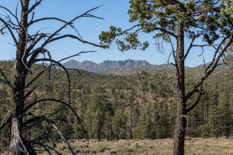
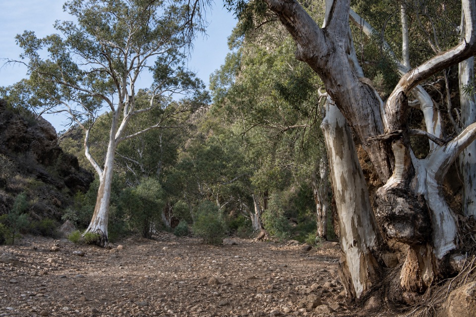
In the 19th century, bullock teams and coaches used the gorge to carry copper, mail and produce to the western plains. It was a practical crossing through the ranges before it became a walking destination, which gives the broad creek bed a more interesting story than scenery alone. The park describes its gorges as peaceful and gum-lined, framed by rugged rock formations. You'll pass through that combination on the walk, with trees in the creek corridor and rock close by rather than a single lookout doing all the work. There isn't a named photo platform to aim for. For a picture that explains the setting, place a pale gum trunk near one side of the frame and keep creek bed and rock in view; a close tree portrait loses the gorge around it.

Plan around weatherAccess is by unsealed Bunyeroo Gorge Road, which can be affected by weather.

Access is by unsealed Bunyeroo Gorge Road, which can be affected by weather. Check park access notices before driving; road and creek conditions both respond to heavy rain. Mild temperatures from April to October are the more comfortable bushwalking season, while summer highs can reach 30–45°C. Walking trails close on catastrophic fire-danger days. Facilities at Bunyeroo car park, including toilets and drinking water, haven't been confirmed for this walk, so sort food and water before leaving Wilpena. Dogs aren't permitted in the national park. The route is marked unsuitable for wheelchairs, and a natural creek bed is not a firm surfaced path.

Wildlife

Wildlife in Ikara-Flinders Ranges

All Ikara-Flinders Ranges wildlife maps

Sighting maps show where each species has been reported across Ikara-Flinders Ranges. Wildlife moves, so no sighting is guaranteed.

Parkwolf’s Ikara-Flinders Ranges ranking

Top sights in Ikara-Flinders Ranges

All 43 places
  1. 1Ikara Wilpena PoundSight
  2. 2Brachina GorgeSight
  3. 3Arkaroo Rock (Akurra Adnya)Sight
  4. 5Old Wilpena Station Historic PrecinctSight
  5. 6St Mary Peak – Ngarri MudlanhaSight
  6. 7Wangara LookoutSight

Take Parkwolf to Ikara-Flinders Ranges.

The audio tour guide for the drive, plus offline maps, trails, and wildlife heatmaps for when the signal drops.

4.7 from 8,600+ ratings

Download Parkwolf on the App StoreGet Parkwolf on Google Play