St Mary Peak – Ngarri Mudlanha in Ikara-Flinders Ranges National Park

#6 of 28 sights in Ikara-Flinders Ranges

Sight · Ikara-Flinders Ranges National Park

St Mary Peak – Ngarri Mudlanha

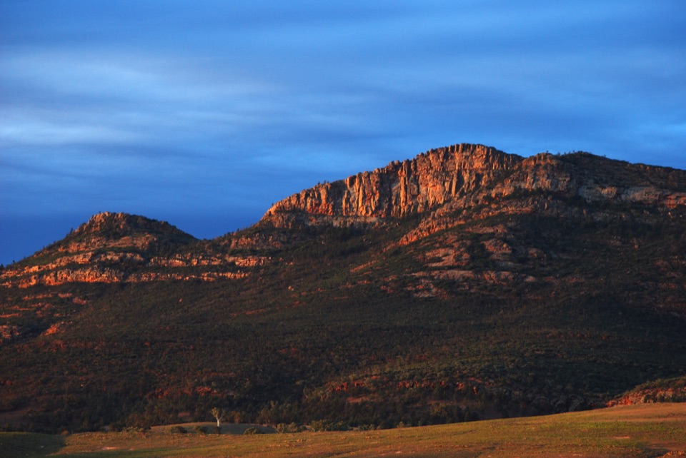
Keep the summit unclimbed; take in Wilpena Pound from Tanderra Saddle.

Photo: Wikimedia Commons
Type
Sight
Nearest trail
5.7 km
  • Trailhead
  • Scenic viewpoint

Hear the audio tour

Ngarri Mudlanha and Tanderra Saddle

Overview

About St Mary Peak – Ngarri Mudlanha

Why stop

  • Far-reaching views over Wilpena Pound and the Flinders Ranges

Heads up

  • A steep, rocky full-day walk; the summit climb is culturally discouraged

Map

Where it is

Loading the Ikara-Flinders Ranges map
Full map
SightSt Mary Peak – Ngarri Mudlanha-31.50359, 138.55207
Keep this map with you offline in the Parkwolf app

Plan your stop

Before you go

3 active Ikara-Flinders Ranges alerts

  • ClosureBunyeroo Gorge closed after heavy-rain damageBunyeroo Gorge on Bunyeroo Gorge Road remains closed because recent heavy rains caused damage and repair works are pending.Official details
  • ClosureNightly closures on multiple walking trailsTwelve walking tracks and trails close nightly through 31 October 2026 for pest control operations.Official details
See all 3 alerts
A park ranger sits on a dash-mounted phone, talking, as Parkwolf’s Tour Guide plays “Army Cutworm Moths: A Grizzly Bear Buffet” on Grand Loop Road below Dunraven Pass in Yellowstone
Parkwolf Tour GuideThe highest, rockiest slopes around here are a summer buffet for grizzly bears.

Ikara-Flinders Ranges Tour Guide

Your drive to St Mary Peak – Ngarri Mudlanha, narrated.

Parkwolf is a GPS audio tour guide for Ikara-Flinders Ranges National Park. As you drive, it chimes in with what’s ahead: hidden gems, upcoming stops, history, geology, and wildlife, right through your car’s speakers.

Recorded for this place

Ngarri Mudlanha and Tanderra Saddle
0:00 / 0:30
“You're approaching the access for Ngarri Mudlanha, also called St Mary Peak. The Adnyamathanha people ask visitors to leave its culturally important summit unclimbed, so make Tanderra Saddle your goal.”

Plays as you drive up to St Mary Peak – Ngarri Mudlanha in the Parkwolf Ikara-Flinders Ranges Tour Guide.

More stories near here in the app

  • Wilpena Visitor Centre and Resort
  • Inside Ikara Wilpena Pound
  • Ripples Kept in Stone
  • When the Sea Deepened at Bunyeroo
  • 49 audio storiesacross Ikara-Flinders Ranges’s roads, triggered by GPS as you drive
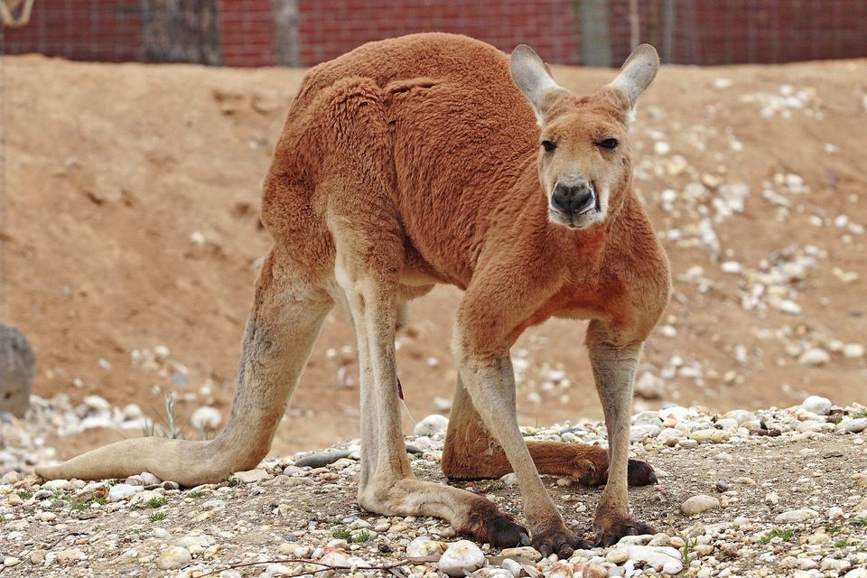
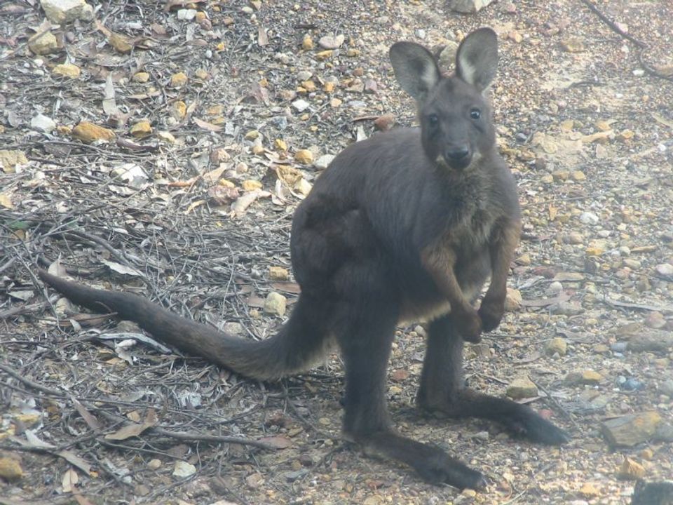
  • Wildlife heatmapsfor Wedge-tailed Eagle, Short-beaked Echidna, Red Kangaroo, and 13 more
  • Works offlinemaps, 21 trails, 43 places, and audio download before you lose signal
  • CarPlay readysimple controls built for the drive
★★★★★
“Fantastic app with many points of information… It’s great to just turn on while you’re driving and it gives you an audio tour of the national Park. We love it!!!!”
JMJamesApp Store review
Download Parkwolf on the App StoreGet Parkwolf on Google Play

4.7 from 8,600+ ratings

Guide

More about St Mary Peak – Ngarri Mudlanha

A mountain at the heart of Wilpena PoundSt Mary Peak – Ngarri Mudlanha is a 1,171-metre summit on the wall of Wilpena Pound, the vast…

St Mary Peak – Ngarri Mudlanha is a 1,171-metre summit on the wall of Wilpena Pound, the vast natural basin at the centre of Ikara-Flinders Ranges. It is one of the range’s defining peaks, and it matters for more than its height: the Adnyamathanha people regard it as central to their creation story and would prefer visitors not to climb to its summit. Make Tanderra Saddle your goal instead. Parks SA describes it as the shorter option and says the views are still spectacular.

The full direct walk from the Wilpena Visitor Centre bushwalking trailhead to the summit is 14.6 kilometres return and takes about six hours. The loop is 21.5 kilometres and about nine hours. Both are serious outings; the saddle is the better choice if you want the mountain views while respecting the Adnyamathanha request.

The climb and the viewsThe route leaves from the bushwalking trailhead in the Wilpena Visitor Centre complex and…

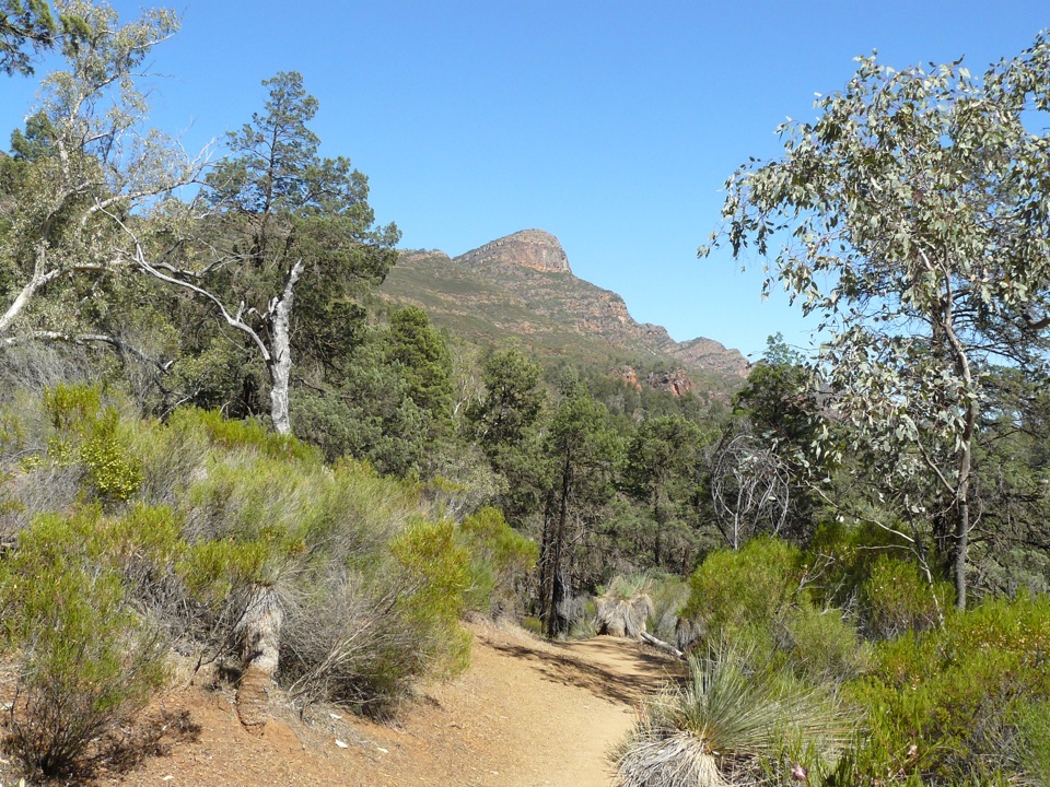
The route leaves from the bushwalking trailhead in the Wilpena Visitor Centre complex and climbs onto the Pound’s rim. Expect steep stretches over loose, rubbly rock, with a short exposed scramble near Tanderra Saddle. This isn’t a quick roadside lookout: even the shorter objective takes a sustained uphill walk, so it suits hikers who are comfortable with rough mountain paths.

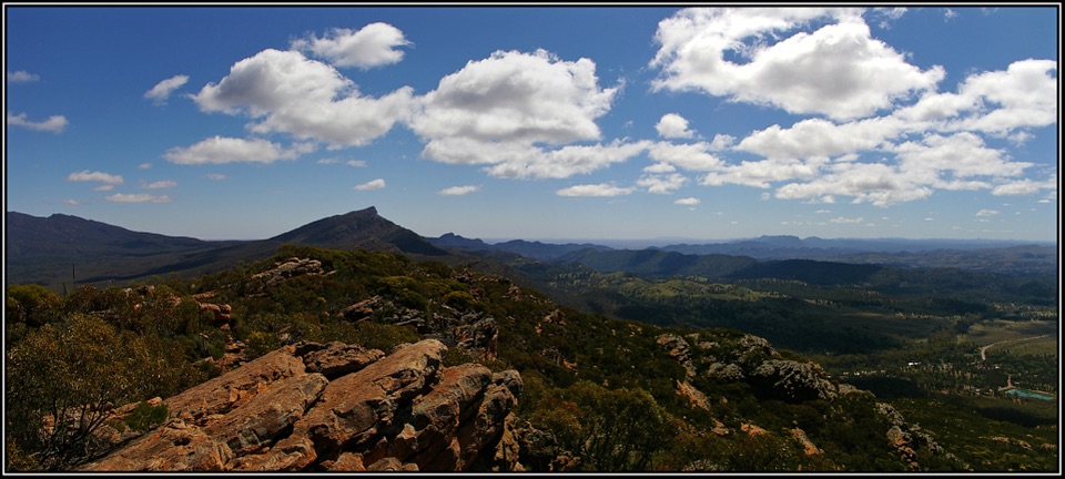
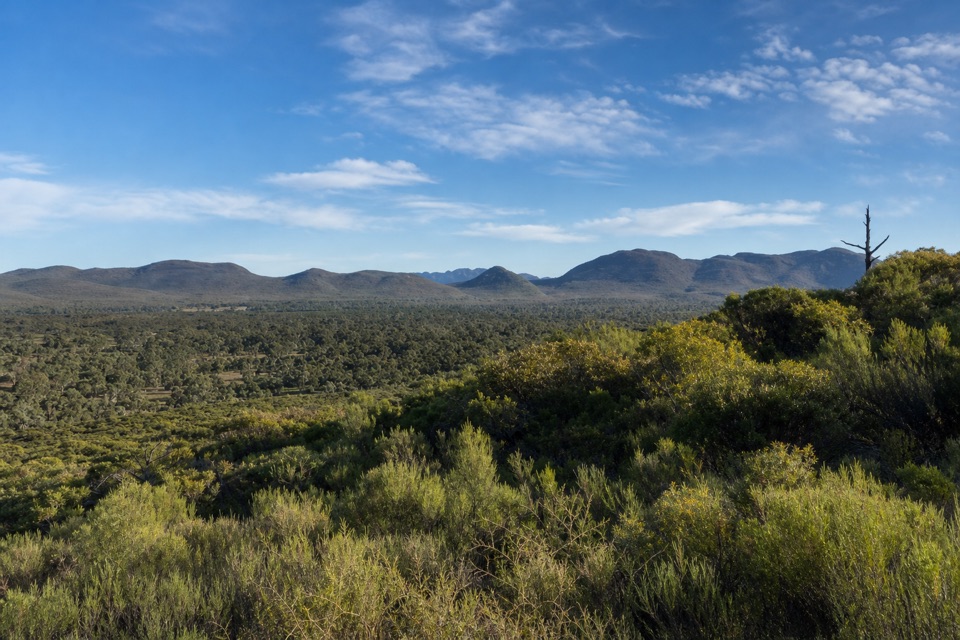
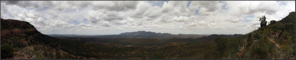
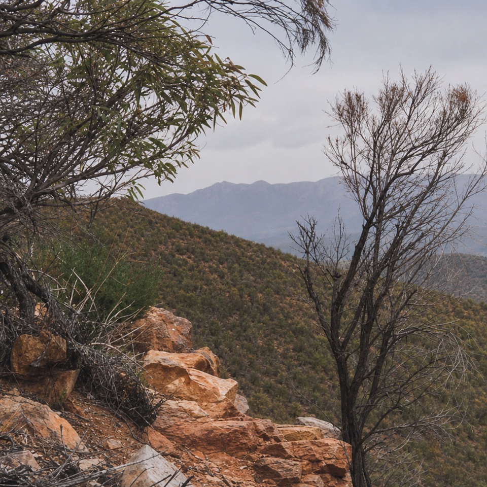
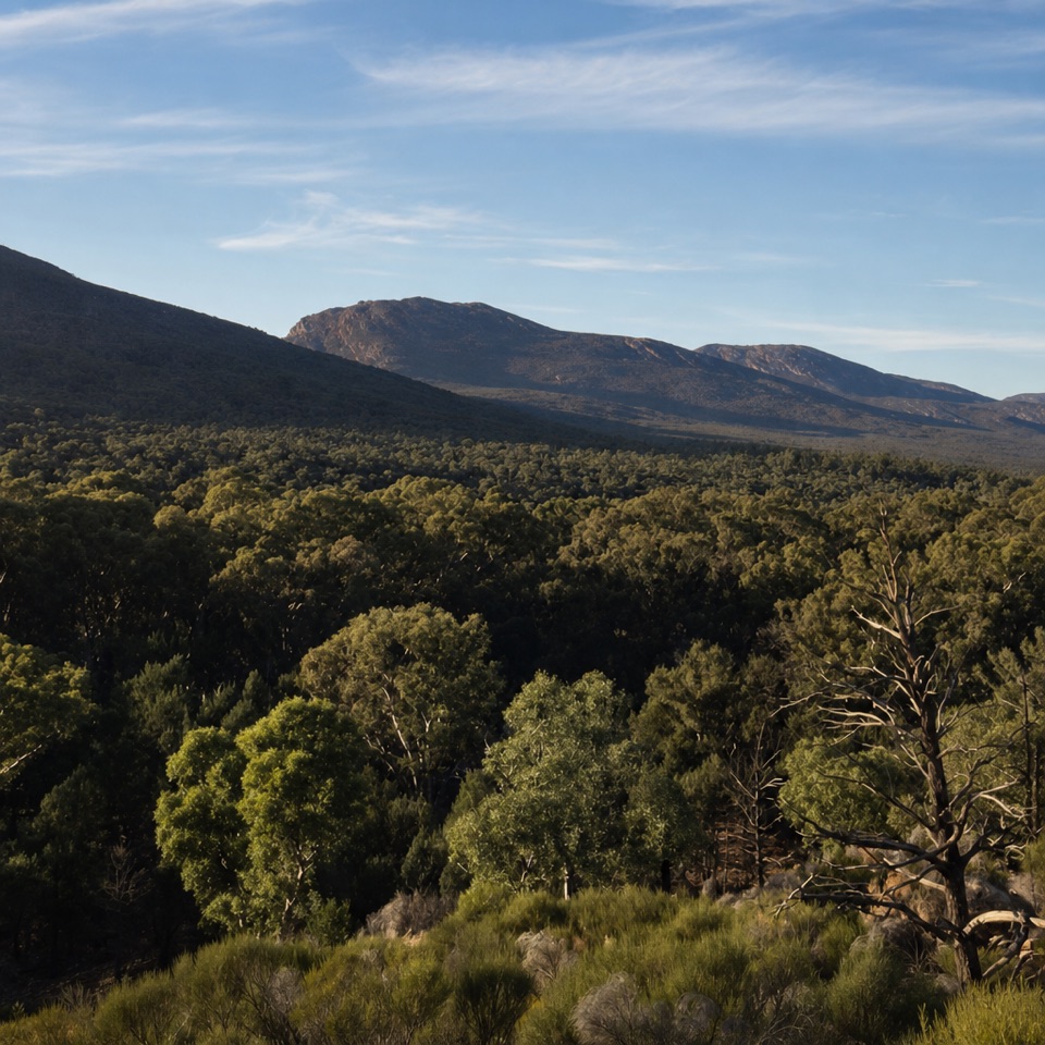
At the saddle, the view opens over Wilpena Pound and the surrounding Flinders Ranges. From the route you can also look north across Aroona Valley and west toward the salt plains. If you’re taking a photo, the view back toward the Pound is broader from the rocky ledges just beyond the saddle sign; getting there means continuing along the rough track, so stop where the ground and conditions feel right.

What the loop addsThe longer circuit gives you a different return through the basin.

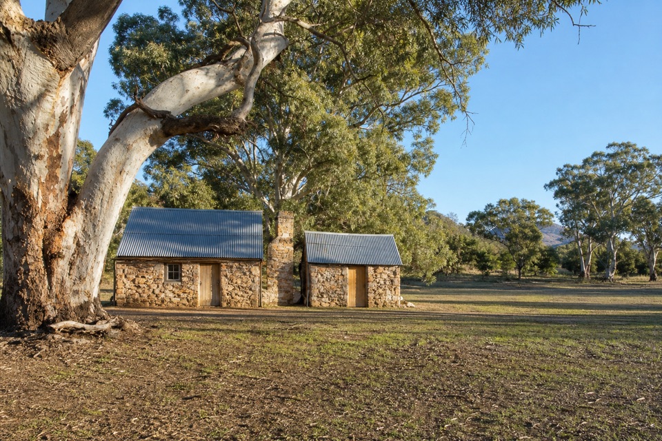
The longer circuit gives you a different return through the basin. After the exposed upper climb, it descends into forest and crosses the floor of Wilpena Pound, with views of the surrounding ranges on both sides. The route passes Hills Homestead, built in 1888 by the Hills family, who ran sheep here. You can see the homestead from outside and look at its interpretation boards before carrying on through the trees toward the resort.

That change of scenery is the appeal of the loop, but it adds several kilometres and a few hours. Choose it for a full day on foot, not because you think the summit is the only worthwhile destination. The saddle already gives you the high, open outlook that makes this walk special.


Plan the walkStart at the Wilpena Visitor Centre bushwalking trailhead.

Start at the Wilpena Visitor Centre bushwalking trailhead. Rangers recommend leaving by 9 am, or 10 am during daylight saving, and the peak trail closes in December, January and February. Allow the full official time for whichever route you choose, and carry food and water for a long day on the hill. The short route is not a short walk; the loop is a commitment from start to finish.

Check the park’s current trail status before setting out, since weather and seasonal management can affect access. The peak remains the landmark above you either way; the recommended visit ends at Tanderra Saddle, with the summit left unclimbed in respect for Adnyamathanha wishes.

Wildlife

Wildlife in Ikara-Flinders Ranges

All Ikara-Flinders Ranges wildlife maps

Sighting maps show where each species has been reported across Ikara-Flinders Ranges. Wildlife moves, so no sighting is guaranteed.

Keep exploring

Near St Mary Peak – Ngarri Mudlanha

See it all on the map

Trails nearby

More stops nearby

Parkwolf’s Ikara-Flinders Ranges ranking

Top sights in Ikara-Flinders Ranges

All 43 places
  1. 1Ikara Wilpena PoundSight
  2. 2Brachina GorgeSight
  3. 3Arkaroo Rock (Akurra Adnya)Sight
  4. 4Bunyeroo GorgeSight
  5. 5Old Wilpena Station Historic PrecinctSight
  6. 7Wangara LookoutSight

Take Parkwolf to Ikara-Flinders Ranges.

The audio tour guide for the drive, plus offline maps, trails, and wildlife heatmaps for when the signal drops.

4.7 from 8,600+ ratings

Download Parkwolf on the App StoreGet Parkwolf on Google Play