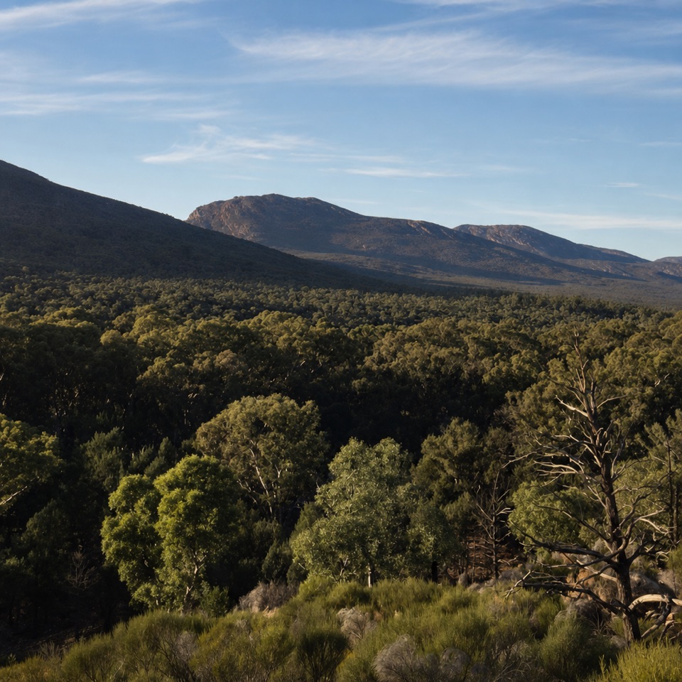
Brachina Gorge in Ikara-Flinders Ranges National Park

#2 of 28 sights in Ikara-Flinders Ranges

Sight · Ikara-Flinders Ranges National Park

Brachina Gorge

A 20 km drive through ancient rock and the Ediacaran story.

Photo: Wikimedia Commons
Type
Sight
Nearest trail
6.8 km
Audio stories
6 nearby
  • Parking
  • Scenic viewpoint

Hear the audio tour

Brachina Gorge Geological Drive

Overview

About Brachina Gorge

Why stop

  • Signed geological stops make the landscape easier to read
  • Yellow-footed rock-wallaby habitat

Heads up

  • Unsealed road conditions can change with weather

Map

Where it is

Loading the Ikara-Flinders Ranges map
Full map
SightBrachina Gorge-31.34632, 138.55828
Keep this map with you offline in the Parkwolf app

Plan your stop

Before you go

3 active Ikara-Flinders Ranges alerts

  • ClosureBunyeroo Gorge closed after heavy-rain damageMentions this placeBunyeroo Gorge on Bunyeroo Gorge Road remains closed because recent heavy rains caused damage and repair works are pending.Official details
  • ClosureMost of the park scheduled to close 6–9 NovemberMentions this placeMost of Ikara-Flinders Ranges National Park will close from 9:00 pm on 6 November until 9:00 pm on 9 November 2026 for public safety during a pest control and monitoring program.Official details
See all 3 alerts
A park ranger sits on a dash-mounted phone, talking, as Parkwolf’s Tour Guide plays “Army Cutworm Moths: A Grizzly Bear Buffet” on Grand Loop Road below Dunraven Pass in Yellowstone
Parkwolf Tour GuideThe highest, rockiest slopes around here are a summer buffet for grizzly bears.

Ikara-Flinders Ranges Tour Guide

Your drive to Brachina Gorge, narrated.

Parkwolf is a GPS audio tour guide for Ikara-Flinders Ranges National Park. As you drive, it chimes in with what’s ahead: hidden gems, upcoming stops, history, geology, and wildlife, right through your car’s speakers.

Recorded for this place

Brachina Gorge Geological Drive
0:00 / 0:35
“You're coming up on Brachina Gorge, a twenty-kilometre gravel drive that doubles as an outdoor geology trail.”

Plays as you drive up to Brachina Gorge in the Parkwolf Ikara-Flinders Ranges Tour Guide.

More stories near here in the app

  • The Reef Hidden in Brachina
  • When Ice Crossed the Flinders
  • The Red Flower on the Ground
  • How the Gorges Cross the Ridges
  • 49 audio storiesacross Ikara-Flinders Ranges’s roads, triggered by GPS as you drive
  • Wildlife heatmapsfor Wedge-tailed Eagle, Short-beaked Echidna, Red Kangaroo, and 13 more
  • Works offlinemaps, 21 trails, 43 places, and audio download before you lose signal
  • CarPlay readysimple controls built for the drive
★★★★★
“Fantastic app with many points of information… It’s great to just turn on while you’re driving and it gives you an audio tour of the national Park. We love it!!!!”
JMJamesApp Store review
Download Parkwolf on the App StoreGet Parkwolf on Google Play

4.7 from 8,600+ ratings

Guide

More about Brachina Gorge

The geology driveBrachina Gorge Geological Trail is a 20-kilometre self-drive route on Brachina Gorge Road,…

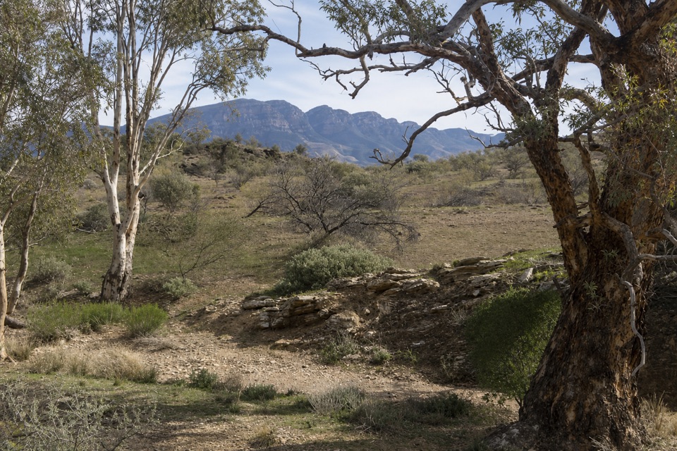
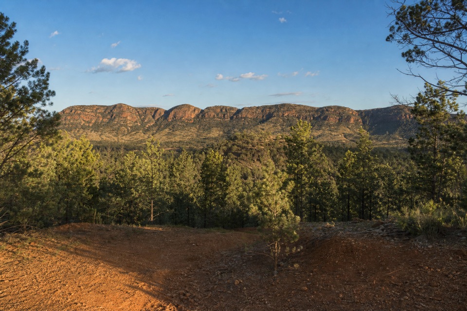
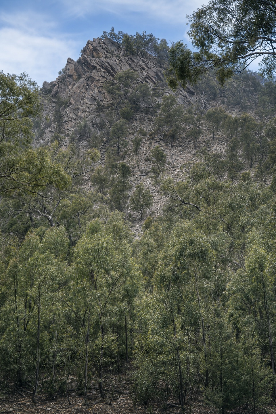
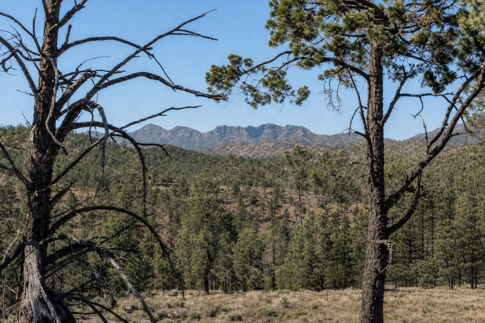
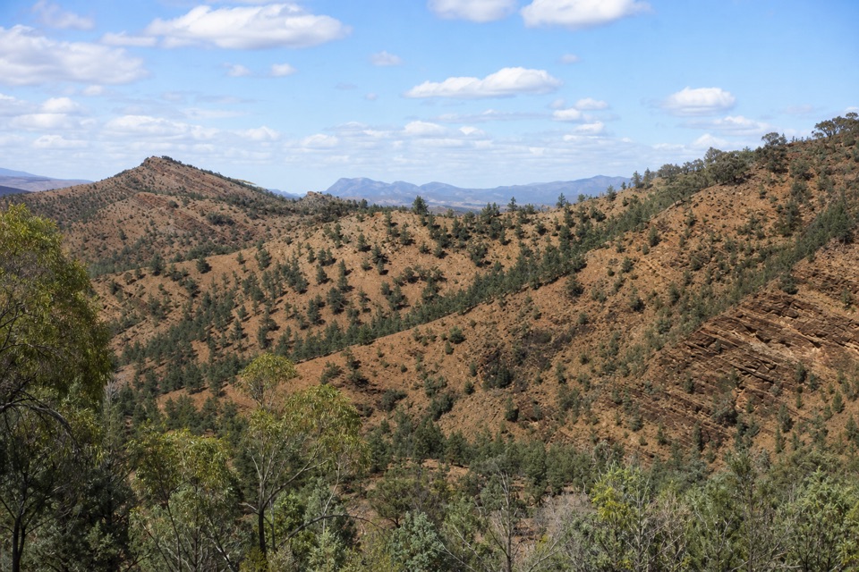
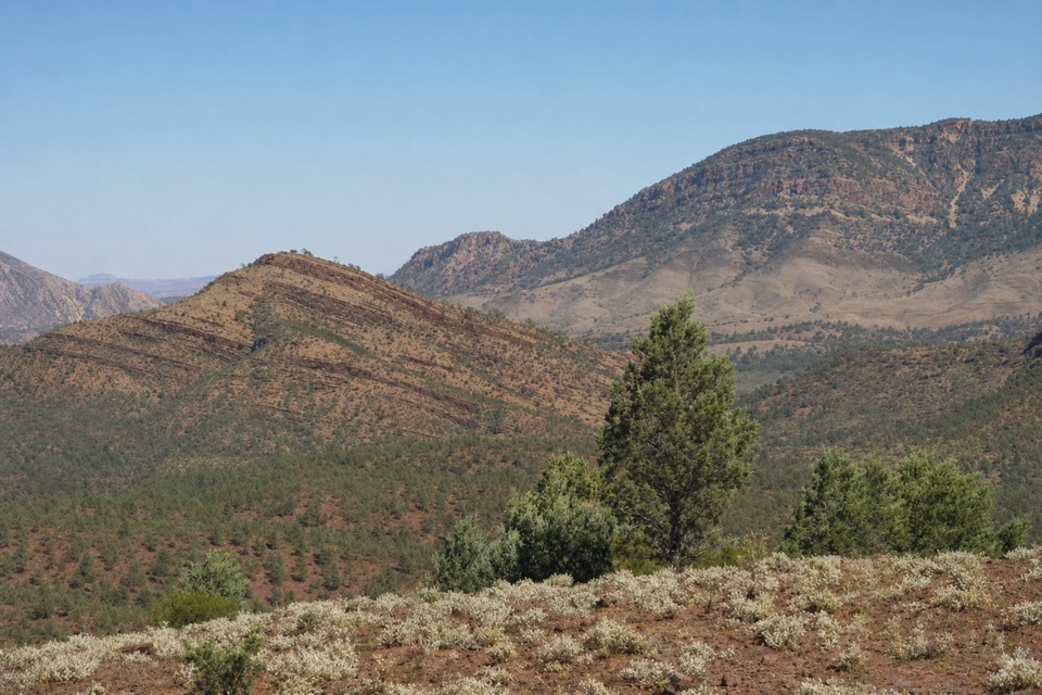
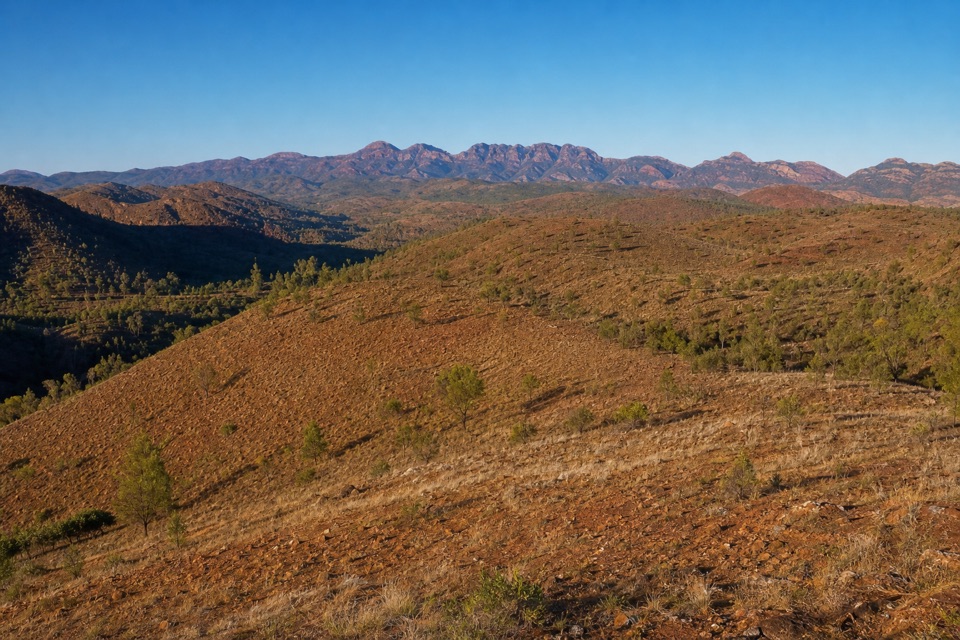
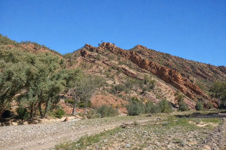
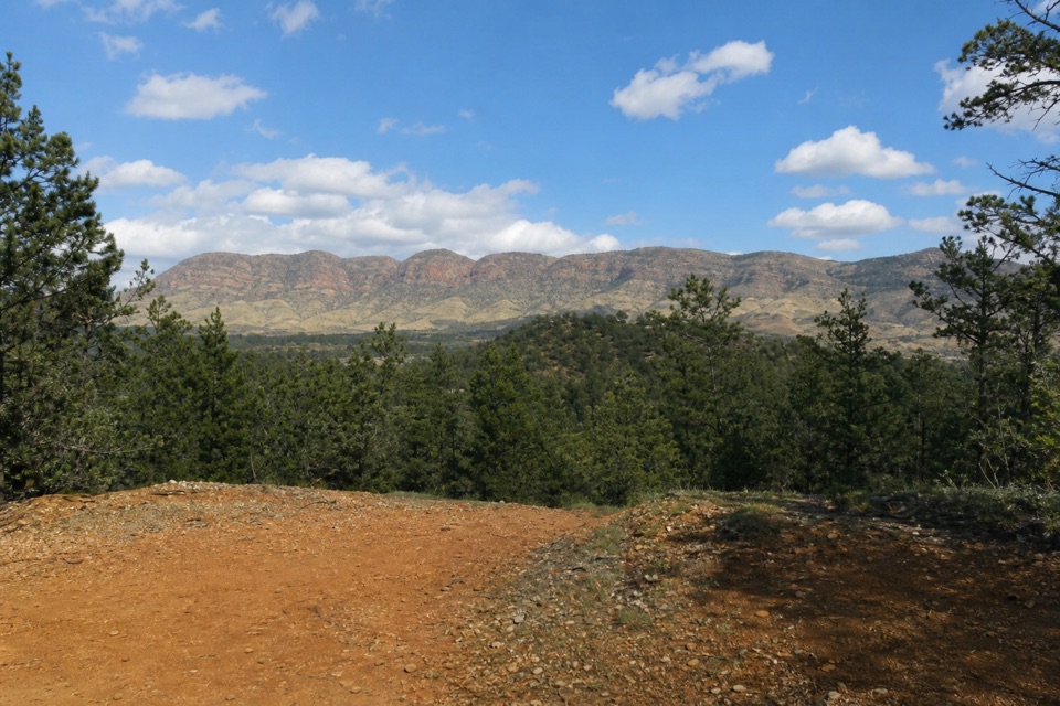
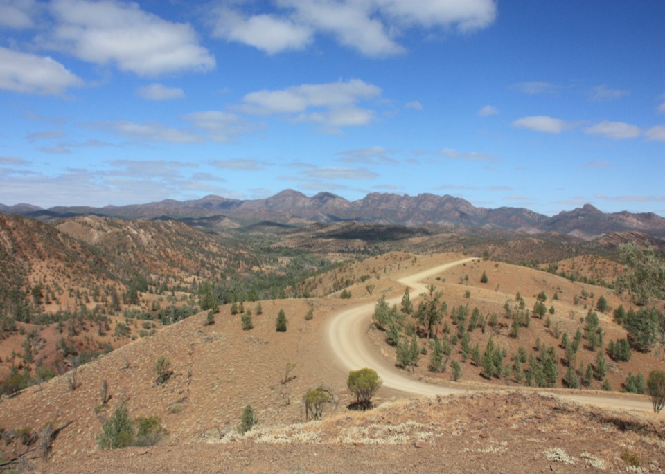
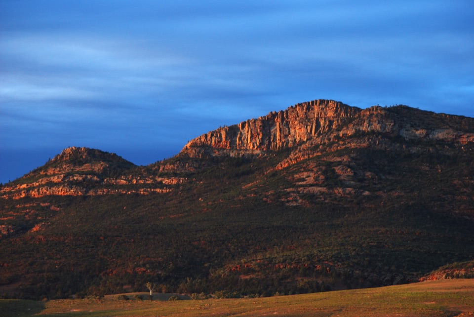
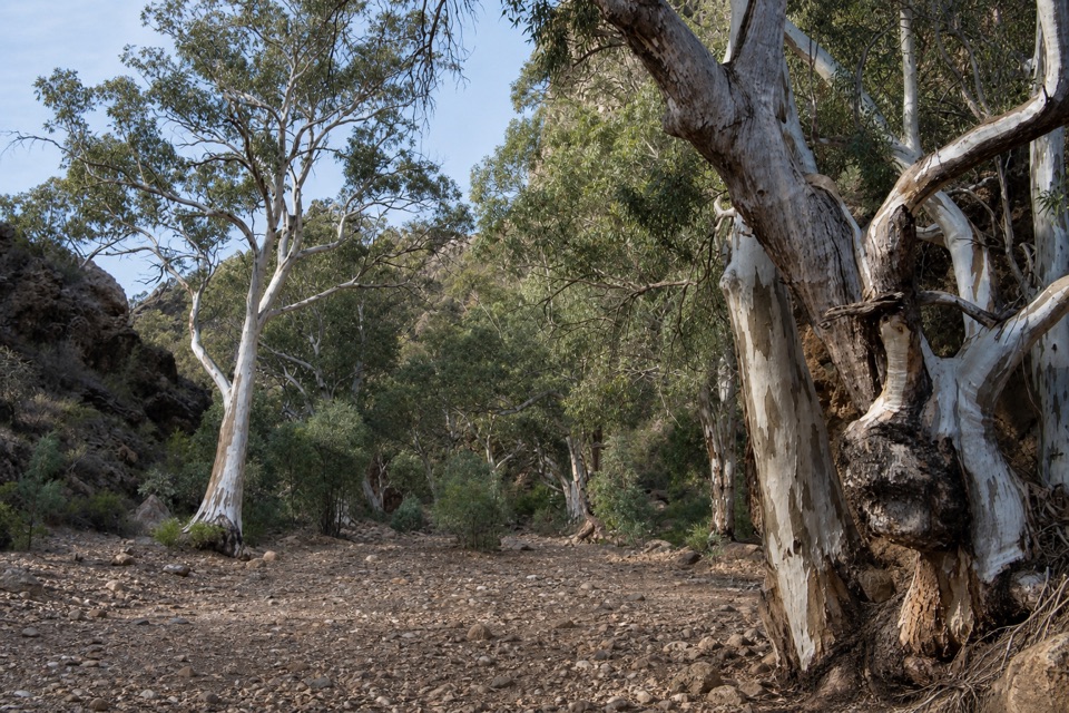
Brachina Gorge Geological Trail is a 20-kilometre self-drive route on Brachina Gorge Road, threading a gap between the Heysen and ABC ranges inside Ikara-Flinders Ranges National Park. It is a string of drive-and-look stops rather than one lookout: the unsealed road follows dry creek beds beneath sharply ridged quartzite walls, with signed places to get out and read the landscape. The signs explain how the ranges formed, what past climates were like and why the rock record matters to the story of early life. If you want one drive that makes geology feel like something you can see, not just a list of dates, keep this one.

Stop for the story in the rocksThe route's best-known marker is the Ediacaran Golden Spike beside Trezona Campground.

The route's best-known marker is the Ediacaran Golden Spike beside Trezona Campground. It is a small plaque and brass disc marking the beginning of the Ediacaran Period, about 635 to 541 million years ago. The gorge's layered rocks preserve evidence of early life as well as a much longer story of shifting environments; the trail puts that scale in view without asking you to be a geologist. Its signs connect the exposed rock and sediments with ancient climates and the formation of the ranges, so take a few minutes at the stops rather than treating the gorge as scenery to blur past. Trezona is a useful place to pause and connect the landscape to the marker.

Look up from the roadThe draw is the changing shape of the gorge: pale and rust-coloured slopes, sawtooth ridges and…

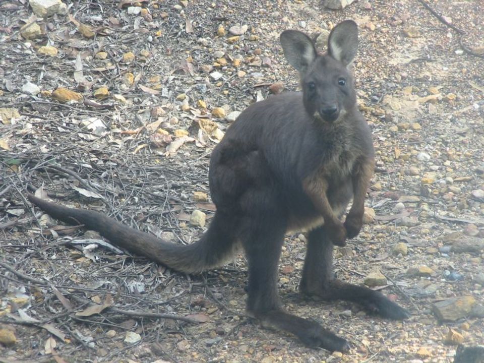
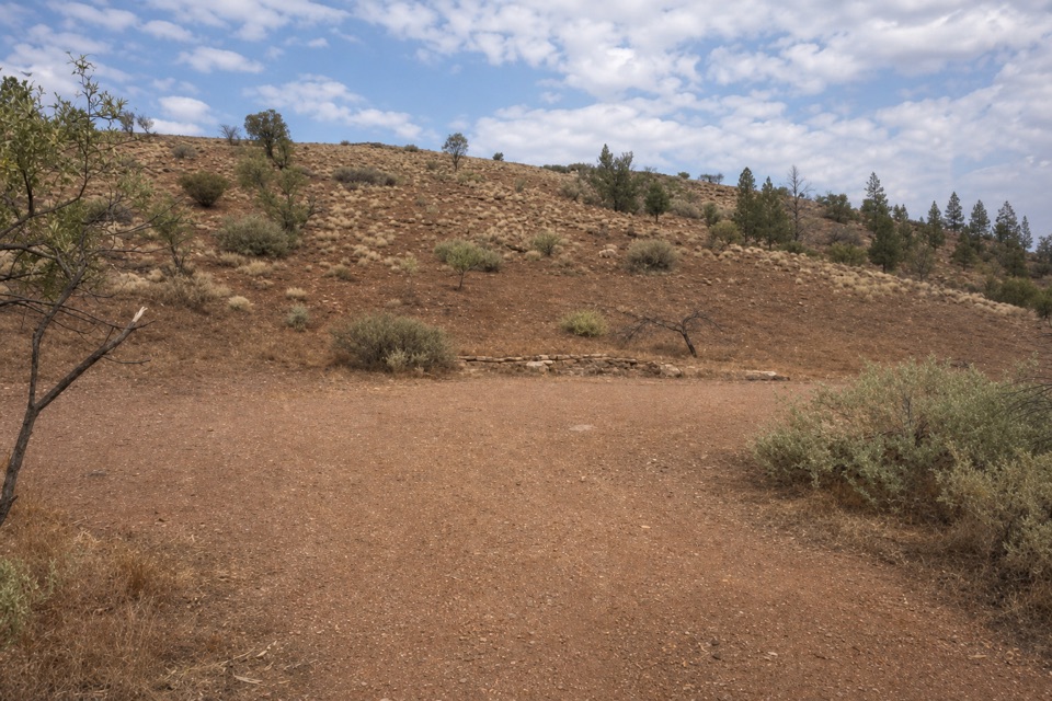
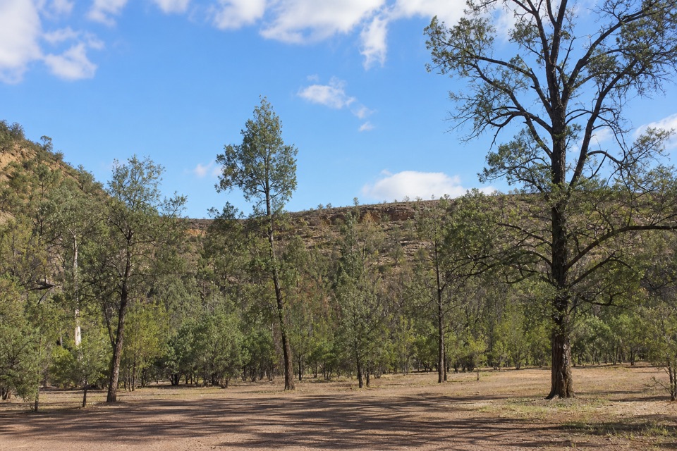
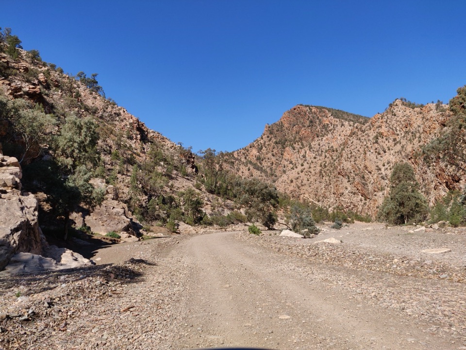
The draw is the changing shape of the gorge: pale and rust-coloured slopes, sawtooth ridges and walls that crowd the dry creek line. Brachina is also an important refuge for yellow-footed rock-wallabies. Slow down near the rocky slopes and scan the ledges, especially on the western side, but count a sighting as luck rather than part of the itinerary. For a photo, keep some of the creek bed or road edge in the foreground and frame the opposite rock wall across it; that gives the ridges a sense of scale and shows the gorge as a passage, not just a close crop of stone.

Set aside time for the gravelThe route is about 20 kilometres and can be approached from either end.

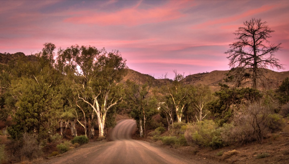
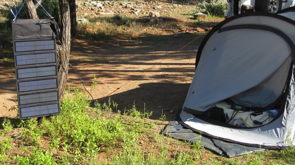
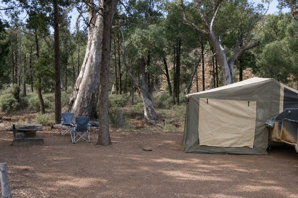
The route is about 20 kilometres and can be approached from either end. A common recommendation is to drive east to west, starting at the Blinman Road junction. This is an unsealed park road, not a smooth sealed shortcut: the surface changes with weather, and the park's vehicle guidance is high-clearance 2WD, caravans and trailers. Check current access conditions before setting out, especially after rain. A park vehicle entry pass is required. The trail listing identifies a car park and picnic area; no food sales in the gorge were verified, so bring what you need for the drive. Beside the Golden Spike, Trezona Campground has 15 unpowered sites, a long-drop toilet, picnic and BBQ facilities, plus a water tank. Its water supply and quality are not guaranteed, so don't make it your only drinking-water plan.

Wildlife

Wildlife in Ikara-Flinders Ranges

All Ikara-Flinders Ranges wildlife maps

Sighting maps show where each species has been reported across Ikara-Flinders Ranges. Wildlife moves, so no sighting is guaranteed.

Keep exploring

Near Brachina Gorge

See it all on the map

Trails nearby

More stops nearby

Parkwolf’s Ikara-Flinders Ranges ranking

Top sights in Ikara-Flinders Ranges

All 43 places
  1. 1Ikara Wilpena PoundSight
  2. 3Arkaroo Rock (Akurra Adnya)Sight
  3. 4Bunyeroo GorgeSight
  4. 5Old Wilpena Station Historic PrecinctSight
  5. 6St Mary Peak – Ngarri MudlanhaSight
  6. 7Wangara LookoutSight

Take Parkwolf to Ikara-Flinders Ranges.

The audio tour guide for the drive, plus offline maps, trails, and wildlife heatmaps for when the signal drops.

4.7 from 8,600+ ratings

Download Parkwolf on the App StoreGet Parkwolf on Google Play