Ikara Wilpena Pound in Ikara-Flinders Ranges National Park

#1 of 28 sights in Ikara-Flinders Ranges

Sight · Ikara-Flinders Ranges National Park

Ikara Wilpena Pound

A mountain-ringed basin you can walk into, not just view from afar.

Photo: Wikimedia Commons
Type
Sight
Nearest trail
3.8 km
  • Scenic viewpoint
  • Restrooms
  • Picnic tables

Hear the audio tour

Inside Ikara Wilpena Pound

Overview

About Ikara Wilpena Pound

Why stop

  • Walk through Pound Gap into the enclosed valley.
  • Wangara gives the basin a rare overhead view.

Heads up

  • The fuller view takes a steep extra climb.

Map

Where it is

Loading the Ikara-Flinders Ranges map
Full map
SightIkara Wilpena Pound-31.56063, 138.57523
Keep this map with you offline in the Parkwolf app

Plan your stop

Before you go

3 active Ikara-Flinders Ranges alerts

  • ClosureBunyeroo Gorge closed after heavy-rain damageBunyeroo Gorge on Bunyeroo Gorge Road remains closed because recent heavy rains caused damage and repair works are pending.Official details
  • ClosureNightly closures on multiple walking trailsTwelve walking tracks and trails close nightly through 31 October 2026 for pest control operations.Official details
See all 3 alerts
A park ranger sits on a dash-mounted phone, talking, as Parkwolf’s Tour Guide plays “Army Cutworm Moths: A Grizzly Bear Buffet” on Grand Loop Road below Dunraven Pass in Yellowstone
Parkwolf Tour GuideThe highest, rockiest slopes around here are a summer buffet for grizzly bears.

Ikara-Flinders Ranges Tour Guide

Your drive to Ikara Wilpena Pound, narrated.

Parkwolf is a GPS audio tour guide for Ikara-Flinders Ranges National Park. As you drive, it chimes in with what’s ahead: hidden gems, upcoming stops, history, geology, and wildlife, right through your car’s speakers.

Recorded for this place

Inside Ikara Wilpena Pound
0:00 / 0:34
“You're approaching Ikara Wilpena Pound, where the best view takes some walking: the mountains enclose a basin you can actually enter through Pound Gap.”

Plays as you drive up to Ikara Wilpena Pound in the Parkwolf Ikara-Flinders Ranges Tour Guide.

More stories near here in the app

  • Wilpena Visitor Centre and Resort
  • Cazneaux's Reversed View
  • Ngarri Mudlanha and Tanderra Saddle
  • The Trees That Trace Water
  • 49 audio storiesacross Ikara-Flinders Ranges’s roads, triggered by GPS as you drive
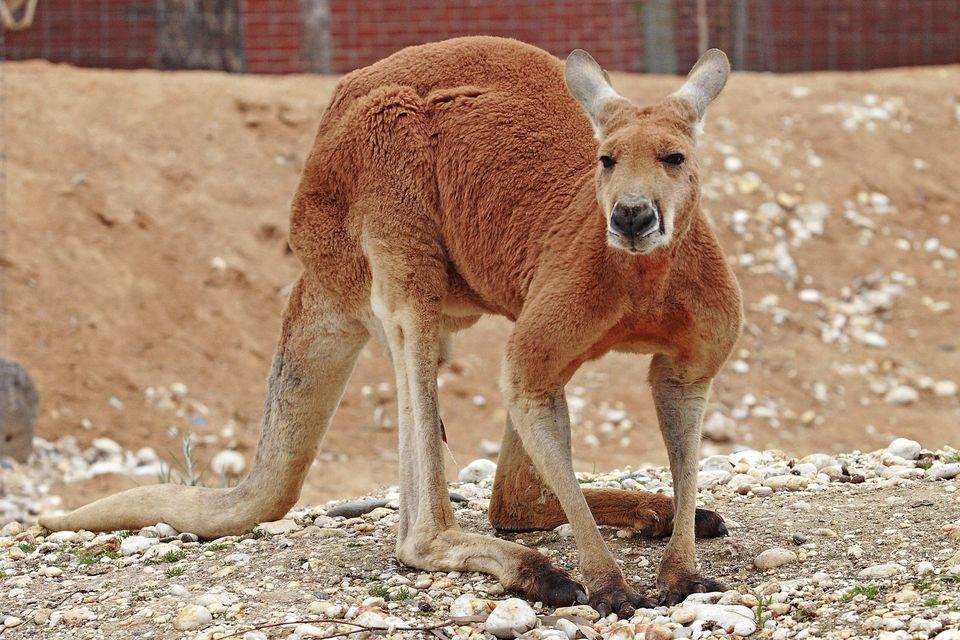
  • Wildlife heatmapsfor Wedge-tailed Eagle, Short-beaked Echidna, Red Kangaroo, and 13 more
  • Works offlinemaps, 21 trails, 43 places, and audio download before you lose signal
  • CarPlay readysimple controls built for the drive
★★★★★
“Fantastic app with many points of information… It’s great to just turn on while you’re driving and it gives you an audio tour of the national Park. We love it!!!!”
JMJamesApp Store review
Download Parkwolf on the App StoreGet Parkwolf on Google Play

4.7 from 8,600+ ratings

Guide

More about Ikara Wilpena Pound

A mountain ring around a wide basinIkara Wilpena Pound is a vast natural amphitheatre of mountains in the centre of Ikara-Flinders…

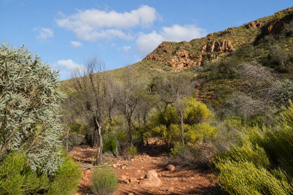
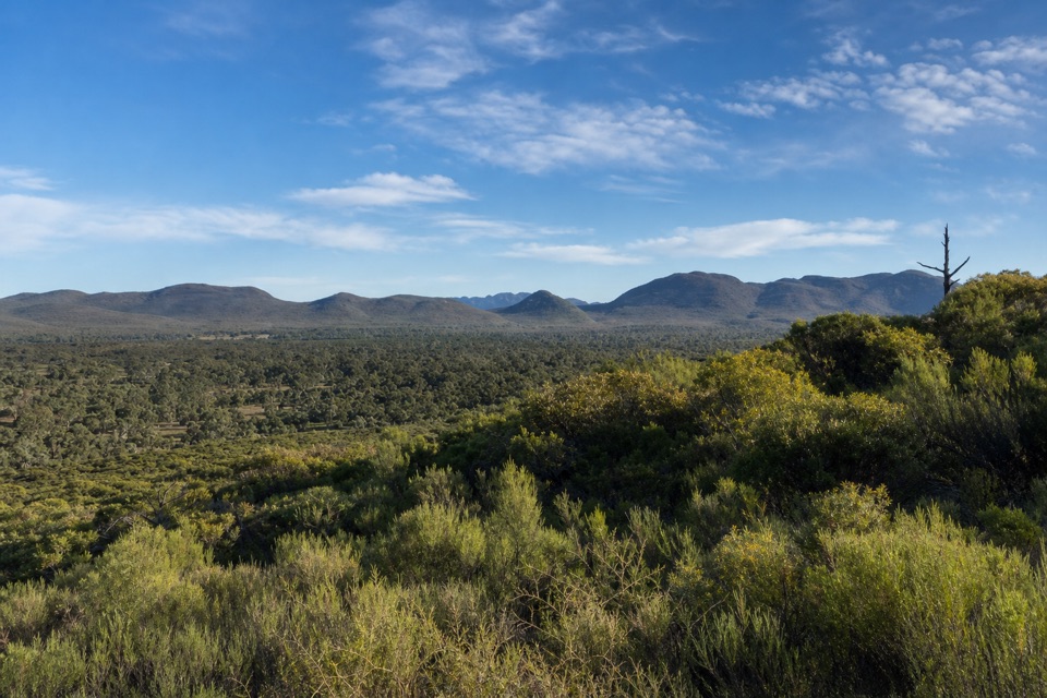
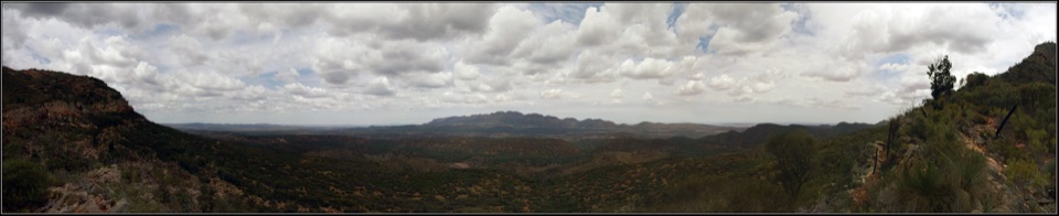
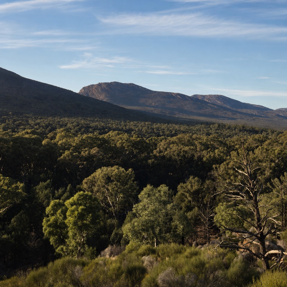
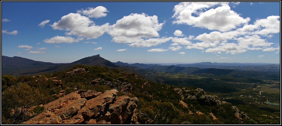
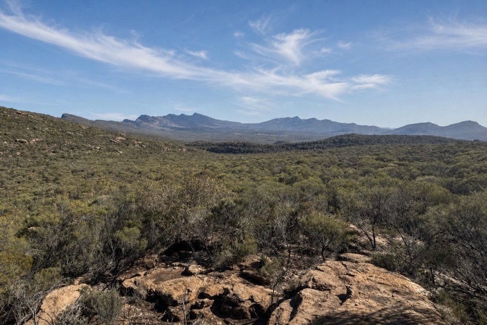
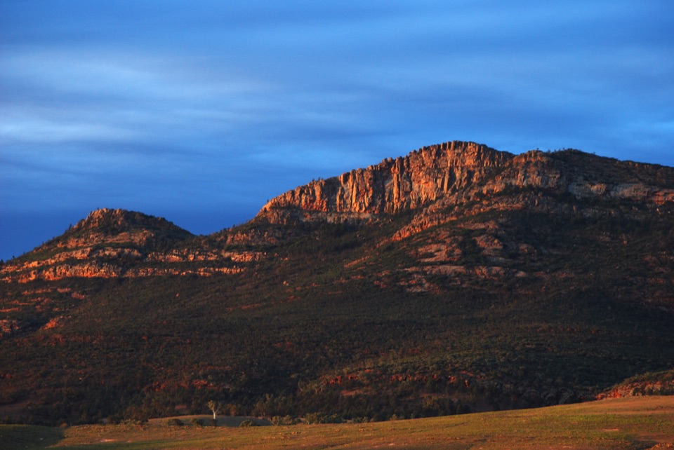
Ikara Wilpena Pound is a vast natural amphitheatre of mountains in the centre of Ikara-Flinders Ranges National Park. Its enclosed valley stretches roughly 17 kilometres by 8 kilometres, ringed by steep ridges. From above it can look like a crater, but it is not volcanic: the rocks form a huge syncline, a fold between mountain ranges that erosion has shaped into this basin. The unusual part is that you can walk inside it. Pound Gap is a natural break in the rim, and the creek route carries you through the opening onto the broad floor. Allow time to walk in, and climb to Wangara if you want to see the whole ring close around the valley.

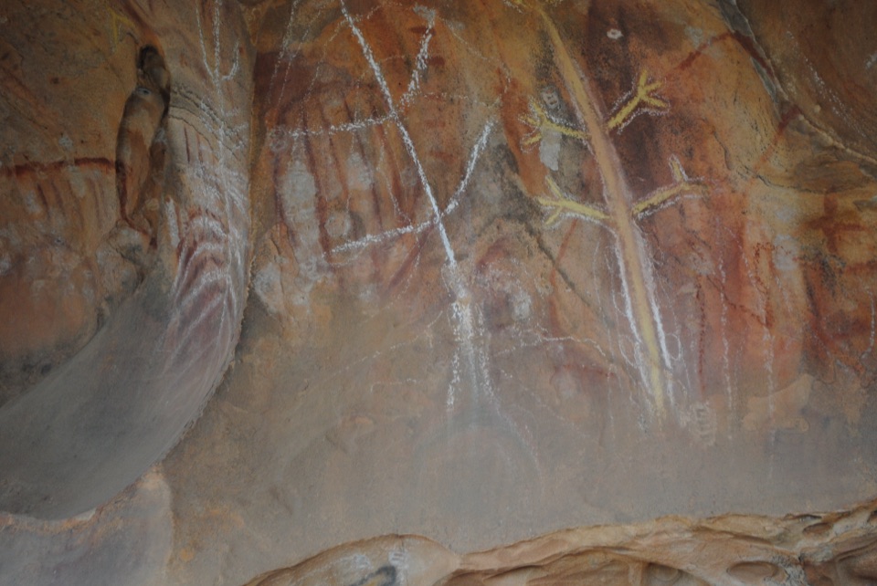
Ikara, the Adnyamathanha name for this country, is translated as “meeting place.” Adnyamathanha people are its traditional custodians, with a cultural connection to the region stretching back many thousands of years. That living connection is part of what makes this more than a geological oddity.

Walk through Pound GapThe main walk begins at the Wilpena Pound Visitor Information Centre and follows Wilpena Creek…

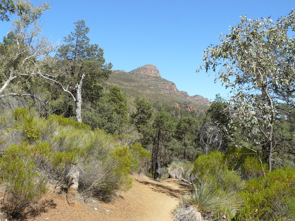
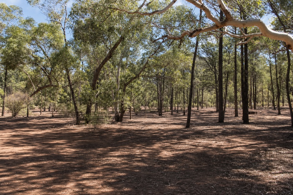
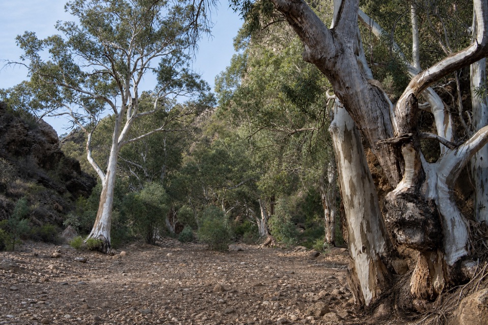
The main walk begins at the Wilpena Pound Visitor Information Centre and follows Wilpena Creek beneath tall river red gums. The creek section is mostly shaded, then the sides of the gap draw together before the path opens into the Pound. The Hills Homestead walk is about 6.6 kilometres return and roughly two hours. Between the creek and the homestead, you can take the flatter, shadier track beside Sliding Rock or the Top Track, which climbs for views of the surrounding peaks.

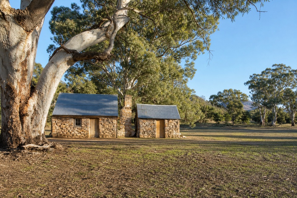
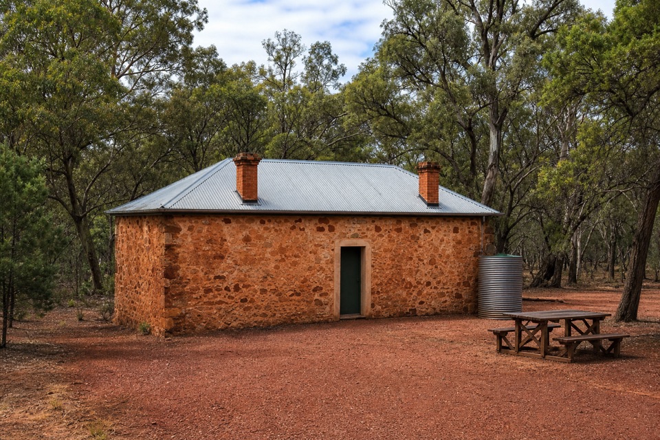
Hills Homestead is a modest stone cottage, restored with signs about the failed pastoral farming venture inside the enclosure. It makes a good pause before you head back or keep climbing. There are toilets and picnic tables at the homestead. The contrast is worth noticing: the same mountain walls that make the interior feel sheltered also made farming inside the Pound a difficult plan.

Look across the basinWangara’s two platforms face across the interior.

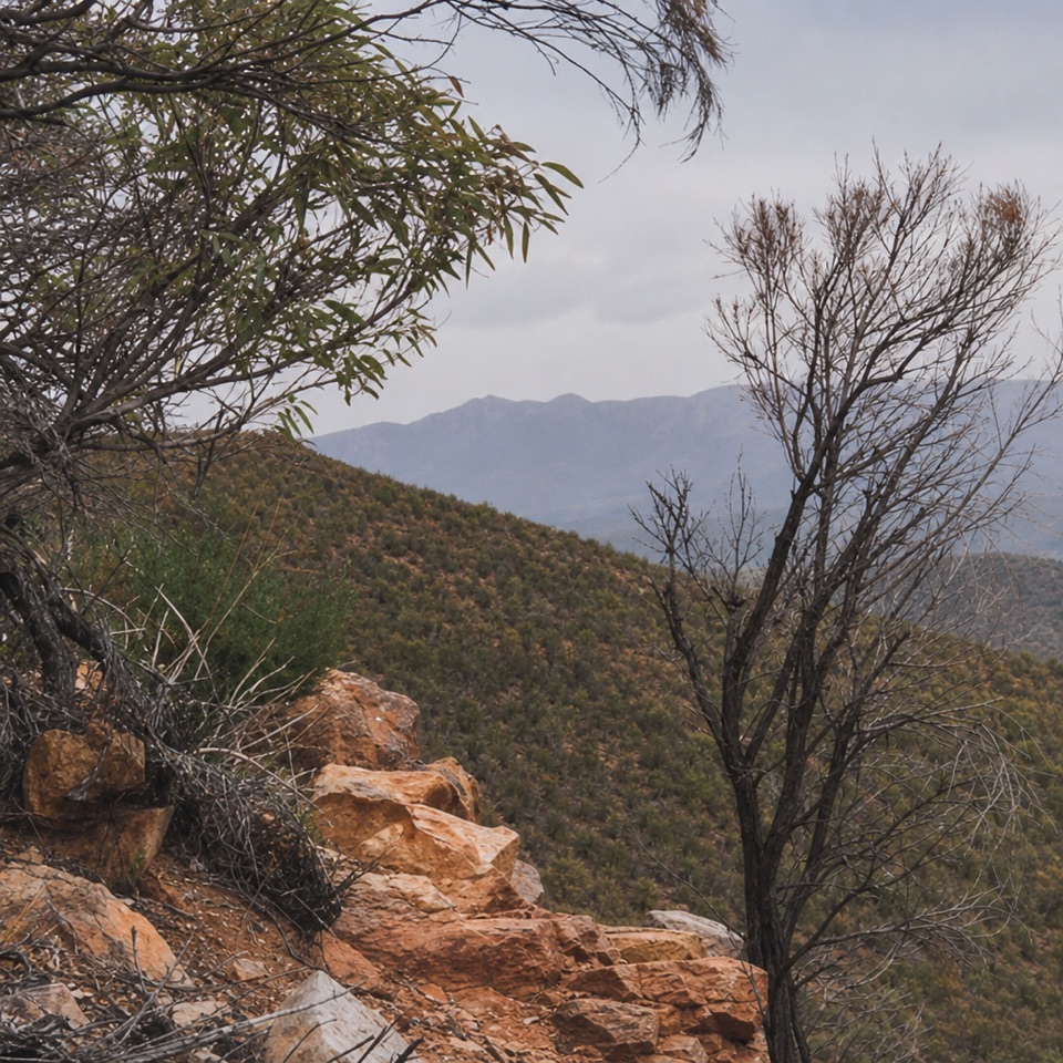
Wangara’s two platforms face across the interior. The lower one is about 300 metres of moderately hard climbing beyond the homestead; the upper platform is another 300 metres along the track and gives you extra height. The full return walk from the Visitor Information Centre to the upper lookout is about 7.8 kilometres. That is the route for understanding the Pound’s scale, not a quick stop after the creek walk. From the platforms, look for Ngarri Mudlanha, also called St Mary Peak, the highest point on the enclosing range.

For a picture that explains the place, take in the curve of the enclosing ridges from Wangara rather than filling the frame with one peak. The upper platform gives a higher view across the same basin; the lower one is a worthwhile turn-around if the climb is enough.

Make the walk workUse the Visitor Information Centre as your starting point; the map pin for the natural feature…

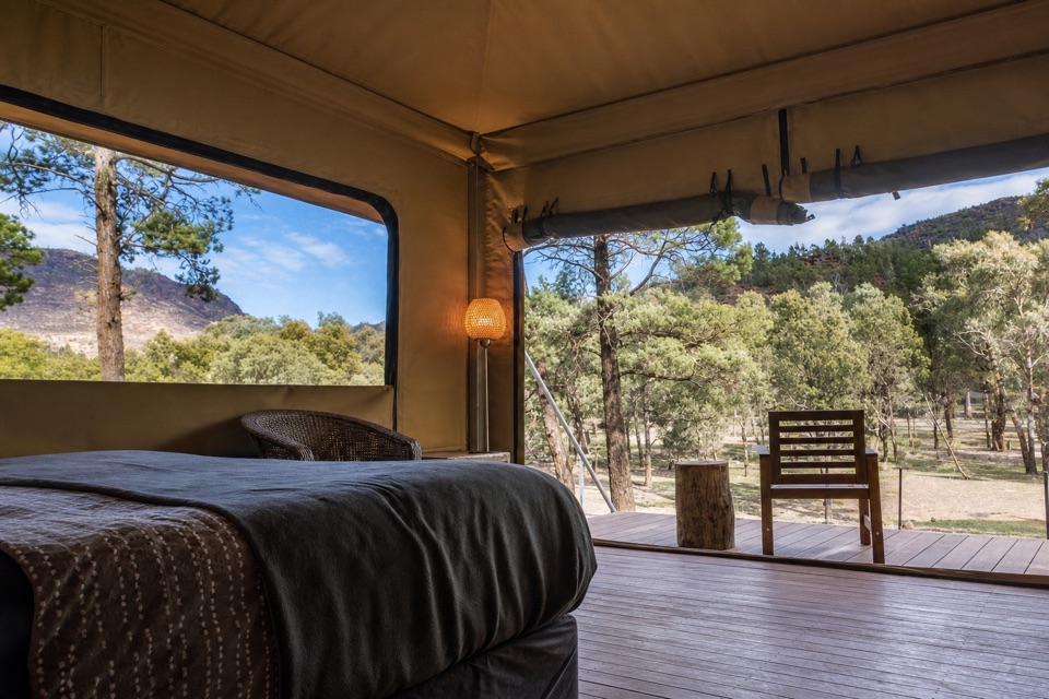
Use the Visitor Information Centre as your starting point; the map pin for the natural feature is only a representative point within a huge landform, not a trail entrance. The main road through the park and into Wilpena Pound is sealed. The creek and homestead route has some uneven ground, and Wangara adds a steep climb, so choose the version that suits your time and legs. April to October is milder for walking; summer maximum temperatures can reach 30–45°C. Walking trails close on days of catastrophic fire danger, so check current park alerts before setting out. Dogs are not permitted on the walk, apart from qualifying assistance dogs. The nearby Wilpena Pound Resort has a bar and restaurant close to the starting area, separate from the walking route.

Wildlife

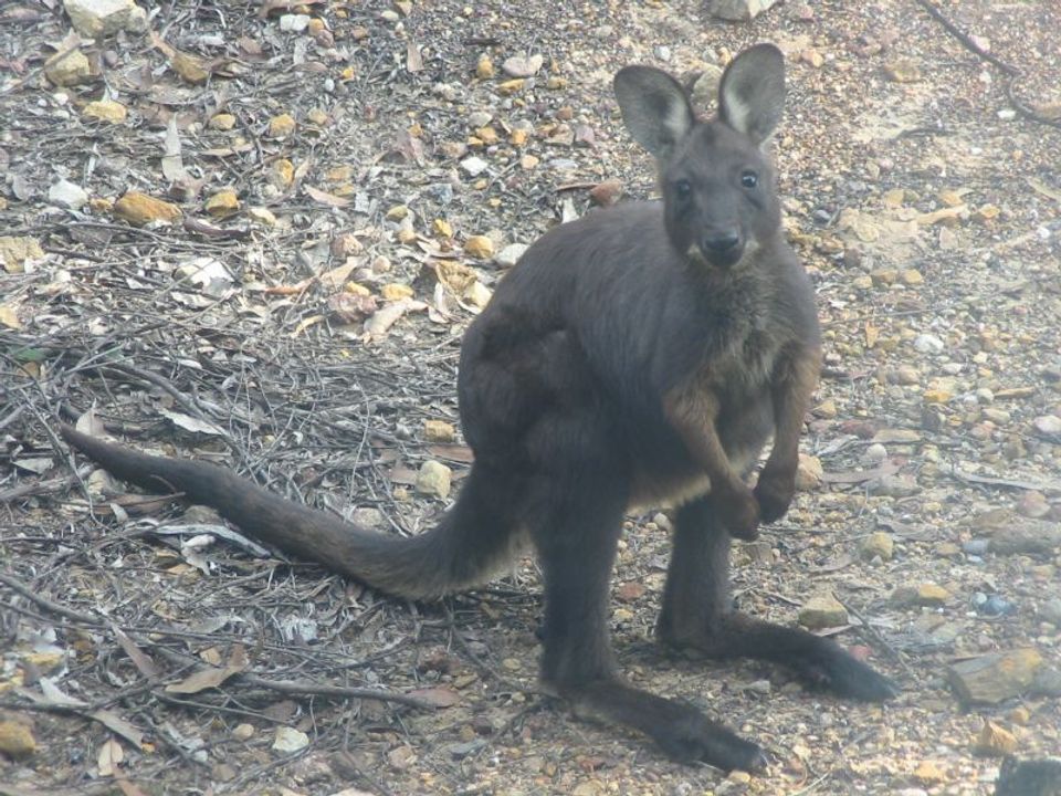
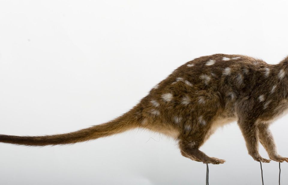
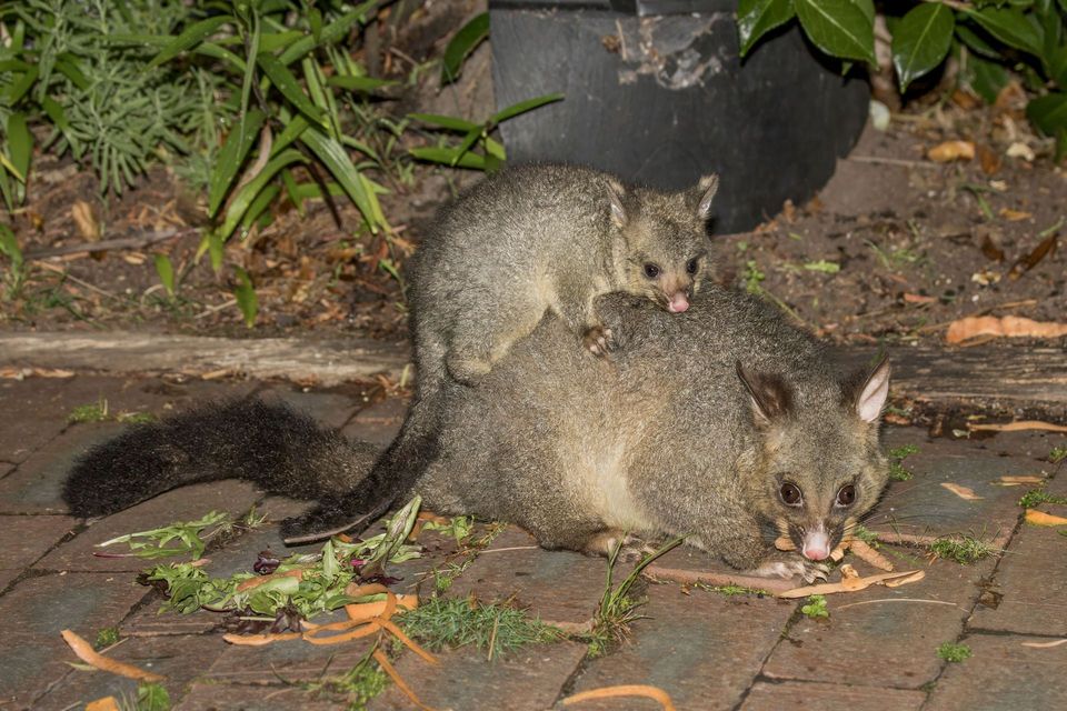
Wildlife in Ikara-Flinders Ranges

All Ikara-Flinders Ranges wildlife maps

Sighting maps show where each species has been reported across Ikara-Flinders Ranges. Wildlife moves, so no sighting is guaranteed.

Keep exploring

Near Ikara Wilpena Pound

See it all on the map

Trails nearby

More stops nearby

Parkwolf’s Ikara-Flinders Ranges ranking

Top sights in Ikara-Flinders Ranges

All 43 places
  1. 2Brachina GorgeSight
  2. 3Arkaroo Rock (Akurra Adnya)Sight
  3. 4Bunyeroo GorgeSight
  4. 5Old Wilpena Station Historic PrecinctSight
  5. 6St Mary Peak – Ngarri MudlanhaSight
  6. 7Wangara LookoutSight

Take Parkwolf to Ikara-Flinders Ranges.

The audio tour guide for the drive, plus offline maps, trails, and wildlife heatmaps for when the signal drops.

4.7 from 8,600+ ratings

Download Parkwolf on the App StoreGet Parkwolf on Google Play