
Place · 0.2 mi away
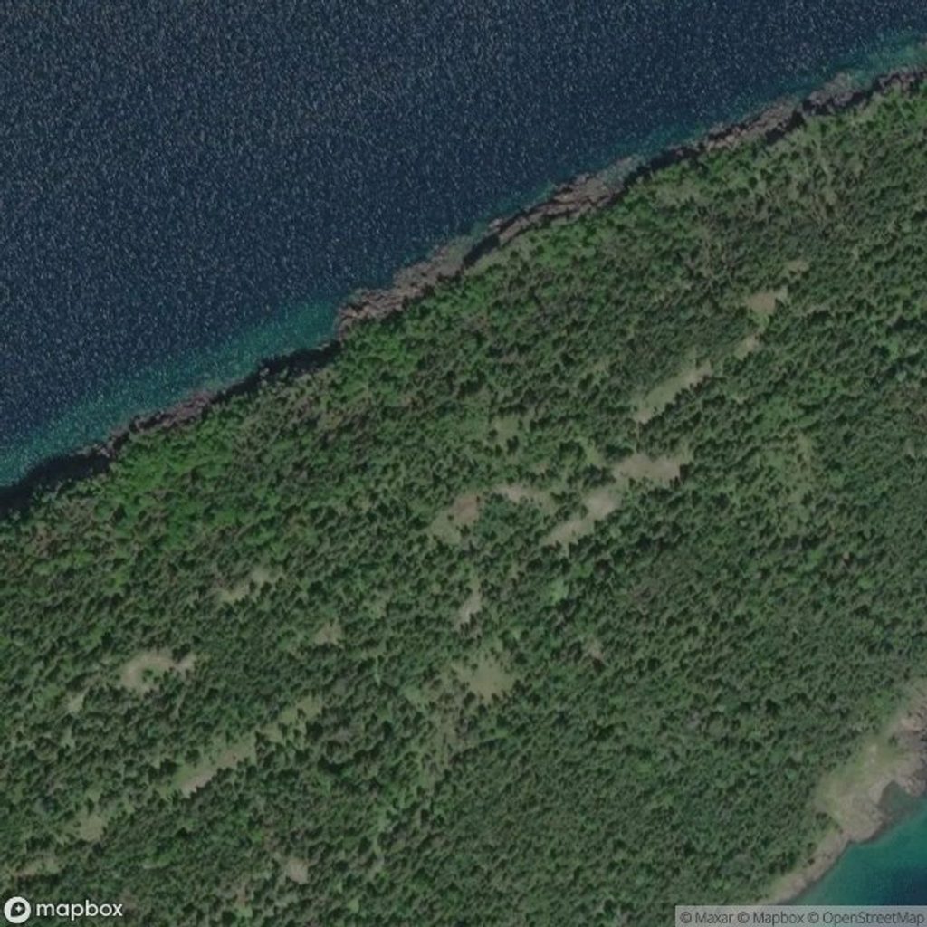
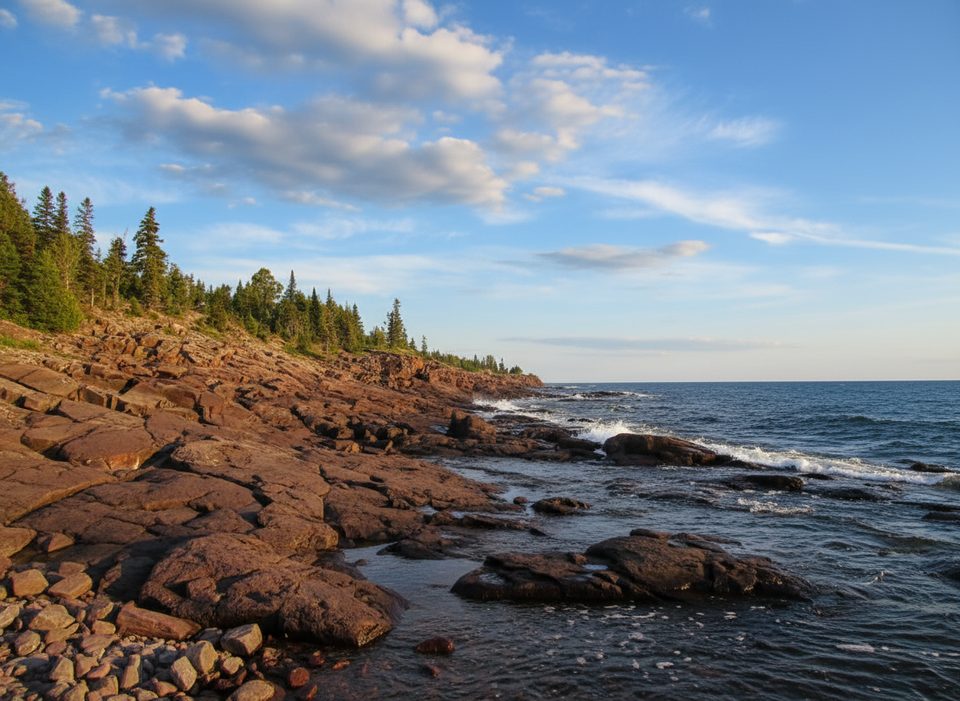
The Palisades are a dramatic run of sheer volcanic cliffs along the island’s north shore, near the Merritt Lane area. It’s one of the most striking stretches of coastline here: dark rock walls rising abruptly from Lake Superior, raw and remote. Most people take it in from the water; there’s no developed site or overlook.
These cliffs are carved from ancient basalt lava flows that built Isle Royale. The rock is tough and erosion‑resistant, forming long ridges and steep faces that meet the lake head‑on. Glaciation and tilting of the flows left the north side especially abrupt—hence the “palisade” look.
There are no roads or facilities at The Palisades, and official maps don’t show a trailhead or amenities here. Expect a wilderness experience: rugged terrain, steep drop‑offs, and conditions that can change quickly. Many visitors view the cliffs by boat or kayak; from land it’s a remote, backcountry setting with no services.
This coast’s exposure is no joke. In one of the park’s stark survival stories, shipwreck survivors from the SS Monarch fought their way onto the ice‑coated rocks at the base of these cliffs in brutal cold before making it to safety. It underscores how unforgiving this shoreline can be in the wrong season.
If you love big geology, wild coastlines, and solitude, yes—The Palisades are a standout. If you’re chasing easy viewpoints and conveniences, this isn’t that. It’s an aesthetic, elemental place best suited to seasoned paddlers and backcountry travelers.
Mid‑summer on calm, stable weather days is the sweet spot, especially mornings when winds on Lake Superior are often lighter. Avoid cold‑season visits: the rocky shore can glaze with ice, and wind chill at the lake edge can be severe.
Place · 0.2 mi away
Place · 0.3 mi away
Place · 2.1 mi away
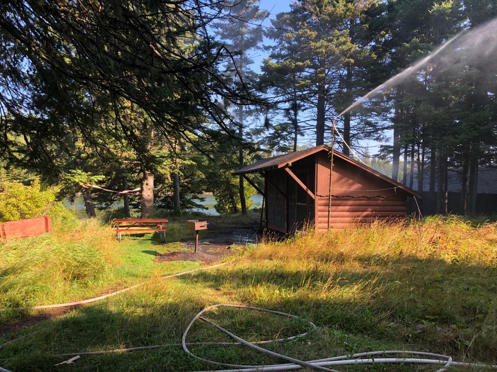
Place · 2.6 mi away
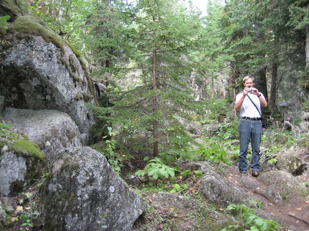
Moderate · 2.8 mi away
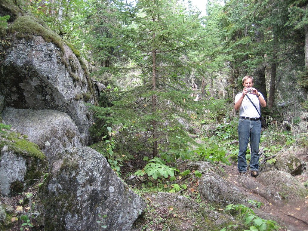
Moderate · 2.8 mi away
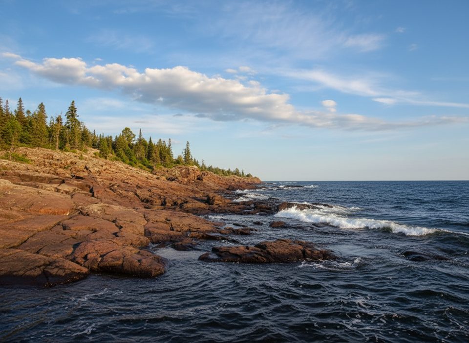
Easy · 3.8 mi away
Easy · 3.8 mi away

Parkwolf Tour Guide
