Pros & cons
PROS
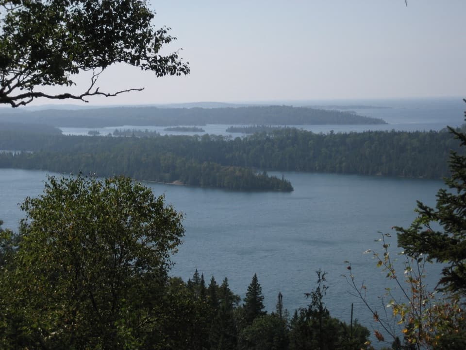
- Panoramic Lake Superior vistas from wave-polished rocky bluffs
- Rewarding ~4.2-mile loop via the Stoll Memorial Trail from Rock Harbor
- Possible sightings of moose and bald eagles
CONS
- No amenities on-site
- Exposed and often windy with little shade
- Rocks can be slick after rain
Overview
Scoville Point caps a rugged peninsula east of Rock Harbor, where wind and surf have stripped the tip nearly bare for sweeping, unobstructed views of Lake Superior. It’s the classic day hike from Rock Harbor and a great snapshot of Isle Royale’s mix of forest, shoreline, and stark rock.
The Hike
Reach the point via the Stoll Memorial Trail, a loop of about 4.2 miles that blends forested tread, elevated boardwalks, and exposed shoreline sections. The grade is easy to moderate, but you’ll want decent footing—especially near the point where rock can be uneven and slick after rain. Multiple loops let you shorten or extend the outing.
What You’ll See
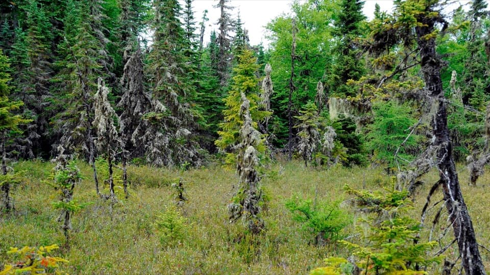
Expect open bluffs, juniper, and a few scraggly pines clinging to craggy shoreline. Out at the tip, it’s all lake and sky—an uninterrupted horizon with the steady push of Superior’s surf. On calm days you can watch small boats and kayaks moving toward Rock Harbor.
Wildlife
Moose are sometimes spotted along the trail, and bald eagles nest in the area—keep an eye out for soaring adults or perched birds scanning the water. Songbirds and other small wildlife round out the scene, and the rocks themselves host a colorful array of lichens.
Geology & History
The point showcases glacially polished, wave-battered basalt and an impressive lichen mosaic that paints the rock in subtle greens, oranges, and grays. Scoville Point takes its name from an 1840s copper prospector, a nod to the island’s mining chapter. The route honors conservationist Albert Stoll.
Trail Experience & Hazards
Despite being a popular goal from Rock Harbor, the walk rarely feels crowded thanks to Isle Royale’s remoteness. Do watch your footing on wet rock, supervise kids near cliffy edges, and be ready for wind and intense sun at the tip—there’s little shelter.
Best Time to Visit
Aim for calm, dry days to enjoy the exposed shoreline comfortably. Early morning or late afternoon brings gentler light and even more solitude. After rain, expect slick rock. During buggy months, plan accordingly.
Practical Tips
Bring plenty of water and snacks—there are no services on the trail or at the point. Wear sturdy shoes with good grip, pack a wind layer and sun protection, and toss in binoculars for eagle watching. Use restrooms and services in Rock Harbor before you start.
Where it is
48.1621, -88.4540Tips for Scoville Point
- 01Use Rock Harbor facilities before hiking; there are none at the point.
- 02Wear grippy footwear—the exposed rock can be slick after rain.
- 03Pack a wind layer and sun protection; the tip is fully exposed.
- 04Bring binoculars to scan for bald eagles and distant boats.
- 05Start early or late for softer light and extra solitude.
Amenities
Near Scoville Point
All places →All trails →
0.9 mi awayLookout Louise TrailShort, boat-in climb to one of the island’s grandest panoramas.Moderate · 1.9 mi · 1.5 hr
0.9 mi awayHidden Lake TrailShort, view-packed climb from Hidden Lake dock to Lookout LouiseModerate · 2 mi · 2.5 hr
1.2 mi awayDuncan Narrows CampgroundTiny, boat-in backcountry camp with shelters at scenic Duncan Bay narrowsCampground · Restroom
1.3 mi awayLookout LouiseShort hike, huge views over Duncan Bay and distant CanadaScenic Viewpoint
1.7 mi awayRaspberry Island BoardwalkCompact forest, bog, and shoreline loop on narrow boardwalksEasy · 1 mi · 1.5 hr
1.7 mi awayRaspberry Island TrailShort loop through forest, bog, and Superior’s rocky shore near Rock HarborEasy · 1 mi · 1 hr
1.7 mi awayRaspberry IslandTiny boat-hop island with a bog, boardwalk, and rocky shoresTrailhead · Scenic Viewpoint
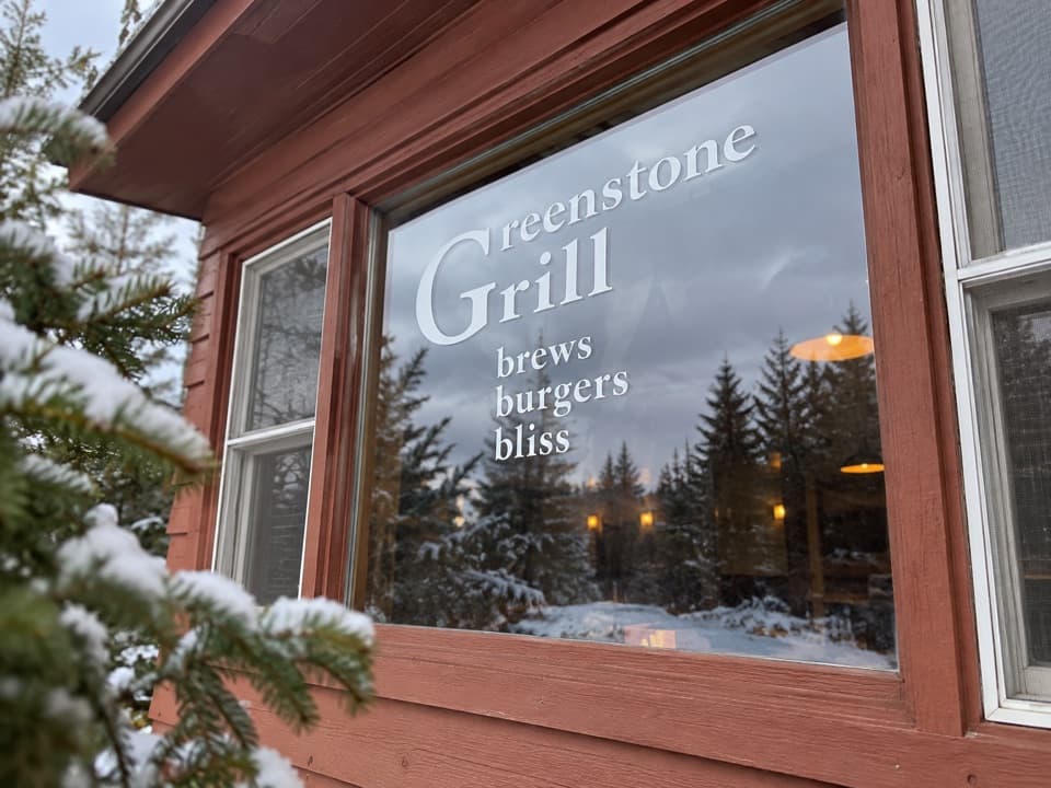
1.8 mi awayGreenstone GrillCasual harbor-side grill with pizza, pub fare, and regional beerFood · Restaurant