Parking
No road access or car parking at Hidden Lake Dock. Reach it by canoe or kayak, private boat, seasonal water taxi, or MV Sandy when operating; confirm current service and return arrangements.

#5 of 39 trails in Isle Royale
Isle Royale National Park, MI
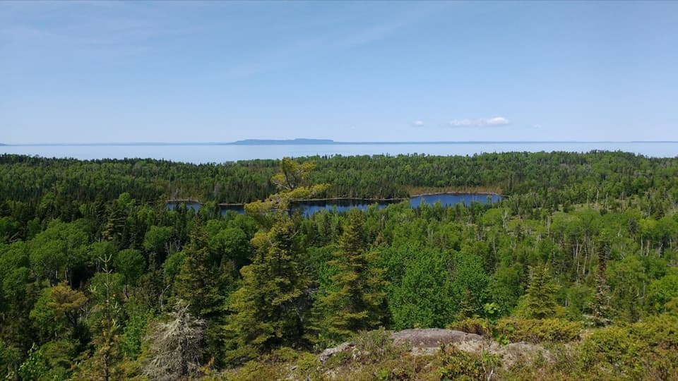
A rocky climb past Monument Rock opens over Duncan Bay.
Overview
Map & elevation
Plan your hike

The highest, rockiest slopes around here are a summer buffet for grizzly bears.
Isle Royale Tour Guide
Parkwolf is a GPS audio tour guide for Isle Royale National Park. As you drive, it chimes in with what’s ahead: hidden gems, upcoming stops, history, geology, and wildlife, right through your car’s speakers.
Recorded for this area
The Lava Beneath the Ridges“Isle Royale's long ridges began as layers of lava. About one point one billion years ago, North America started pulling apart, and molten rock poured out through the cracks.”
Plays on the road 0.9 mi from the trailhead in the Parkwolf Isle Royale Tour Guide.
More stories near here in the app
“Fantastic app with many points of information… It’s great to just turn on while you’re driving and it gives you an audio tour of the national Park. We love it!!!!”


Trail guide
Lookout Louise is a 2-mile out-and-back from Hidden Lake Dock, following the lake and Monument Rock before a steep final climb to the overlook. Allow about 1 to 1½ hours on foot, separate from the boat or paddle to the dock. The mapped corridor is just under a mile each way; return by the same route. The broad view over Duncan Bay is a good reward for a short but uneven walk.
The start follows the edge of Hidden Lake and a short boardwalk link. Beyond it, expect a narrow tread, about 18 inches wide, with exposed rocks and roots. The path climbs more sharply near the overlook. Hikers often find poles useful on that upper stretch. Junctions near the viewpoint can be easy to miss, and this quieter section of the Greenstone can be harder to follow as conditions change; check your map before leaving the dock and watch for the return turn.
Hidden Lake is a small pond with a mineral spring that often attracts moose, though sightings are never assured. Farther along, Monument Rock is an inland sea stack shaped by waves thousands of years ago. These landmarks break up the climb and make the walk more varied than a straight approach to a viewpoint.
Lookout Louise sits above Duncan Bay, with Lake Superior and the Canadian mainland beyond. On clear days you may make out Pie Island, Sibley Peninsula, and Edward Island. For a photo, frame the water and long wooded islands through the trees at the overlook; distant landforms depend on visibility.
Hidden Lake Dock is reached by water, not by road. Canoe or kayak, a private boat, seasonal water taxi, or the MV Sandy excursion can provide access when operating; confirm the current schedule and your return plan before setting out. Walking back to Rock Harbor over land is a much longer route, about 9.4 miles via Greenstone Ridge, Mount Franklin, and Tobin Harbor. There is no drive-up parking at this trailhead.
The overlook is named for Louise Savage of Saint Paul, whose family owned an island near Tobin Harbor before Isle Royale became a national park. Pets are not allowed on Isle Royale; service dogs require an advance permit.
Wildlife
 308 sightingsMooseMost seen around 8 PMSighting map
 93 sightingsWolfMost seen around 8 PMSighting map
 77 sightingsBald EagleMost seen around 5 PMSighting map
 150 sightingsLoonMost seen around 7 AMSighting map
 24 sightingsTrumpeter SwanMost seen around 6 PMSighting map
 71 sightingsBeaverMost seen around 8 PMSighting map
Sighting maps show where each species has been reported across Isle Royale. Wildlife moves, so no sighting is guaranteed.
Keep exploring
 ModerateScoville Point Loop4.2 mi · 3 hr · 1 mi awayA rough lakeshore and wooded harbor side meet at Scoville Point.
 ModerateSuzy’s Cave Loop3.8 mi · 3.5 hr · 1 mi awayA rocky shoreline loop to Isle Royale’s inland sea arch.
 ModerateRock Harbor Trail11 mi · 7 hr · 1 mi awayAn 11-mile rocky shoreline hike from Rock Harbor to Moskey Basin.
 ModerateStoll Memorial Trail (Short Loop)1.8 mi · 1.5 hr · 1 mi awayA wooded and rocky interpretive loop near Rock Harbor.
 EasyTobin Harbor Trail3 mi · 3 hr · 1 mi awayHarbor islands and an inland sea arch off an easy woodland walk
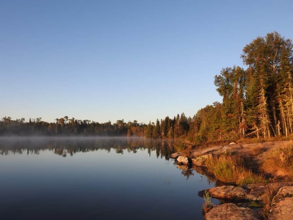 ChallengingHarbor to Hills Loop33.2 mi · 1.3 days · 1.1 mi awayA 33-mile island loop climbs from Lake Superior shore to Greenstone Ridge.
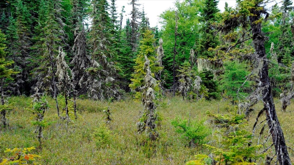 EasyRaspberry Island Trail0.9 mi · 45 min · 1.2 mi awayBoardwalks lead into a tiny bog before the rocky shore.
 ModerateTobin–Duncan Portage Trail1.6 mi · 1.5 hr · 1.3 mi awayA steep, boat-accessed crossing over Greenstone Ridge.
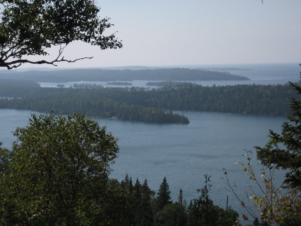 Sight · 0.6 mi awayLookout LouiseA broad Lake Superior view, if you're up for the rocky mile.
 Campground · 0.8 mi awayDuncan Narrows CampgroundA boat-in campground with one tent site and two shelters.
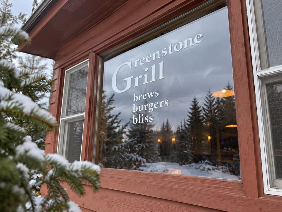 Restaurant · 1.1 mi awayGreenstone GrillA hot meal and harbor-view deck after a day on the island.
 Restaurant · 1.1 mi awayLighthouse RestaurantA sit-down meal at Rock Harbor, far from the mainland.
 Lodging · 1.1 mi awayRock Harbor LodgeStay beside Lake Superior at the island's only full-service lodge.
 Sight · 1.1 mi awayRock Harbor MarinaFuel, rentals and dock services in a remote island harbor.
 Visitor center · 1.1 mi awayRock Harbor Visitor CenterA smart first stop for ranger answers and island trip planning.
 Sight · 1.1 mi awayScoville PointA rocky cape with Lake Superior opening beyond the islands.
Parkwolf’s Isle Royale ranking

The audio tour guide for the drive, plus offline maps, trails, and wildlife heatmaps for when the signal drops.