
Place · 0 mi away
Challenging
The Malone Bay Trail is the rugged backcountry descent from the Greenstone Ridge down to Lake Superior at Malone Bay, most commonly hiked via the Ishpeming Trail. It’s remote, quiet, and a classic Isle Royale ridge-to-shore traverse that rewards you with big-water scenery—then makes you pay it back with a stout climb to return to the ridge.
Plan for a long day: the segment from Hatchet Lake on the Greenstone Ridge to Malone Bay via the Ishpeming Trail is approximately 13.1 miles one way. This is not a loop. Backpackers typically stage at ridge camps (e.g., Hatchet Lake) and drop to the bay, or boat/paddle into Malone Bay and day-hike inland. Expect the reverse trip to feel significantly harder due to sustained elevation back to the ridge.
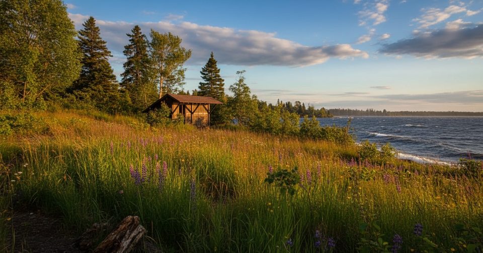
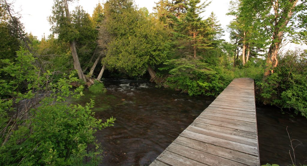
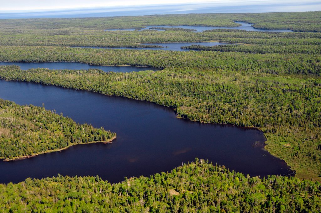
You’ll climb to or from Ishpeming Point on open ridge before threading through dense northern forest, beaver ponds, and rocky, occasionally overgrown singletrack. As you near the south shore, the trail delivers sweeping views of Lake Superior and the windswept shoreline at Malone Bay. Keep an eye out for wildlife—moose, foxes, loons, and even wolves are possible sightings. Underfoot, it’s classic Isle Royale: dirt, roots, rock, intermittent muddy patches, and the occasional boardwalk over wet sections. Geologically, you’re traversing ancient basalt ridges and descending to a glacially carved, wave-battered coast.
Make no mistake—this is a strenuous, committing route, especially on the way back up. Signage can be sparse, some segments see light use and may be faint or brushy, and summer bugs (mosquitoes and black flies) can be fierce after rains. Plan water thoughtfully; reliable sources can be spread out between lakes. If you’re newer to Isle Royale or prefer friendlier miles, consider other routes before tackling this one.
Malone Bay Campground sits right on the shore and caters more to boaters and paddlers than to backpackers. It has 5 shelters and 2 group sites—and notably no individual tent sites—so plan accordingly. A ranger station is nearby but may not be staffed. Expect a quiet vibe compared to busier campgrounds, with shelter availability influenced by arrivals from the water. Overnight trips anywhere on the island require a backcountry permit and itinerary registration.
The main hiking season is summer (roughly June–September). Early summer brings heavy mosquitoes and black flies; late summer into early fall is generally less buggy and more pleasant for big days. Shoulder seasons can be cooler and quieter but also wetter with shorter daylight—tough conditions for a long, remote out-and-back like this.
No road access. Reach it on foot from the Greenstone Ridge (commonly staging at Hatchet Lake) or arrive by boat/paddle to the Malone Bay dock.
Long, remote descent/ascent with sparse signage, brushy and rocky stretches, heavy bugs after rain, limited water between lakes, and no individual tent sites at the bay. Ranger station may be unstaffed; shelters are first-come and popular with boaters.
Place · 0 mi away
Place · 0.6 mi away
Place · 1.1 mi away
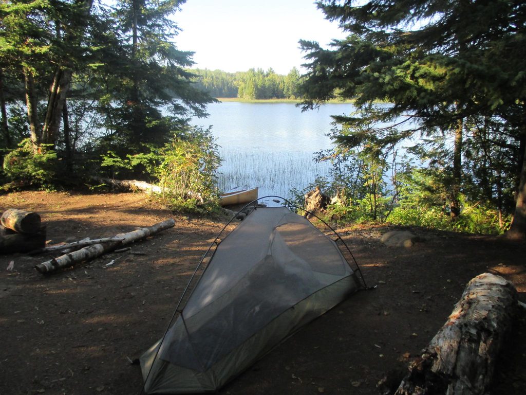
Place · 3.1 mi away
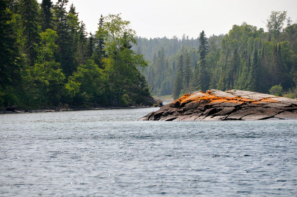
Moderate · 7.2 mi away
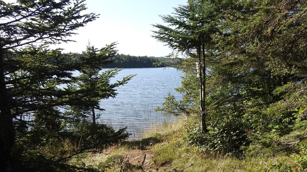
Moderate · 8.4 mi away
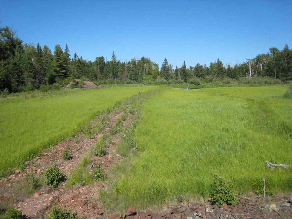
Easy · 8.4 mi away
Moderate · 8.4 mi away

Parkwolf Tour Guide
