
Place · 0 mi away
Easy
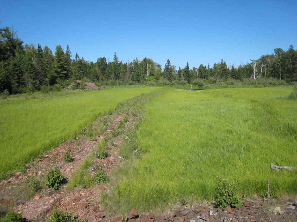
This is a short, easy spur to the historic Minong Mine—distinct from the rugged Minong Ridge Trail it branches off of. The Minong Mine Trail itself is roughly 0.25 miles one way (0.5 miles total). Reaching the signed junction from McCargoe Cove Campground requires walking about 0.87–1.2 miles along the Minong Ridge Trail first, then taking the spur south to the site. If you’re starting at the cove, plan on roughly 2.2–2.9 miles round trip to visit the mine and return.
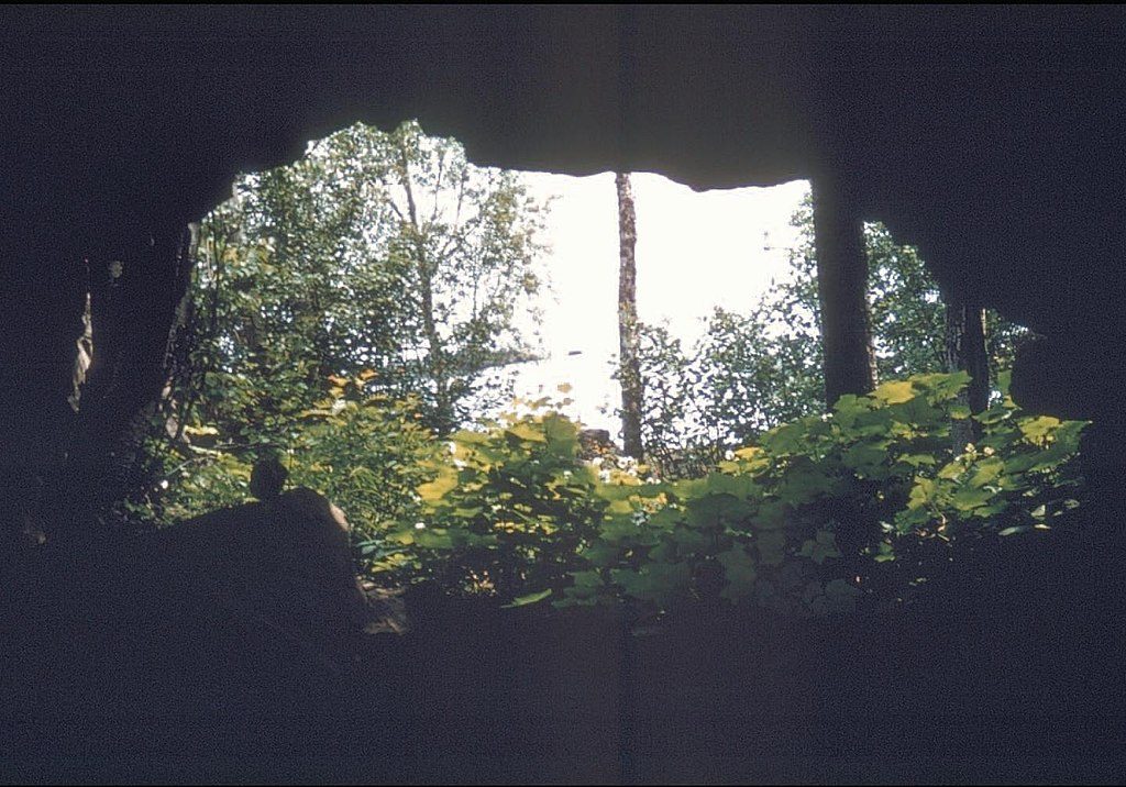
You’re heading to the best-preserved mining site on Isle Royale. Expect evocative artifacts: short‑gauge rails, old wheels, log cabin remnants, barrel straps, and scattered mining debris slowly returning to the forest. There’s an interpretive plaque at the site that explains what you’re looking at, and a steep side path dips into a mine shaft for a brief, cave‑like feel—interesting, but treat it with respect and caution.
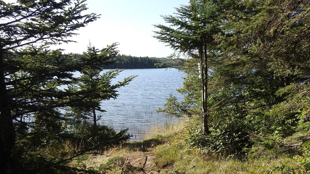
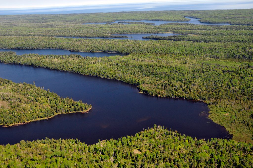
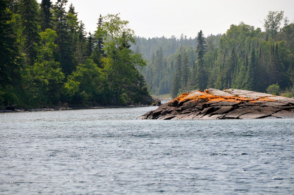
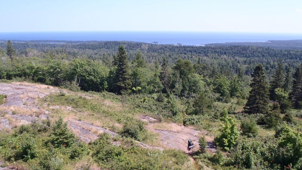
The walk is classic boreal forest—quiet, shaded, with occasional rocky outcrops and the feel of deep northern wilderness. Around McCargoe Cove, calm mornings can bring mirror‑still water and “small moments” wildlife like turtles; moose are possible but never guaranteed.
Underfoot it’s a maintained but primitive path: dirt and rock with roots, short ups/downs, and modest elevation change—easy by Isle Royale standards. The spur is well‑marked; look for the newer post and plaque at the junction along the Minong Ridge Trail.
Late spring through early fall is the sweet spot. After rains, expect slick rock and mud. Winter access isn’t practical here due to seasonal closure and snow cover. For a quieter site and the best light for photos of relics, go early or late in the day when the forest is soft‑lit and the cove is calm.
Yes—especially if you’re into history or geology. It’s a short, low‑effort detour with high interpretive payoff. If you’re chasing big lake vistas, this one’s more about stories in the woods than sweeping scenery. Craving ridgeline drama and a serious challenge? That’s what the Minong Ridge Trail is for; this spur is the bite‑size, history‑forward sampler.
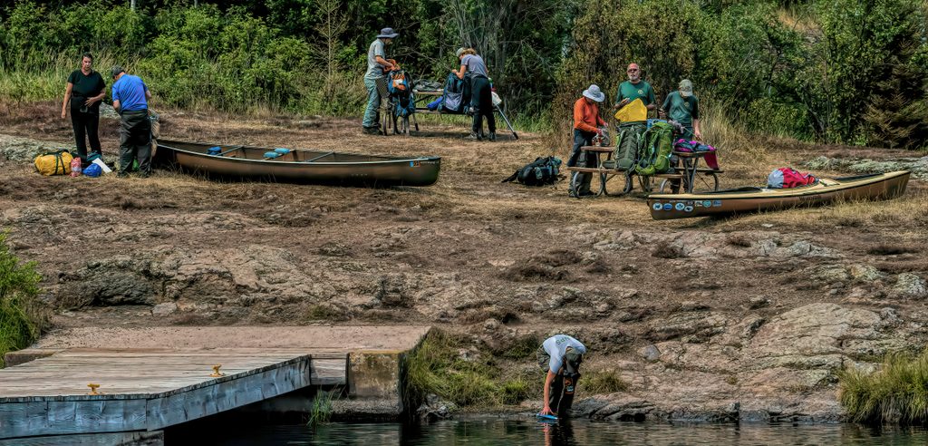
Start from McCargoe Cove dock/campground; follow the Minong Ridge Trail 0.87–1.2 miles to the signed spur—there is no traditional trailhead parking.
Watch for loose rocks, uneven footing, and old mining debris; use extreme care near shaft openings, which can be steep and hazardous—surfaces get slick when wet.
Place · 0 mi away
Place · 0.8 mi away

Place · 1 mi away

Place · 1.2 mi away
Moderate · 0 mi away
Moderate · 0 mi away
Moderate · 4.9 mi away
Moderate · 5.2 mi away

Parkwolf Tour Guide
