Parking
No vehicle access at the trailhead. Reach the north Indian Portage junction on foot from McCargoe Cove; the route ends at Greenstone Ridge.

Isle Royale National Park, MI
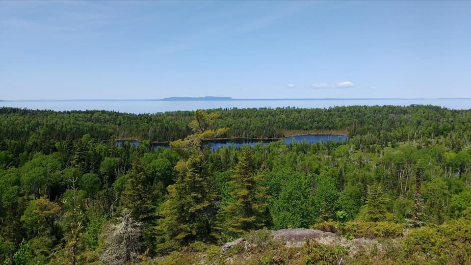
A forested connector with glimpses of Chickenbone Lake.
Overview
Map & elevation
Plan your hike

The highest, rockiest slopes around here are a summer buffet for grizzly bears.
Isle Royale Tour Guide
Parkwolf is a GPS audio tour guide for Isle Royale National Park. As you drive, it chimes in with what’s ahead: hidden gems, upcoming stops, history, geology, and wildlife, right through your car’s speakers.
“Fantastic app with many points of information… It’s great to just turn on while you’re driving and it gives you an audio tour of the national Park. We love it!!!!”


Trail guide
East Chickenbone Trail is a 1.6-mile point-to-point path from the north Indian Portage junction to Greenstone Ridge, curving around Chickenbone Lake’s east end. It follows wooded ridges with the lake beside it for part of the way, rather than staying on the shoreline. Allow about one to one and a half hours one way. It is a handy link for hikers already crossing the island; it is not a return walk.
An older trail guide describes a crossing of Chickenbone Creek and two beaver ponds on the east side. Their exact positions on today’s mapped line are unconfirmed, so treat them as possible features to notice rather than promised stops. When the path reaches the marshy lake edge, frame through the ferns toward the wooded far shore.
The route starts on Indian Portage Trail and finishes on Greenstone Ridge. The 1.6 miles covers only this connector; access from McCargoe Cove and a return trip add distance. A full McCargoe Cove circuit uses sections of other trails and is a different itinerary; its published figures range from about 6.5 to 7 miles. East Chickenbone Campground is an inland spur with four sites, food lockers, non-potable water and no store. Pets are prohibited on the island except service dogs with an advance permit.
Wildlife
 308 sightingsMooseMost seen around 8 PMSighting map
 93 sightingsWolfMost seen around 8 PMSighting map
 77 sightingsBald EagleMost seen around 5 PMSighting map
 150 sightingsLoonMost seen around 7 AMSighting map
 24 sightingsTrumpeter SwanMost seen around 6 PMSighting map
 71 sightingsBeaverMost seen around 8 PMSighting map
Sighting maps show where each species has been reported across Isle Royale. Wildlife moves, so no sighting is guaranteed.
Keep exploring
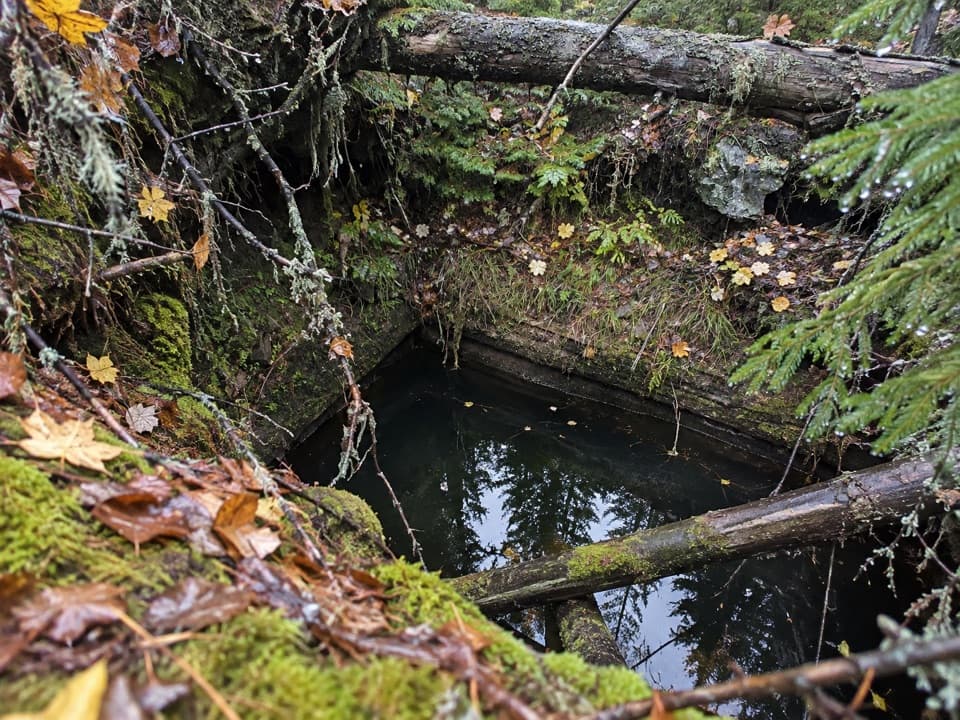 ModerateMinong Mine Trail2.2 mi · 2 hr · 0.4 mi awayA rugged detour into Isle Royale’s ancient copper workings
 ModerateChickenbone Lake Loop6.4 mi · 3 hr · 0.4 mi awayA forested lake loop with a short, repeated McCargoe Cove approach.
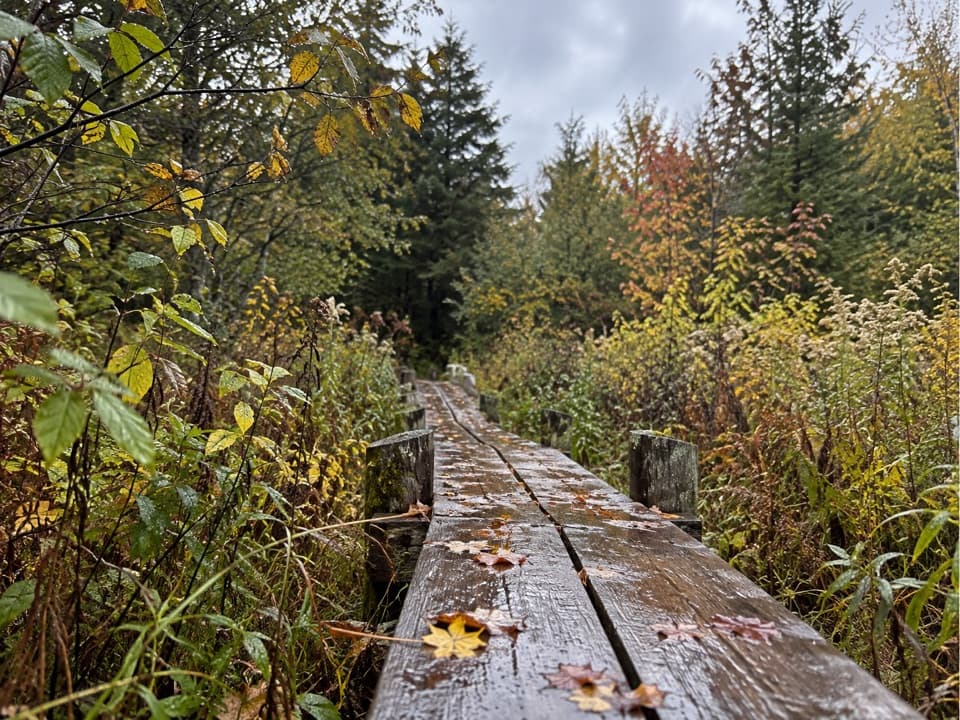 ModerateLake Richie Trail1.9 mi · 1.3 hr · 2.5 mi awayA narrow backcountry connector through wetlands and rocky outcrops.
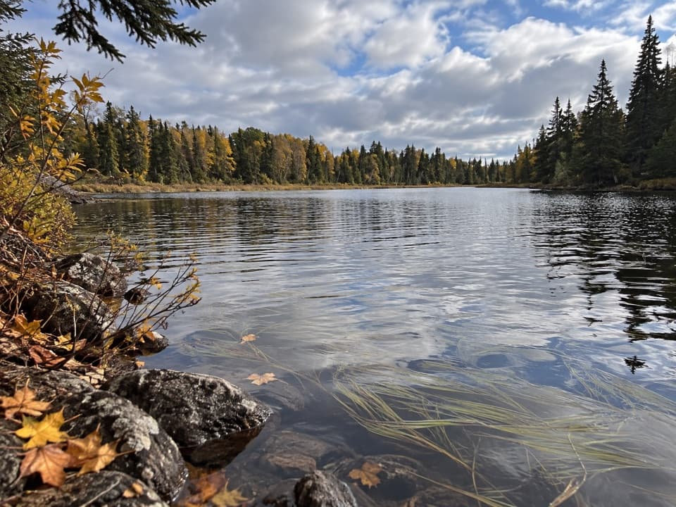 EasyLake Mason Access Trail0.6 mi · 24 min · 4.5 mi awayA short side trip to the bluff above Lake Mason.
 ModerateIndian Portage Trail10.6 mi · 8 hr · 4.7 mi awayA rugged 11-mile crossing through Isle Royale’s inland lakes.
 ModerateDaisy Farm Triangle5.1 mi · 3.5 hr · 5.3 mi awayBoardwalks, ridge climbs, and a historic tower above the island.
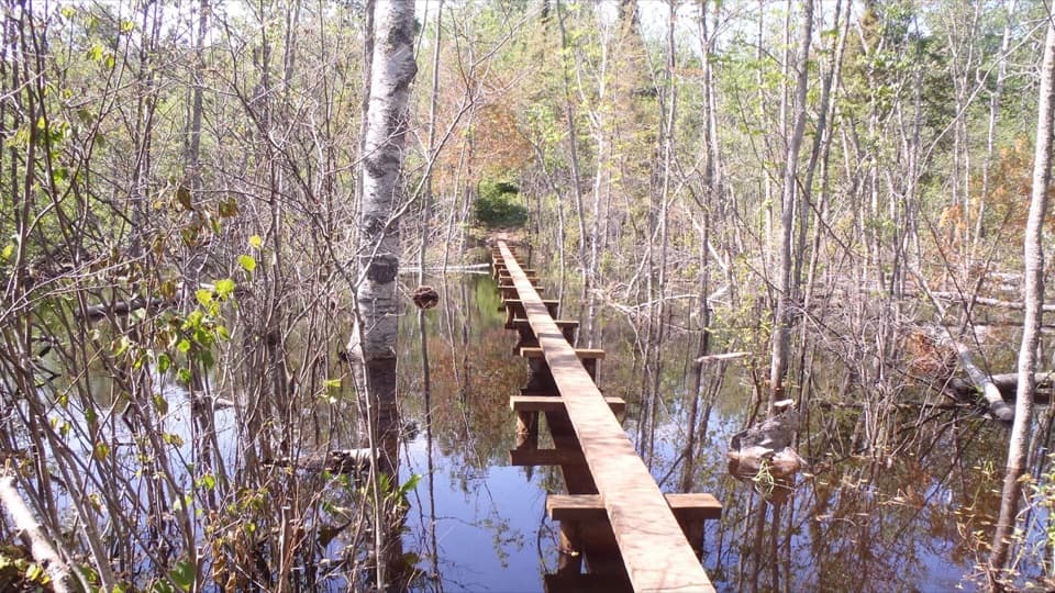 ModerateDaisy Farm Trail1.7 mi · 1.3 hr · 5.3 mi awayBoardwalks cross beaver wetlands on the climb to the ridge.
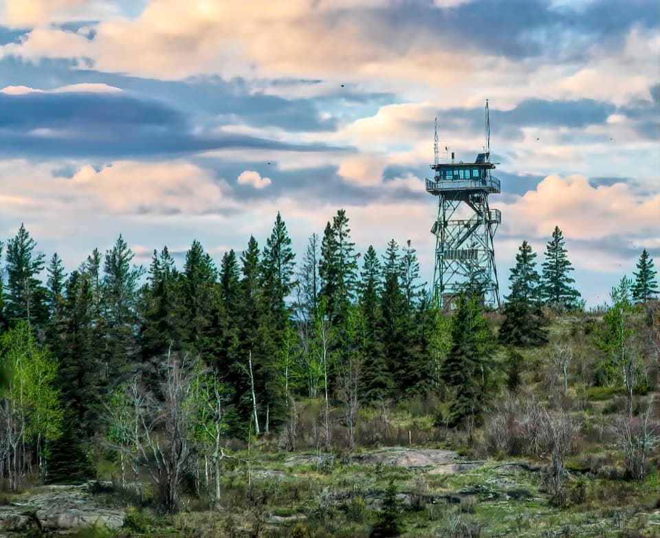 ModerateMount Ojibway Trail3.4 mi · 2.5 hr · 5.5 mi awayA steep island climb to a historic tower and ridge views.
 Campground · 0.4 mi awayMcCargoe Cove CampgroundA remote cove camp with boat access and six shelters.
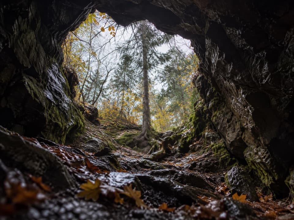 Sight · 0.6 mi awayMinong MineCopper mining here spans 4,500 years on a remote trail spur.
 Campground · 1.1 mi awayEast Chickenbone CampgroundFour forest sites for an inland night, not a lakeside stay.
 Campground · 1.4 mi awayWest Chickenbone CampgroundA backcountry lake camp reached on foot or by portage.
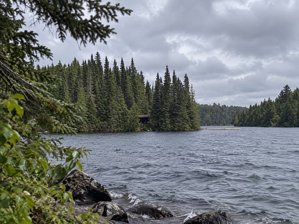 Campground · 2.3 mi awayBirch Island CampgroundA tiny boat-in camp near McCargoe Cove's mouth.
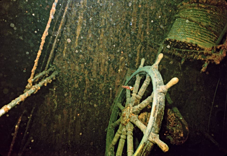 Sight · 2.4 mi awaySS Kamloops WreckA freighter lost in a 1927 storm, found half a century later.
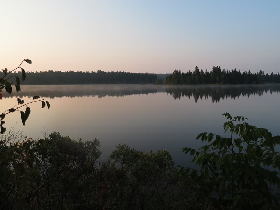 Campground · 2.5 mi awayLake Richie CampgroundA lakeside overnight on the interior paddling route
 Campground · 2.7 mi awayLake Richie Canoe CampgroundThree tent sites on a remote canoe-only lake route.
Parkwolf’s Isle Royale ranking

The audio tour guide for the drive, plus offline maps, trails, and wildlife heatmaps for when the signal drops.