
Place · 0 mi away
Easy
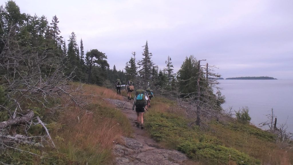
This is the island’s classic warm‑up hike: a 4.1–4.2 mile total loop that leaves right from Rock Harbor Lodge, swings along the Lake Superior shoreline to Scoville Point, and returns on a different path. It’s easy by Isle Royale standards—mostly gentle grades with intermittent rocky sections—and a perfect first outing after you arrive by boat or seaplane. A signed cross‑trail creates a figure‑eight, so you can shorten to around 1.9 or 3.2 miles if weather or time are tight.
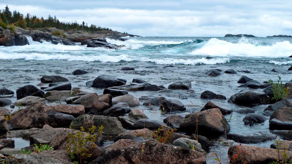
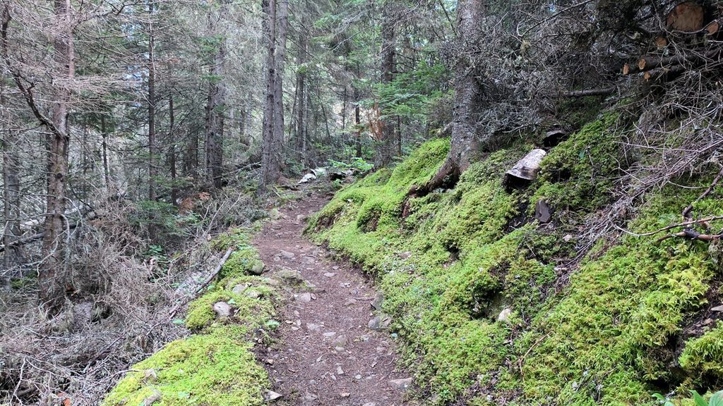
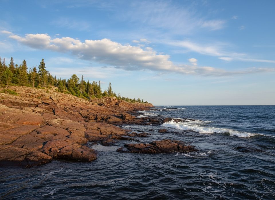
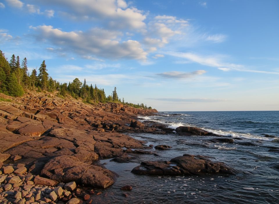
Expect a greatest-hits sampler of Isle Royale scenery in a small package: shady forest, occasional swampy/muddy stretches, and long runs of craggy bedrock right along Superior’s edge. The lake’s erosive power shows in sharp cliffs and wave-polished rock. You’ll pass cobble beach pockets, grassy openings, and interesting volcanic outcrops, with benches and flat rock perches made for lingering. Scoville Point delivers sweeping water-and-islands views; watch for boats and kayaks sliding through the channels. Flora shifts with exposure—scraggly pines and juniper cling to headlands while taller forest shelters the inland sections.
Wildlife is always a maybe, but moose, foxes, and beavers are all reported in the Rock Harbor area. Early or late in the day ups your odds—and makes the light on the shoreline pop.
Though easy overall, expect uneven footing and some short, rocky ups and downs—especially near the point. Rocks get slick when wet, and there are cliffy edges where you’ll want to keep kids close. Parts of the route can be muddy after rain. The trail is not wheelchair accessible.
Late spring through early fall aligns with the visitor season. Summer brings the most stable conditions and vibrant greens; July–August can even offer berries along sunny, rocky stretches. Start early or go late afternoon for softer light, better wildlife chances, and fewer people near Rock Harbor. Lake Superior drives fast-changing weather year-round—carry a light rain shell and a layer even on “nice” days.
High reward, low effort. If you’re based in Rock Harbor, this is the most convenient way to get those signature Superior views without committing to a long backcountry day. It’s popular for a reason—and still delivers plenty of quiet corners if you time it right.
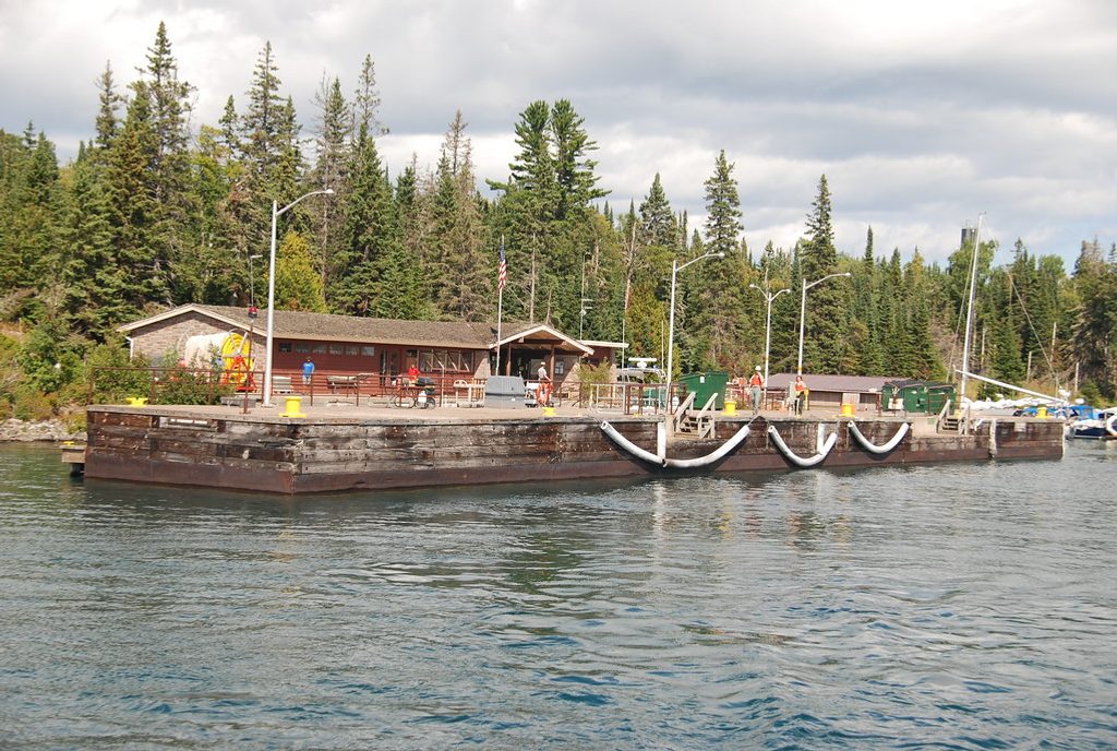
Arrive by ferry or seaplane to Rock Harbor; the trail begins by Rock Harbor Lodge/marina—no on-island parking needed.
Lake Superior weather shifts fast; wet bedrock is slick and some edges are cliffy. Expect muddy sections. Moose can be unpredictable—keep distance.
Place · 0 mi away
Place · 0.1 mi away
Place · 0.1 mi away
Place · 0.1 mi away
Moderate · 0 mi away
Easy · 0 mi away
Easy · 0.6 mi away
Easy · 0.6 mi away

Parkwolf Tour Guide
