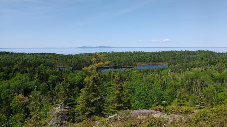
Parking
There is no road-access parking on Isle Royale. Begin beyond Rock Harbor Campground after arriving by ferry or boat, and arrange a reserved water-taxi return from Moskey Basin if you are not continuing on foot.

Isle Royale National Park, MI
An 11-mile rocky shoreline hike from Rock Harbor to Moskey Basin.
Overview
Map & elevation
Plan your hike

The highest, rockiest slopes around here are a summer buffet for grizzly bears.
Isle Royale Tour Guide
Parkwolf is a GPS audio tour guide for Isle Royale National Park. As you drive, it chimes in with what’s ahead: hidden gems, upcoming stops, history, geology, and wildlife, right through your car’s speakers.
Recorded for this area
Rock Harbor Lodge and Scoville Point“You're approaching Rock Harbor Lodge, a useful stop for a hot meal even if you're not staying overnight. Greenstone Grill serves pizza, burgers and sandwiches, with a deck overlooking the harbor.”
Plays near this trailhead in the Parkwolf Isle Royale Tour Guide.
More stories near here in the app
“Fantastic app with many points of information… It’s great to just turn on while you’re driving and it gives you an audio tour of the national Park. We love it!!!!”


Trail guide
Rock Harbor Trail is an 11-mile, one-way route from Rock Harbor Campground to Moskey Basin, following Lake Superior’s Rock Harbor Channel through Three Mile and Daisy Farm. The route winds over rocky shore and inland rises, then finishes at Moskey Basin Campground at the west end of the channel. Allow about seven hours on foot and set aside the day for rests and boat logistics. Arrange a water-taxi return from Moskey Basin in advance; walking back makes this about a 22-mile outing. For a shorter walk, go to Three Mile (about 3.6 miles one way) and arrange a return boat.
The trail starts beyond Rock Harbor Campground and soon crosses rocky outcrops and roots, with repeated short climbs and descents. Wet rock is slippery. Cairns mark open ridges where the tread can be harder to follow. The reward is a changing view over Rock Harbor Channel and its outer islands. About 1.8 miles from Rock Harbor, a spur reaches Suzy’s Cave; the main trail then passes the Tobin Harbor and Mount Franklin junctions before reaching Three Mile Campground at roughly 3.6 miles.
From Three Mile, the route continues west to Daisy Farm over another 4.2 miles of rocky, rolling trail. Views open across the channel toward Mott Island, where the park headquarters are located, and farther along toward Rock Harbor Lighthouse and Edisen Fishery. The Siskowit Mine site lies near this stretch, about 1.9 miles from the Mount Franklin junction. Daisy Farm is a useful shoreline stop before the final inland section.
Leaving Daisy Farm, follow the short connection to the Rock Harbor Trail junction, then continue over rocky hills and dips through forest. Cairns mark the way. A rocky outcrop soon after the junction offers one of the few views toward Moskey Basin; most of this final stretch is wooded rather than a continuous shoreline walk. The endpoint is the campground on the west end of Rock Harbor Channel, with a view that catches the early light.
Suzy’s Cave is an inland sea arch carved by waves when Lake Superior’s shore stood higher, about 4,000 years ago. A marked spur reaches it around 1.8 miles from Rock Harbor. The cave is a side visit rather than the through-route’s destination; the Tobin Harbor Trail offers another approach and can be paired with the Rock Harbor Trail for a shorter loop near the harbor.
This is a remote island hike, not a road-access trail. Reach Rock Harbor by ferry or boat, and plan the finish before starting. Carry enough food and water for the full day; island supplies are limited. Dogs and other pets are not allowed on Isle Royale. The full-route distance differs slightly among descriptions; the 11-mile figure represents the shortest mapped campground-to-campground corridor, while section estimates are approximate.
Wildlife
 308 sightingsMooseMost seen around 8 PMSighting map
 93 sightingsWolfMost seen around 8 PMSighting map
 77 sightingsBald EagleMost seen around 5 PMSighting map
 150 sightingsLoonMost seen around 7 AMSighting map
 24 sightingsTrumpeter SwanMost seen around 6 PMSighting map
 71 sightingsBeaverMost seen around 8 PMSighting map
Sighting maps show where each species has been reported across Isle Royale. Wildlife moves, so no sighting is guaranteed.
Keep exploring
 ModerateScoville Point Loop4.2 mi · 3 hr · At the trailheadA rough lakeshore and wooded harbor side meet at Scoville Point.
 ModerateSuzy’s Cave Loop3.8 mi · 3.5 hr · At the trailheadA rocky shoreline loop to Isle Royale’s inland sea arch.
 ModerateStoll Memorial Trail (Short Loop)1.8 mi · 1.5 hr · At the trailheadA wooded and rocky interpretive loop near Rock Harbor.
 EasyTobin Harbor Trail3 mi · 3 hr · 0.1 mi awayHarbor islands and an inland sea arch off an easy woodland walk
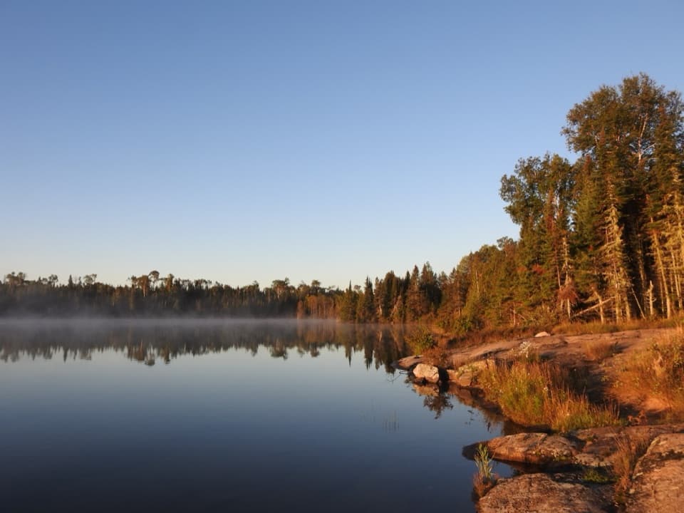 ChallengingHarbor to Hills Loop33.2 mi · 1.3 days · 0.1 mi awayA 33-mile island loop climbs from Lake Superior shore to Greenstone Ridge.
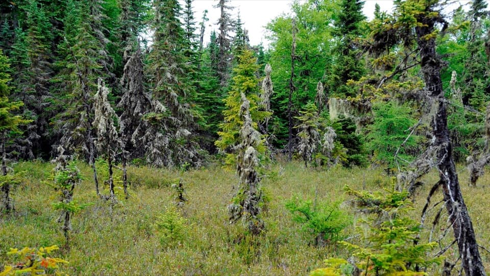 EasyRaspberry Island Trail0.9 mi · 45 min · 0.5 mi awayBoardwalks lead into a tiny bog before the rocky shore.
 ModerateTobin–Duncan Portage Trail1.6 mi · 1.5 hr · 0.6 mi awayA steep, boat-accessed crossing over Greenstone Ridge.
 ModerateLookout Louise Trail2 mi · 1.3 hr · 1 mi awayA rocky climb past Monument Rock opens over Duncan Bay.
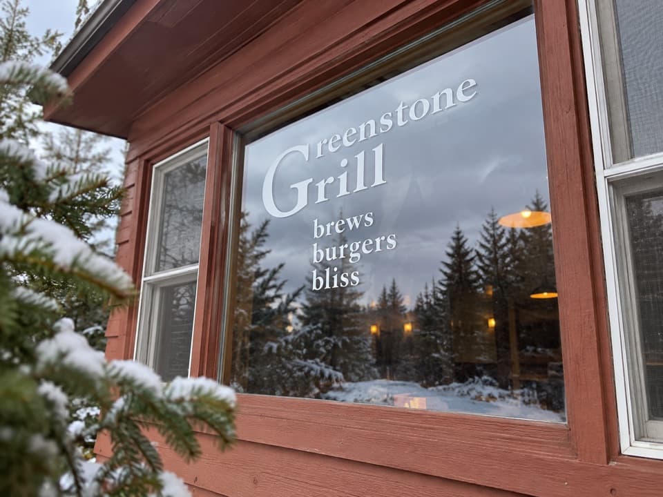 Restaurant · 0.1 mi awayGreenstone GrillA hot meal and harbor-view deck after a day on the island.
 Restaurant · 0.1 mi awayLighthouse RestaurantA sit-down meal at Rock Harbor, far from the mainland.
 Lodging · 0.1 mi awayRock Harbor LodgeStay beside Lake Superior at the island's only full-service lodge.
 Sight · 0.1 mi awayRock Harbor MarinaFuel, rentals and dock services in a remote island harbor.
 Visitor center · 0.1 mi awayRock Harbor Visitor CenterA smart first stop for ranger answers and island trip planning.
 Store · 0.1 mi awayRock Harbor StoreGroceries, fuel and gear before you leave the main dock.
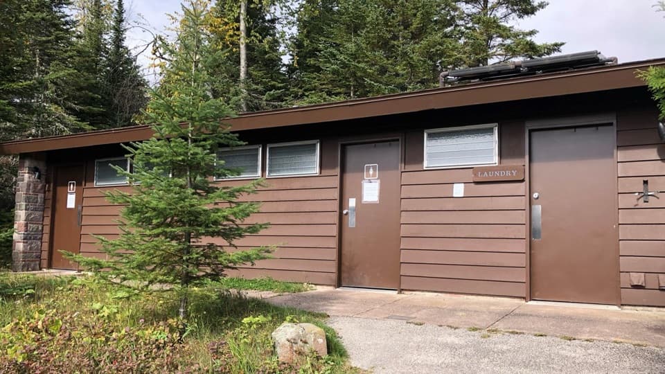 Restroom · 0.1 mi awayRock Harbor Comfort StationSeasonal toilets, showers and laundry in Rock Harbor.
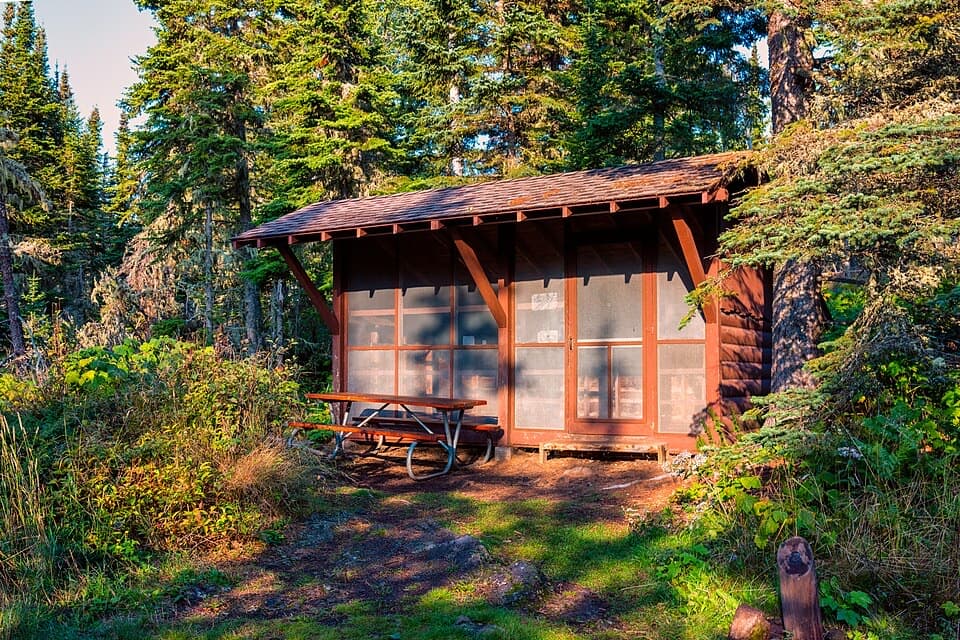 Campground · 0.3 mi awayRock Harbor CampgroundA busy harbor base with campsites close to ferries and trailheads.
Parkwolf’s Isle Royale ranking

The audio tour guide for the drive, plus offline maps, trails, and wildlife heatmaps for when the signal drops.