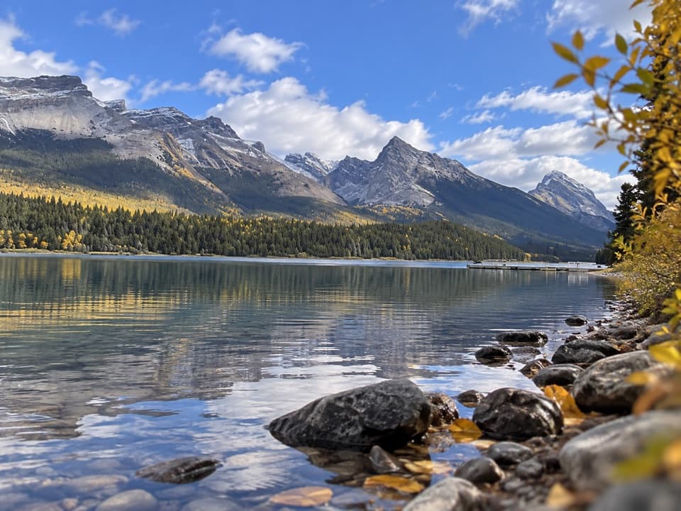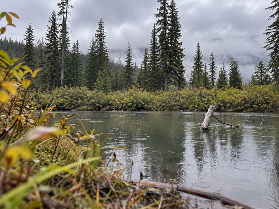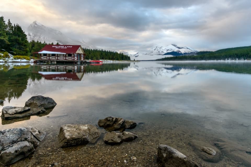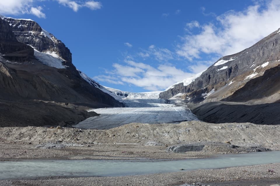
Fisherman’s Bay Campground in Jasper National Park

Campground · Jasper National Park

Fisherman’s Bay Campground

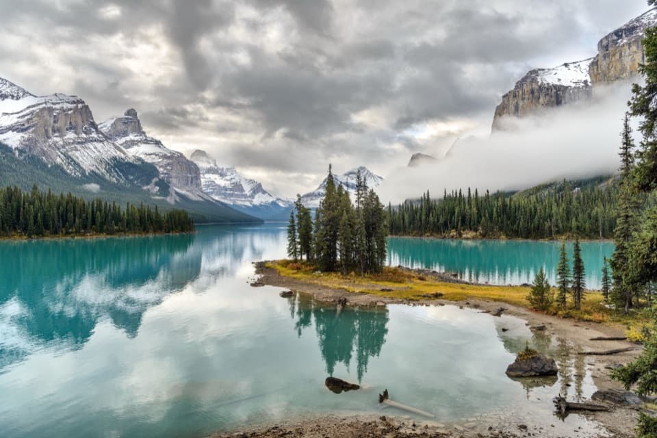
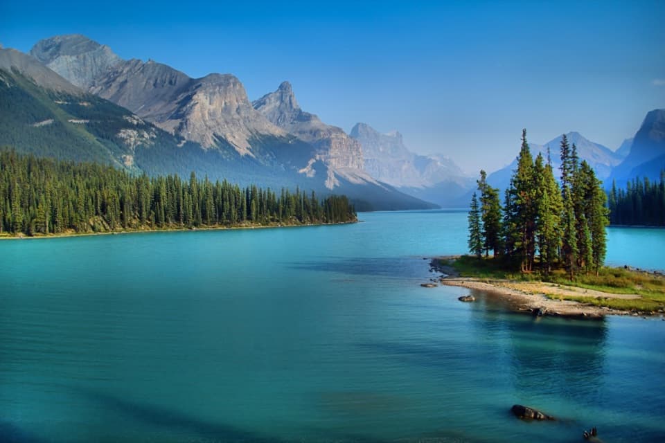
Paddle halfway down Maligne Lake, 2 km from Spirit Island.

Type
Campground
Nearest trail
1.2 km
  • Restrooms
  • Scenic viewpoint
Parkwolf audio tour170 stories across Jasper’s roads
Download Parkwolf on the App StoreGet Parkwolf on Google Play

4.7 from 8,600+ ratings

Overview

About Fisherman’s Bay Campground

Why stop

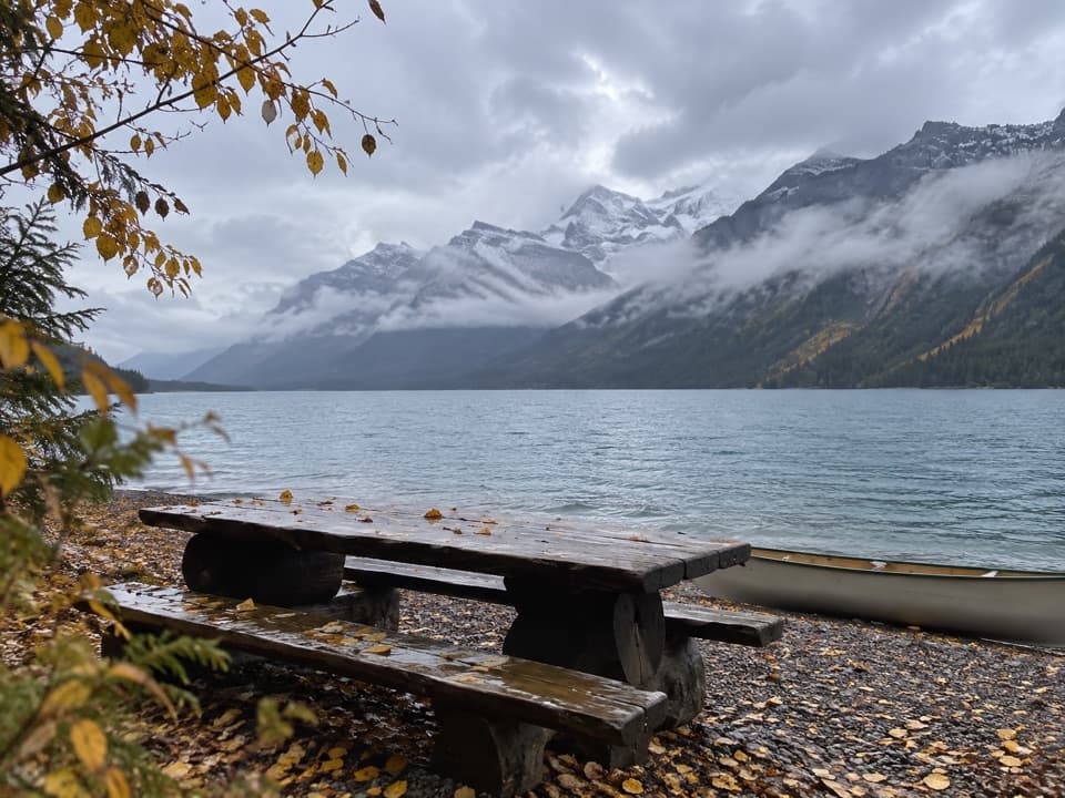
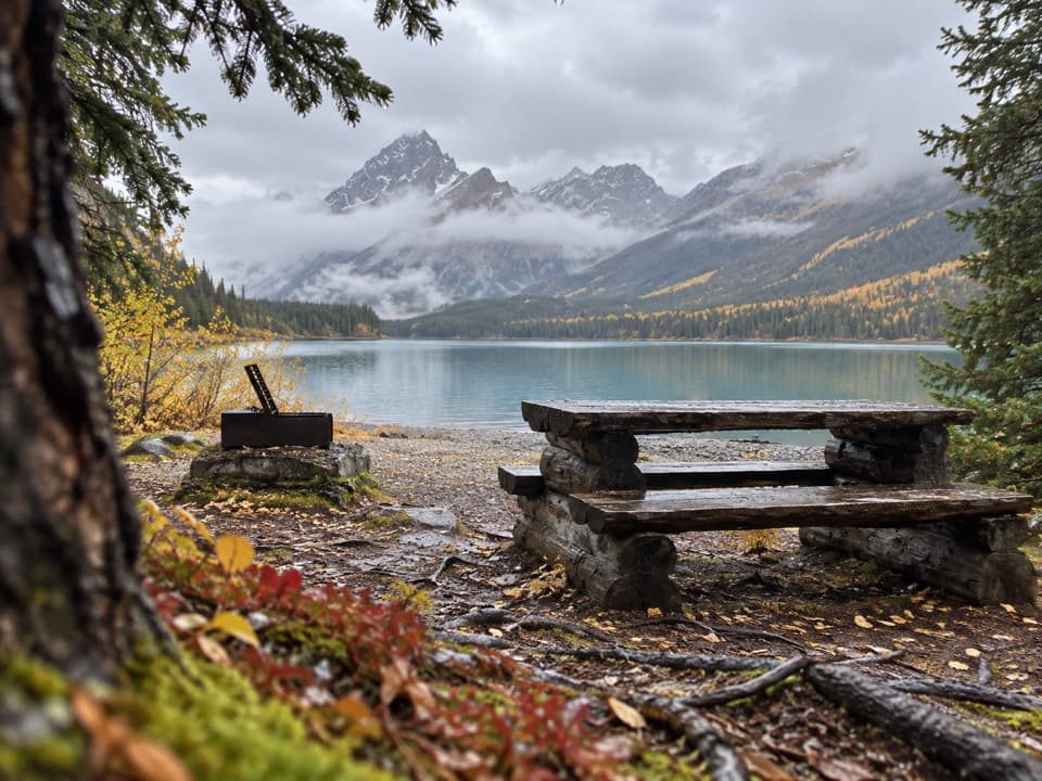
  • Eight-site cove on Maligne Lake
  • A useful overnight stop near Spirit Island

Heads up

  • A 13 km paddle from the launch
  • Cold water and sudden weather changes

Map

Where it is

Loading the Jasper map
Full map
CampgroundFisherman’s Bay Campground52.65264, -117.50308
Keep this map with you offline in the Parkwolf app

Plan your stop

Before you go

4 active Jasper alerts

  • ClosureCavell Road and Maligne Canyon closedCavell Road and Maligne Canyon are closed; do not plan access to these areas.Official details
  • Caution93A construction restricts cyclistsConstruction on Highway 93A between the north end of 93N and Marmot Road means single-lane vehicle access and no cycling from November 2026 through spring 2027.Official details

See all 4 alerts
A park ranger sits on a dash-mounted phone, talking, as Parkwolf’s Tour Guide plays “Army Cutworm Moths: A Grizzly Bear Buffet” on Grand Loop Road below Dunraven Pass in Yellowstone
Parkwolf Tour GuideThe highest, rockiest slopes around here are a summer buffet for grizzly bears.

Jasper Tour Guide

Your drive to Fisherman’s Bay Campground, narrated.

Parkwolf is a GPS audio tour guide for Jasper National Park. As you drive, it chimes in with what’s ahead: hidden gems, upcoming stops, history, geology, and wildlife, right through your car’s speakers.

See the Jasper audio tour
  • 170 audio storiesacross Jasper’s roads, triggered by GPS as you drive
  • Wildlife heatmapsfor Grizzly Bear, Caribou, Gray Wolf, and 13 more
  • Works offlinemaps, 74 trails, 189 places, and audio download before you lose signal
  • CarPlay readysimple controls built for the drive
★★★★★
“Fantastic app with many points of information… It’s great to just turn on while you’re driving and it gives you an audio tour of the national Park. We love it!!!!”
JMJamesApp Store review
Download Parkwolf on the App StoreGet Parkwolf on Google Play

4.7 from 8,600+ ratings

Guide

More about Fisherman’s Bay Campground

Camp by boat, not roadFisherman’s Bay is an eight-site backcountry campground in a small inlet on the east shore of…

Fisherman’s Bay is an eight-site backcountry campground in a small inlet on the east shore of Maligne Lake. It is 13 km by water from the launch, so plan for an overnight paddle rather than a quick stop. Canoes, kayaks and electric-motor boats are allowed on the lake; gas motors and generators are prohibited.

Sort out the practical detailsThe campground’s listed facilities are food-storage lockers and barrel toilets.

The campground’s listed facilities are food-storage lockers and barrel toilets. A valid backcountry camping permit and national park entry pass are required. Maligne Lake’s camps are popular in summer, so book well ahead. Stays are limited to two nights at one campground and six nights total.

Keep paddling for Spirit IslandSpirit Island is another 2 km down the lake.

Spirit Island is another 2 km down the lake. Fisherman’s Bay makes a useful overnight stop on that route, but the island’s classic view is a separate paddle, not the view from camp.

Give the lake and weather respectMaligne Lake stays around 4°C even in summer.

Maligne Lake stays around 4°C even in summer. Snow can fall in any month, and high winds or sudden weather changes can make lake travel unsafe. Start early, wear a life jacket and avoid paddling in poor weather.

A valley shaped by iceMaligne Lake occupies a glacially carved U-shaped valley, held at its north end by an end…

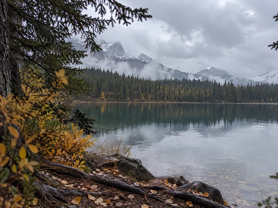
Maligne Lake occupies a glacially carved U-shaped valley, held at its north end by an end moraine. Across the water, the sharp Colin Range is limestone; the more rounded Maligne Range is quartzite and shale shaped by glacial erosion.

The lake’s earlier nameStoney/Nakoda people knew the lake as Chaba Imne, or “Beaver Lake.”

Stoney/Nakoda people knew the lake as Chaba Imne, or “Beaver Lake.” In 1907, Samson Beaver drew Mary Schäffer a map and route to the lake; she reached it the following year, and her writing helped draw visitors to the area.

Wildlife

Wildlife in Jasper

All Jasper wildlife maps

Sighting maps show where each species has been reported across Jasper. Wildlife moves, so no sighting is guaranteed.

Parkwolf’s Jasper ranking

Top sights in Jasper

All 189 places
  1. 1Maligne LakeSight
  2. 2Spirit IslandSight
  3. 3Athabasca GlacierSight
  4. 4Athabasca FallsSight
  5. 5Sunwapta FallsSight
  6. 6Mount Edith CavellSight

Take Parkwolf to Jasper.

The audio tour guide for the drive, plus offline maps, trails, and wildlife heatmaps for when the signal drops.

4.7 from 8,600+ ratings

Download Parkwolf on the App StoreGet Parkwolf on Google Play