Tekarra Backcountry Campground in Jasper National Park

Campground · Jasper National Park

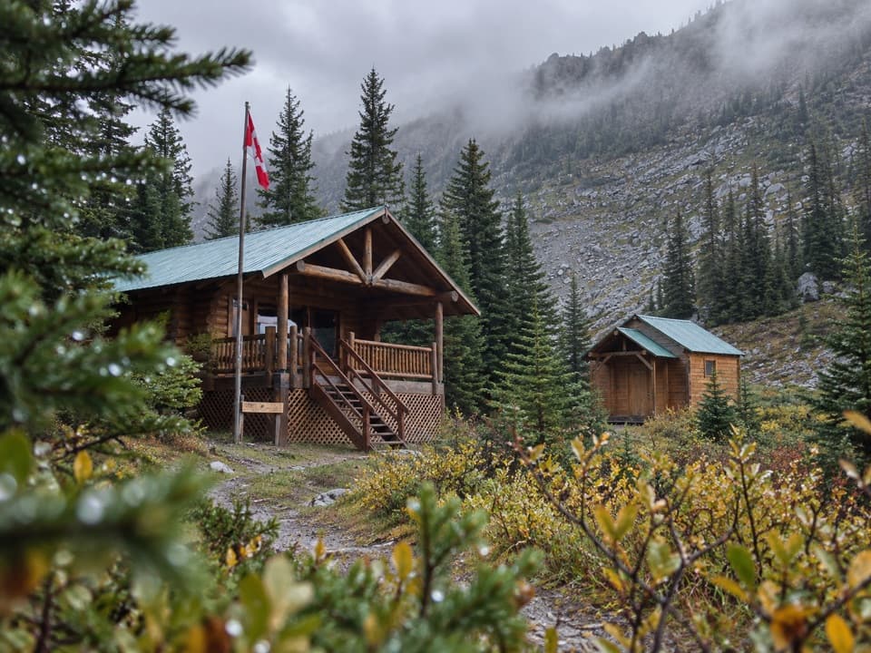
Tekarra Backcountry Campground

A creekside camp at 2,062 metres on the Skyline.

Type
Campground
  • Restrooms
Parkwolf audio tour170 stories across Jasper’s roads
Download Parkwolf on the App StoreGet Parkwolf on Google Play

4.7 from 8,600+ ratings

Overview

About Tekarra Backcountry Campground

Why stop

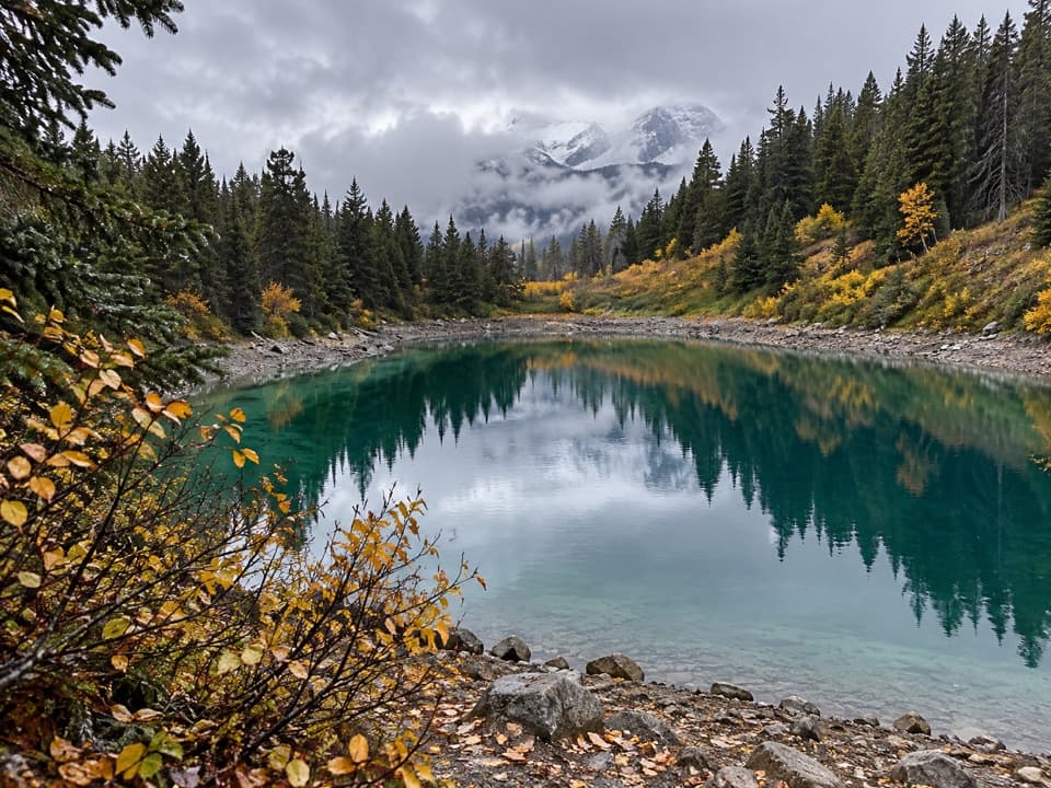
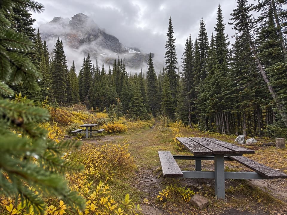
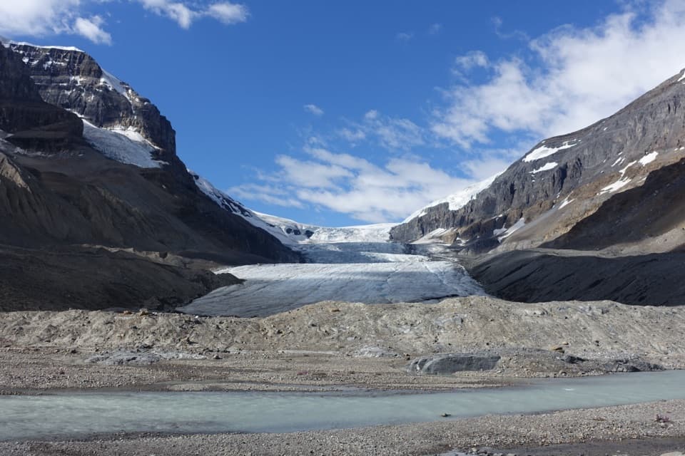
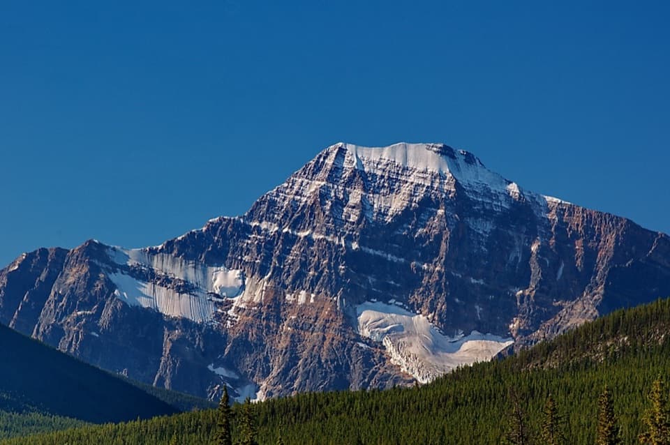
  • A dramatic alpine view toward Mount Tekarra

Heads up

  • Only reachable on a permit-based, multi-day backcountry trip

Map

Where it is

Loading the Jasper map
Full map
CampgroundTekarra Backcountry Campground52.84719, -117.92078
Keep this map with you offline in the Parkwolf app

Plan your stop

Before you go

4 active Jasper alerts

  • ClosureCavell Road and Maligne Canyon closedCavell Road and Maligne Canyon are closed; do not plan access to these areas.Official details
  • Caution93A construction restricts cyclistsConstruction on Highway 93A between the north end of 93N and Marmot Road means single-lane vehicle access and no cycling from November 2026 through spring 2027.Official details

See all 4 alerts
A park ranger sits on a dash-mounted phone, talking, as Parkwolf’s Tour Guide plays “Army Cutworm Moths: A Grizzly Bear Buffet” on Grand Loop Road below Dunraven Pass in Yellowstone
Parkwolf Tour GuideThe highest, rockiest slopes around here are a summer buffet for grizzly bears.

Jasper Tour Guide

Your drive to Tekarra Backcountry Campground, narrated.

Parkwolf is a GPS audio tour guide for Jasper National Park. As you drive, it chimes in with what’s ahead: hidden gems, upcoming stops, history, geology, and wildlife, right through your car’s speakers.

See the Jasper audio tour

More stories near here in the app

  • Fireweed Takes to the Air
  • Maligne River Picnic Area: A Break by the Water
  • The Songbird Underwater
  • The Beetle Behind Blue Wood
  • 170 audio storiesacross Jasper’s roads, triggered by GPS as you drive
  • Wildlife heatmapsfor Grizzly Bear, Caribou, Gray Wolf, and 13 more
  • Works offlinemaps, 74 trails, 189 places, and audio download before you lose signal
  • CarPlay readysimple controls built for the drive
★★★★★
“Fantastic app with many points of information… It’s great to just turn on while you’re driving and it gives you an audio tour of the national Park. We love it!!!!”
JMJamesApp Store review
Download Parkwolf on the App StoreGet Parkwolf on Google Play

4.7 from 8,600+ ratings

Guide

More about Tekarra Backcountry Campground

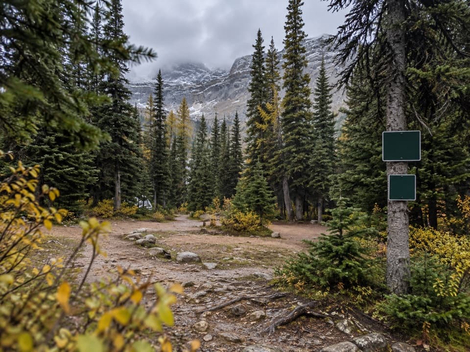
An overnight stop on the SkylineTekarra is a designated backcountry campground at 2,062 metres on the 44.

Tekarra is a designated backcountry campground at 2,062 metres on the 44.1-kilometre Skyline Trail. This is a tent stop on a demanding two- to three-day traverse, not a road-access campsite. On the northbound itinerary, camp follows the high ridge at The Notch and a steady 5.5-kilometre descent. Plan to visit as part of the full backpacking trip, not as a casual side outing.

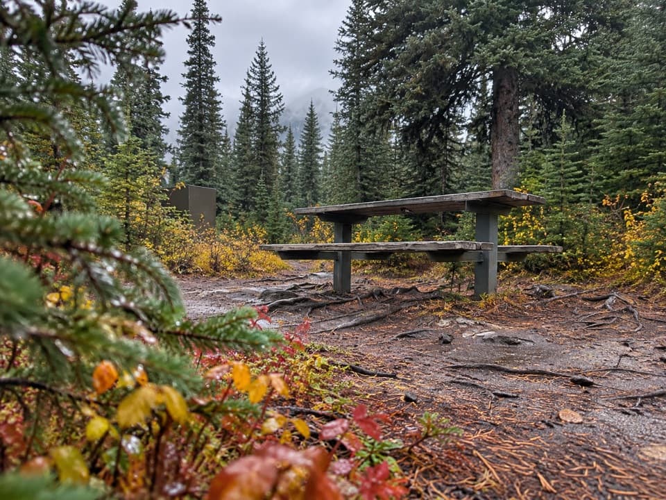
What you’ll find at campThere are eight sites, food lockers and a barrel toilet a short walk from the tent area.

There are eight sites, food lockers and a barrel toilet a short walk from the tent area. Some pads are recycled plastic with anchor points, so an ordinary tent peg will not work on those pads. No potable-water tap is listed; bring a treatment method rather than assuming the creek is safe to drink. A backcountry camping permit for a designated site and a park entry pass are required. There is no vehicle access or food service.

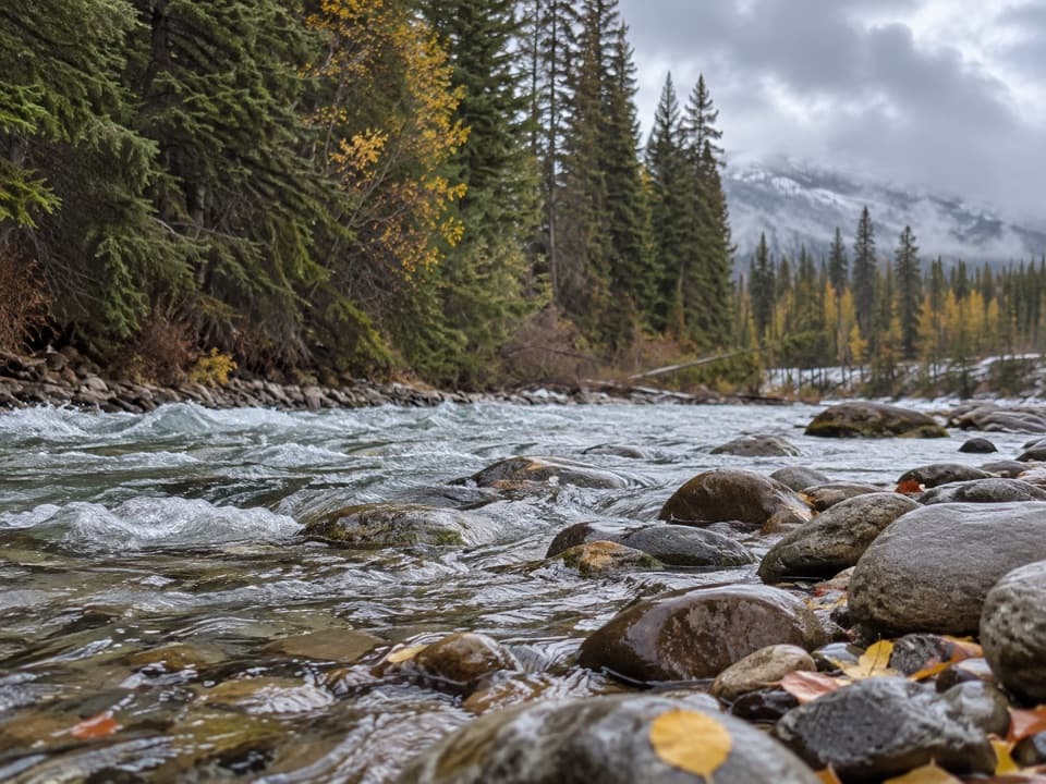
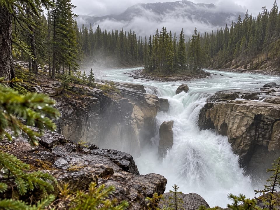
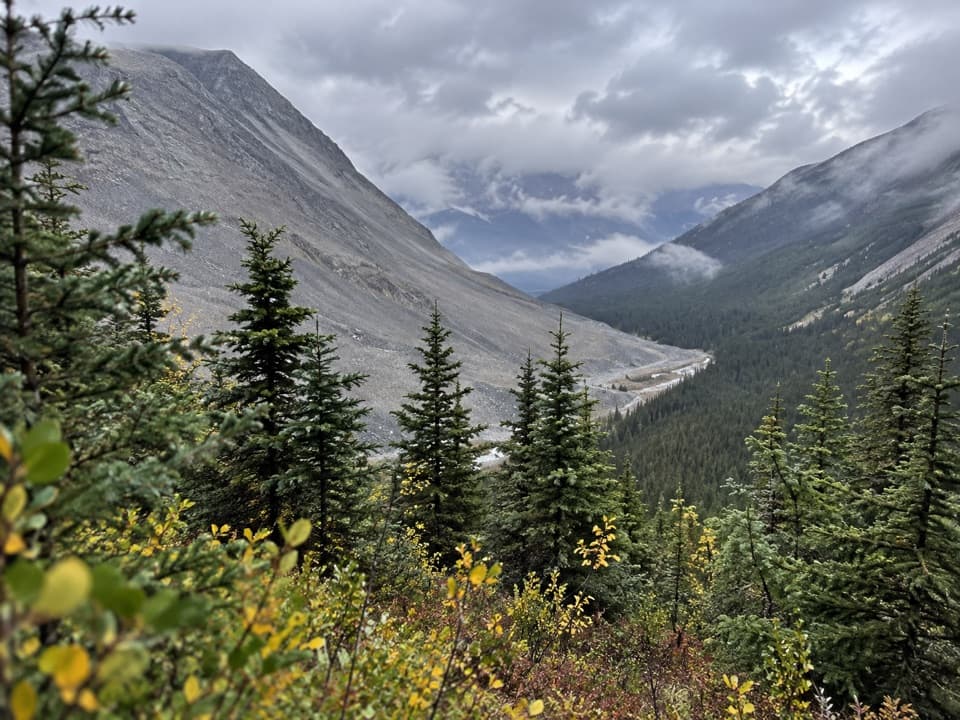
Creekside, with a mountain viewA fast-moving creek runs beside camp, with views toward Mount Tekarra across the alpine valley.

A fast-moving creek runs beside camp, with views toward Mount Tekarra across the alpine valley. After a long stretch above treeline, this is a welcome place to settle, eat and rest by the water. The setting and the trail are the draw; facilities are simple and shared.

Plan around the high routeThe Skyline is normally hiked south to north over two to three days, with much of the route…

The Skyline is normally hiked south to north over two to three days, with much of the route above treeline. Snow can linger into summer, and The Notch may be impassable early in the season, so check trail conditions before committing. Dogs are not allowed on the route.

Wildlife

Wildlife in Jasper

All Jasper wildlife maps

Sighting maps show where each species has been reported across Jasper. Wildlife moves, so no sighting is guaranteed.

Parkwolf’s Jasper ranking

Top sights in Jasper

All 189 places
  1. 1Maligne LakeSight
  2. 2Spirit IslandSight
  3. 3Athabasca GlacierSight
  4. 4Athabasca FallsSight
  5. 5Sunwapta FallsSight
  6. 6Mount Edith CavellSight

Take Parkwolf to Jasper.

The audio tour guide for the drive, plus offline maps, trails, and wildlife heatmaps for when the signal drops.

4.7 from 8,600+ ratings

Download Parkwolf on the App StoreGet Parkwolf on Google Play