Yellowhead Pass National Historic Site

Low-elevation Continental Divide crossing with views and history panels
Yellowhead Pass National Historic Site, Jasper National Park
InsideJasper National Park

Overview

Yellowhead Pass is less a single viewpoint and more a living corridor: highway, railway, river, and mountains all braided together where Alberta meets British Columbia. It’s officially recognized as a National Historic Site because this is one of the lowest crossings of the Great Divide in the Northern Rockies, which made it a natural gateway for travel long before modern roads.

What You’ll See

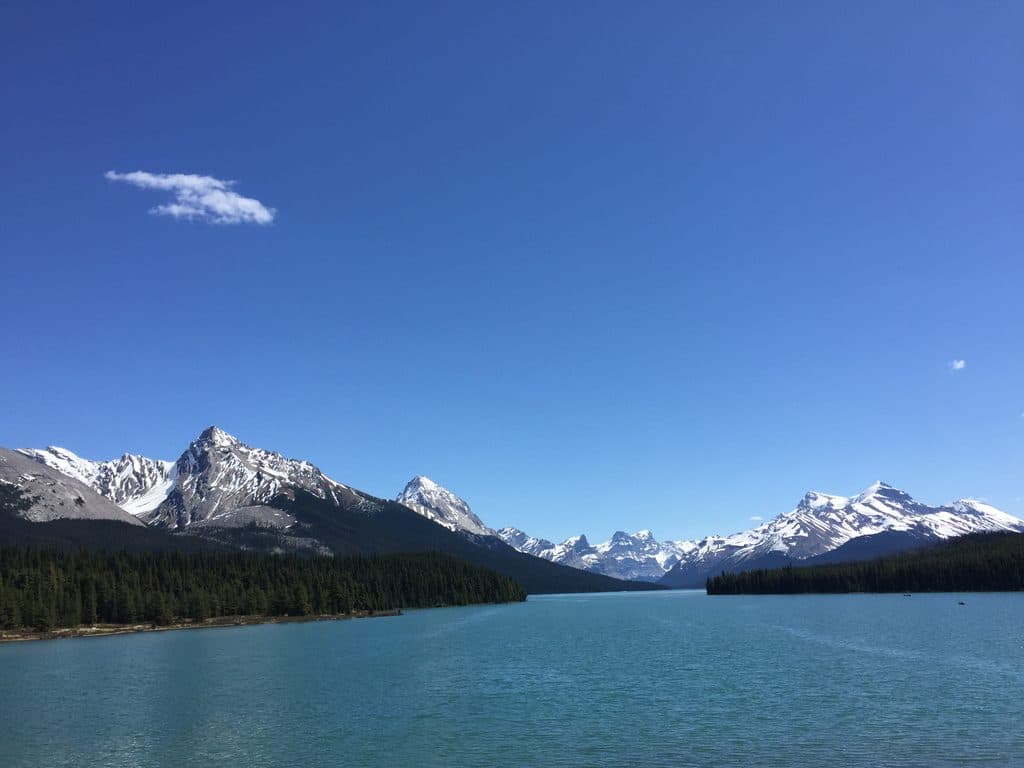
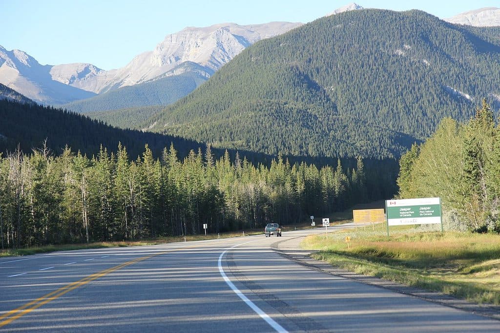
Pull off along Highway 16 west of Jasper and you’re in a broad valley lined with dense forest, clear rivers, and big mountain views. Expect a commemorative plaque and interpretive panels that explain the pass’s story, with trains rolling by and long views west toward the divide. It’s a quick, worthwhile breather on a long drive.

Why It Matters

For centuries, Indigenous peoples used this low pass to move through the Rockies. Later came the fur trade (Hudson’s Bay Company), then the twin iron ribbons of the Grand Trunk Pacific and Canadian Northern railways, and finally the modern highway. The name “Yellowhead” nods to Bostonais (Tête Jaune), a fair‑haired Métis‑Iroquois freeman active here in the early 1800s. Today the site commemorates that layered travel history and the cultural landscape that made it possible.

How to Visit

From Jasper, drive west on Highway 16. There’s a large pullout with the commemorative plaque roughly 9.5 km from town, offering a clear look down the corridor. The Alberta–BC boundary lies farther west along the same drive. Amenities are minimal, so think of this as a short interpretive stop, not a developed attraction.

Wildlife

This is a busy travel corridor within a wildlife‑rich ecosystem. You might catch sight of elk, deer, or bears along the drive, especially near forest edges and rivers. Treat it as a bonus, not a guarantee, and never stop in the travel lanes to view animals.

Best Time to Visit

  • Season: Summer and early fall deliver the clearest roads and biggest vistas.
  • Time of day: Afternoon light warms the westward view down the pass; dawn and dusk are great for atmosphere but drive carefully for wildlife.
  • Crowds: It’s a roadside pullout on a trans‑Rockies highway—stops tend to be short and turnover is quick, even in peak season.


Good to Know

  • There’s no full visitor center here—just a pullout, parking, and interpretive panels.
  • Services are sparse along this stretch; stock water and snacks in Jasper before heading west.
  • It’s a great add‑on stop when you’re already driving Highway 16; not a destination on its own.

Pros

  • Easy roadside stop with interpretive panels and views
  • Historic low-elevation gateway across the Continental Divide

Cons

  • Very limited on-site facilities
  • More of a corridor than a dramatic viewpoint

Tips

  • Use the pullout about 9.5 km west of Jasper for the plaque and view.
  • Carry water and snacks—there are minimal services at the stop.
  • Drive carefully at dawn and dusk; wildlife commonly moves through the corridor.
  • Afternoon light is best for west-facing photos down the pass.
The Parkwolf tour guide sitting on a phone mounted in a car

Parkwolf Tour Guide

Like a tour guide in your car.

Save the places you found around Jasper, then let Parkwolf guide the drive between them.Download Parkwolf on the App Store