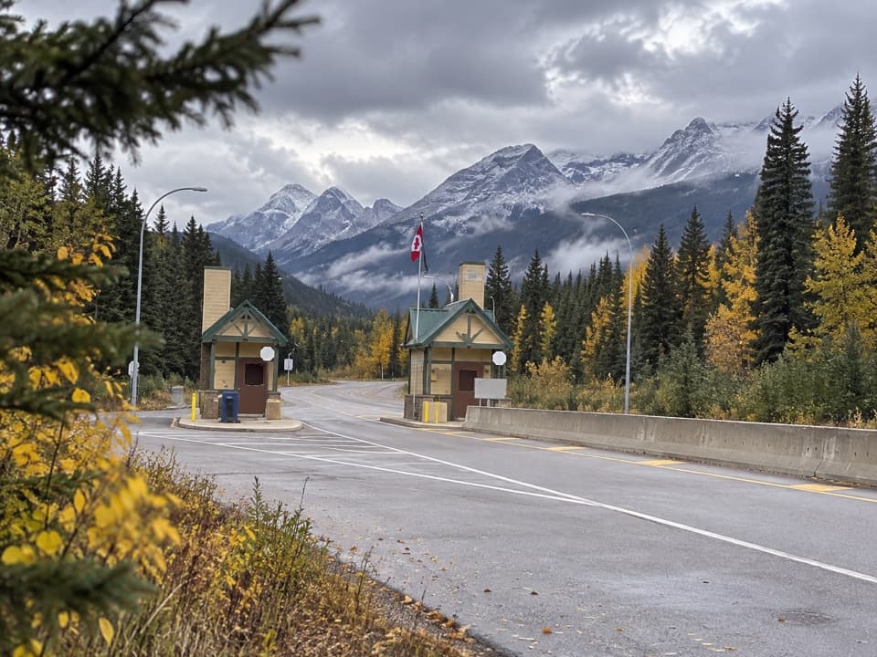
Yellowhead Pass National Historic Site Interpretive Area in Jasper National Park

Historic marker · Jasper National Park

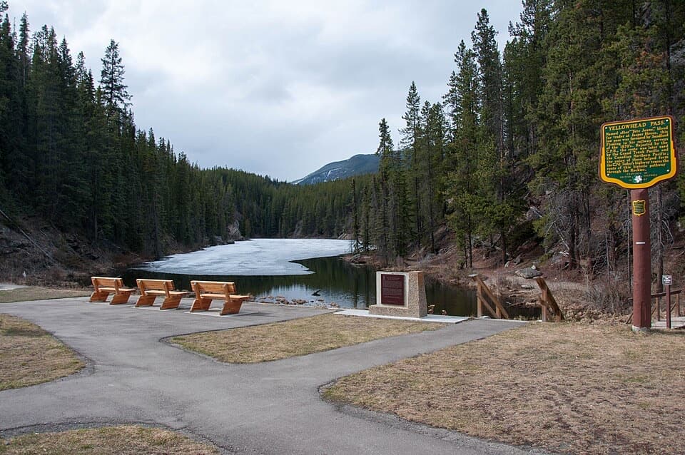
Yellowhead Pass National Historic Site Interpretive Area

A roadside break on the fur-trade route through the Rockies.

Photo: larsjuh, CC BY 2.0, via Wikimedia Commons

Type
Historic marker
Audio stories
2 nearby
  • Parking
  • Picnic tables
  • Restrooms
  • Scenic viewpoint

Hear the audio tour

Yellowhead Pass: The Leather Pass Route
Download Parkwolf on the App StoreGet Parkwolf on Google Play

4.7 from 8,600+ ratings

Overview

About Yellowhead Pass National Historic Site Interpretive Area

Why stop

  • Panels, a small lake, and picnic seating make an easy highway break.

Heads up

  • The Portal Lake loop climbs steeply in places.

Map

Where it is

Loading the Jasper map
Full map
Historic markerYellowhead Pass National Historic Site Interpretive Area52.88209, -118.45109
Keep this map with you offline in the Parkwolf app

Plan your stop

Before you go

4 active Jasper alerts

  • ClosureCavell Road and Maligne Canyon closedCavell Road and Maligne Canyon are closed; do not plan access to these areas.Official details
  • Caution93A construction restricts cyclistsConstruction on Highway 93A between the north end of 93N and Marmot Road means single-lane vehicle access and no cycling from November 2026 through spring 2027.Official details

See all 4 alerts
A park ranger sits on a dash-mounted phone, talking, as Parkwolf’s Tour Guide plays “Army Cutworm Moths: A Grizzly Bear Buffet” on Grand Loop Road below Dunraven Pass in Yellowstone
Parkwolf Tour GuideThe highest, rockiest slopes around here are a summer buffet for grizzly bears.

Jasper Tour Guide

Your drive to Yellowhead Pass National Historic Site Interpretive Area, narrated.

Parkwolf is a GPS audio tour guide for Jasper National Park. As you drive, it chimes in with what’s ahead: hidden gems, upcoming stops, history, geology, and wildlife, right through your car’s speakers.

See the Jasper audio tour

Recorded for this place

Yellowhead Pass: The Leather Pass Route
0:00 / 0:32
“You're coming up on the Yellowhead Pass interpretive area, a short history stop beside Highway Sixteen. Indigenous travellers used this low passage through the Rockies long before the highway.”

Plays as you drive up to Yellowhead Pass National Historic Site Interpretive Area in the Parkwolf Jasper Tour Guide.

More stories near here in the app

  • The Mountains That Wring Out Storms
  • The Stripes Avalanches Leave
  • The Nuthatch's Sticky Doorway
  • Jasper's Wartime Internment Camp
  • 170 audio storiesacross Jasper’s roads, triggered by GPS as you drive
  • Wildlife heatmapsfor Grizzly Bear, Caribou, Gray Wolf, and 13 more
  • Works offlinemaps, 74 trails, 189 places, and audio download before you lose signal
  • CarPlay readysimple controls built for the drive
★★★★★
“Fantastic app with many points of information… It’s great to just turn on while you’re driving and it gives you an audio tour of the national Park. We love it!!!!”
JMJamesApp Store review
Download Parkwolf on the App StoreGet Parkwolf on Google Play

4.7 from 8,600+ ratings

Guide

More about Yellowhead Pass National Historic Site Interpretive Area

A roadside stop in the passYellowhead Pass National Historic Site is a roadside interpretive stop on Highway 16, about 25…

Yellowhead Pass National Historic Site is a roadside interpretive stop on Highway 16, about 25 km west of Jasper, at a low route through the Rockies. Stop for the historic panels and a leg stretch; the pullout itself is brief, with a small lake and picnic area beside it.

Take the longer lake loopIf you want more than a quick break, follow the route around Portal Lake back to the parking…

If you want more than a quick break, follow the route around Portal Lake back to the parking area. It takes roughly 20 to 30 minutes and climbs steeply in places, so it is a better fit for a real leg-stretch than a flat stroll. The site has paved parking and paths, picnic tables and benches, and pit toilets. Parks Canada lists no food counter here, so treat it as a picnic stop.

A route before the highwayIndigenous travelers used this low northern passage through the Rockies.

Indigenous travelers used this low northern passage through the Rockies. Early fur traders called it Leather Pass for the moose, buffalo, and cow hides they carried west. Later, Overlanders crossed here in 1862 on their way toward the Cariboo goldfields. The panels mark a travel corridor with a much longer story than the road you see today.

The name and the railwayYellowhead is commonly traced to Pierre Bostonais, a fair-haired Métis-Iroquois trapper, though…

Yellowhead is commonly traced to Pierre Bostonais, a fair-haired Métis-Iroquois trapper, though historical accounts differ on the details. By 1915 two railways crossed the pass; they combined into Canadian National Railway in 1917. CN freight and VIA passenger trains still travel through the corridor alongside Highway 16.

Wildlife

Wildlife in Jasper

All Jasper wildlife maps

Sighting maps show where each species has been reported across Jasper. Wildlife moves, so no sighting is guaranteed.

Parkwolf’s Jasper ranking

Top sights in Jasper

All 189 places
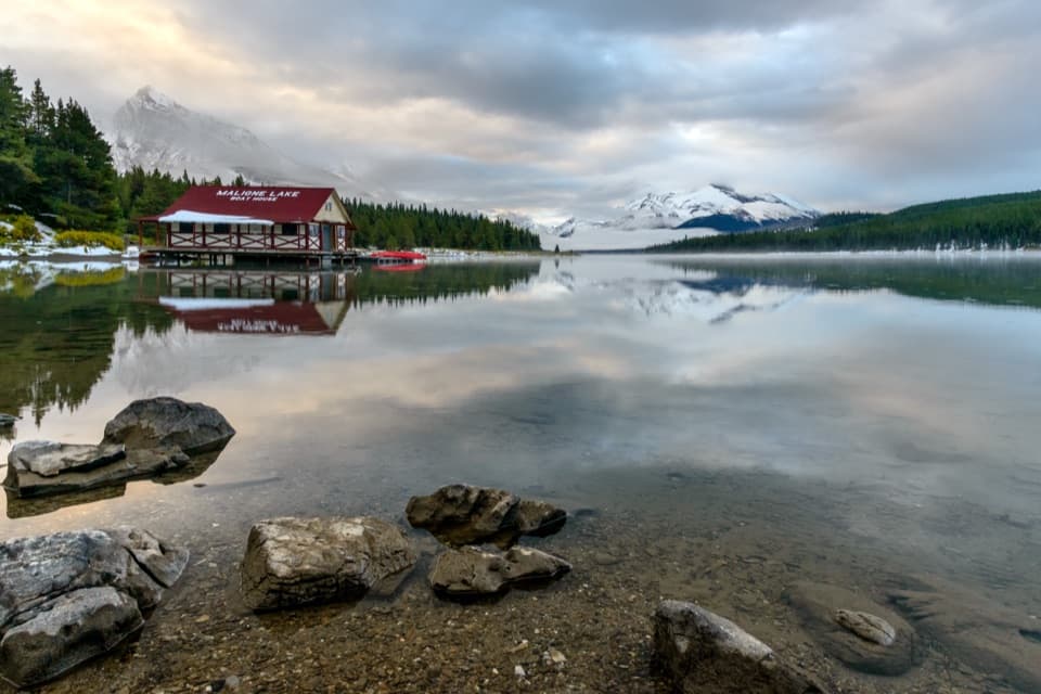
  1. 1Maligne LakeSight
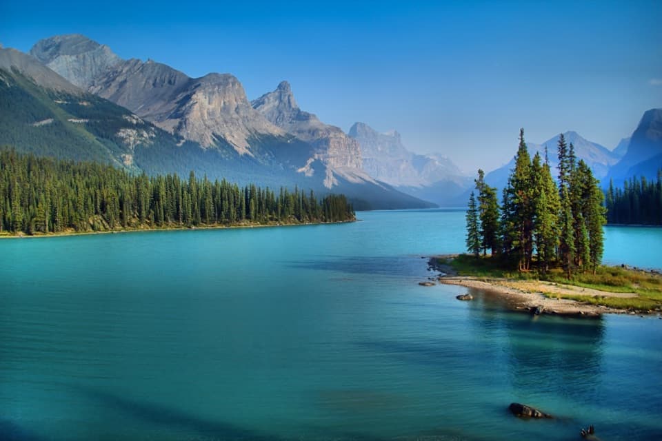
  2. 2Spirit IslandSight
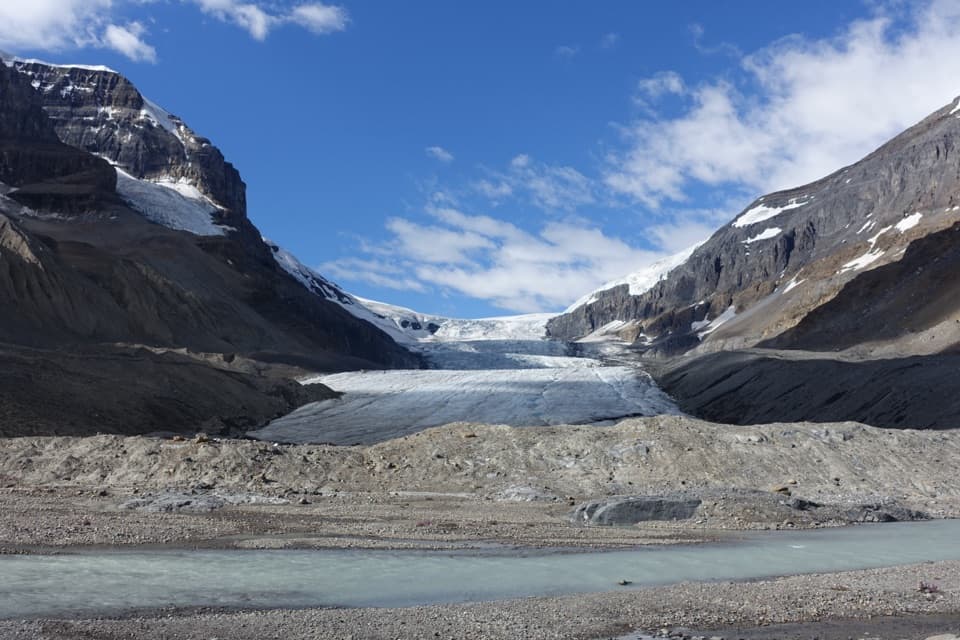
  3. 3Athabasca GlacierSight
  4. 4Athabasca FallsSight
  5. 5Sunwapta FallsSight
  6. 6Mount Edith CavellSight

Take Parkwolf to Jasper.

The audio tour guide for the drive, plus offline maps, trails, and wildlife heatmaps for when the signal drops.

4.7 from 8,600+ ratings

Download Parkwolf on the App StoreGet Parkwolf on Google Play