
Place · 0 mi away
Moderate
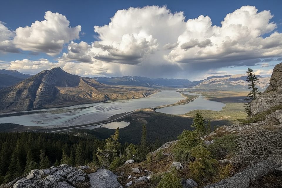
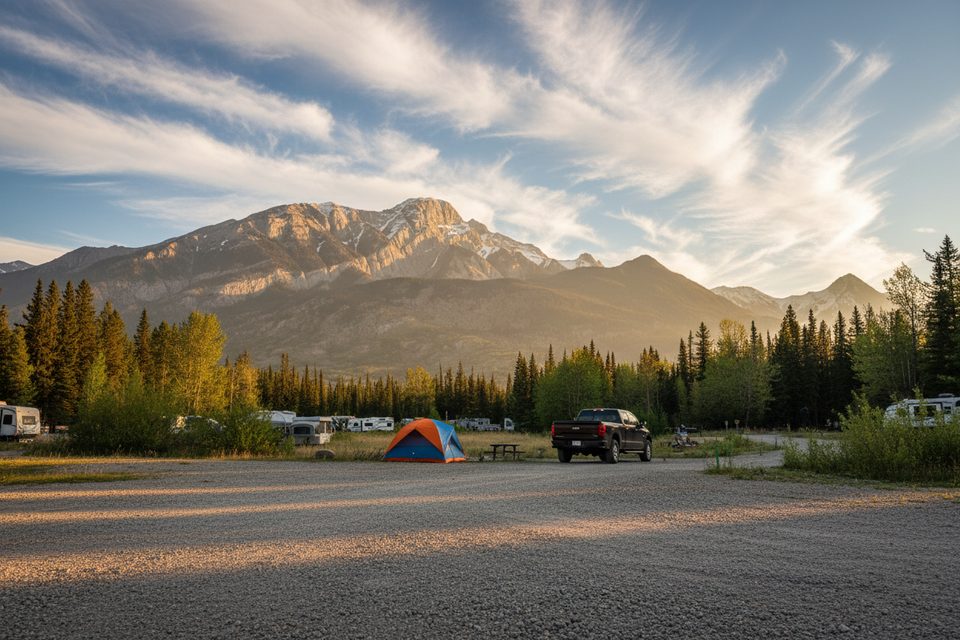
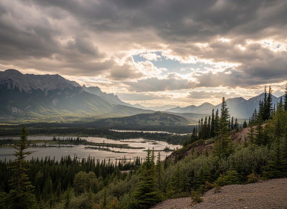
If you’re camping (or just passing through) at Snaring River Campground, this mellow riverside walk is an easy win. The trail hugs the Snaring River through forest and willowy flats with occasional openings to big, jagged-peak views. It’s peaceful, lightly traveled, and pairs perfectly with a laid-back camp morning or sunset wander.
This is an out-and-back route at about 4.6 miles total, rated moderate mostly for occasional rough tread and light route-finding. Expect a natural surface—old road segments, dirt path, and braided user tracks along the river. Stay on the most obvious tread; following the riverbank too closely can land you in dense willows, marshy bits, or steep cutbanks. It’s not a polished, highly signed park showpiece—more a pleasant, semi-wild stroll from a rustic base.
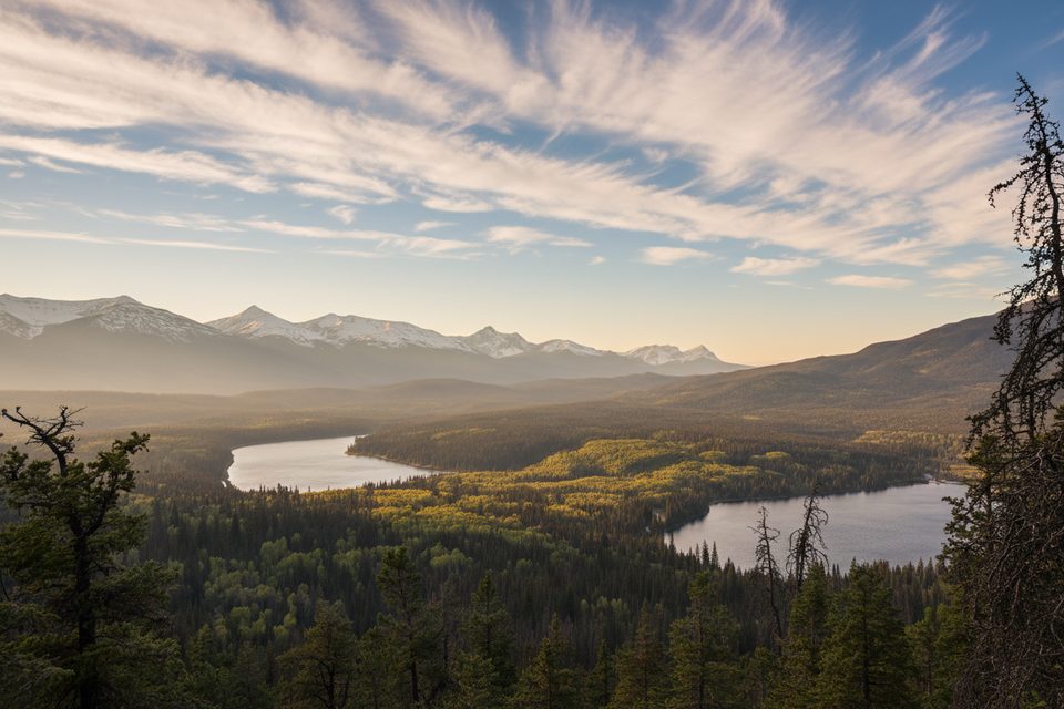
Riverside scenes shift from shaded forest to sunny, open pockets with the sound of fast water and glimpses of jagged summits. Around the campground, some stretches sit right on the river with especially scenic vantage points.
Summer into early fall is the sweet spot: stable footing, flowing river, and clear mountain views. In winter, locals sometimes ski the river corridor, but only when freeze is solid—thin ice and open leads are real hazards. If you want a straightforward, signed trail in winter, pick something else.
Start beside Snaring River Campground near the bridge just west of the highway crossing. Facilities at the campground are basic (outhouses, fire rings), and sites can go early in peak season. If you venture beyond the campground by vehicle on Snaring Road, know it gets rough and narrow—better for high-clearance driving than casual sightseeing.
Park at Snaring River Campground near the bridge over the Snaring River.
Tread can disappear into dense willows and marsh if you hug the river; carry bear deterrent; in winter, ice on the Snaring can be thin with open water—avoid unless conditions are proven safe.
Place · 0 mi away
Place · 4.9 mi away
Place · 5.8 mi away
Place · 5.9 mi away
Moderate · 5.8 mi away
Moderate · 5.8 mi away
Moderate · 5.8 mi away
Easy · 5.9 mi away

Parkwolf Tour Guide
